

Whiteshell Provincial Park
Fast facts
- Established: 1961
- Size: about 1,060 square miles (2,752 km²)
- Lakes: more than 200
- Signature route: the Mantario Trail, about 40 miles (64 km), Manitoba’s longest backcountry hiking trail
- Gateway: Winnipeg, about 90 minutes west
- Managed by: Manitoba Parks
The landscape
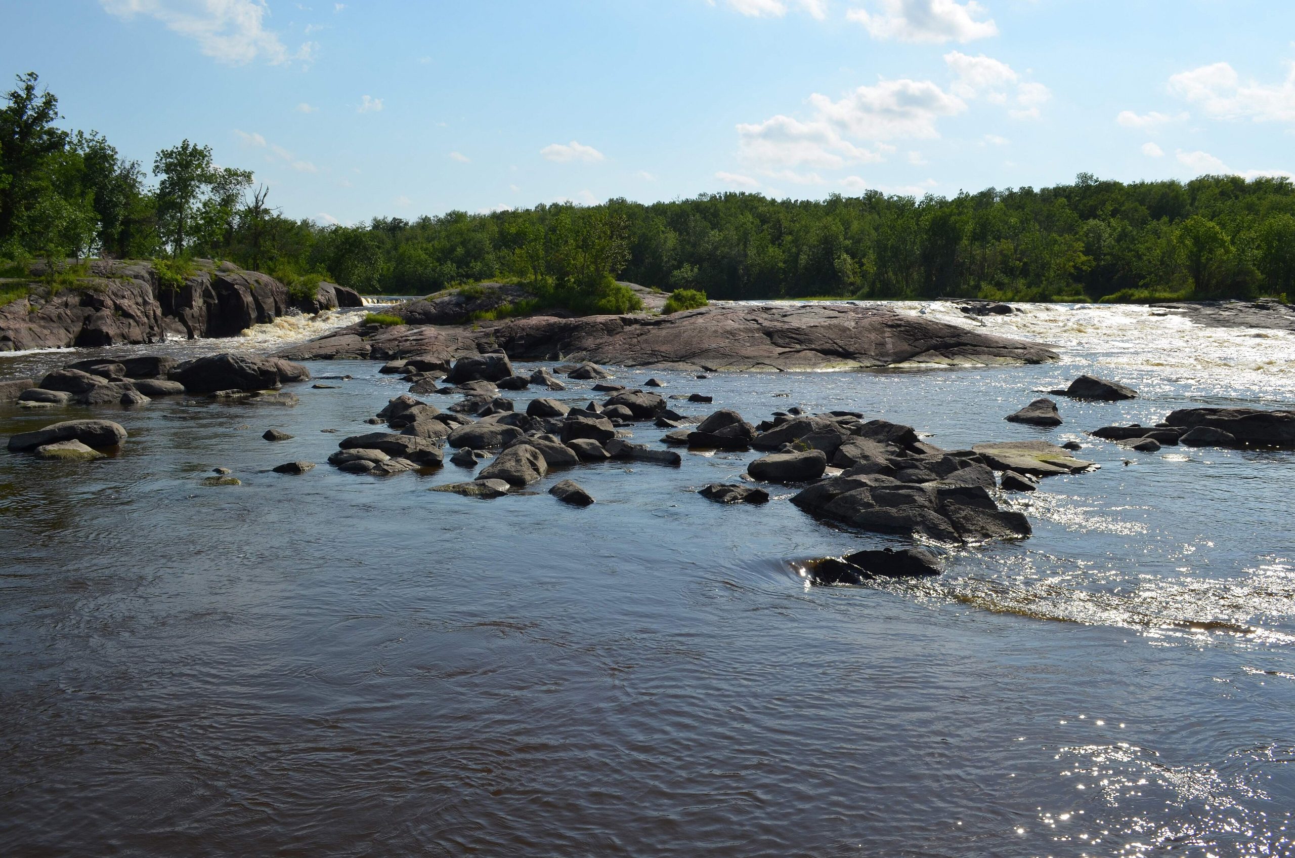
Whiteshell covers a broad sweep of the Canadian Shield along the Ontario border: rounded granite ridges, boreal forest and lakes and rivers of every size. The Mantario Wilderness Zone in the south is roadless and wild. Ancient petroforms, rock arrangements made by Indigenous peoples, are found at Bannock Point. Moose, black bears, wolves, beavers and loons live throughout the park.
Best time to go
Summer is lake season, with cottages, beaches and campgrounds busy. Late spring and early summer bring bugs. September and early October are ideal for backpacking the Mantario Trail. Winter brings cross-country skiing, snowshoeing and ice fishing.
Getting there and around
The Trans-Canada Highway crosses the south of the park at Falcon Lake. PR 307 and PTH 44 cut through the park past campgrounds, lakes and trailheads. The Mantario Trail is reached from trailheads near Big Whiteshell Lake and Caddy Lake, and many canoe routes start from the highways.
Things to do
The Mantario Trail is a demanding multi-day hike over bare rock ridges and around lakes. Shorter hikes include the Hunt Lake Trail and the trails at Pine Point Rapids. Paddlers explore canoe routes across the park, and the Caddy Lake tunnels, cut through the granite for a railway, make a popular short paddle.
Staying safe
The Mantario Trail is rocky, hilly and slow, with river crossings and a rope-assisted section at Rae Creek. Parts of it have burned, so expect burned areas, hazard trees and thick regrowth. Wind builds quickly on the larger lakes. Store food away from bears, carry a satellite messenger and leave a trip plan.
Know before you go
Backcountry trips need registration, and fire can close areas at short notice. This page is a general overview, not a live conditions report, so confirm current trail status, fire restrictions and reservations with Manitoba Parks before you go.
- Coordinates
- 50.0221, -95.5560
- Magnetic declination
- 1.4° E (2026)
Set this declination on your compass, then align it to the map's north lines; it is the angle between true north and magnetic north, refreshed each year.
How declination works, and how to navigate with a map and compass
A spread of the park’s main places shows straight away, and the rest appear as you zoom in. You can also search above, or pick any place from the lists below, and the map will go to it. Places in bold, marked , have a short description.
Getting there 1
Visitor centre
On the trail 25
Trailhead
Route
Campgrounds
Huts and shelters
Sights 87
Viewpoints
Waterfalls
Lakes
Beaches
Heritage site
Point of interest
Islands
Peak
Map data comes from third-party sources and may be incomplete or out of date, so carry a current official map (terms).
Looking for one of these closer to home?Destinations near me by trip type →
- Best seasons
- Summer, Early fall, Winter (skiing and snowshoeing)
- Difficulty
- Easy to strenuous
- Access / trailheads
- From Winnipeg, the Trans-Canada Highway (Hwy 1) runs about 78 miles (126 km) east to Falcon Lake. PR 307 from Seven Sisters Falls and PTH 44 from Rennie also cross the park.
- Water
- Lakes and rivers; filter or treat all backcountry water.
- Cell / satellite coverage
- Fair near highways and resort areas, little to none in the Mantario Wilderness Zone. Carry a satellite messenger.
- Nearest ranger / SAR / emergency
- Emergencies: 911. Manitoba Parks: 1-800-214-6497.
- Permits & regulations
- Backcountry trips need registration with Manitoba Parks. Campgrounds are reservable.
- Leave No Trace
- Camp at designated backcountry sites, store food from bears, stay on marked trails and pack out all waste.
January
- Below freezing all day
February
- Below freezing all day
March
- Below freezing all day
April
- Below-freezing nights
May
June
July
August
September
October This month
November
- Below freezing all day
December
- Below freezing all day
What to bring depends on your trip: how long you’re out, where you sleep, and how far you go from the road. The planner builds the list for yours.
Plan a trip here →Averages for 1981–2010 from Environment Canada climate normals, measured at the Pinawa Wnre station, 25 miles (40 km)40 km (25 miles) away at 875 feet (267 m)267 m (875 feet). Higher trails run colder, by about 3.5°F for every 1,000 ft (2°C per 300 m)2°C for every 300 m (3.5°F per 1,000 ft) of climb. Daylight runs from sunrise to sunset on the 15th, on the park’s own clock, for a level horizon. Valleys and slopes facing away from the sun are in shade earlier.
Nearby parks
-
 Nopiming Provincial Park
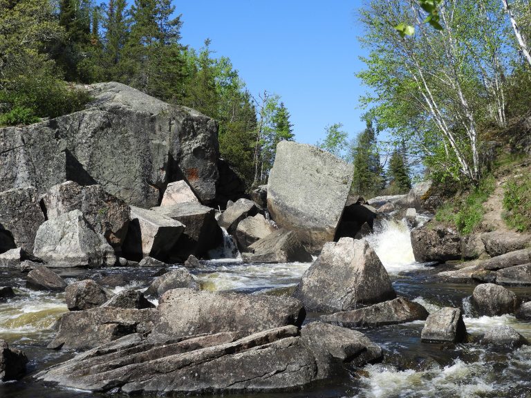
Canoe routes and Shield lakes in eastern Manitoba, recovering from wildfire, with woodland caribou and voyageur waterways.
-
 Woodland Caribou Provincial Park
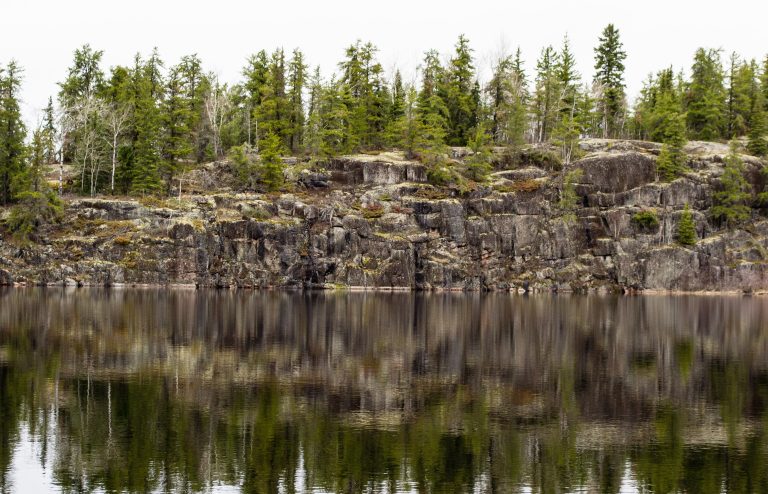
Fewer than 1,000 paddlers a season on 1,240 miles (2,000 km) of canoe routes, in a UNESCO-listed boreal wilderness.
-
 Atikaki Provincial Park
Roadless canoe country on the Manitoba-Ontario border, with ancient pictographs and whitewater on the Bloodvein.
-
 Voyageurs National Park
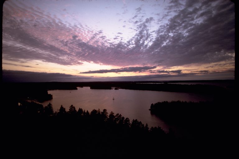
A water-based park on the Canadian border in northern Minnesota: connected lakes and islands for canoe and boat camping.
Straight-line distance between park centres. Road distance is usually longer.
Looking for somewhere closer to home?
See every park and monument within a day’s drive of where you are.