

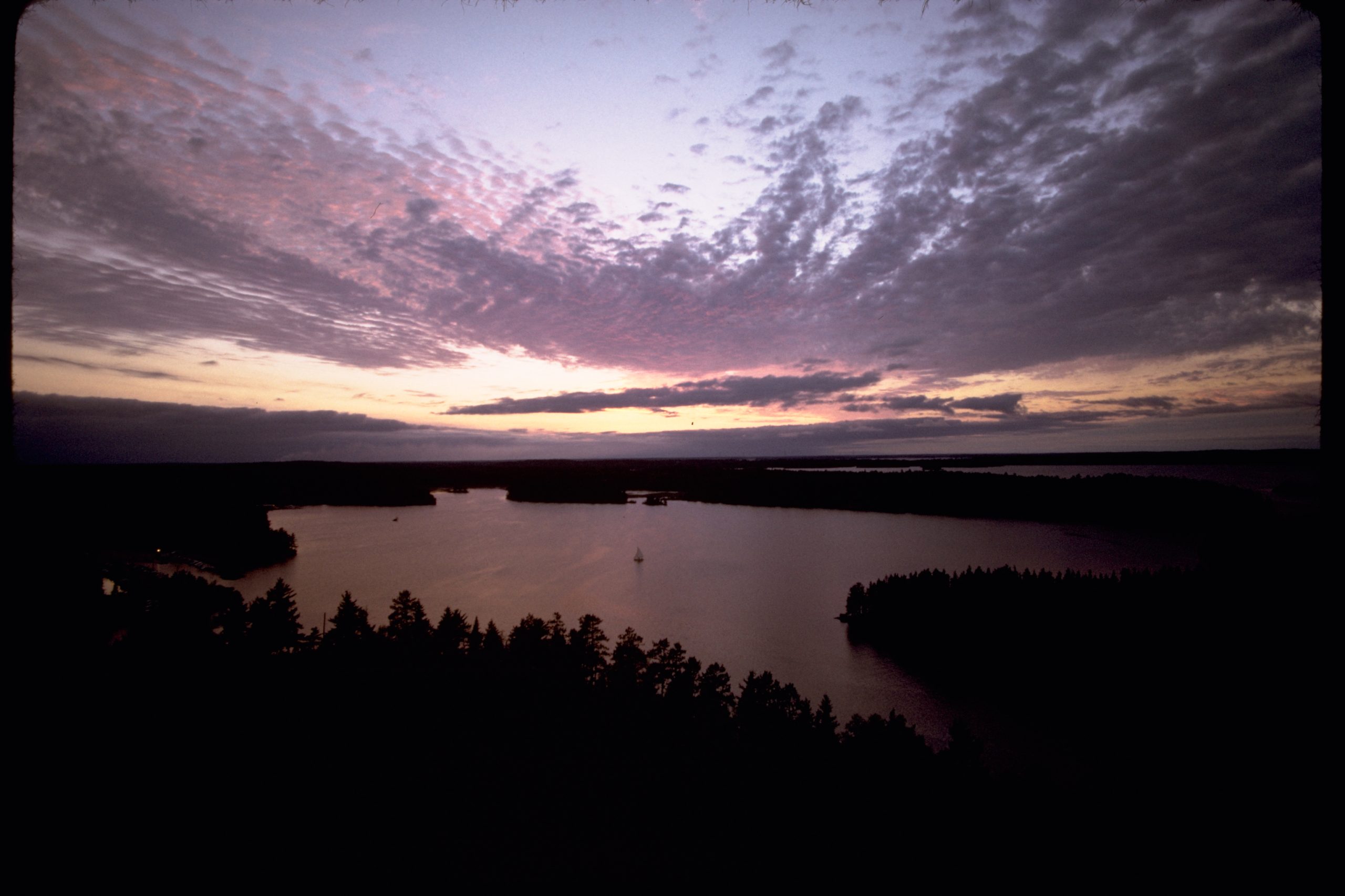
Voyageurs National Park
Voyageurs is a park you explore by boat, a maze of interconnected lakes, islands and channels along the Minnesota–Canada border, named for the French-Canadian fur traders who once paddled these waters. Water covers roughly a third of the park, and the roads simply stop at its edge, handing the interior over to canoes, kayaks and motorboats beneath some of the darkest, most aurora-lit skies in the country.
Fast facts
- Established: 1975
- Size: about 218,000 acres (882 km²), roughly a third of it water
- Named for: the voyageurs, fur-trade canoe travelers of the 1700s–1800s
- Dark sky: a certified International Dark Sky Park, superb for the aurora
- Gateways: International Falls and the Kabetogama, Ash River and Rainy Lake areas, Minnesota
- Managed by: National Park Service
The landscape
The park is built around four large lakes, Rainy, Kabetogama, Namakan and Sand Point, and a web of smaller waters, all stitched together across the ancient rock of the Canadian Shield. Boreal forest of spruce, pine and aspen cloaks the islands and the roadless Kabetogama Peninsula, and the wildlife includes black bears, moose, wolves, beavers, bald eagles and loons whose calls carry across the water.
Best time to go
Summer is the heart of the season, when the lakes are open for paddling, boating and fishing and the campsites are in full use. Fall brings color and quiet before freeze-up. In winter the lakes turn to ice, and the park offers ice roads, snowshoeing, cross-country skiing and outstanding northern-lights viewing on cold, clear nights.
Getting there and around
Visitor centers at Rainy Lake, Kabetogama Lake and Ash River, off US-53 near International Falls, are the gateways, but they mark where the roads end. To reach the park’s heart you need a boat, whether your own, a rental, or a ranger-led tour boat; the interior campsites, trails and the Kabetogama Peninsula are all water-access only.
Things to do
Canoeing and kayaking the sheltered bays, motorboating the big lakes, and fishing for walleye and northern pike are the core of a Voyageurs trip. Boat-in camping, ranger-led tour boats, hiking the peninsula’s trails, and winter travel on the ice all extend the experience, and after dark, the park is one of the best places in the Midwest to watch the aurora.
Staying safe
The big lakes can turn rough and stormy quickly, and the water stays cold, so wear a life jacket, watch the forecast, and carry charts and a means to navigate the confusing maze of islands. This is bear country, so store food properly; ticks and mosquitoes are common in the warm months; and winter travel on ice carries its own serious cold and thin-ice risks.
Know before you go
There is no entrance fee, but every campsite is boat-access and requires a reservation and permit, so plan your water route and book ahead. Arrange a boat or rental before you arrive. This page is a general overview, not a live conditions report; always confirm current water and ice conditions, reservations and closures with the National Park Service before your trip.
- Coordinates
- 48.4656, -92.8171
- Magnetic declination
- 0.8° W (2026)
Set this declination on your compass, then align it to the map's north lines; it is the angle between true north and magnetic north, refreshed each year.
A spread of the park’s main places shows straight away, and the rest appear as you zoom in. You can also search above, or pick any place from the lists below, and the map will go to it.
Getting there 2
Airstrip
Visitor centre
On the trail 76
Trailheads
Campgrounds
Picnic sites
Sights 31
Point of interest
Islands
Map data comes from third-party sources and may be incomplete or out of date, so carry a current official map (terms).
- Best seasons
- Summer (paddling), Winter (ice & aurora)
- Difficulty
- Easy to strenuous
- Access / trailheads
- In far northern Minnesota on the Canadian border; visitor centers at Rainy Lake, Kabetogama and Ash River off US-53. The interior is water-based. Bring or rent a boat.
- Water
- Treat all lake water; the big lakes and interior ponds are the sources.
- Cell / satellite coverage
- Patchy cell service. Carry charts, a compass or GPS and a float plan.
- Nearest ranger / SAR / emergency
- Contact park rangers; life-threatening emergencies: 911.
- Permits & regulations
- No entrance fee; all campsites are boat-access and require a reservation and permit. Much of the park is reachable only by water.
- Leave No Trace
- Camp only at designated sites, pack out all waste, respect wildlife, and follow Leave No Trace.
January
- Below freezing all day
February
- Below freezing all day
March
- Below-freezing nights
April
- Below-freezing nights
May
June
July
August
September This month
October
- Below-freezing nights
November
- Below-freezing nights
December
- Below freezing all day
What to bring depends on your trip: how long you’re out, where you sleep, and how far you go from the road. The planner builds the list for yours.
Plan a trip here →Averages for 1991–2020 from NOAA U.S. Climate Normals, measured at the Kabetogama station, 9 miles (14 km) away at 1,200 feet (366 m).