

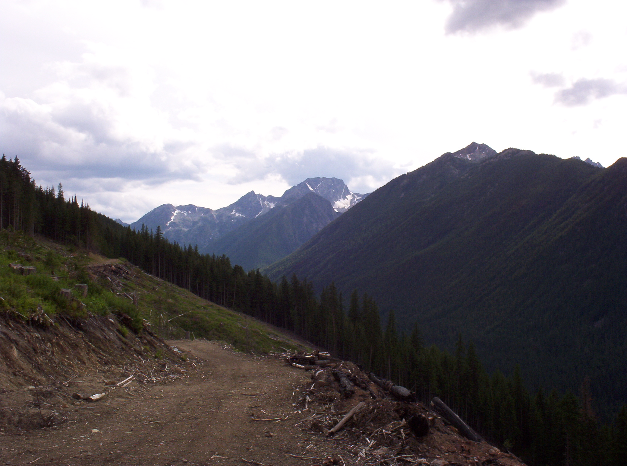
Kokanee Glacier Provincial Park
Fast facts
- Established: 1922
- Size: about 124 square miles (320 km²) of the Selkirk Mountains
- Glaciers: Kokanee and Woodbury, feeding more than 30 lakes
- Trails: about 53 miles (85 km)
- Gateway: Nelson, with access also from Kaslo and Slocan
- Managed by: BC Parks
The landscape
Kokanee Glacier Park covers high country between Kootenay and Slocan lakes. Two glaciers feed a scatter of alpine lakes, including Kokanee Lake, walled by cliffs and rockslides, and Joker, Sapphire and Kaslo lakes. Old mining trails and ruins from the silver rush of the 1890s thread the valleys. Mountain goats, grizzlies, black bears and marmots live in the park.
Best time to go
Higher elevations are rarely snow-free before July, and snow can return in October. Summer brings rain and thunderstorms as well as fine days; snow and sleet are not unusual even in July. From late fall to spring, heavy snow makes this one of the classic ski-touring areas in British Columbia, but avalanches limit travel to certain routes.
Getting there and around
The most popular approach is Kokanee Creek Road from Highway 3A northeast of Nelson, which climbs about 10 miles (16 km) to Gibson Lake. Woodbury Creek and Lemon Creek roads reach other trailheads. All three are rough gravel and change with the season, so check the trail conditions report first. From Gibson Lake, a trail climbs past Kokanee Lake to the Kokanee Glacier Cabin.
Things to do
The hike from Gibson Lake over Kokanee Pass to the cabin and campground is the park’s signature trip. From there, trails lead to more lakes and viewpoints, and experienced mountaineers cross the glaciers to nearby peaks. Anglers fish the lakes for rainbow and cutthroat trout. In winter, ski tourers book the Alpine Club cabins for week-long trips.
Staying safe
BC Parks notes that severe weather can occur in every season here. Carry warm, waterproof clothing, a tent with a good fly and a stove, since campfires are banned. Only experienced mountaineers with ropes, ice axes and crampons should go onto glaciers or snowfields. Avalanches are common on open alpine slopes in winter and spring. Tell someone your plans and return time, and carry a satellite messenger.
Know before you go
Backcountry sites need a reservation or permit, cabins are booked through the Alpine Club of Canada, dogs are not allowed and campfires are banned. This page is a general overview, not a live conditions report, so check the road and trail report and BC Parks advisories before you go.
- Coordinates
- 49.7815, -117.1414
- Magnetic declination
- 14.1° E (2026)
Set this declination on your compass, then align it to the map's north lines; it is the angle between true north and magnetic north, refreshed each year.
How declination works, and how to navigate with a map and compass
A spread of the park’s main places shows straight away, and the rest appear as you zoom in. You can also search above, or pick any place from the lists below, and the map will go to it. Places in bold, marked , have a short description.
Getting there 1
Park entrance
On the trail 3
Campground
Huts and shelters
Sights 56
Waterfall
Lakes
Heritage site
Points of interest
Peaks 30
Map data comes from third-party sources and may be incomplete or out of date, so carry a current official map (terms).
Looking for one of these closer to home?Destinations near me by trip type →
- Best seasons
- Summer (July to September), Winter (ski touring)
- Difficulty
- Moderate to strenuous
- Access / trailheads
- Three gravel roads, not all suited to low-clearance vehicles: Kokanee Creek Road from Highway 3A about 12 miles (19 km) northeast of Nelson to Gibson Lake; Woodbury Creek Road from Highway 31 north of Ainsworth; and Lemon Creek Road from Highway 6 south of Slocan.
- Water
- Lakes and streams; treat all water.
- Cell / satellite coverage
- Little to none. Carry a satellite messenger.
- Nearest ranger / SAR / emergency
- Emergencies: 911 (RCMP coordinate search and rescue).
- Permits & regulations
- Backcountry camping needs a reservation or permit registration. The Kokanee Glacier, Woodbury and Silver Spray cabins are booked through the Alpine Club of Canada. Campfires are not allowed at any time, and dogs are not allowed in the park.
- Leave No Trace
- Use a stove (no campfires), camp in designated sites, keep dogs at home, stay on trail and pack out all waste.
January
- Below-freezing nights
February
- Below-freezing nights
March
- Below-freezing nights
April
May
June
July
August
September
October This month
November
- Below-freezing nights
December
- Below-freezing nights
What to bring depends on your trip: how long you’re out, where you sleep, and how far you go from the road. The planner builds the list for yours.
Plan a trip here →Averages for 1981–2010 from Environment Canada climate normals, measured at the Kaslo station, 13 miles (22 km)22 km (13 miles) away at 1,969 feet (600 m)600 m (1,969 feet). Higher trails run colder, by about 3.5°F for every 1,000 ft (2°C per 300 m)2°C for every 300 m (3.5°F per 1,000 ft) of climb. Daylight runs from sunrise to sunset on the 15th, on the park’s own clock, for a level horizon. Valleys and slopes facing away from the sun are in shade earlier.
Nearby parks
-
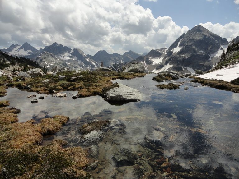 Valhalla Provincial Park
Castellated granite peaks and big alpine lakes above the west shore of Slocan Lake, reached by boat or forestry road.
-
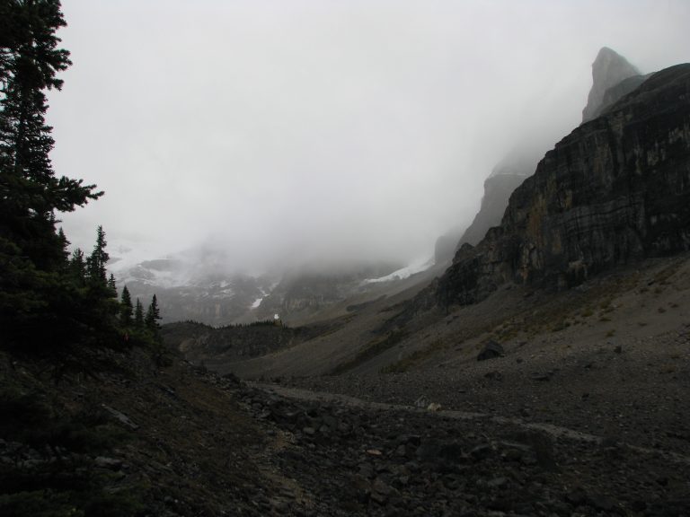 Kootenay National Park
Marble Canyon, the Paint Pots, the Rockwall Trail and the Radium hot springs, along the Banff-Windermere Highway in the BC Rockies.
-
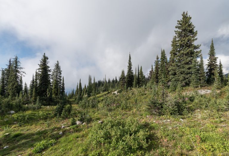 Mount Revelstoke National Park
A paved parkway to a subalpine summit above Revelstoke, BC, with wildflower meadows and lakes on top and inland rainforest below.
-
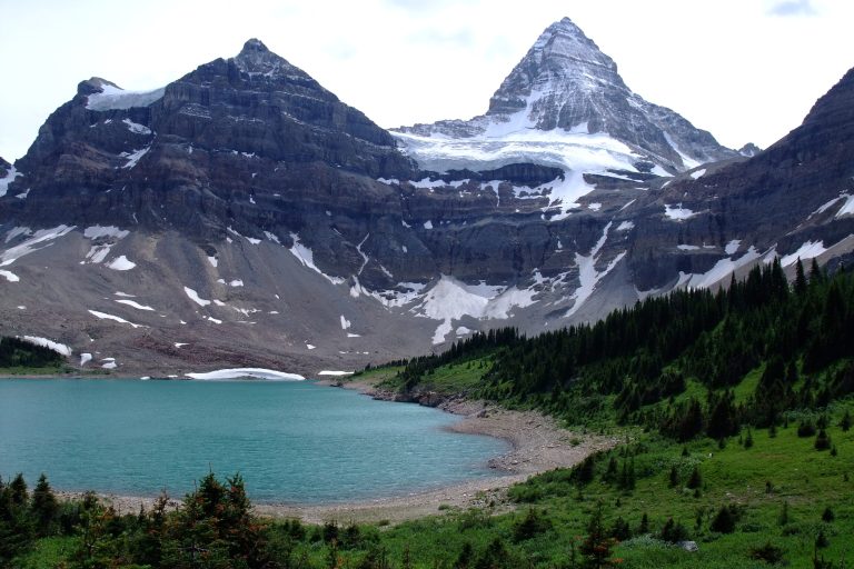 Mount Assiniboine Provincial Park
The Matterhorn of the Rockies above Lake Magog, reached only on foot or by helicopter, between Banff and Kootenay national parks.
Straight-line distance between park centres. Road distance is usually longer.
Looking for somewhere closer to home?
See every park and monument within a day’s drive of where you are.