

Mount Revelstoke National Park
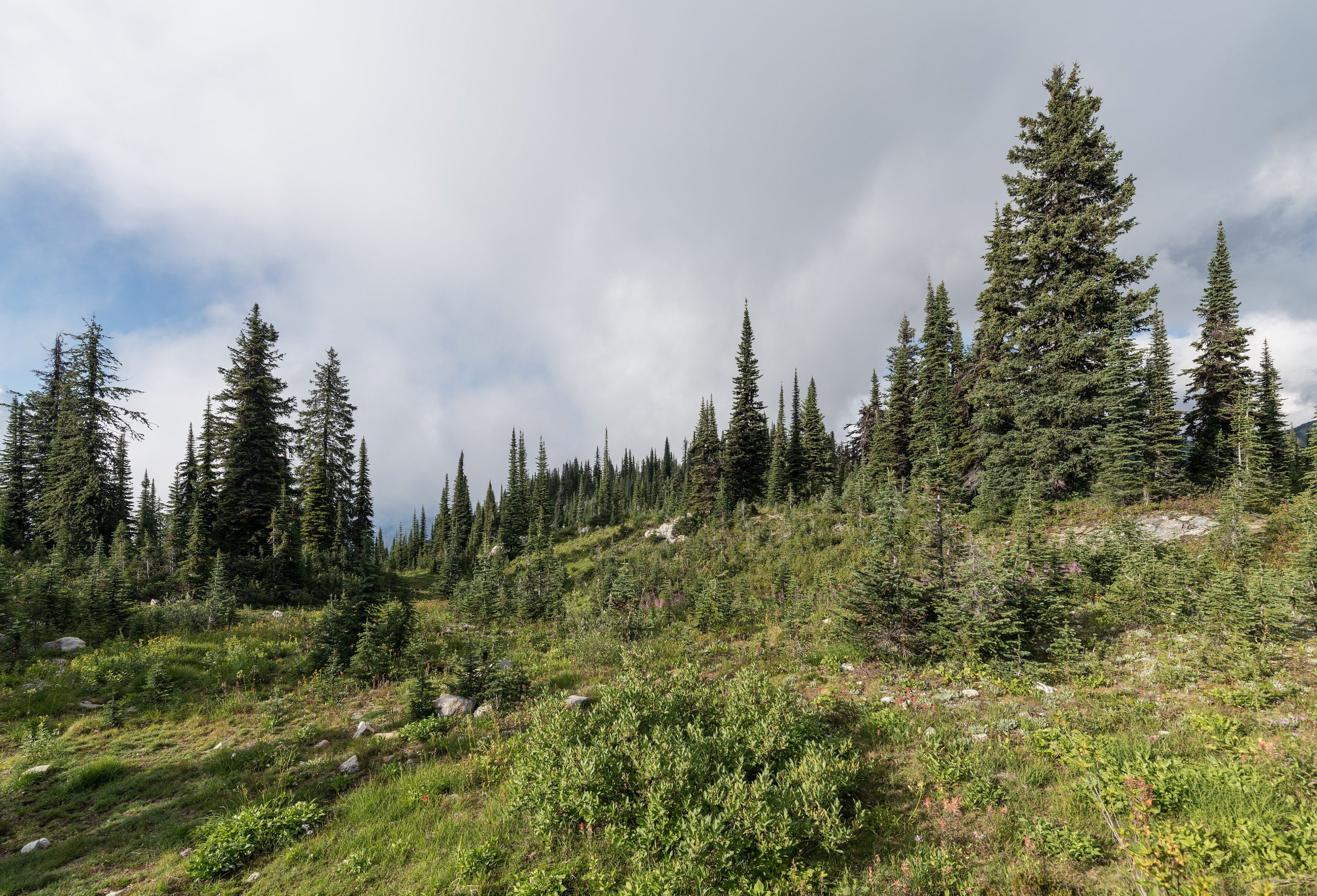
Mount Revelstoke is the rare mountain park you can drive to the top of, a 16-mile (26 km) parkway switchbacks from rainforest valley to flower-filled summit meadows, putting the high country within reach of almost anyone. Small but lush, it protects a slice of the Columbia Mountains where wet interior rainforest gives way to some of the most celebrated subalpine wildflower displays in Canada.
Fast facts
- Established: 1914
- Size: about 100 square miles (260 km²) of the Columbia Mountains
- Signature drive: the Meadows in the Sky Parkway to near the summit
- Highlight: summit subalpine wildflower meadows in late summer
- Gateway: the city of Revelstoke, British Columbia
- Managed by: Parks Canada
The landscape
The park climbs through vivid life zones in a short vertical span: ancient inland rainforest of towering cedar and hemlock at the base, dense subalpine forest on the slopes, and open alpine meadows near the 6,200-foot (1,900 m) summit that erupt with paintbrush, lupine and arnica in the warm weeks of late summer. Grizzly and black bears, mountain caribou and marmots inhabit the range.
Best time to go
Mid-July to mid-September is the star window, when the summit road is fully open and the meadows are in bloom, the display peaks in a short, glorious burst. Late spring is wet and snowy up high; fall brings colour and quiet before the road closes. Winter turns the lower park into a destination for cross-country skiing and snowshoeing.
Getting there and around
The park sits right beside the city of Revelstoke, just off the Trans-Canada Highway. In summer, the Meadows in the Sky Parkway climbs 16 miles (26 km) of switchbacks to a shuttle stop near the summit, from which a short bus or walk reaches the top; there is no vehicle access to the very summit. Valley-bottom trails and boardwalks are reachable directly off the highway.
Things to do
Driving the parkway and wandering the summit meadow trails, Firstview, Eva Lake, Miller Lake and the Meadows loops, is the classic outing. At the base, boardwalk trails like Giant Cedars and Skunk Cabbage showcase the inland rainforest with no climbing at all. Backpackers can camp at Eva and Jade lakes, and winter visitors ski and snowshoe the lower trails.
Staying safe
This is bear country, so carry bear spray, make noise and store food properly. The summit holds snow late and weather can turn cold and wet fast, so bring warm layers and a shell even on a sunny valley morning. Stay on the boardwalks to protect the fragile meadows, and in winter be aware of avalanche terrain off the marked trails.
Know before you go
A Parks Canada pass is required, and the Meadows in the Sky Parkway is seasonal. Check opening dates and any vehicle-size or shuttle rules before you drive up. Backcountry campsites should be reserved. This page is a general overview, not a live conditions report; always confirm current conditions, road status and permits with Parks Canada before your trip.
- Coordinates
- 51.0957, -118.0511
- Magnetic declination
- 14.7° E (2026)
Set this declination on your compass, then align it to the map's north lines; it is the angle between true north and magnetic north, refreshed each year.
A spread of the park’s main places shows straight away, and the rest appear as you zoom in. You can also search above, or pick any place from the lists below, and the map will go to it.
Getting there 1
Park entrance
On the trail 4
Campgrounds
Hut or shelter
Sights 15
Viewpoints
Point of interests
Peaks
Map data comes from third-party sources and may be incomplete or out of date, so carry a current official map (terms).
- Best seasons
- Summer (July to September for the summit meadows)
- Difficulty
- Easy to strenuous
- Access / trailheads
- On the edge of the city of Revelstoke, BC, just off the Trans-Canada Highway (Hwy 1). The Meadows in the Sky Parkway climbs 16 miles (26 km) toward the summit in summer.
- Water
- Streams in the forest and subalpine; filter or treat all backcountry water.
- Cell / satellite coverage
- Good coverage near Revelstoke; patchy to none higher on the mountain and in the backcountry.
- Nearest ranger / SAR / emergency
- Parks Canada dispatch: 1-877-852-3100; life-threatening emergencies: 911.
- Permits & regulations
- A Parks Canada pass is required; the Meadows in the Sky Parkway is seasonal, and backcountry use has designated sites and permits.
- Leave No Trace
- Stay on boardwalks in the fragile meadows, use bear-proof storage, pack out all waste, and follow Leave No Trace.
January
- Below freezing all day
- Avalanche terrain
February
- Below freezing all day
- Avalanche terrain
March
- Below freezing all day
- Avalanche terrain
April
- Below-freezing nights
- Avalanche terrain
May
June
July
August
September This month
October
- Below-freezing nights
- Avalanche terrain
November
- Below freezing all day
- Avalanche terrain
December
- Below freezing all day
- Avalanche terrain
What to bring depends on your trip: how long you’re out, where you sleep, and how far you go from the road. The planner builds the list for yours.
Plan a trip here →Averages for 1981–2010 from Environment Canada climate normals, measured at the Glacier National Park Mount Fidelity station, 25 miles (40 km) away at 6,201 feet (1,890 m). Conditions change with elevation: expect it colder higher up.