

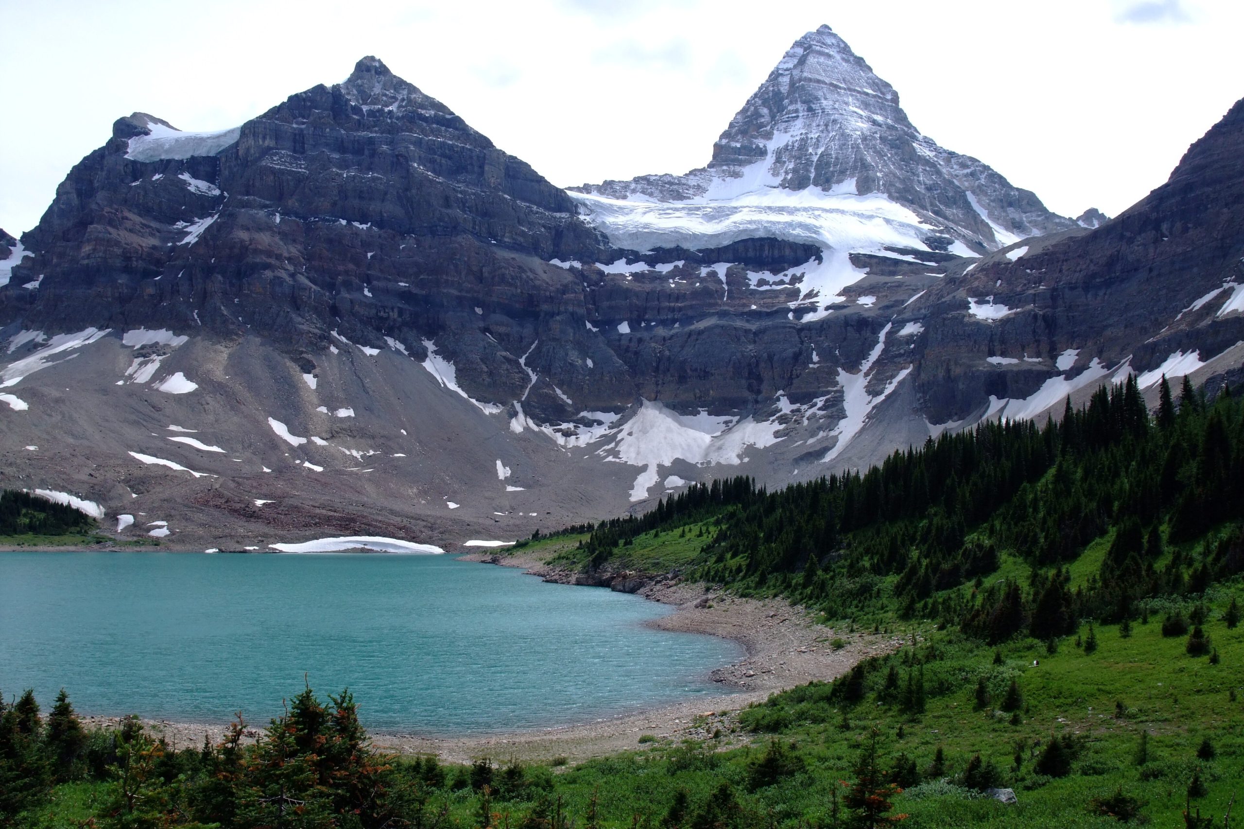
Mount Assiniboine Provincial Park
Fast facts
- Established: 1922
- Size: about 150 square miles (390 km²)
- Highest point: Mount Assiniboine, 11,870 feet (3,618 m), on the Continental Divide
- World Heritage: part of the Canadian Rocky Mountain Parks UNESCO site
- Location: about 30 miles (48 km) southwest of Banff, between Banff and Kootenay national parks
- Managed by: BC Parks
The landscape
Mount Assiniboine’s pyramid-shaped peak rises above a cluster of alpine lakes, meadows and larch forest, a landscape often called the Matterhorn of the Rockies. Lake Magog sits at its foot, with Sunburst, Cerulean and Og lakes nearby. Glaciers hang from the higher peaks. The park has no roads, which keeps the core wild. Grizzly and black bears, elk and mountain goats live here.
Best time to go
The trails are usually clear of snow from July to September. The larches turn gold in the second half of September, the park’s busiest and most photographed time, though early snow is common. In winter, the lodge and huts serve ski tourers, and avalanche safety governs every trip.
Getting there and around
Most hikers walk in from the Mount Shark trailhead in Alberta’s Kananaskis Country, by Bryant Creek and Assiniboine Pass or over Wonder Pass, a long day with heavy packs. Others start from Sunshine Village in Banff and cross Citadel Pass. Assiniboine Lodge runs helicopter flights on set days, and a camping reservation is required to fly in.
Things to do
Backpackers base at Lake Magog and spend days on the Nub, Wonder Pass and the lakes circuit. Climbers attempt Mount Assiniboine and nearby peaks. Anglers fish the open lakes, and many visitors come simply to see the larches. In winter, ski tourers use the huts for tours through the surrounding bowls.
Staying safe
The approach is long, and the core is far from help. Weather at the lakes can change from sun to snow in a day, even in summer. Only experienced climbers, roped and practised in crevasse rescue, should go onto the snowfields and glaciers. Carry bear spray and use the food lockers. In winter, travel with a partner and follow avalanche safety practice. Carry a satellite messenger and leave a trip plan.
Know before you go
Campsites and helicopter flights both need bookings, and the larch weeks sell out. This page is a general overview, not a live conditions report, so confirm reservations, flight schedules and trail conditions with BC Parks and Assiniboine Lodge before you go.
- Coordinates
- 50.9528, -115.7423
- Magnetic declination
- 13.9° E (2026)
Set this declination on your compass, then align it to the map's north lines; it is the angle between true north and magnetic north, refreshed each year.
How declination works, and how to navigate with a map and compass
A spread of the park’s main places shows straight away, and the rest appear as you zoom in. You can also search above, or pick any place from the lists below, and the map will go to it. Places in bold, marked , have a short description.
On the trail 14
Campgrounds
Huts and shelters
Sights 50
Viewpoints
Lakes
Peaks 31
Map data comes from third-party sources and may be incomplete or out of date, so carry a current official map (terms).
Looking for one of these closer to home?Destinations near me by trip type →
- Best seasons
- Summer (July to September), Early fall (larches), Winter (ski touring)
- Difficulty
- Moderate to strenuous
- Access / trailheads
- No roads. Hike in from the Mount Shark trailhead in Alberta via Bryant Creek or Wonder Pass, or from Sunshine Village over Citadel Pass. Helicopter flights from the Canmore area run on set days through Assiniboine Lodge.
- Water
- Streams and lakes; treat all water.
- Cell / satellite coverage
- Little to none. Carry a satellite messenger.
- Nearest ranger / SAR / emergency
- Emergencies: 911 by satellite device. BC Parks Kootenay office: 250-489-8540.
- Permits & regulations
- Camping at Lake Magog and Og Lake needs a reservation, and so does flying in: a valid camping reservation is required to take the helicopter. Huts are booked through Assiniboine Lodge. Rock Isle, Larix and Grizzly lakes are closed to angling.
- Leave No Trace
- Camp only in the designated campgrounds, use the food lockers, stay on trail in the alpine meadows and pack out all waste.
January
- Below freezing all day
- Avalanche terrain
February
- Below freezing all day
- Avalanche terrain
March
- Below-freezing nights
- Avalanche terrain
April
May
June
July
August
September
October This month
November
- Below-freezing nights
- Avalanche terrain
December
- Below freezing all day
- Avalanche terrain
What to bring depends on your trip: how long you’re out, where you sleep, and how far you go from the road. The planner builds the list for yours.
Plan a trip here →Averages for 1981–2010 from Environment Canada climate normals, measured at the Kootenay National Park West Gate station, 27 miles (43 km)43 km (27 miles) away at 3,068 feet (935 m)935 m (3,068 feet). Higher trails run colder, by about 3.5°F for every 1,000 ft (2°C per 300 m)2°C for every 300 m (3.5°F per 1,000 ft) of climb. Daylight runs from sunrise to sunset on the 15th, on the park’s own clock, for a level horizon. Valleys and slopes facing away from the sun are in shade earlier.
Nearby parks
-
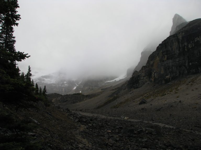 Kootenay National Park
Marble Canyon, the Paint Pots, the Rockwall Trail and the Radium hot springs, along the Banff-Windermere Highway in the BC Rockies.
-
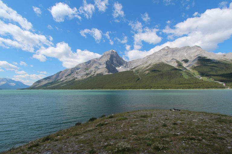 Spray Valley Provincial Park
The wild side of Kananaskis between Canmore and Banff: the Spray Lakes, larch valleys and a key corridor for grizzlies.
-
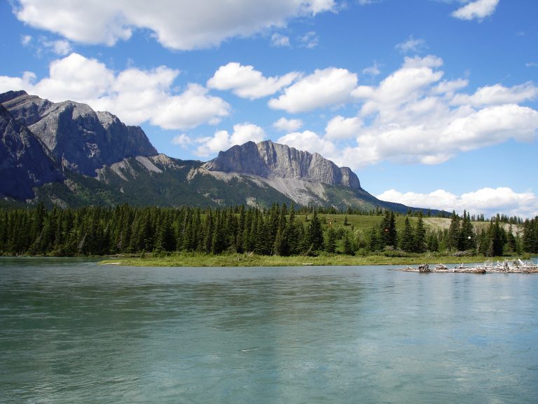 Bow Valley Provincial Park
Alberta's most visited provincial park: easy trails, river campgrounds and Barrier Lake where the Bow River leaves the Rockies, under an hour from Calgary.
-
 Peter Lougheed Provincial Park
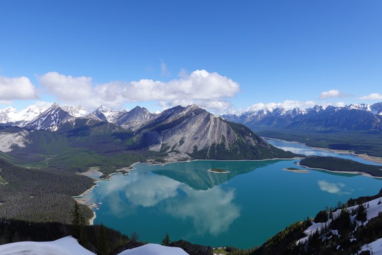
The heart of Kananaskis Country: big lakes under Rockies peaks, larch-filled valleys and grizzly country, a short drive from Calgary.
Straight-line distance between park centres. Road distance is usually longer.
Looking for somewhere closer to home?
See every park and monument within a day’s drive of where you are.