

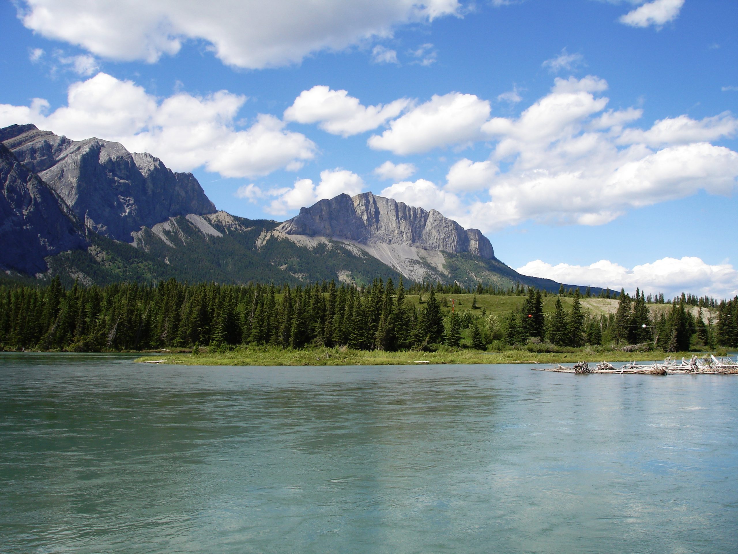
Bow Valley Provincial Park
Fast facts
- Size: about 7,730 acres (31.3 km²), in several separate parcels
- Setting: the Bow River valley at the mouth of the Kananaskis River, where the foothills meet the front ranges
- Camping: about 430 campsites in six campgrounds reached by car, plus a 12-site backcountry campground on Barrier Lake
- Trails: short interpretive loops, a 2.6-mile (4.2 km) paved trail and longer routes above Barrier Lake
- Established: 1959
- Gateway: Canmore and Calgary
- Managed by: Alberta Parks, as part of Kananaskis Country
The landscape
Bow Valley Provincial Park lies where the Bow River comes out of the Rocky Mountains and the Kananaskis River joins it. The oldest part of the park fills the bend of the Bow at that meeting: open meadows, aspen and spruce forest, small spring-fed lakes and gravel ridges left by glaciers, with the grey wall of Mount Yamnuska to the north. This is montane country, a low, dry and sunny valley floor that is uncommon in the Rockies and important winter range for wildlife.
The park is not one block of land. Other parcels line the Trans-Canada Highway west toward Canmore, at Lac des Arcs, Gap Lake, Grotto Mountain and Dead Man’s Flats, and another runs south along Highway 40 to Barrier Lake and the Mount Lorette Ponds. Elk graze the meadows, and black bears, grizzly bears and cougars use the whole valley. Many Springs and Middle Lake are known for wildflowers and birds.
Best time to go
The campgrounds open at the end of April and most stay open until mid-October. Late spring and early summer bring wildflowers to the meadows and wetlands, and July and August are the busiest months, when reservable sites are taken well ahead. September is cooler and quieter, with fall colour in the aspens. The trails and most day-use areas stay open all year: winter visitors snowshoe and ski, and skate on Gap Lake and Lac des Arcs when the ice allows. The road to the Many Springs trailhead is closed to vehicles in winter.
Getting there and around
The park is about 50 miles (80 km) west of Calgary on the Trans-Canada Highway. For the main part of the park, with the Bow Valley and Willow Rock campgrounds and most of the short trails, turn north on Highway 1X about 16 miles (25 km) east of Canmore. Highway 40 leaves the Trans-Canada close by and runs south to Canoe Meadows, the Kananaskis Visitor Information Centre, about 4 miles (7 km) from the junction and open all year, and Barrier Lake. The Bow River, Three Sisters and Lac des Arcs campgrounds are farther west along Highway 1, between 3 and 9 miles (5 and 14 km) from Canmore. You need a car to move between the parcels, and each vehicle needs a Kananaskis Conservation Pass, sold online and at the visitor centre.
Things to do
Most of the trails are short and nearly level. Many Springs is a loop of about a mile (1.6 km) around a spring-fed wetland with a viewing deck. Middle Lake, Montane and Flowing Water are interpretive loops of 0.9 to 1.2 miles (1.5 to 2 km), and the Bow River trail follows the river for 1.3 miles (2.1 km) from the Whitefish day-use area. A 2.6-mile (4.2 km) paved trail serves walkers and cyclists. Heart Creek is a 0.8-mile (1.3 km) walk into a narrow canyon. For a bigger day, the Prairie View trail climbs 4.1 miles (6.6 km) from Barrier Dam to a viewpoint high above Barrier Lake, and can be linked with Jewell Pass.
On the water, the Kananaskis River below Barrier Dam is a whitewater run for kayakers, canoeists and rafters, with a slalom course at Canoe Meadows and another put-in at Widowmaker. Barrier Lake has a hand launch and a beach, and Lac des Arcs, a wide, shallow stretch of the Bow, is popular with windsurfers. Anglers fish the Bow River for trout, as well as Gap Lake and Grotto Pond. The Mount Lorette Ponds are stocked with trout and have a paved, wheelchair-accessible loop of about 0.6 miles (1 km) with accessible fishing spots. Climbers use the cliffs near Barrier Lake and Grotto Mountain.
Top 10 things to do in Bow Valley Provincial Park →
Staying safe
Bears are active through the park, including in the campgrounds, and Alberta Parks posts a warning or closes an area when a bear settles in. Carry bear spray where you can reach it and know how to use it, make noise on the trail, travel in a group, and keep dogs leashed. Store food, garbage, coolers and anything scented in a hard-sided vehicle or a bear-proof locker. Cougars live in the valley too. Give elk plenty of room, most of all cows with calves in late spring and bulls during the fall rut. Report bear and cougar sightings to Kananaskis Emergency Services at 403-591-7755.
The Bow and Kananaskis rivers are cold and fast all year. Flow on the Kananaskis River is controlled by the dam upstream and can rise or drop quickly, so paddlers should check the release schedule and scout before running it. Wind builds quickly on Barrier Lake and Lac des Arcs. Mountain weather changes fast in any season, and snow can fall in the shoulder months. Lake ice varies through the winter, so check it yourself before skating.
Know before you go
Bow Valley is mainly a front-country park: nearly every campsite is reached by car, and the one backcountry campground, Jewell Bay on Barrier Lake, is an easy 2.4 miles (3.9 km) from Barrier Dam. Reservations open 90 days before the arrival date. The park is one of several in Kananaskis Country, and the trails above Barrier Lake lead into neighbouring protected areas with their own rules. This page is a general overview, not a live conditions report, so confirm advisories, bear warnings, fire bans and campground dates with Alberta Parks before you go.
- Coordinates
- 51.0334, -115.1667
- Magnetic declination
- 13.7° E (2026)
Set this declination on your compass, then align it to the map's north lines; it is the angle between true north and magnetic north, refreshed each year.
How declination works, and how to navigate with a map and compass
A spread of the park’s main places shows straight away, and the rest appear as you zoom in. You can also search above, or pick any place from the lists below, and the map will go to it. Places in bold, marked , have a short description.
Getting there 1
Visitor centre
On the trail 29
Routes
Campgrounds
Picnic sites
Sights 16
Viewpoints
Waterfall
Lakes
Beaches
Peak
Map data comes from third-party sources and may be incomplete or out of date, so carry a current official map (terms).
Looking for one of these closer to home?Destinations near me by trip type →
- Best seasons
- Late spring, Summer, Early fall, Winter (snowshoeing and skating)
- Difficulty
- Easy to moderate
- Access / trailheads
- From the Trans-Canada Highway (Highway 1) about 16 miles (25 km) east of Canmore, turn north on Highway 1X for the main campgrounds and trails. Highway 40 leads south to Barrier Lake, and other parts of the park sit beside Highway 1 between there and Canmore.
- Water
- Taps or hand pumps at most campgrounds and some day-use areas; check the campground's page, because not every pump gives drinking water. Treat water taken from lakes, rivers and streams.
- Cell / satellite coverage
- Generally good along the Trans-Canada Highway. Weaker along Highway 40 and on the trails above Barrier Lake.
- Nearest ranger / SAR / emergency
- Emergencies: 911 (Kananaskis Emergency Services). Report wildlife sightings and incidents to 403-591-7755. Kananaskis Visitor Information Centre: 403-678-0760.
- Permits & regulations
- A Kananaskis Conservation Pass is required to park in Kananaskis and the Bow Valley. Five campgrounds take reservations up to 90 days ahead; Three Sisters is first come, first served. The Jewell Bay backcountry campground needs a backcountry permit.
- Leave No Trace
- Keep food, garbage and anything scented in a hard-sided vehicle or a bear-proof locker, keep dogs on a leash, carry bear spray, and pack out all waste.
January
- Below freezing all day
February
- Below-freezing nights
March
- Below-freezing nights
April
- Below-freezing nights
May
June
July
August
September
October This month
- Below-freezing nights
November
- Below-freezing nights
December
- Below freezing all day
What to bring depends on your trip: how long you’re out, where you sleep, and how far you go from the road. The planner builds the list for yours.
Plan a trip here →Averages for 1981–2010 from Environment Canada climate normals, measured at the Kananaskis station, 4 miles (6 km)6 km (4 miles) away at 4,564 feet (1,391 m)1,391 m (4,564 feet). Higher trails run colder, by about 3.5°F for every 1,000 ft (2°C per 300 m)2°C for every 300 m (3.5°F per 1,000 ft) of climb. Daylight runs from sunrise to sunset on the 15th, on the park’s own clock, for a level horizon. Valleys and slopes facing away from the sun are in shade earlier.
Nearby parks
-
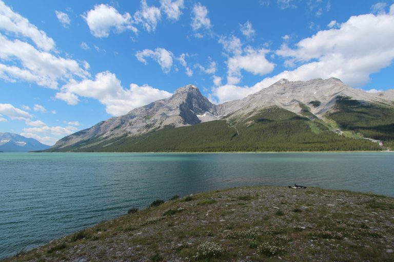 Spray Valley Provincial Park
The wild side of Kananaskis between Canmore and Banff: the Spray Lakes, larch valleys and a key corridor for grizzlies.
-
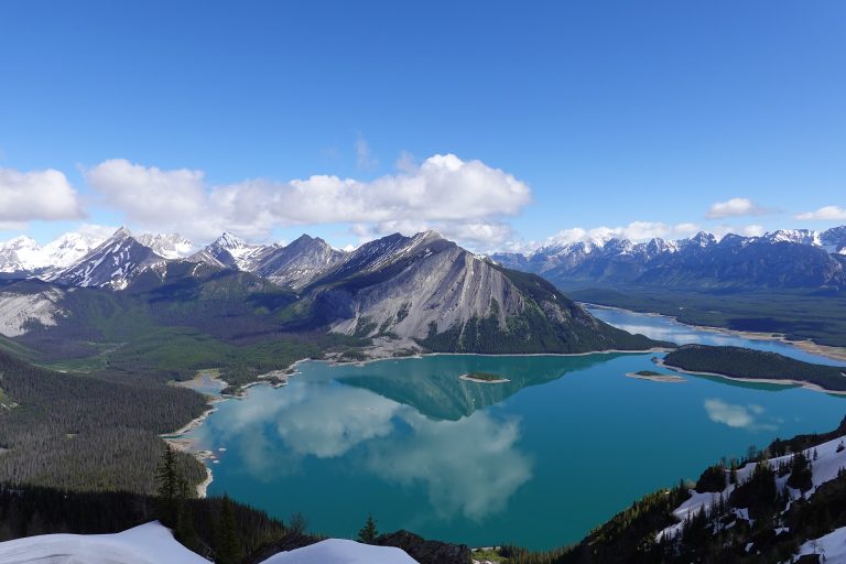 Peter Lougheed Provincial Park
The heart of Kananaskis Country: big lakes under Rockies peaks, larch-filled valleys and grizzly country, a short drive from Calgary.
-
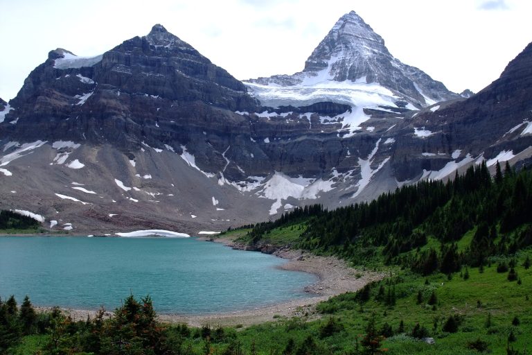 Mount Assiniboine Provincial Park
The Matterhorn of the Rockies above Lake Magog, reached only on foot or by helicopter, between Banff and Kootenay national parks.
-
 Kootenay National Park
Marble Canyon, the Paint Pots, the Rockwall Trail and the Radium hot springs, along the Banff-Windermere Highway in the BC Rockies.
Straight-line distance between park centres. Road distance is usually longer.
Looking for somewhere closer to home?
See every park and monument within a day’s drive of where you are.