

Garibaldi Provincial Park
Fast facts
- Established: reserve in 1920, a Class A provincial park in 1927
- Size: about 750 square miles (1,950 km²) of the Coast Mountains
- Highest point: Wedge Mountain, 9,488 feet (2,892 m); the centrepiece is Mount Garibaldi, 8,786 feet (2,678 m)
- Trails: more than 56 miles (90 km) of established hiking trail
- Gateway: Squamish and Whistler, about 40 miles (64 km) north of Vancouver
- Managed by: BC Parks
The landscape
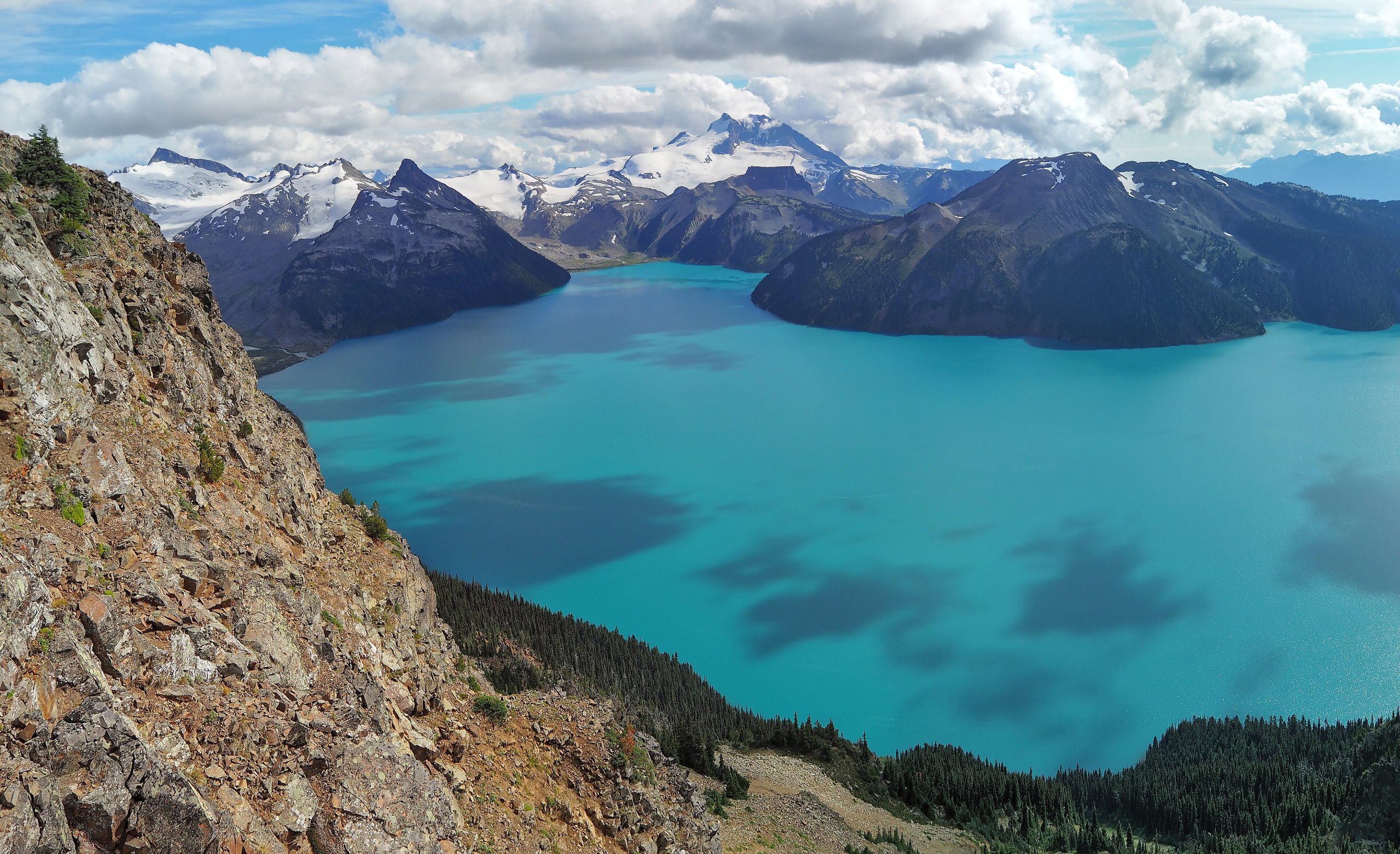
Garibaldi is young volcanic country layered over the granite of the Coast Mountains. Lava flows dammed Garibaldi Lake behind the Barrier, a crumbling wall of volcanic rock above Rubble Creek, and the dark spire of the Black Tusk rises over alpine meadows full of wildflowers in late summer. Glaciers and icefields cap the higher peaks, and the lakes they feed are brilliant turquoise and extremely cold. Black bears are common; grizzlies, mountain goats and marmots live here too.
Best time to go
Most trails hold snow into July, so the hiking season is short: mid-July to late September, with wildflowers peaking in August. Weekends are very busy and campgrounds book out. Fall brings cooler, clearer days and early snow up high. From late fall to spring the park is serious winter terrain, popular with ski tourers at Diamond Head and on the Spearhead Traverse, and avalanche risk governs every trip.
Getting there and around
All access is from Highway 99 between Squamish and Pemberton, where signed roads lead to five trailhead areas. Rubble Creek is the start for Garibaldi Lake and the Black Tusk; Diamond Head leads to the Elfin Lakes; Cheakamus and Singing Pass trails start near Whistler; Wedgemount Lake is reached from north of Whistler. Travel in the park is on foot, with bicycles allowed only on the Elfin Lakes road and the Cheakamus Lake trail.
Things to do
The classic trip is Garibaldi Lake and the Black Tusk, done as a long day or an overnight at the Garibaldi Lake or Taylor Meadows campgrounds. The Elfin Lakes trail leads to a shelter below the volcanic peaks of Diamond Head, and Wedgemount Lake is a short, brutally steep climb to a glacier-rimmed lake. Canoeing is allowed on Garibaldi, Cheakamus and Glacier lakes. Experienced parties take on alpine climbs and, in spring, the Spearhead ski traverse.
Staying safe
BC Parks warns that avalanche and glacier hazards exist year-round; only parties trained in companion rescue and properly equipped should go onto snowfields or glaciers. Mountain weather changes fast, so carry warm layers and rain gear even on sunny summer days. The lakes are cold enough to incapacitate a swimmer quickly. Do not stop or camp in the posted Barrier Civil Defence Zone below Garibaldi Lake. Store food in the caches provided, and leave a trip plan before you go.
Know before you go
Day-use passes are free but required at the busiest trailheads through the summer and early fall, and they are released in advance and run out on busy days. Backcountry campsites must be reserved. This page is a general overview, not a live conditions report, so check BC Parks advisories, pass requirements and the avalanche forecast before you go.
- Coordinates
- 49.9849, -122.7570
- Magnetic declination
- 15.5° E (2026)
Set this declination on your compass, then align it to the map's north lines; it is the angle between true north and magnetic north, refreshed each year.
How declination works, and how to navigate with a map and compass
A spread of the park’s main places shows straight away, and the rest appear as you zoom in. You can also search above, or pick any place from the lists below, and the map will go to it. Places in bold, marked , have a short description.
Getting there 3
Park entrances
Ranger station
On the trail 16
Trailheads
Campgrounds
Huts and shelters
Sights 129
Viewpoints
Waterfalls
Lakes
Points of interest
Island
Peaks 32
Map data comes from third-party sources and may be incomplete or out of date, so carry a current official map (terms).
Looking for one of these closer to home?Destinations near me by trip type →
- Best seasons
- Summer (July to September), Early fall, Winter (ski touring)
- Difficulty
- Moderate to strenuous
- Access / trailheads
- Five trailhead areas off Highway 99 (the Sea to Sky Highway) between Squamish and Pemberton, 1 to 10 miles (2 to 16 km) off the highway: Diamond Head, Rubble Creek, Cheakamus Lake, Singing Pass and Wedgemount Lake. The Whistler and Blackcomb lifts also reach the park.
- Water
- Plentiful from lakes and streams; filter or treat all water.
- Cell / satellite coverage
- Spotty at best beyond the trailheads. Carry a map and a satellite messenger.
- Nearest ranger / SAR / emergency
- Emergencies: 911 (RCMP dispatch local search and rescue teams).
- Permits & regulations
- Free day-use passes are required at the busiest trailheads (Rubble Creek, Diamond Head, Cheakamus) during the summer season. Backcountry camping needs a reservation, and a valid reservation replaces the day-use pass. Camping overnight at the Rubble Creek (Garibaldi Lake) parking lot is prohibited.
- Leave No Trace
- Camp only in designated backcountry campgrounds, stay on trail across fragile alpine meadows, use food caches, and pack out all waste. Drones are prohibited in BC parks without a permit.
January
- Below-freezing nights
February
- Below-freezing nights
March
- Below-freezing nights
April
May
June
July
August
September
October This month
November
- Below-freezing nights
December
- Below freezing all day
What to bring depends on your trip: how long you’re out, where you sleep, and how far you go from the road. The planner builds the list for yours.
Plan a trip here →Averages for 1981–2010 from Environment Canada climate normals, measured at the Whistler station, 13 miles (20 km)20 km (13 miles) away at 2,158 feet (658 m)658 m (2,158 feet). Higher trails run colder, by about 3.5°F for every 1,000 ft (2°C per 300 m)2°C for every 300 m (3.5°F per 1,000 ft) of climb. Daylight runs from sunrise to sunset on the 15th, on the park’s own clock, for a level horizon. Valleys and slopes facing away from the sun are in shade earlier.
Nearby parks
-
 Joffre Lakes Provincial Park
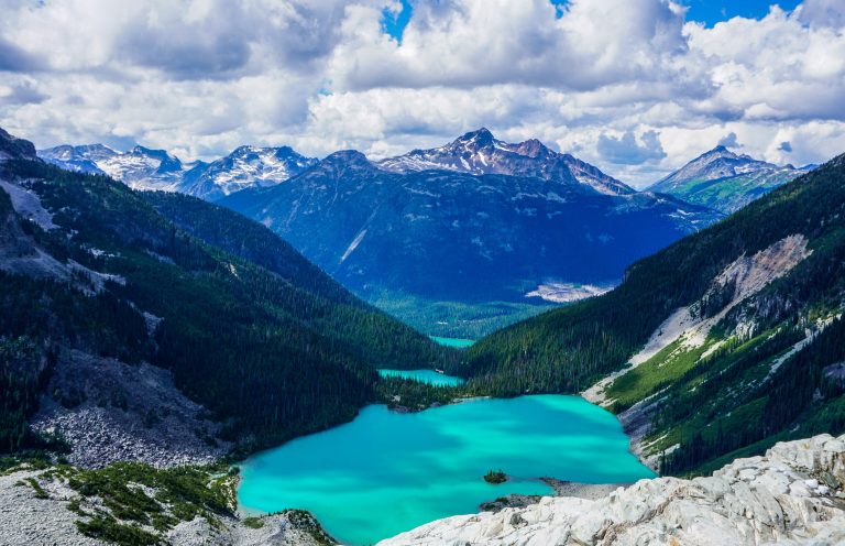
Three turquoise glacier lakes stacked below the Matier Glacier, a short, steep climb from the Duffey Lake Road north of Whistler.
-
 Golden Ears Provincial Park
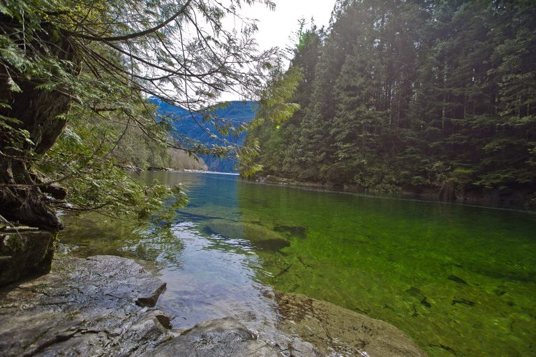
Rugged Coast Mountain peaks and Alouette Lake on the edge of Metro Vancouver, with a summit climb that tests the unprepared.
-
 Gulf Islands National Park Reserve
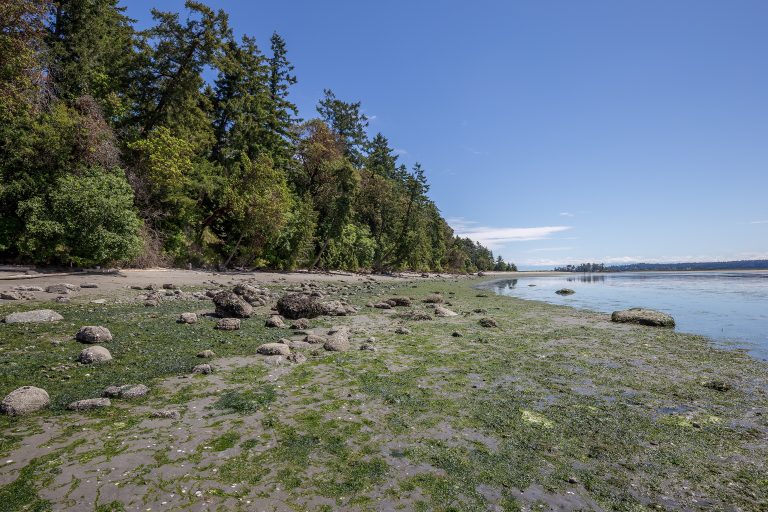
Rocky shores, arbutus and Garry oak on islands in BC's southern Salish Sea, reached by ferry or kayak from Vancouver and Victoria.
-
 San Juan Islands National Monument
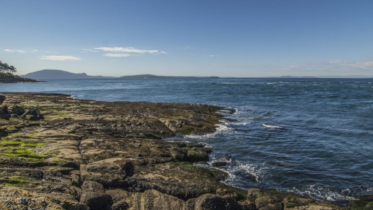
Headlands, meadows and two lighthouses scattered across Washington’s San Juan Islands, a ferry ride from British Columbia.
Straight-line distance between park centres. Road distance is usually longer.
Looking for somewhere closer to home?
See every park and monument within a day’s drive of where you are.