

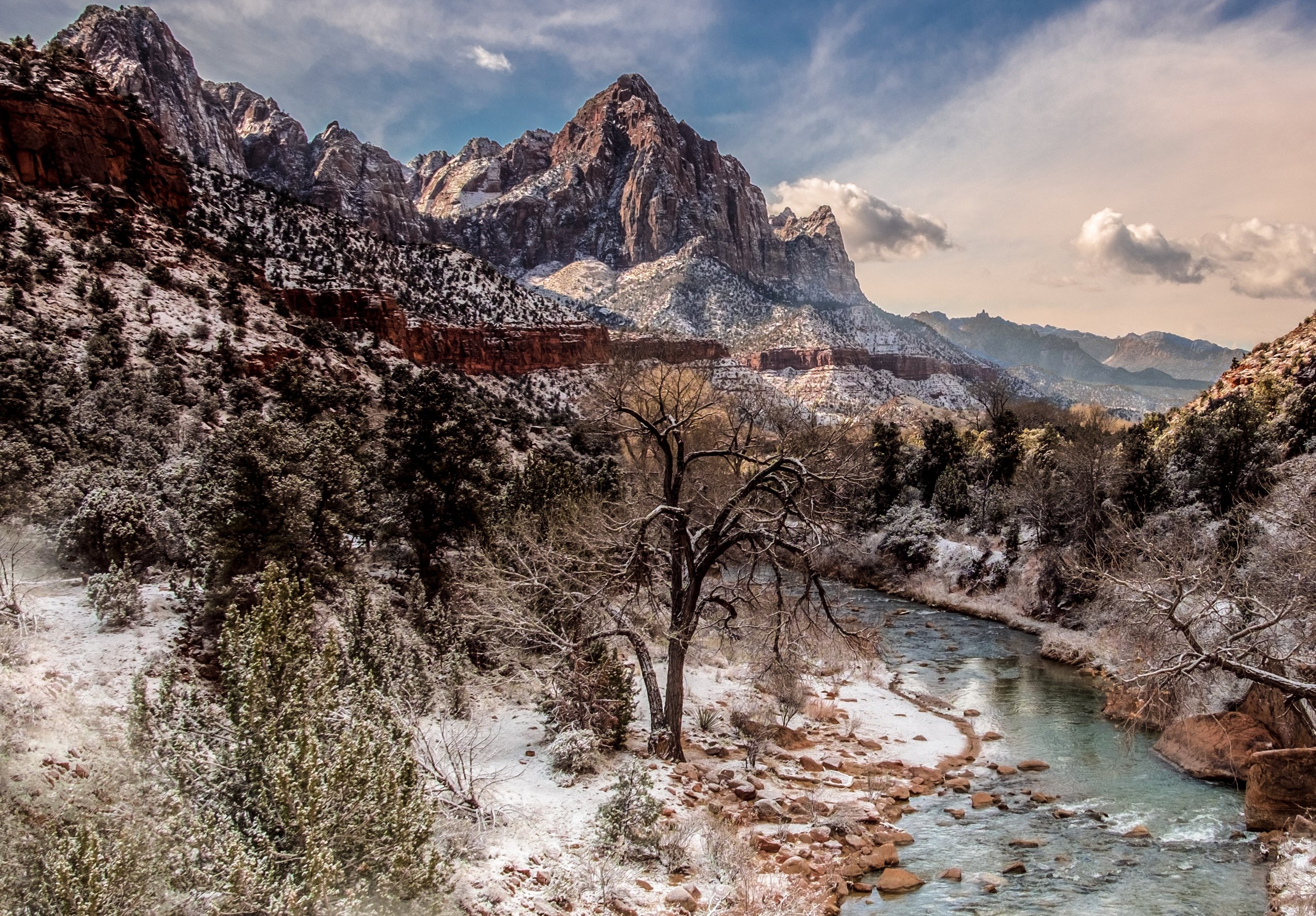
Top 10 things to do in Zion National Park
Zion is a canyon park: most of what people come for lies along 6 miles (10 km) of the Virgin River between sandstone walls 2,000 feet (600 m) high. For most of the year that road is closed to private cars and served by a free shuttle, so a day here is planned around shuttle stops. These are the ten outings we would put first. The order starts with what the park is known for, then goes by what an outing gives back for the time and effort it takes. Distances and climbs are National Park Service figures; times are estimates and do not include stops.
Summer afternoons in the canyon pass 100°F (38°C), and the trails have little shade. Start early, carry more water than you think you need, and check the flash-flood forecast before entering any narrow canyon.
1. Climb Angels Landing
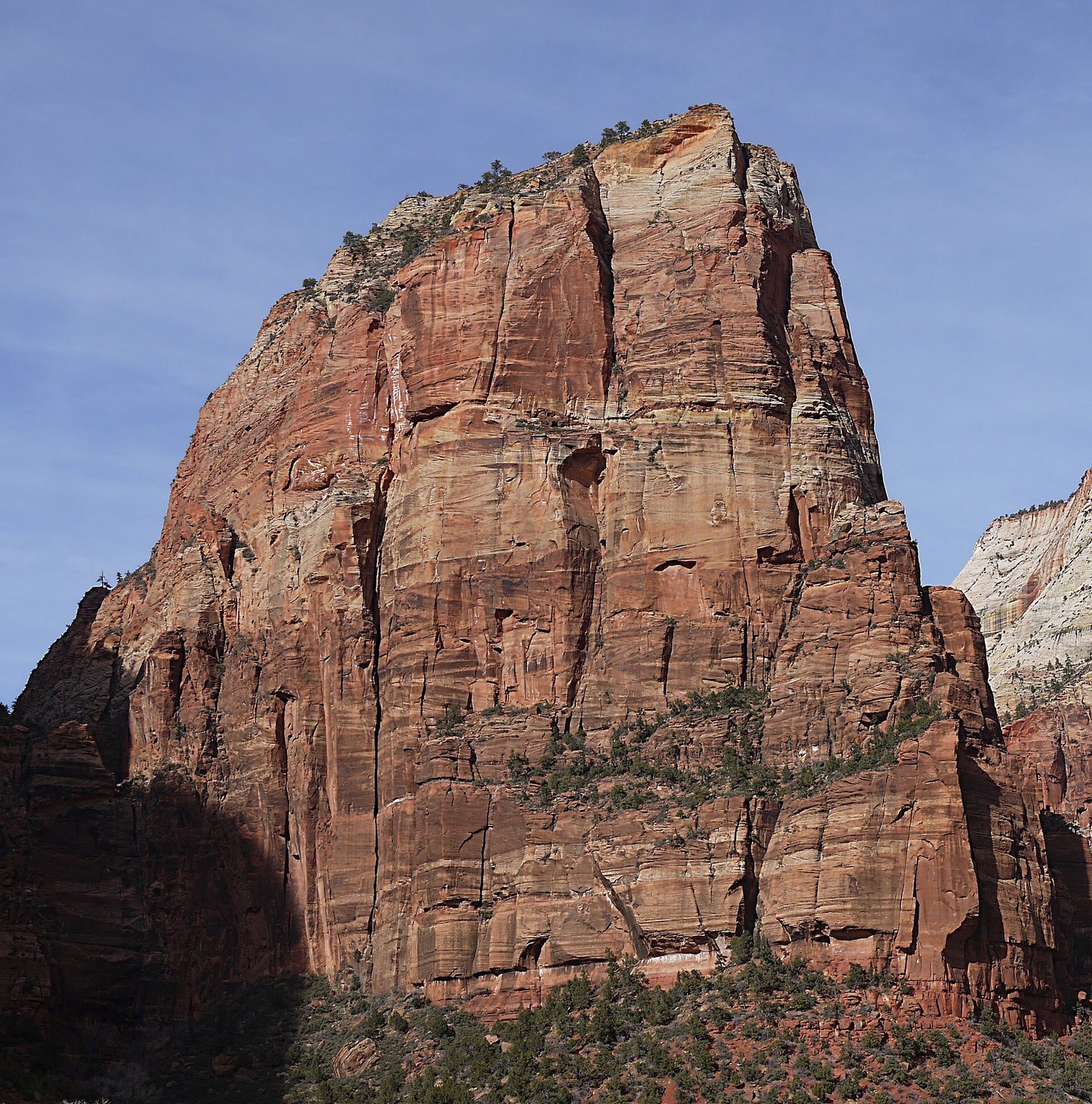
Angels Landing is a narrow fin of rock standing in the middle of the canyon, and the route up it is the best-known hike in the park. The first 2 miles (3.2 km) are a paved, steep trail that ends with the 21 tight switchbacks of Walter’s Wiggles at Scout Lookout. From there the last half-mile (800 m) follows the spine of the fin, with chains bolted to the rock to hold and drops of more than 1,000 feet (300 m) on both sides. People have died falling from it. It is not a route for anyone uneasy with heights, for young children, or for a day with ice, rain or wind.
A permit is required beyond Scout Lookout, issued by lottery: one held months ahead for each season and one held the day before. Without a permit, Scout Lookout is still a worthwhile hike with a view down the canyon.
- Distance: 5.4 miles (8.7 km) round trip
- Climb: 1,488 feet (454 m)
- Allow: 3 to 5 hours
- Start: The Grotto shuttle stop
- When: March to November. Go on the first shuttle to climb in shade.
- Needs: a permit beyond Scout Lookout
- Suits: fit, sure-footed hikers with a head for heights
2. Wade The Narrows
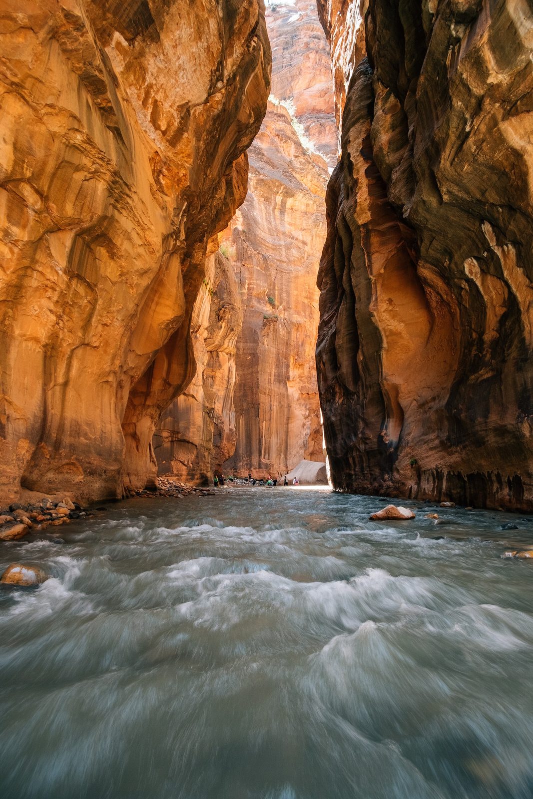
At the top of the canyon the walls close in until the river fills the floor from side to side, and the route is the river itself. You walk upstream in the Virgin, ankle to waist deep, over slick, round rocks, between walls that in places are 20 to 30 feet (6 to 9 m) apart. Day hikers can go as far as Big Springs without a permit and turn around whenever they like, so the outing can last an hour or a full day. The narrowest stretch, known as Wall Street, begins about two hours in.
Wear closed shoes with grip and take a sturdy stick; outfitters in Springdale rent both, along with dry gear for cold water. The Park Service closes the route when the river runs high, usually during spring snowmelt, and whenever a flash-flood warning is issued. A storm miles away can send a flood down the canyon under a clear sky.
- Distance: up to about 10 miles (16 km) round trip to Big Springs
- Allow: 1 to 8 hours
- Start: Temple of Sinawava, the last shuttle stop, then the Riverside Walk
- When: late June to September for warm water; fall for fewer people. Often closed in spring.
- Suits: anyone steady on their feet for the first mile; strong walkers for the full distance
3. Ride the shuttle the length of Zion Canyon
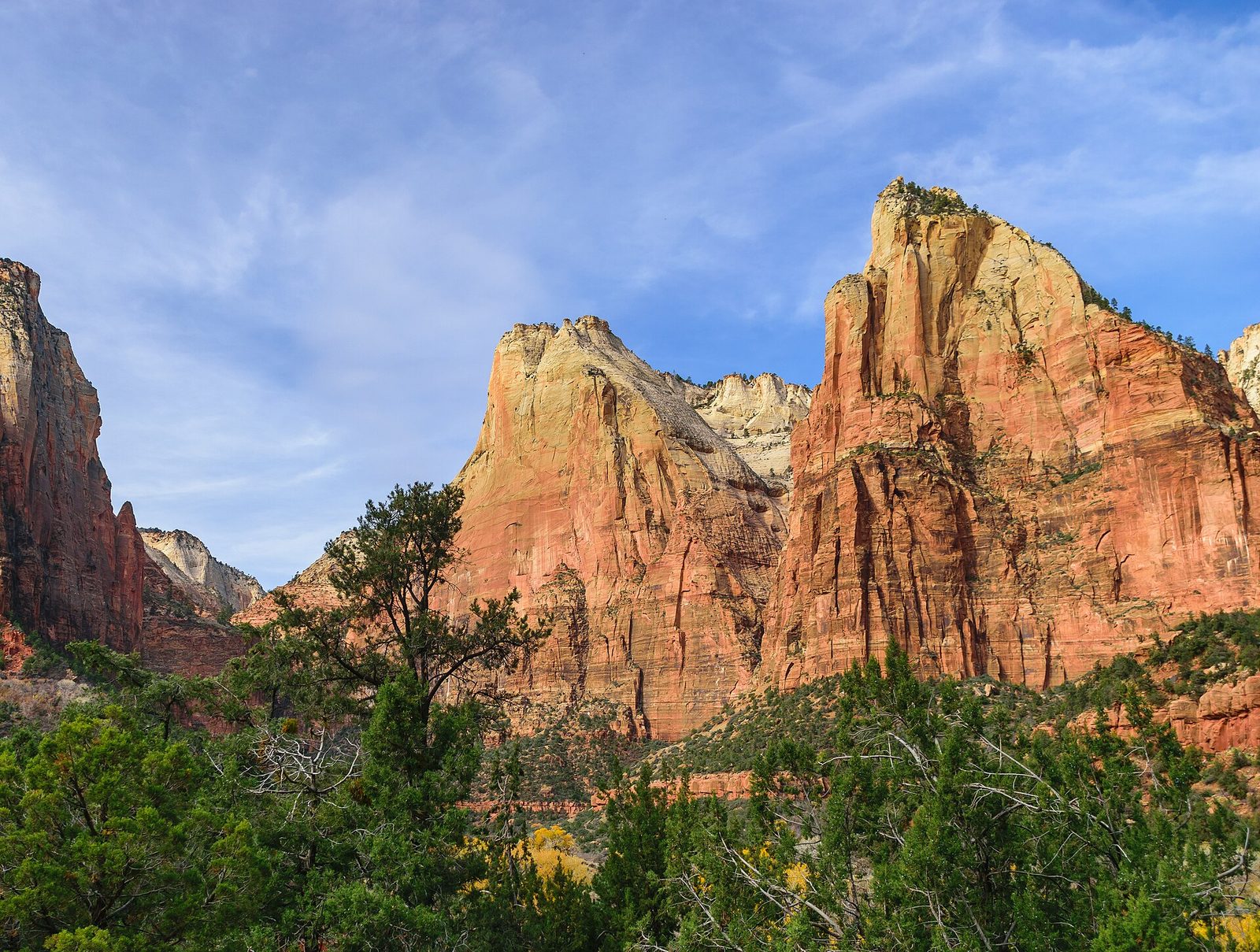
The shuttle is how you get to the trailheads, but riding it end to end is an outing of its own and the right first hour for anyone new to the park. The road follows the river past nine stops. Get off at Court of the Patriarchs for the short path to a view of three sandstone peaks named Abraham, Isaac and Jacob; at Zion Lodge for the lawn under the cottonwoods; and at Big Bend for the Great White Throne, whose main face rises 2,350 feet (716 m) from the canyon floor. The ride ends at the Temple of Sinawava, where the walls close in.
- Distance: about 8 miles (13 km) each way from the visitor center
- Allow: 1.5 hours round trip without stops; half a day with them
- Start: Zion Canyon Visitor Center, near the South Entrance at Springdale
- When: the shuttle runs from about March to November. In winter you can usually drive the road yourself.
- Suits: everyone. The shuttles take wheelchairs.
4. Drive the Zion-Mount Carmel Highway to Canyon Overlook
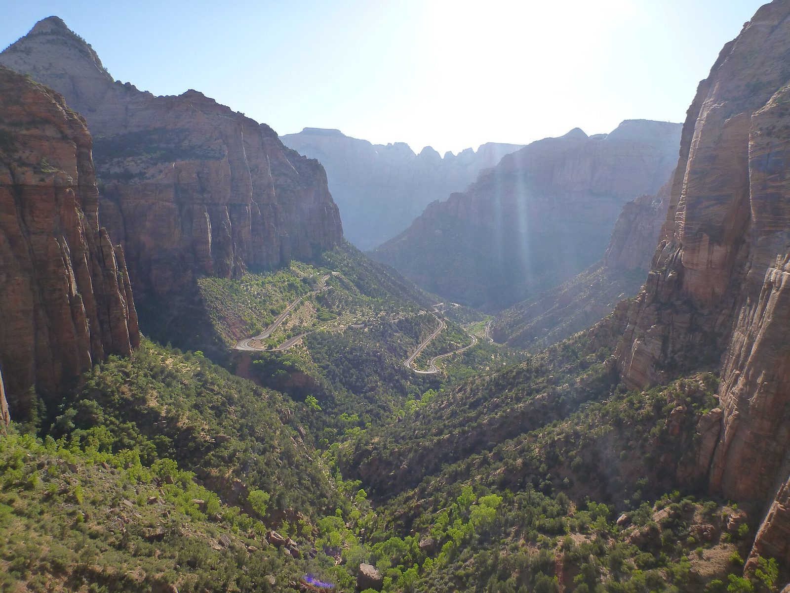
The road to the park’s east side climbs out of the canyon in switchbacks, passes through a tunnel 1.1 miles (1.8 km) long, cut in 1930 with windows through the cliff, and comes out in a different country of pale slickrock. Just past the tunnel’s east end, the Canyon Overlook Trail runs along ledges and under an alcove to a railed viewpoint on top of the Great Arch, looking straight down lower Zion Canyon. For the effort, it is the best view in the park.
Carry on a few miles east to Checkerboard Mesa, scored into a grid by ancient dune bedding and cracks, and watch the slickrock for bighorn sheep. The trailhead has very little parking, and large vehicles are restricted in the tunnel, so check the rules before bringing an RV.
- Distance: 1 mile (1.6 km) round trip on foot; about 10 miles (16 km) of road from Canyon Junction to the East Entrance
- Climb: 163 feet (50 m)
- Allow: 1 hour for the trail; 2 to 3 hours with the drive
- Start: Canyon Overlook Trailhead, at the east end of the tunnel on State Route 9
- When: all year. Early morning or late afternoon for parking and light.
- Suits: most walkers. There are drop-offs, so hold on to children.
5. Stroll the Riverside Walk
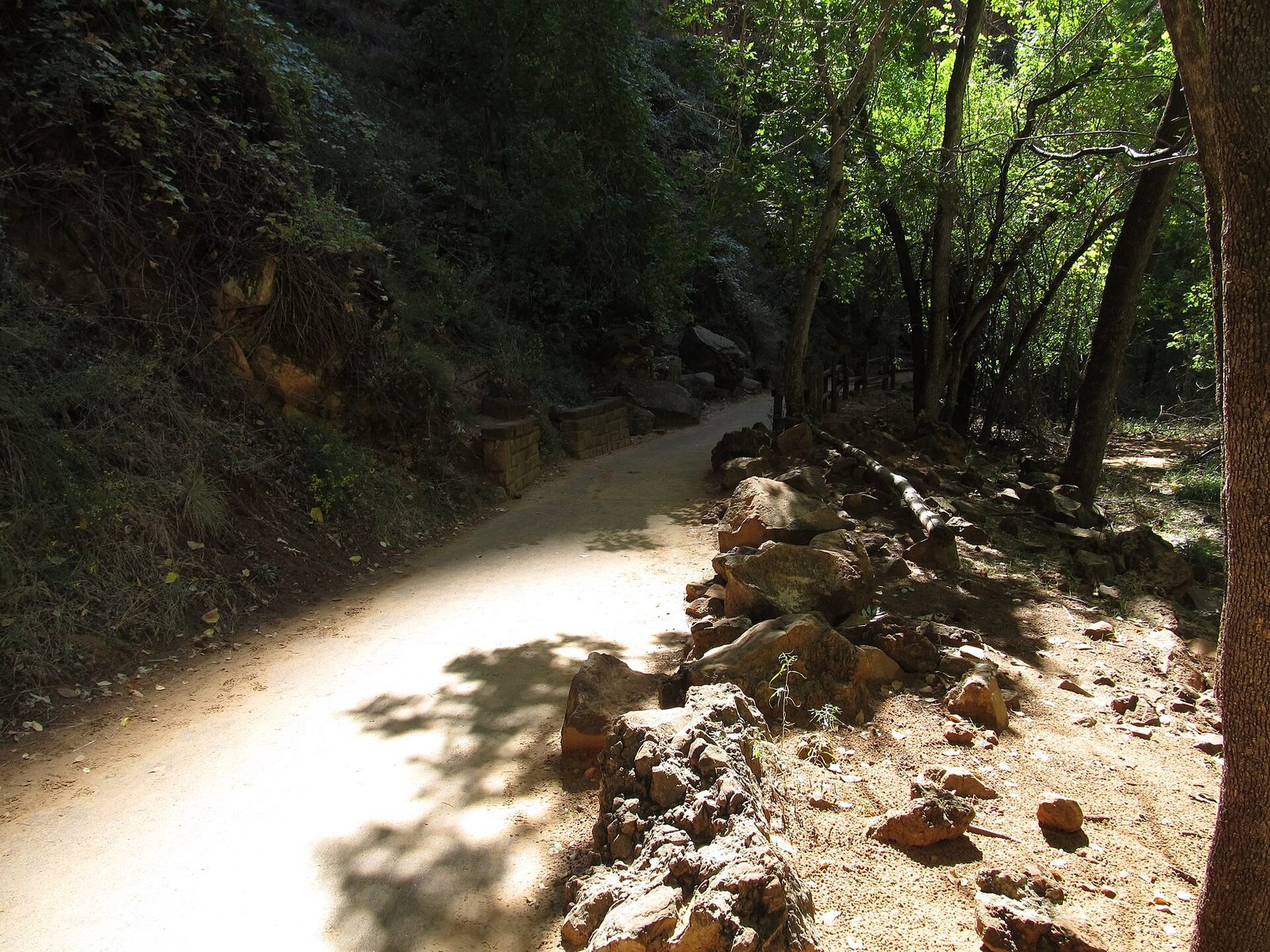
This paved path follows the Virgin River from the last shuttle stop to the point where the canyon floor becomes the river and The Narrows begin. Hanging gardens of ferns and columbine grow where water seeps from the walls, and mule deer and wild turkeys are common beside the path. It is the easiest way to stand inside the narrow part of the canyon, and it stays cool when the rest of the park is hot.
- Distance: 2.2 miles (3.5 km) round trip, nearly level
- Allow: 1 to 1.5 hours
- Start: Temple of Sinawava shuttle stop
- When: all year
- Suits: everyone, including strollers and, with some help on the short grades, wheelchairs
6. Walk to the Emerald Pools
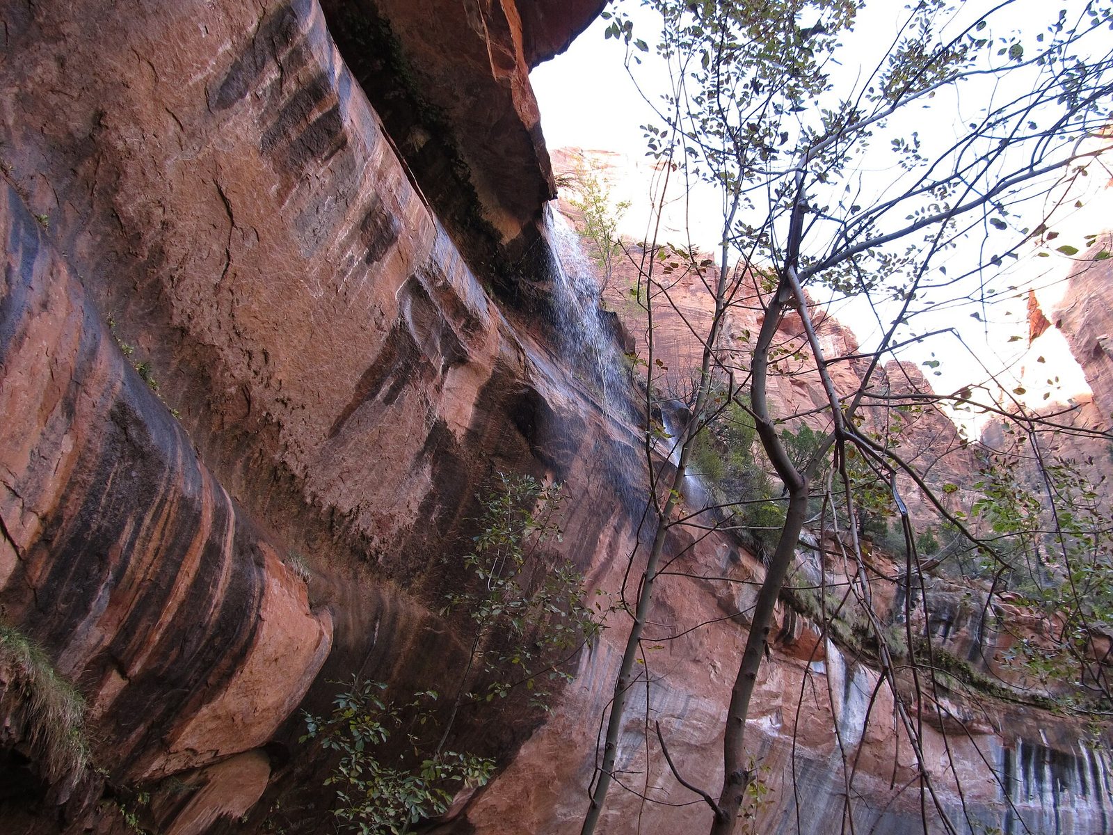
Across the river from Zion Lodge, a wide path leads to the Lower Emerald Pool, where a seasonal waterfall spills over an overhang and the trail passes behind it. Rougher trail climbs from there past the middle pools to the Upper Pool, which sits at the foot of a cliff several hundred feet high. The falls run best in spring and after rain and can shrink to a drip by late summer. The pools are closed to swimming and wading.
- Distance: 1.2 miles (1.9 km) round trip to the Lower Pool; about 3 miles (5 km) round trip to the Upper Pool
- Allow: 1 hour for the Lower Pool; 2 to 3 hours for all of them
- Start: Zion Lodge shuttle stop
- When: all year; spring for water. Ice forms on the trail in winter.
- Suits: families to the Lower Pool; the Upper Pool is steeper, on sand and rock
7. Look down the canyon from Observation Point
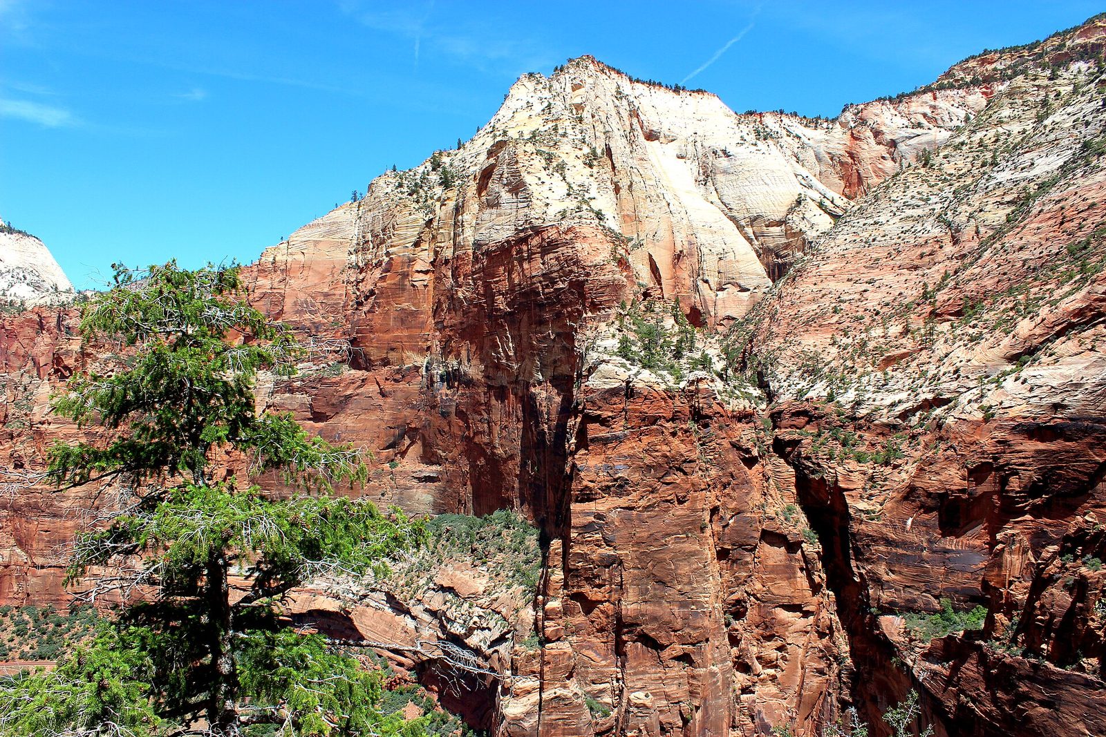
Observation Point stands at about 6,500 feet (1,980 m), higher than Angels Landing, and looks over the top of it and down the whole canyon. The East Mesa Trail reaches it from the plateau behind, across nearly level ground through ponderosa pine, so the view costs far less climbing than any other of its height in the park. The catch is the trailhead: it is outside the canyon, at the end of a dirt road that is rough when dry and impassable when wet. Ask about the road before you go, or use one of the local shuttle services that run to it.
- Distance: 6.8 miles (11 km) round trip
- Climb: about 300 feet (90 m)
- Allow: 3 to 4 hours
- Start: East Mesa Trailhead, reached from the east side of the park
- When: May to October, in dry weather
- Suits: walkers who want the big view without exposure or a permit
8. Climb the Watchman Trail at sunset
The Watchman Trail starts beside the visitor center, so it needs no shuttle, and it is far quieter than the trails up-canyon. It climbs steadily to a bench of rock below the peak, with a loop at the top looking over the Towers of the Virgin, lower Zion Canyon and Springdale. The trail has little shade, which makes it hot at midday and good in the last two hours of light. Carry a headlamp for the way down.
- Distance: 3.3 miles (5.3 km) round trip
- Climb: 368 feet (112 m)
- Allow: 2 hours
- Start: Zion Canyon Visitor Center
- When: all year; early or late in the day from May to September
- Suits: most walkers, and a good choice on an arrival day
9. Spend half a day in Kolob Canyons
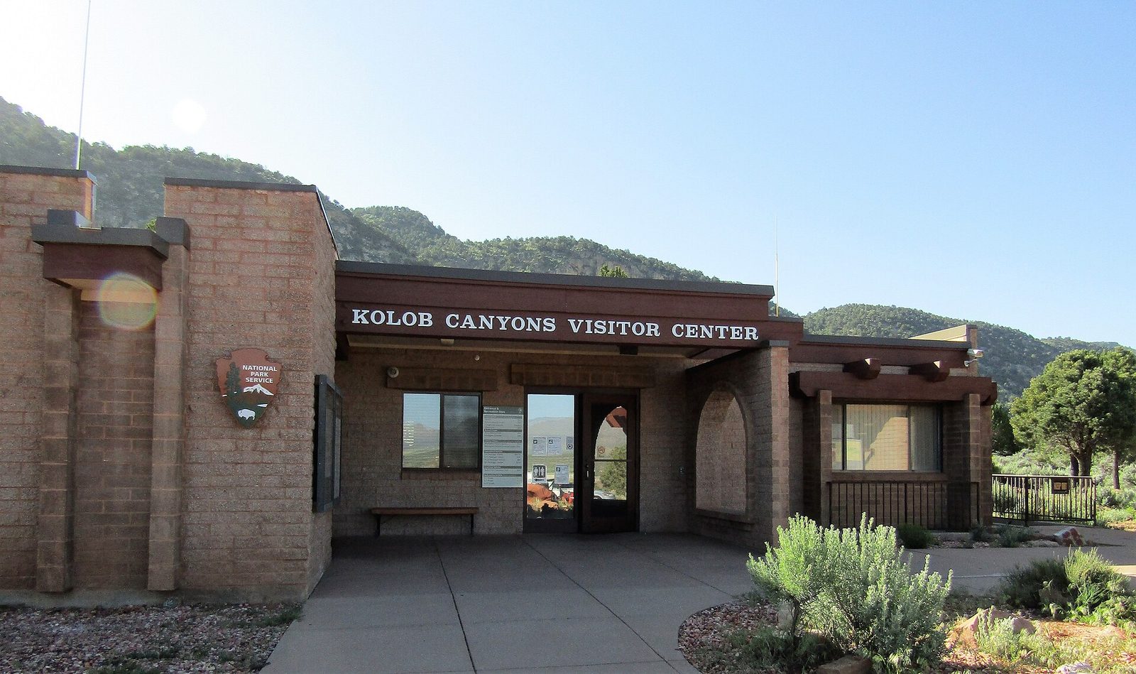
The park’s northwest corner has its own entrance off Interstate 15, 40 miles (64 km) by road from Zion Canyon, and a small share of the visitors. A 5-mile (8 km) road climbs past red finger canyons to a picnic area, where the Timber Creek Overlook Trail runs out along a ridge; on clear days the view reaches Mount Trumbull on the North Rim of the Grand Canyon, about 100 miles (160 km) away. For a longer walk, the Taylor Creek Trail follows a creek between narrowing walls past two old homestead cabins to Double Arch Alcove.
- Distance: 1 mile (1.6 km) round trip to Timber Creek Overlook; 5 miles (8 km) round trip on Taylor Creek, with 450 feet (137 m) of climbing
- Allow: 1.5 hours for the road and overlook; 3.5 hours more for Taylor Creek
- Start: Kolob Canyons Visitor Center, Exit 40 on Interstate 15
- When: April to November. The road can close for snow in winter.
- Suits: anyone who wants red rock without the crowds
10. Hike The Subway from the bottom
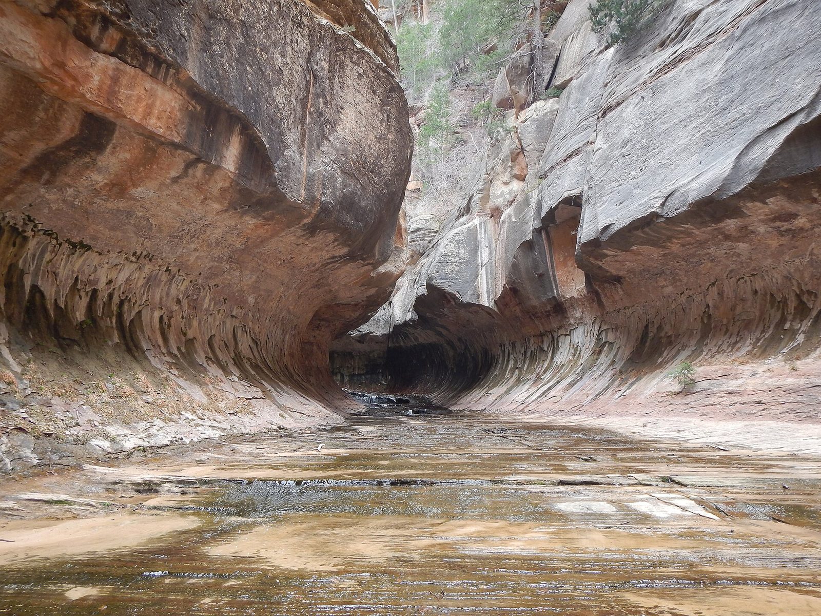
The Subway is a stretch of the Left Fork of North Creek where the stream has carved the canyon into a tube, with emerald pools along its floor. Reaching it from the bottom is a hard, unmarked day: a steep descent to the creek, then miles of wading, boulder scrambling and finding your own way upstream, and the same in reverse. It is the one outing on this list that calls for route-finding skill. Every visit needs a permit, issued by lottery well ahead, with a few released closer to the date.
- Distance: 9 miles (14.5 km) round trip
- Allow: 6 to 10 hours
- Start: Left Fork Trailhead on the Kolob Terrace Road, north of the town of Virgin
- When: May to October, outside flash-flood weather
- Needs: a wilderness permit for every hiker
- Suits: experienced, fit hikers comfortable off trail
Before you go
This list covers what stays the same from year to year. Shuttle dates, permit lottery dates, river closures and flash-flood warnings change, and the National Park Service posts them on its own site. The link is on our Zion National Park guide, with the map, permits and how to get there.