

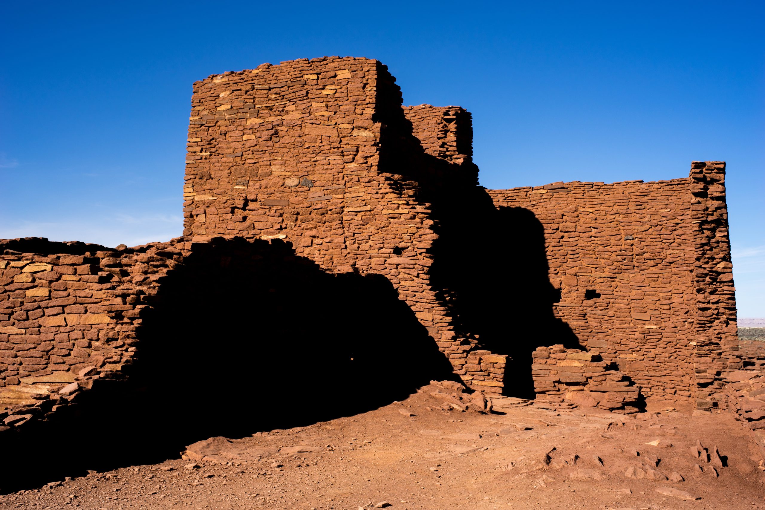
Wupatki National Monument
Wupatki protects the stone pueblos of people who farmed the high desert north of Flagstaff more than 800 years ago, after a nearby volcano erupted. Short paved trails lead to the largest pueblo in northern Arizona and several smaller ones, and rangers lead longer hikes into the backcountry.
Fast facts
- Established: 1924
- Size: about 35,400 acres (143 km²)
- Signature site: Wupatki Pueblo, with around 100 rooms, a ball court and a natural blowhole
- Other pueblos: Wukoki, the Citadel, Nalakihu, Lomaki and Box Canyon
- Gateway: Flagstaff, Arizona
- Managed by: the National Park Service, together with Sunset Crater Volcano
The landscape
The monument lies between the pine forests around Flagstaff and the Painted Desert, in open grassland dotted with red sandstone and black volcanic cinders. After Sunset Crater erupted around 1085, ancestral Pueblo people built villages here in the 1100s, and they became a centre of trade. Pronghorn, coyotes and ravens are common, and the San Francisco Peaks rise on the horizon.
Best time to go
Spring and fall are best. Summer is hot, with highs above 100°F (38°C) and afternoon thunderstorms from July to September. Winter is cool, with occasional snow, and wind is common all year.
Getting there and around
Wupatki is on a 34-mile (55 km) paved loop road, Forest Road 545, which leaves US 89 north of Flagstaff and passes through Sunset Crater Volcano National Monument as well. The visitor center is beside Wupatki Pueblo, and the other pueblos are short drives along the loop.
Things to do
A half-mile (0.8 km) paved trail from the visitor center loops through Wupatki Pueblo, past the ball court and a blowhole where air rushes in and out of cracks in the ground. Short walks lead to Wukoki, a small pueblo on a sandstone outcrop, to the Citadel and Nalakihu on a volcanic hill, and to Lomaki and Box Canyon beside a small canyon.
Most of the monument is closed to off-trail hiking to protect its sites, but rangers lead longer backcountry hikes by reservation, including a strenuous full-day trip to Crack-in-Rock Pueblo and its petroglyphs.
Staying safe
Summer heat is intense on open ground, so carry water and visit early. Thunderstorms bring lightning and sudden wind. Walls are fragile: stay on the trails and never climb on the ruins.
Know before you go
An entrance fee applies and covers Sunset Crater Volcano too (America the Beautiful pass accepted). Off-trail travel is prohibited except on ranger-led hikes. There is no camping in the monument. This page is a general overview, not a live conditions report, so confirm hours and ranger-hike dates with the National Park Service before you go.
- Coordinates
- 35.5648, -111.4036
- Magnetic declination
- 9.7° E (2026)
Set this declination on your compass, then align it to the map's north lines; it is the angle between true north and magnetic north, refreshed each year.
How declination works, and how to navigate with a map and compass
A spread of the park’s main places shows straight away, and the rest appear as you zoom in. You can also search above, or pick any place from the lists below, and the map will go to it. Places in bold, marked , have a short description.
Getting there 3
Park entrances
Visitor centre
On the trail 1
Trailhead
Sights 18
Heritage sites
Peaks
Map data comes from third-party sources and may be incomplete or out of date, so carry a current official map (terms).
Looking for one of these closer to home?Destinations near me by trip type →
- Best seasons
- Spring, Fall
- Difficulty
- Easy (strenuous on ranger-led backcountry hikes)
- Access / trailheads
- The 34-mile (55 km) Sunset Crater-Wupatki loop road (FR 545) off US 89 north of Flagstaff.
- Water
- At the visitor center only.
- Cell / satellite coverage
- Patchy.
- Nearest ranger / SAR / emergency
- Emergencies: 911. Visitor center: 928-679-2365.
- Permits & regulations
- Entrance fee, shared with Sunset Crater Volcano (America the Beautiful pass accepted). Off-trail travel only on ranger-led hikes by reservation.
- Leave No Trace
- Stay on trails, never touch or climb on walls, leave pottery and artifacts in place, and pack out all waste.
January
- Below-freezing nights
February
- Below-freezing nights
March
April
May
June
- Hot days
- Day-to-night swing of 30°F (17°C)Day-to-night swing of 17°C (30°F)
July
- Hot days
August
- Hot days
September
October This month
November
December
- Below-freezing nights
What to bring depends on your trip: how long you’re out, where you sleep, and how far you go from the road. The planner builds the list for yours.
Plan a trip here →Averages for 1991–2020 from NOAA U.S. Climate Normals, measured at the Wupatki National Monument station, 4 miles (6 km)6 km (4 miles) away at 4,908 feet (1,496 m)1,496 m (4,908 feet). Higher trails run colder, by about 3.5°F for every 1,000 ft (2°C per 300 m)2°C for every 300 m (3.5°F per 1,000 ft) of climb. Daylight runs from sunrise to sunset on the 15th, on the park’s own clock, for a level horizon. Valleys and slopes facing away from the sun are in shade earlier.
Nearby parks
-
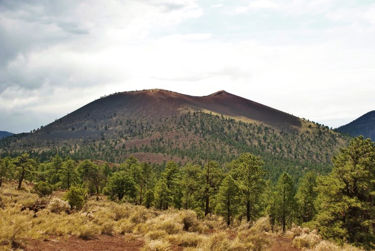 Sunset Crater Volcano National Monument
Arizona’s youngest volcano, a thousand-year-old cinder cone north of Flagstaff, with easy lava-flow trails and a loop drive to Wupatki.
-
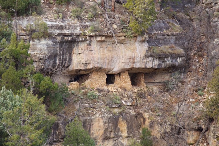 Walnut Canyon National Monument
Sinagua cliff dwellings on limestone ledges just east of Flagstaff, circled by a stepped loop of 1 mile (1.6 km).
-
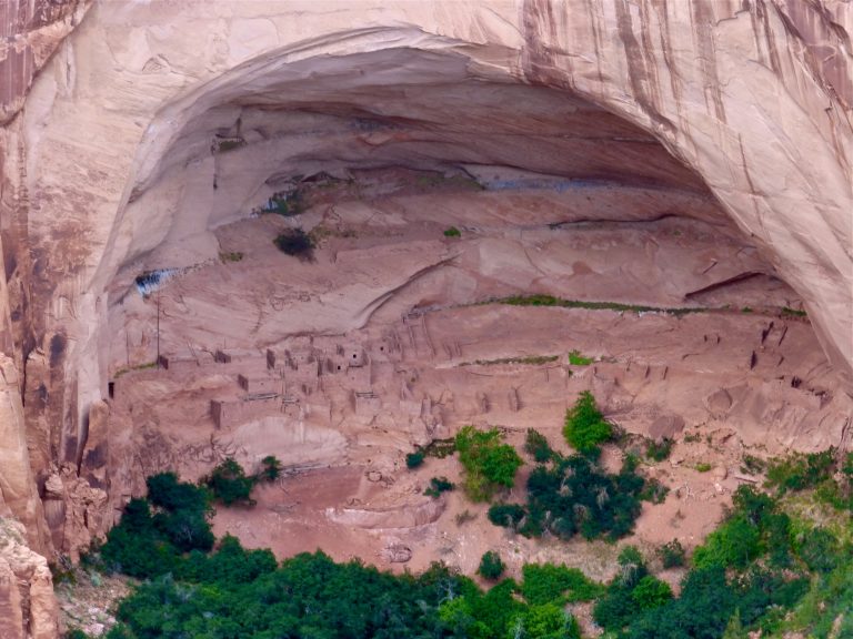 Navajo National Monument
The cliff villages of Betatakin and Keet Seel in Tsegi Canyon, with an easy overlook trail and a 17-mile (27 km) permit hike.
-
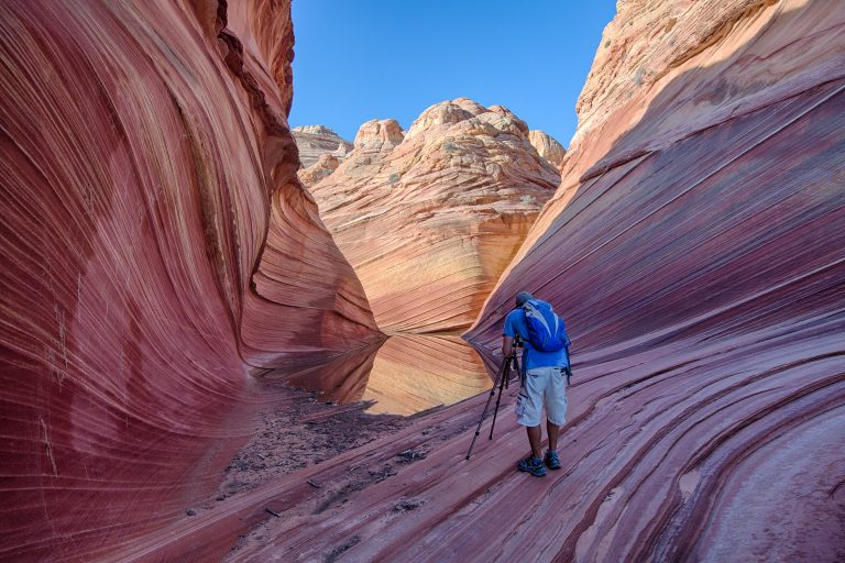 Vermilion Cliffs National Monument
The Wave, Coyote Buttes and the Paria Canyon backpacking route in northern Arizona, with condors on the cliffs above.
Straight-line distance between park centres. Road distance is usually longer.
Looking for somewhere closer to home?
See every park and monument within a day’s drive of where you are.