

Top 9 things to do in Wrangell–St. Elias National Park
Wrangell–St. Elias National Park and Preserve, in southeast Alaska on the Canadian border, is the largest national park in the United States: 13.2 million acres (53,000 km²), larger than Switzerland. Four great mountain ranges meet here, holding many of the highest peaks in North America, some of its largest glaciers, and volcanoes, wild rivers and tundra. Only two gravel roads reach into it, so most visitors come to one place: the old copper-mining town of Kennecott, at the end of the McCarthy Road, beneath the mountains and beside the glaciers. These are the nine outings we would put first. The order starts with what the park is known for, then goes by what an outing gives back for the time and effort it takes. Distances are approximate; times are our estimates and do not include stops.
This is remote, rugged country, with few services: carry what you need, and expect rain, cold and wind at any time of year. Glaciers are dangerous to walk on without crampons and experience, and their surfaces are cut by crevasses and fast meltwater streams, so go with a guide. Brown and black bears live throughout the park: carry bear spray and make noise. The gravel roads are slow and rough, with sharp rocks that cause flat tyres, so carry a full-size spare.
1. Tour the Kennecott mill town
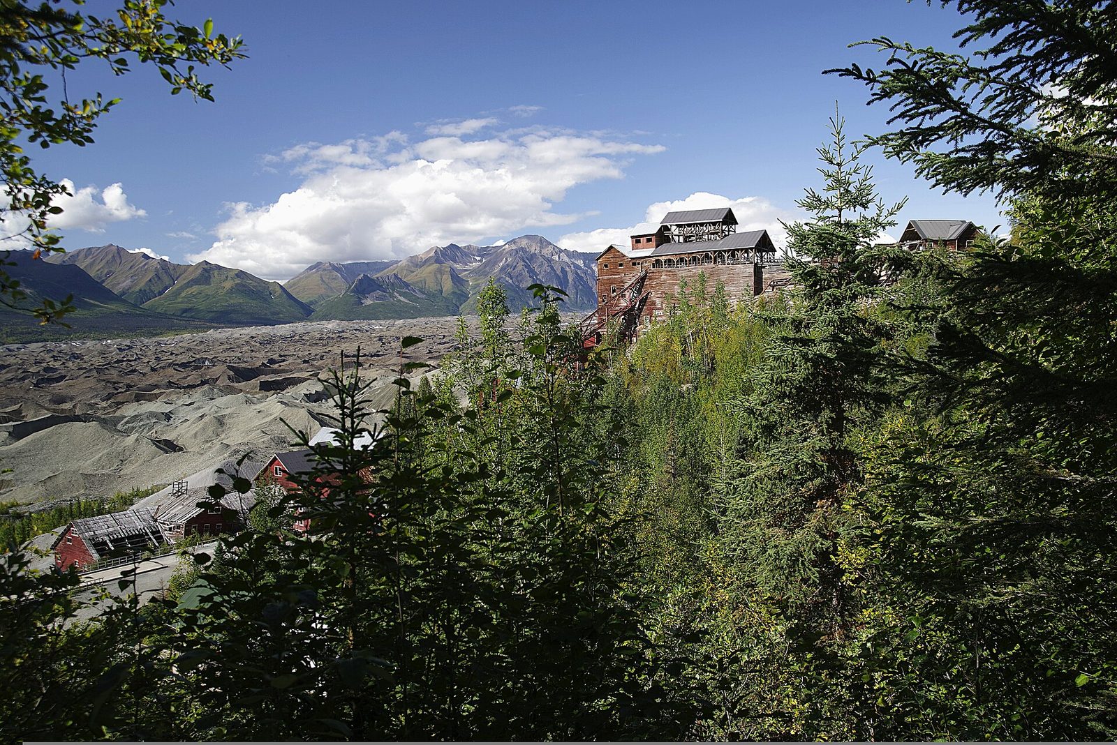
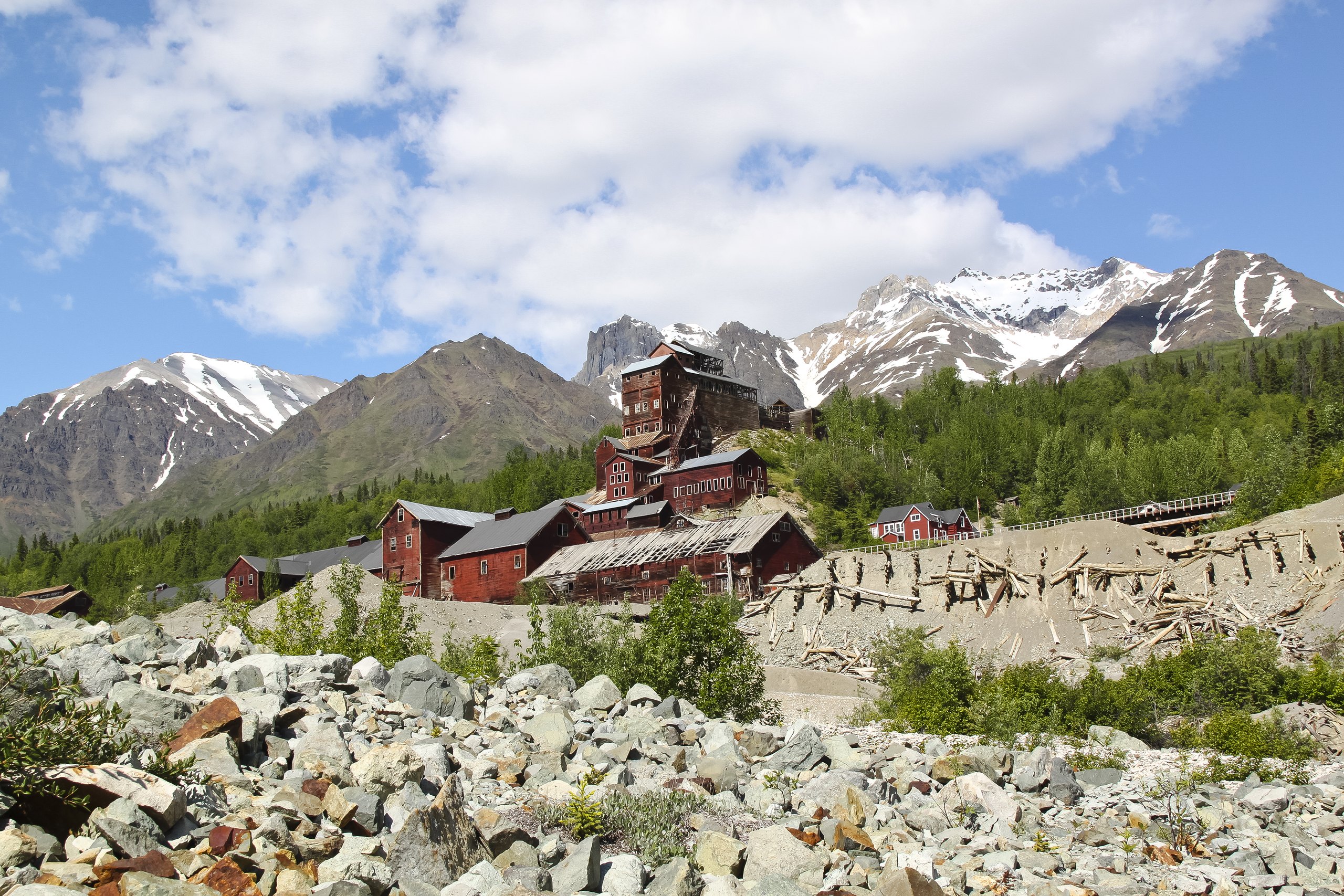
From 1911 to 1938, Kennecott was one of the richest copper mines in the world, and the red-painted mill town it built still stands beside the Kennicott Glacier: the 14-storey concentration mill climbing the hillside, the power plant, bunkhouses, a hospital and a school. Guided tours lead you inside the mill, past the machinery left as it was when the mine closed, and the park’s visitor centre has exhibits on the town’s life. It is one of the finest mining ghost towns in North America.
- Allow: half a day, with a guided tour of the mill
- Start: Kennecott Visitor Center, by shuttle from the footbridge near McCarthy
- When: June to early September
- Suits: everyone; the mill tour climbs many stairs
2. Walk on the Root Glacier
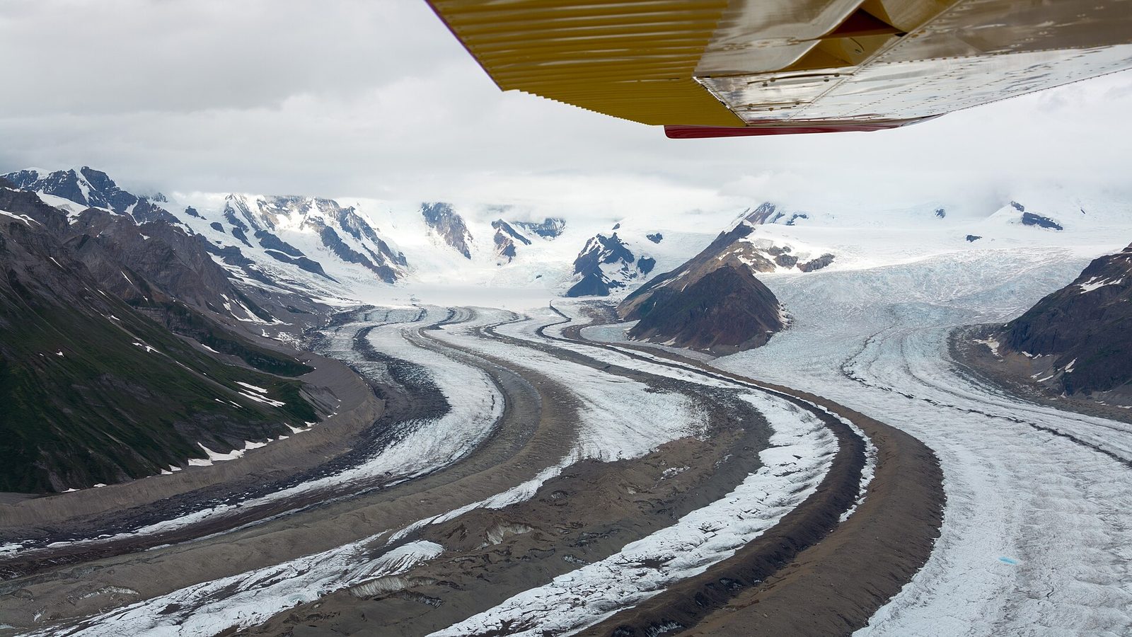
From Kennecott, a trail follows the edge of the rubble-covered Kennicott Glacier to the clean white ice of the Root Glacier, past the ruins of the old mine buildings and with the cliff-hung Erie Mine high above. Guided groups strap on crampons and walk out onto the ice, among blue meltwater pools, deep moulins and ridges of ice, with the peaks of the Wrangell Mountains all around. It is one of the easiest glaciers in Alaska to walk on.
- Distance: about 4 miles (6.4 km) round trip to the edge of the ice
- Allow: half a day with a guided ice walk
- Start: Kennecott
- When: June to early September
- Suits: everyone on the trail; the ice is for those with a guide and crampons
3. Hike up to the Bonanza Mine
High above Kennecott, near the top of Bonanza Ridge, are the ruins of the Bonanza Mine, where miners lived and worked through the winters at the top of an aerial tramway that carried the ore down to the mill. The trail climbs steeply up an old mining road, through forest and then alpine tundra, to the ruined buildings, with an enormous view over the Kennicott and Root glaciers and the peaks beyond. It is a hard climb, but one of the great day hikes in Alaska.
- Distance: about 9 miles (14.5 km) round trip
- Climb: about 3,800 feet (1,160 m)
- Allow: 6 to 8 hours
- Start: Kennecott
- When: July to early September
- Suits: fit hikers
4. Drive the McCarthy Road and visit McCarthy
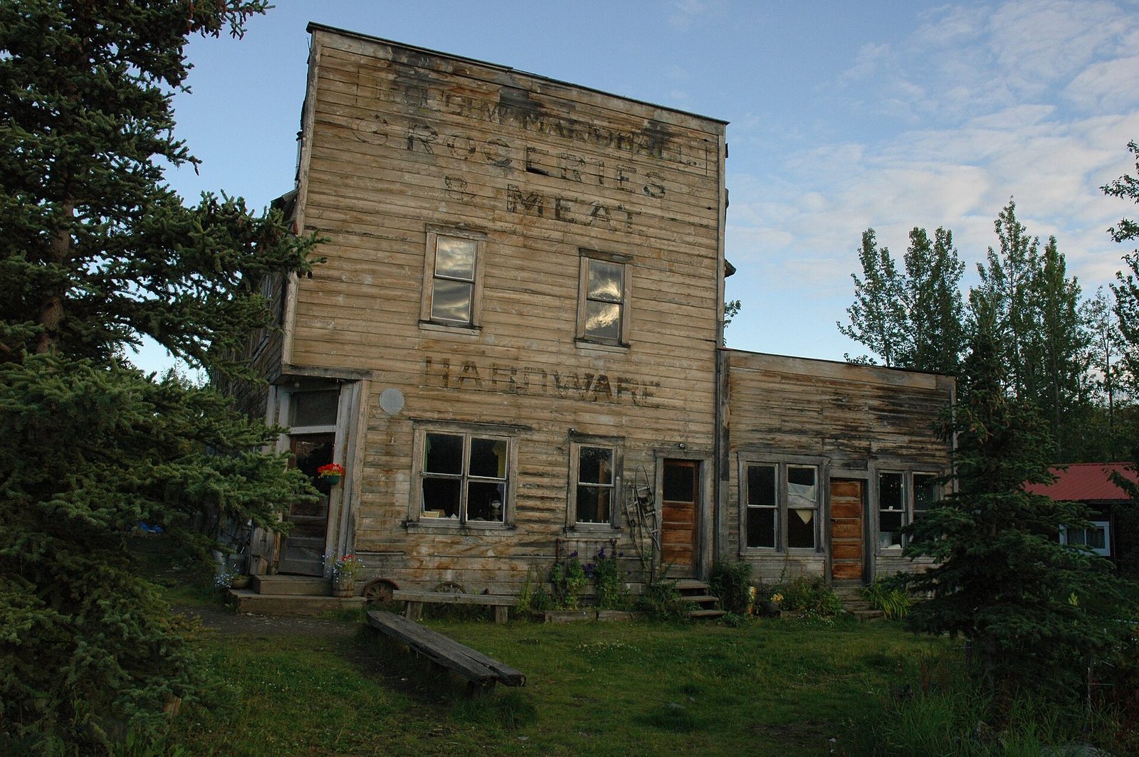
The McCarthy Road follows the bed of the old copper railway for about 60 miles (97 km) of gravel from Chitina, across the Copper River and over the Kuskulana Bridge, high above a gorge, to the end of the road at the Kennicott River. From there you walk across a footbridge into McCarthy, a tiny frontier town of old wooden buildings that grew up as the place where Kennecott’s miners went to drink and dance. A shuttle carries you the last few miles up to Kennecott.
- Distance: about 60 miles (97 km) of gravel road
- Allow: about 3 hours each way
- Start: Chitina, on the Edgerton Highway
- When: late May to September
- Suits: everyone, in a vehicle fit for rough gravel
5. Fly over the mountains and glaciers
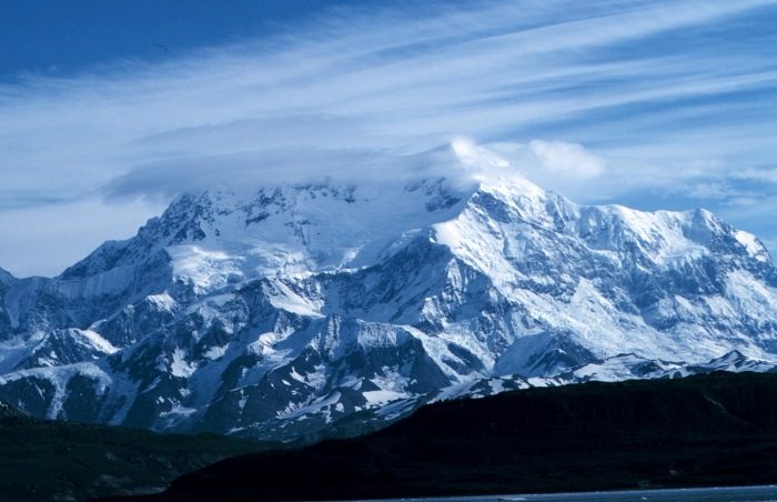
Most of the park can only be seen from the air. Flightseeing trips from McCarthy and other towns around the park fly over the great icefields and glaciers, past Mount Wrangell, a huge active volcano, and, on longer flights, the 18,008-foot (5,489 m) Mount Saint Elias, which rises from near the sea to one of the greatest heights of any coastal mountain on Earth. Some flights land on a glacier or drop hikers and rafters in the backcountry.
- Allow: 1 to 2 hours
- Start: an air-tour operator in McCarthy, Chitina or Glennallen
- When: June to September, on clear days
- Suits: everyone
6. Raft the rivers below the glaciers
From McCarthy, guided rafting trips run the Kennicott River and the Nizina River, fast, cold, silty rivers fed by the glaciers, through canyons and past glacier fronts. Shorter trips take a few hours; longer ones go deep into the backcountry for several days, often starting with a flight in. It is an exciting way to see a side of the park few visitors reach.
- Allow: half a day to several days
- Start: McCarthy, with a licensed guide
- When: June to August
- Suits: everyone on a guided trip
7. Drive the Nabesna Road
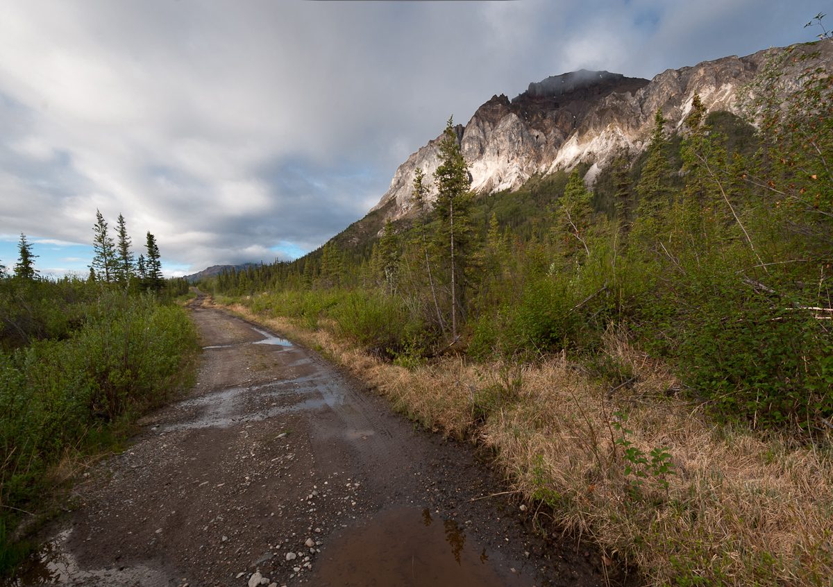
In the north of the park, the Nabesna Road runs for about 42 miles (68 km) into the interior from Slana, across open country with sweeping views of the Wrangell and Mentasta mountains, past small lakes and old mining claims. It is very quiet, with a few primitive campsites and trailheads for day hikes onto the tundra, such as the Skookum Volcano Trail. The last part of the road crosses streams that can be impassable after rain.
- Distance: about 42 miles (68 km) of gravel road
- Allow: a day
- Start: the Slana Ranger Station, on the Tok Cutoff
- When: June to September
- Suits: everyone; a high-clearance vehicle for the last miles
8. See the volcanoes from the Copper Center visitor center
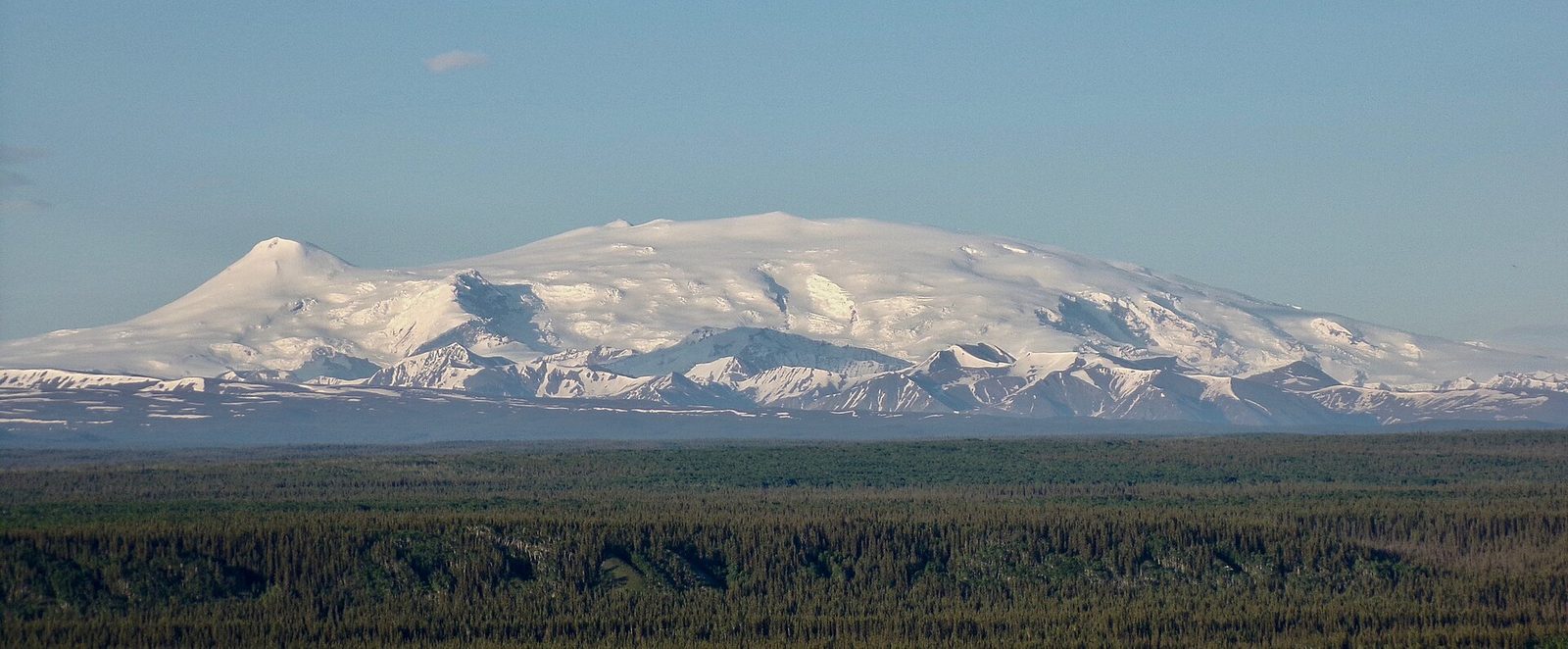
Near Copper Center, on the Richardson Highway, the park’s main visitor center looks across the Copper River valley to Mount Wrangell, Mount Drum and Mount Sanford, great volcanic peaks rising more than 12,000 feet (3,600 m) above the valley. On a clear day you may see steam rising from the summit of Mount Wrangell, still active. It is a good first stop, with exhibits, a film and short trails.
- Allow: 1 hour
- Start: Copper Center Visitor Center, on the Richardson Highway
- When: summer for the visitor center; the views are there all year
- Suits: everyone
9. See Hubbard Glacier
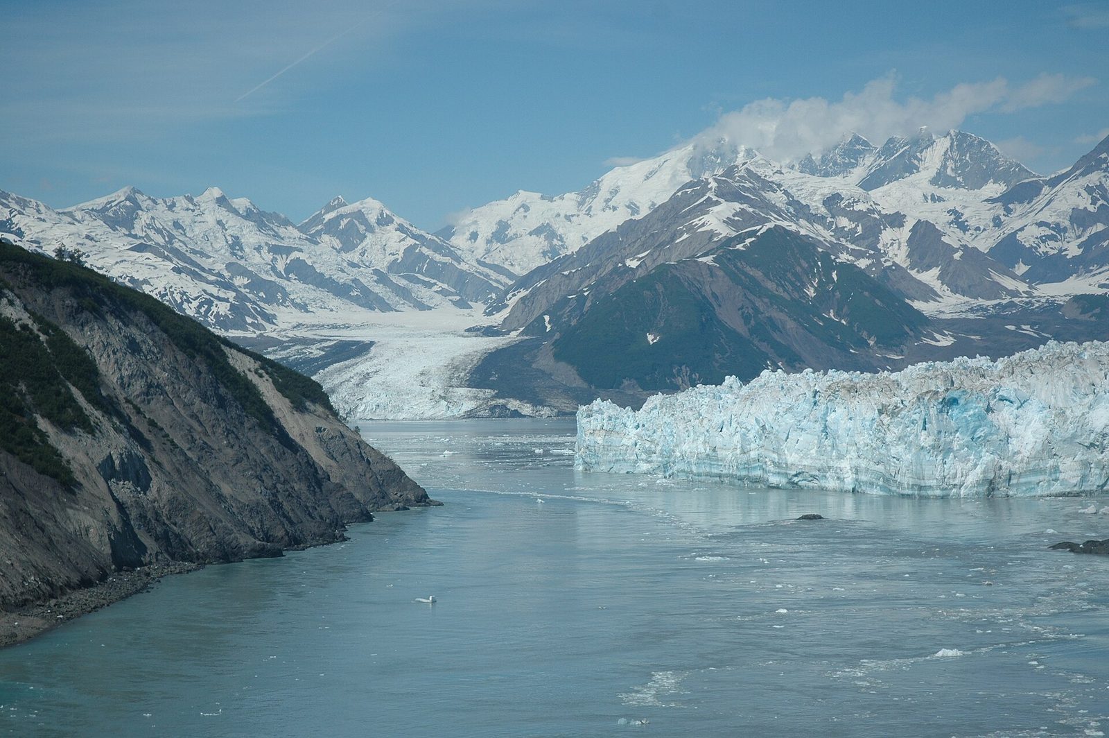
On the park’s far southern coast, Hubbard Glacier flows from the Canadian border down to Disenchantment Bay, ending in a wall of ice some 6 miles (10 km) wide that calves great blocks into the sea. It is one of the largest tidewater glaciers in North America, and it has been advancing. It is reached by boat or plane from the small town of Yakutat, and many Alaska cruise ships sail up to it.
- Allow: half a day to a day
- Start: Yakutat, by boat or small plane, or on a cruise ship
- When: May to September
- Suits: everyone
Before you go
This list covers what stays the same from year to year. Closures, road conditions, shuttle times and tour schedules change, and the National Park Service posts them on its own site. The link is on our Wrangell–St. Elias National Park guide, with the map and how to get there.