

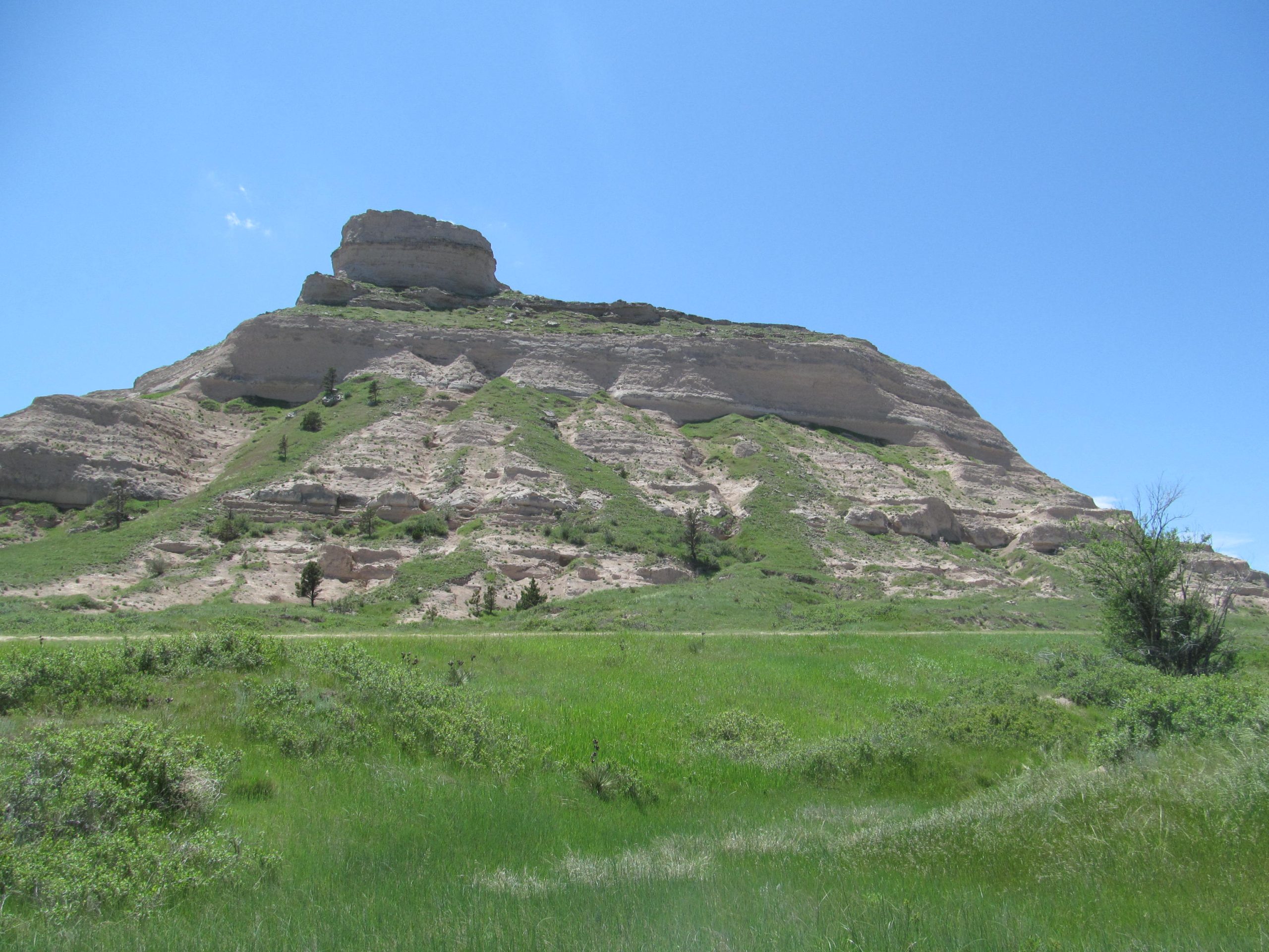
Scotts Bluff National Monument
Scotts Bluff rises 800 feet (240 m) above the North Platte River in western Nebraska, a landmark for travellers on the Oregon, California and Mormon trails. A trail and a road climb to the summit, and wagon ruts still cross Mitchell Pass at its foot.
Fast facts
- Established: 1919
- Size: about 3,000 acres (12 km²)
- Height: 800 feet (240 m) above the river
- History: a landmark on the Oregon, California and Mormon trails
- Gateways: Gering and Scottsbluff, Nebraska
- Managed by: the National Park Service
The landscape
The bluff is a remnant of the high plains, layers of sandstone, siltstone and volcanic ash capped by harder rock that protected it as the land around it eroded. Mixed-grass prairie surrounds it, with pine and juniper on its slopes, and the North Platte River runs along the north side.
Best time to go
Spring and fall are most comfortable. Summer highs are in the 80s and 90s°F (27-37°C), sometimes over 100°F (38°C), and spring is the windiest season. Winter days are cool, with nights below freezing.
Getting there and around
The visitor center is on the Old Oregon Trail Road about 3 miles (5 km) west of Gering. From I-80, exit at Kimball and drive about 45 miles (72 km) north on Highway 71.
Things to do
Drive the 1.6-mile (2.6 km) Summit Road, which passes through three tunnels, and walk the short summit trails to overlooks above the river. At the visitor center, see paintings and photographs by William Henry Jackson, who crossed here in 1866, and walk to the Oregon Trail ruts at Mitchell Pass.
The Saddle Rock Trail climbs 1.6 miles (2.6 km) one way and about 435 feet (133 m) from the visitor center to the summit, through a tunnel in the bluff. Experienced hikers can cross the backcountry of South Bluff after checking in with a ranger.
Staying safe
Carry water: there is little shade, and summer heat is strong. The Saddle Rock Trail has steep drop-offs. Watch for rattlesnakes. Stay off the rock, which is soft and crumbles.
Know before you go
There is no entrance fee. The Summit Road has limits on vehicle length and height and may close for weather or rockfall. This page is a general overview, not a live conditions report, so confirm road status with the National Park Service before you go.
- Coordinates
- 41.8339, -103.7073
- Magnetic declination
- 7.0° E (2026)
Set this declination on your compass, then align it to the map's north lines; it is the angle between true north and magnetic north, refreshed each year.
How declination works, and how to navigate with a map and compass
A spread of the park’s main places shows straight away, and the rest appear as you zoom in. You can also search above, or pick any place from the lists below, and the map will go to it. Places in bold, marked , have a short description.
Getting there 2
Park entrance
Visitor centre
On the trail 1
Route
Sights 10
Viewpoints
Heritage site
Peaks
Map data comes from third-party sources and may be incomplete or out of date, so carry a current official map (terms).
Looking for one of these closer to home?Destinations near me by trip type →
- Best seasons
- Spring, Fall
- Difficulty
- Easy to moderate
- Access / trailheads
- Old Oregon Trail Road about 3 miles (5 km) west of Gering; from I-80, Highway 71 north from Kimball.
- Water
- At the visitor center.
- Cell / satellite coverage
- Good.
- Nearest ranger / SAR / emergency
- Emergencies: 911. Visitor center: 308-436-9700.
- Permits & regulations
- No entrance fee. Vehicle size limits on the Summit Road.
- Leave No Trace
- Stay on trails, do not climb on or carve the soft rock, and pack out all waste.
January
- Below-freezing nights
February
- Below-freezing nights
March
- Below-freezing nights
April
May
June
July
August
- Day-to-night swing of 30°F (17°C)Day-to-night swing of 17°C (30°F)
September
- Day-to-night swing of 32°F (18°C)Day-to-night swing of 18°C (32°F)
October This month
- Day-to-night swing of 30°F (17°C)Day-to-night swing of 17°C (30°F)
November
- Below-freezing nights
December
- Below-freezing nights
What to bring depends on your trip: how long you’re out, where you sleep, and how far you go from the road. The planner builds the list for yours.
Plan a trip here →Averages for 1991–2020 from NOAA U.S. Climate Normals, measured at the Scottsbluff station, 4 miles (7 km)7 km (4 miles) away at 3,879 feet (1,182 m)1,182 m (3,879 feet). Higher trails run colder, by about 3.5°F for every 1,000 ft (2°C per 300 m)2°C for every 300 m (3.5°F per 1,000 ft) of climb. Daylight runs from sunrise to sunset on the 15th, on the park’s own clock, for a level horizon. Valleys and slopes facing away from the sun are in shade earlier.
Nearby parks
-
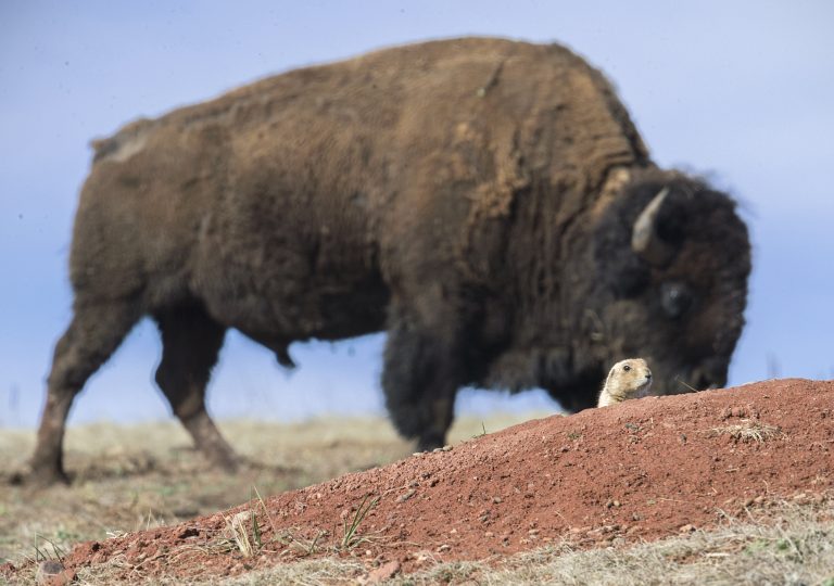 Wind Cave National Park
One of the world's longest caves, famous for its boxwork, beneath prairie and pine in the Black Hills, with bison and prairie dogs above.
-
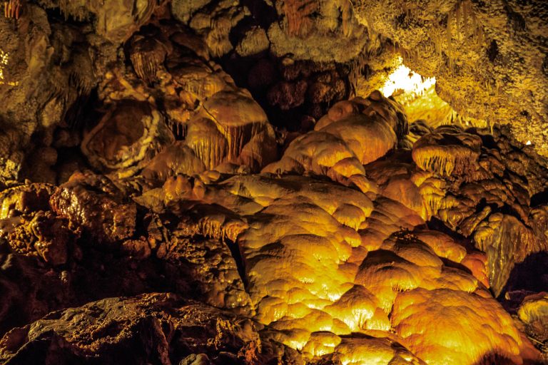 Jewel Cave National Monument
One of the world’s longest caves, crusted with calcite crystals, beneath the Black Hills of South Dakota.
-
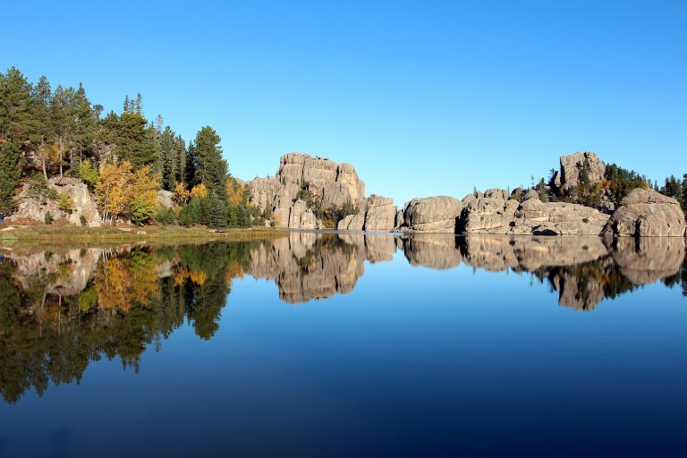 Custer State Park
Bison herds, granite spires and the Needles Highway in the Black Hills, with trails to Black Elk Peak.
-
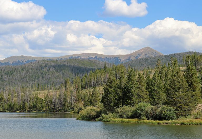 State Forest State Park
Colorado's moose capital: 71,000 acres (290 km²) of forest, peaks and alpine lakes below Cameron Pass, with yurts.
Straight-line distance between park centres. Road distance is usually longer.
Looking for somewhere closer to home?
See every park and monument within a day’s drive of where you are.