

Top 9 things to do in Saguaro National Park
Saguaro National Park protects the giant saguaro cactus, the tall, many-armed symbol of the American Southwest, in two districts on either side of Tucson, Arizona. The Tucson Mountain District, to the west, has the densest stands of saguaros on low, rocky hills. The Rincon Mountain District, to the east, has older, taller saguaros on the desert floor and climbs from there through grassland and oak woodland to pine and fir forest at more than 8,000 feet (2,400 m). These are the nine outings we would put first. The order starts with what the park is known for, then goes by what an outing gives back for the time and effort it takes. Distances are approximate; times are our estimates and do not include stops.
Summer heat here is dangerous. From May to September the desert floor passes 100°F (38°C) by late morning: walk at dawn, carry at least a gallon (4 L) of water per person for a day out, and turn back when half of it is gone. July to September also brings monsoon storms, with lightning and flash floods in the washes. Rattlesnakes are common in the warm months. Give cholla a wide berth: its spiny joints break off at a touch and cling, so carry a comb to flick them off.
1. Drive the Cactus Forest Loop
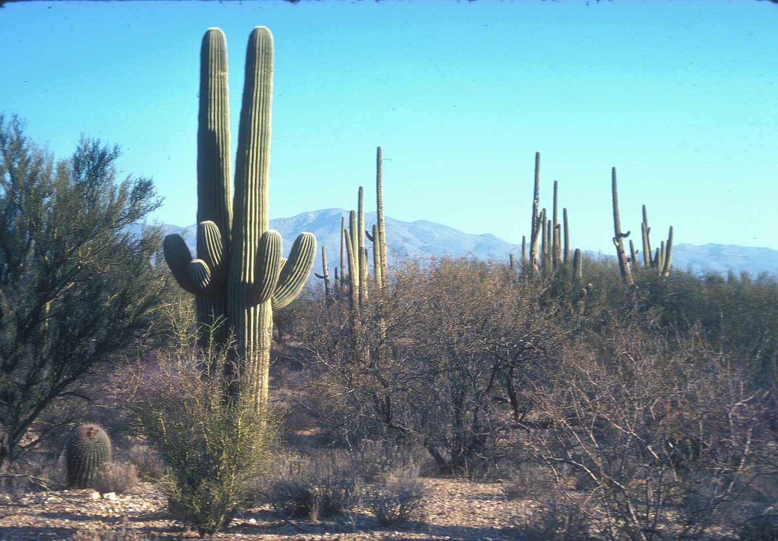
This paved one-way road winds through the Rincon Mountain District’s cactus forest, among saguaros that can reach 40 feet (12 m) or more and live for well over a century, with the Rincon Mountains rising behind them. Pullouts, picnic areas and short trails along the way let you walk out among the cactus. It is also a popular ride for cyclists, and a fine place to watch the sunset light on the mountains. Stop at the Rincon Mountain Visitor Center first for its exhibits on how a saguaro grows.
- Distance: 8 miles (13 km) loop
- Allow: 1 hour; half a day with short walks
- Start: Rincon Mountain Visitor Center, on Old Spanish Trail on the east side of Tucson
- When: all year; October to April for walking; early morning and evening in summer
- Suits: everyone
2. Watch the sunset from the Valley View Overlook Trail
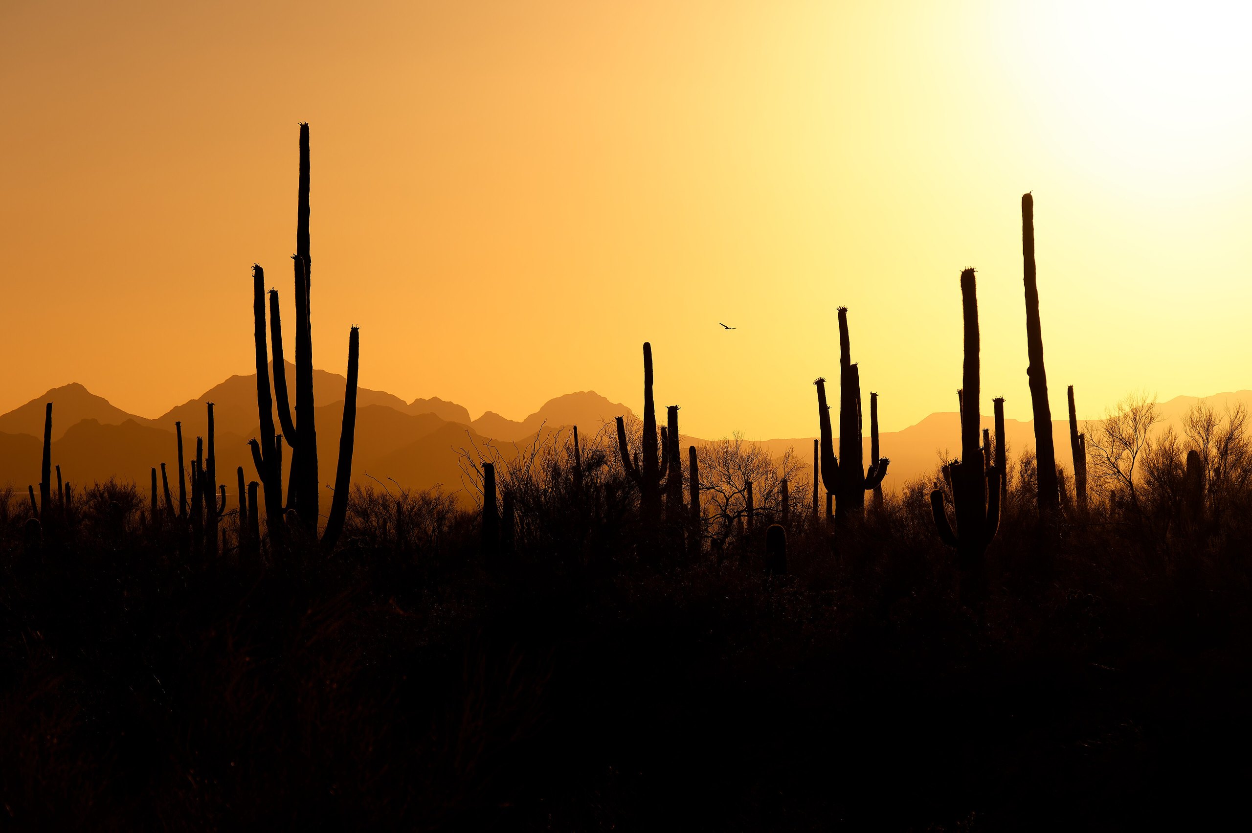
In the Tucson Mountain District, this short trail crosses two washes and climbs gently to a ridge with a view over hundreds of saguaros on the slopes below and out across the Avra Valley to distant ranges. At sunset the saguaros stand in black outline against the sky, which is the picture most people come to Arizona to see. Go about an hour before sunset, and bring a flashlight for the walk back.
- Distance: 0.8 miles (1.3 km) round trip
- Allow: 45 minutes, plus time for the sunset
- Start: Valley View Overlook trailhead, on Bajada Loop Drive
- When: all year; the hour before sunset
- Suits: everyone
3. See the petroglyphs on Signal Hill
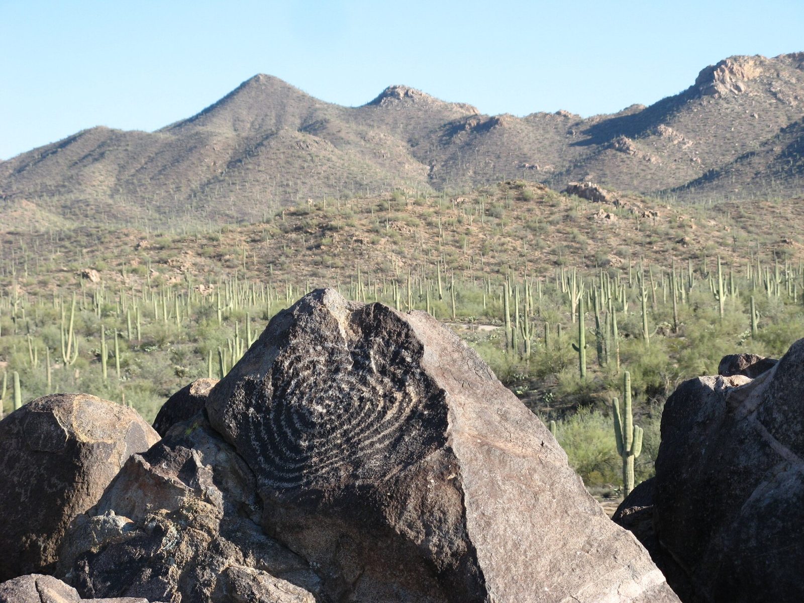
A short path climbs from a picnic area to the top of Signal Hill, a small hill of dark volcanic rock. Its boulders are covered with petroglyphs made by the Hohokam people, who farmed the desert valleys here more than 800 years ago: spirals, people, animals and shapes whose meaning is lost. The top of the hill also has a fine view across the saguaro-covered flats of the Tucson Mountain District. Look, but do not touch: skin oil damages the rock.
- Distance: about 0.3 miles (500 m) round trip, with stone steps
- Allow: 30 minutes
- Start: Signal Hill Picnic Area, on Bajada Loop Drive
- When: all year; morning and late afternoon light shows the carvings best
- Suits: everyone who can manage steps
4. Drive the Bajada Loop
This graded dirt road loops through the heart of the Tucson Mountain District, among some of the densest saguaro forest anywhere, with chollas, prickly pears, ocotillos and palo verde trees between them. It connects most of the district’s trailheads and picnic areas, including Valley View and Signal Hill, and makes an easy morning’s drive with short walks along the way. It is suitable for ordinary cars when dry.
- Distance: 6 miles (10 km) loop
- Allow: 1 hour; half a day with walks
- Start: Red Hills Visitor Center, on Kinney Road west of Tucson
- When: all year; it can be rough after summer storms
- Suits: everyone; not suited to long trailers
5. Learn the desert on the Desert Discovery Trail
Near the Red Hills Visitor Center, this short paved loop has signs explaining how the plants and animals of the Sonoran Desert live with heat and little water: how a saguaro swells with water after rain, why the palo verde has green bark, and who nests in the holes in the cactus. It is the best first walk in the park, for children and for anyone who has not seen the desert up close before. In late April and May, the saguaros carry crowns of white flowers, which open at night and close the next afternoon.
- Distance: 0.5 miles (800 m) loop
- Allow: 30 minutes
- Start: Desert Discovery Trail parking area, on Kinney Road just north of the Red Hills Visitor Center
- When: all year; late April to early June for saguaro flowers
- Suits: everyone; the trail is paved and accessible
6. Walk the Freeman Homestead Trail
In the Rincon Mountain District, this loop drops through a forest of saguaros to a wash lined with large mesquite trees, then passes the adobe ruins of a homestead from the 1920s. Great horned owls often roost in the trees along the wash during the day. It is a short walk with a lot of variety, and quieter than the stops on the loop drive.
- Distance: 1 mile (1.6 km) loop
- Allow: 45 minutes
- Start: Javelina Picnic Area parking, on the Cactus Forest Loop Drive
- When: October to April; early morning in summer
- Suits: most walkers
7. Climb Wasson Peak
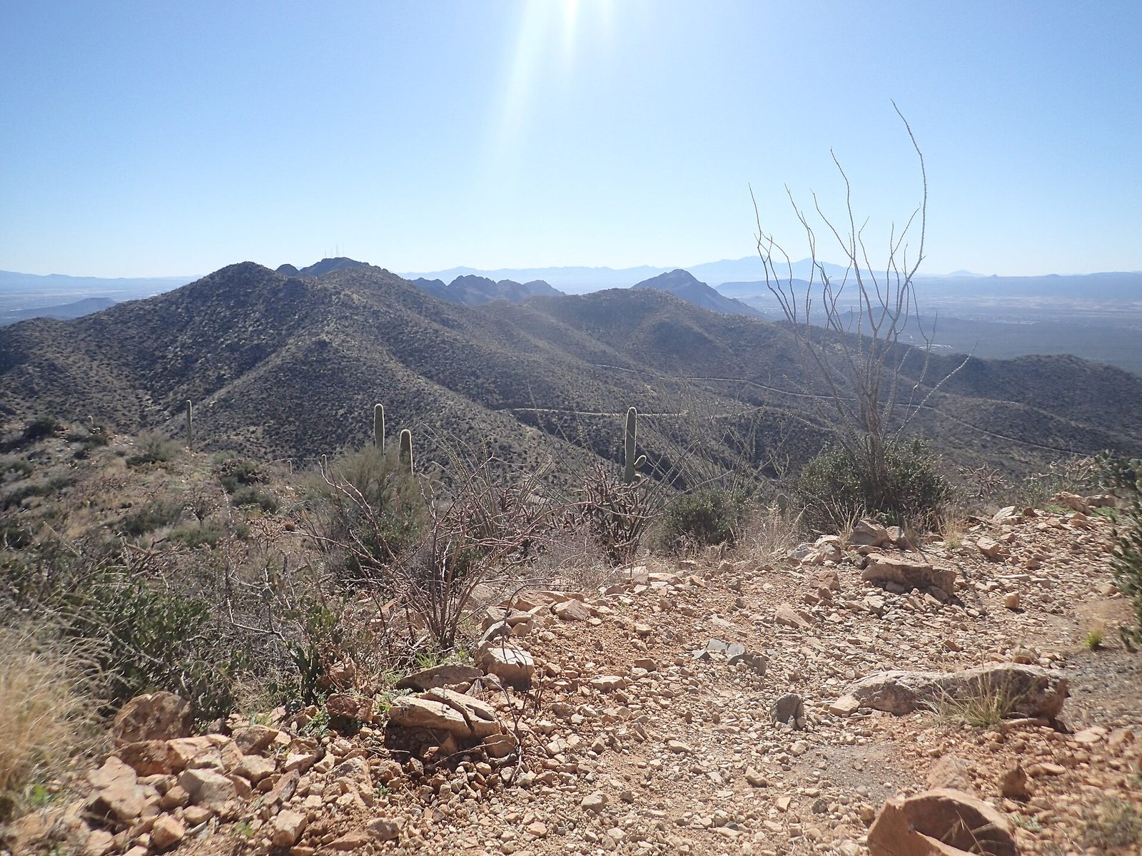
At 4,687 feet (1,429 m), Wasson Peak is the highest summit in the Tucson Mountains, and the view from the top takes in the whole Tucson basin, the ranges around it and, on a clear day, mountains in Mexico. The usual route climbs the King Canyon Trail past old mine shafts, through saguaros and up the open slopes to the ridge, and the last stretch follows the ridge to the summit. It is the best day hike in the western district.
- Distance: about 7 miles (11 km) round trip on the King Canyon Trail
- Climb: about 1,800 feet (550 m)
- Allow: 4 to 5 hours
- Start: King Canyon trailhead, on Kinney Road across from the Arizona-Sonora Desert Museum
- When: November to March; start at dawn
- Suits: fit hikers
8. Hike up the Tanque Verde Ridge Trail
This trail climbs a long ridge on the south side of the Rincon Mountain District from the saguaros of the desert floor into grassland and oak and juniper woodland, with the views over Tucson growing wider with every mile. You can turn around anywhere, and even a couple of hours’ climb gives a good sense of how quickly the plants change with height. Juniper Basin, a backcountry campground, is a long day’s round trip from the trailhead.
- Distance: as far as you like; about 14 miles (23 km) round trip to Juniper Basin
- Climb: about 3,000 feet (900 m) to Juniper Basin
- Allow: 2 hours for a short walk; a full day to Juniper Basin
- Start: Javelina Picnic Area, on the Cactus Forest Loop Drive
- When: October to April
- Suits: steady walkers for the lower ridge; fit hikers beyond
9. Backpack to the pine forest on Mica Mountain
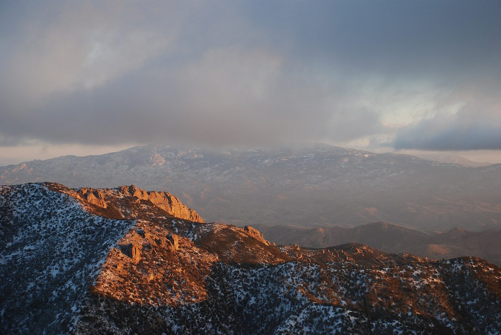
The Rincon Mountains rise to 8,668 feet (2,642 m) at Mica Mountain, the highest point in the park, and their summit is a forest of ponderosa pine, Douglas fir and aspen, home to black bears, white-tailed deer and wild turkeys, a world away from the cactus below. No road goes there. Backpackers climb for a long day from the desert to the backcountry campgrounds near the top, such as Manning Camp, and spend a night or two. A wilderness permit is required.
- Allow: 2 to 3 days
- Start: the Douglas Spring trailhead at the east end of Speedway Boulevard, or the Javelina Picnic Area
- When: April to June and September to October
- Suits: experienced backpackers with a permit
Before you go
This list covers what stays the same from year to year. Closures, road conditions, heat warnings and wilderness permits change, and the National Park Service posts them on its own site. The link is on our Saguaro National Park guide, with the map and how to get there.