

Pukaskwa National Park
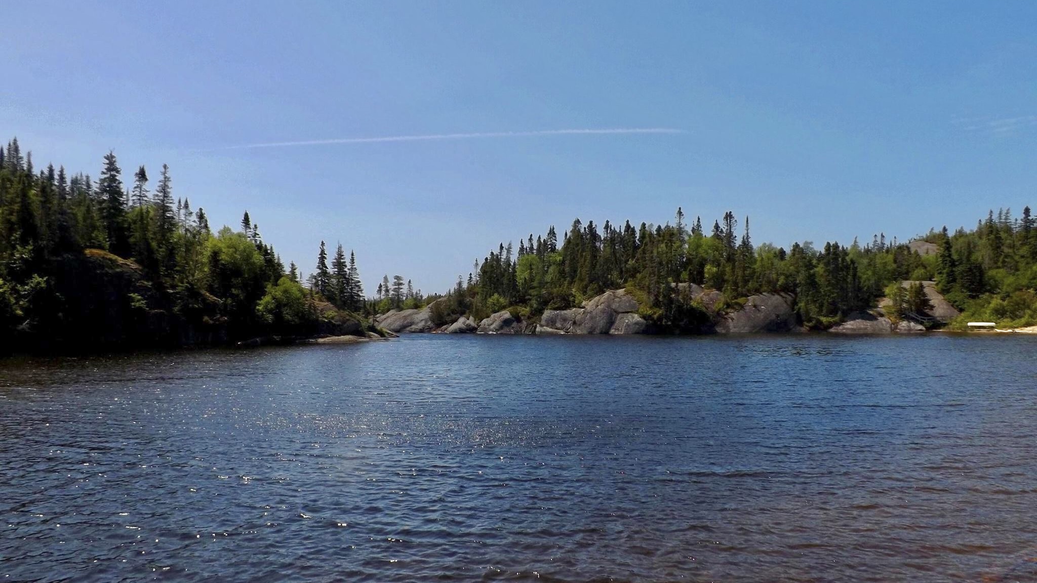
Pukaskwa is Ontario’s only wilderness national park. A rugged, roadless stretch of the Lake Superior coast where the ancient granite of the Canadian Shield meets the largest freshwater lake on Earth. Boreal forest, cobble beaches and wave-battered headlands frame a coastline so wild that most of it is reached only on foot or by kayak, offering true solitude on an inland sea.
Fast facts
- Established: 1978
- Size: about 725 square miles (1,878 km²) on Lake Superior’s eastern shore
- Character: Ontario’s only wilderness national park
- Signature route: the challenging Coastal Hiking Trail
- Gateway: Marathon, Ontario
- Managed by: Parks Canada
The landscape
The park is a meeting of rock and water, billion-year-old Shield granite worn into headlands, coves and cobble beaches along Lake Superior, backed by dense boreal forest of spruce, fir and birch. Rivers tumble to the lake in falls and rapids, and the cold, vast water dominates everything, shaping the weather and hiding the shy wildlife: black bears, moose, wolves and the occasional woodland caribou.
Best time to go
Summer and early fall are the season for hiking and paddling, when the weather is warmest and the trails and campground are open, though Lake Superior keeps things cool and changeable even in July. Fall adds color and solitude. Outside the warm months the park largely closes down, given over to snow and deep cold.
Getting there and around
The developed core at Hattie Cove is reached off Highway 627 near Marathon in northern Ontario. A vehicle brings you to the campground, day-use trails and visitor centre, but the wild heart of the park, the coast, is accessed only on foot along the backcountry trail or by kayak from the water.
Things to do
Walk the short trails and suspension bridge at Hattie Cove, then, for the committed, backpack the rugged multi-day Coastal Hiking Trail along the shore or paddle the exposed coast by sea kayak. Swim the (bracing) beaches, watch for wildlife, and take in Superior’s moods, from mirror calm to thundering surf.
Staying safe
Lake Superior is cold, powerful and prone to sudden storms, so paddlers need real sea-kayak skills, cold-water gear and weather patience, and hikers should respect the exposed, rugged coast. The backcountry is remote with limited help, black bears are present, and rivers run cold. Carry a satellite messenger, store food properly, and be self-sufficient.
Know before you go
A Parks Canada pass is required, backcountry routes need registration, and camping should be reserved. This page is a general overview, not a live conditions report; always confirm current conditions, routes and reservations with Parks Canada before your trip.
- Coordinates
- 48.2974, -85.9255
- Magnetic declination
- 6.4° W (2026)
Set this declination on your compass, then align it to the map's north lines; it is the angle between true north and magnetic north, refreshed each year.
A spread of the park’s main places shows straight away, and the rest appear as you zoom in. You can also search above, or pick any place from the lists below, and the map will go to it.
Getting there 1
Ranger station
On the trail 40
Campgrounds
Sights 13
Waterfalls
Beachs
Point of interests
Islands
Peak
Map data comes from third-party sources and may be incomplete or out of date, so carry a current official map (terms).
- Best seasons
- Summer, Early fall
- Difficulty
- Easy to strenuous
- Access / trailheads
- On the wild eastern shore of Lake Superior in northern Ontario, off Highway 627 near Marathon. Hattie Cove is the main developed access.
- Water
- Lakes and rivers throughout; filter or treat all backcountry water.
- Cell / satellite coverage
- Little to no cell service in the backcountry. Carry a map and a satellite messenger.
- Nearest ranger / SAR / emergency
- Parks Canada dispatch: 1-877-852-3100; life-threatening emergencies: 911.
- Permits & regulations
- A Parks Canada pass is required; backcountry hiking and paddling routes need registration, and camping requires a reservation.
- Leave No Trace
- Camp only at designated sites, store food from bears, pack out all waste, and follow Leave No Trace.
January
- Below freezing all day
February
- Below freezing all day
March
- Below freezing all day
April
- Below-freezing nights
May
June
July
August
September This month
October
November
- Below-freezing nights
December
- Below freezing all day
What to bring depends on your trip: how long you’re out, where you sleep, and how far you go from the road. The planner builds the list for yours.
Plan a trip here →Averages for 1981–2010 from Environment Canada climate normals, measured at the Wawa Airport station, 71 miles (115 km) away at 942 feet (287 m). That is the nearest station with long-term records, so treat these as a regional guide.