

North Cascades National Park
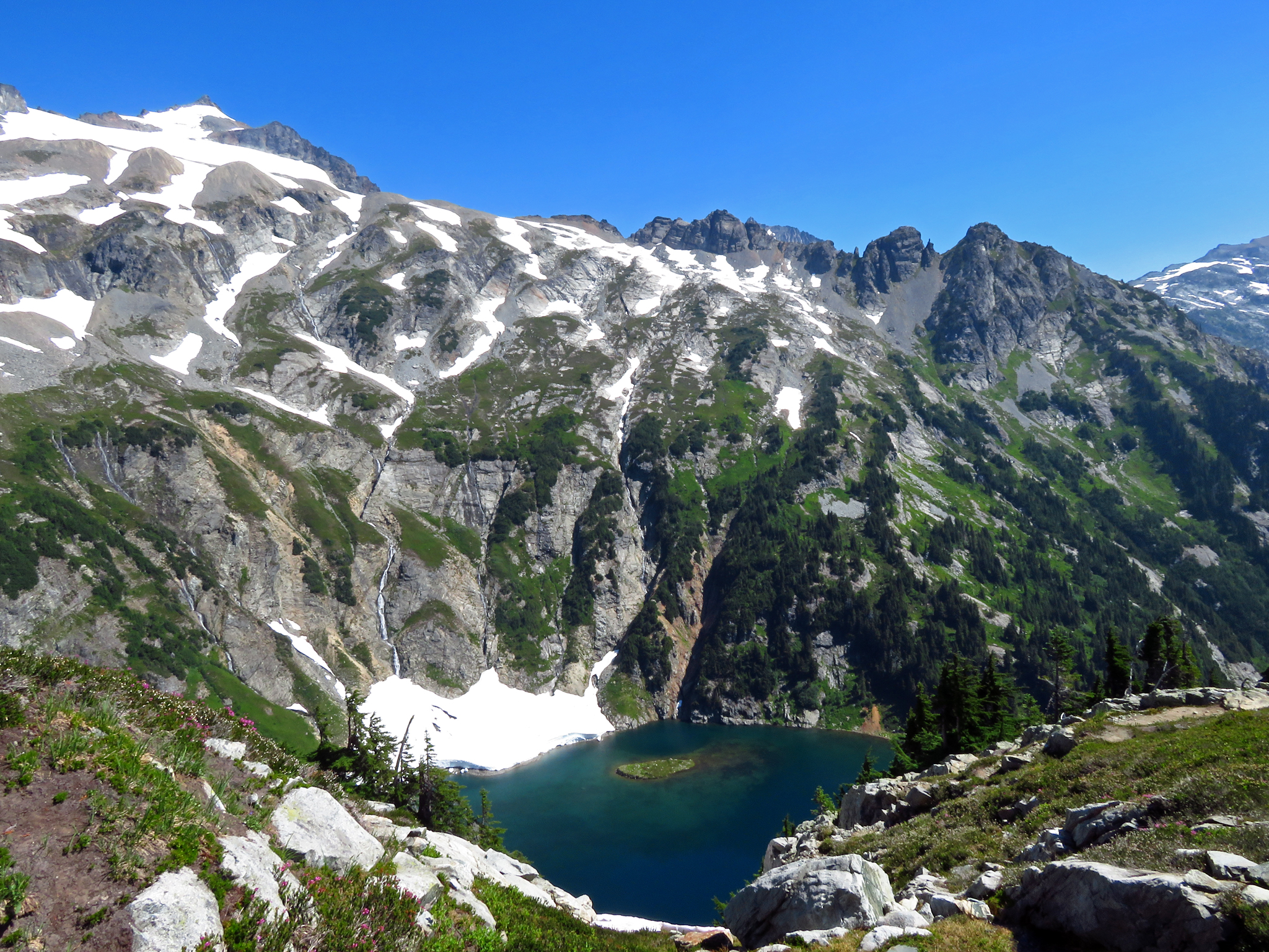
The North Cascades are the “American Alps”, a wilderness of jagged, glacier-hung peaks, plunging valleys and turquoise glacier-fed lakes in northern Washington. Holding more glaciers than anywhere in the Lower 48 outside Alaska, and among the least-visited of the major parks, it offers rugged solitude, serious mountaineering, and scenery as dramatic as any range on the continent.
Fast facts
- Established: 1968
- Size: about 505,000 acres (2,040 km²) (within a larger complex with Ross Lake and Lake Chelan)
- Glaciers: more than 300, the most of any U.S. park outside Alaska
- Character: steep, wild and lightly visited
- Gateway: the North Cascades Highway (SR-20) corridor, Washington
- Managed by: National Park Service
The landscape
This is a vertical, heavily glaciated landscape, hundreds of ice-clad peaks, hanging valleys, and the milky turquoise waters of Diablo and Ross lakes far below. Old-growth forest fills the wet valleys, alpine meadows and heather bloom on the high benches, and the whole is stitched by rivers of glacial melt. Black bears, mountain goats, and even a few grizzlies range the wilderness.
Best time to go
Summer and early fall are effectively the season, when the North Cascades Highway is open, the high trails clear of snow, and the larches turn gold in late September. Deep snow buries the high country much of the year, and SR-20 closes for winter, so plan around the short, glorious mountain summer.
Getting there and around
The scenic North Cascades Highway (SR-20) threads the corridor between the park’s units, open seasonally, and is the main access, but the park itself is largely roadless wilderness reached on foot. Marblemount is the hub for wilderness permits; a vehicle gets you to the trailheads and overlooks along the highway.
Things to do
Hike to alpine viewpoints like Cascade Pass and Maple Pass, walk beneath old growth, and take in the highway overlooks of Diablo Lake’s unreal color. Backpackers link remote high routes, mountaineers tackle glaciated peaks like Shuksan and Boston, and boaters explore Ross and Lake Chelan (with the remote community of Stehekin).
Staying safe
The high country is glaciated, crevassed terrain for equipped, experienced parties, and many trails have steep exposure. Weather turns fast and cold, snow lingers into summer, rivers run cold and swift, and this is bear country. Carry layers, a satellite messenger and bear-proof storage, and match objectives to your skills.
Know before you go
There is no entrance fee, but wilderness camping needs a permit, and SR-20 closes in winter. This page is a general overview, not a live conditions report; always confirm current road status, conditions and permits with the National Park Service before your trip.
- Coordinates
- 48.6852, -121.1359
- Magnetic declination
- 14.9° E (2026)
Set this declination on your compass, then align it to the map's north lines; it is the angle between true north and magnetic north, refreshed each year.
A spread of the park’s main places shows straight away, and the rest appear as you zoom in. You can also search above, or pick any place from the lists below, and the map will go to it.
On the trail 45
Trailhead
Campgrounds
Hut or shelters
Sights 69
Waterfalls
Point of interests
Peaks 30
Map data comes from third-party sources and may be incomplete or out of date, so carry a current official map (terms).
- Best seasons
- Summer, Early fall
- Difficulty
- Moderate to strenuous
- Access / trailheads
- In northern Washington via the North Cascades Highway (SR-20), which threads the area seasonally. The park itself is largely roadless; Marblemount is the permit hub.
- Water
- Abundant rivers, streams and lakes; filter or treat all backcountry water.
- Cell / satellite coverage
- Little to no cell service. Carry a map and a satellite messenger.
- Nearest ranger / SAR / emergency
- Contact park rangers; life-threatening emergencies: 911.
- Permits & regulations
- No entrance fee; wilderness camping requires a permit, and the highway (SR-20) through the area closes in winter.
- Leave No Trace
- Use bear-proof storage, stay on trails, pack out all waste, and follow Leave No Trace.
January
- Below-freezing nights
February
March
April
May
June
July
August
September This month
October
November
December
What to bring depends on your trip: how long you’re out, where you sleep, and how far you go from the road. The planner builds the list for yours.
Plan a trip here →Averages for 1991–2020 from NOAA U.S. Climate Normals, measured at the Newhalem station, 7 miles (11 km) away at 525 feet (160 m). Conditions change with elevation: expect it colder higher up.