

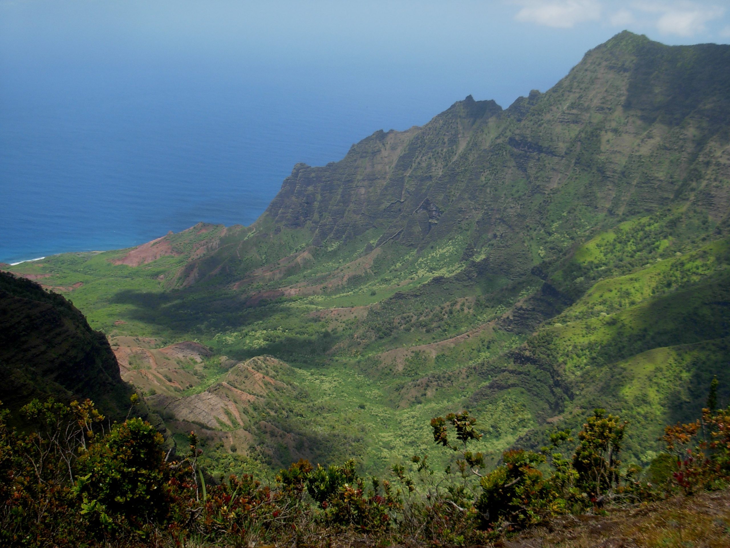
Na Pali Coast State Wilderness Park
Fast facts
- Size: about 6,175 acres (25 km²)
- Signature route: the Kalalau Trail, 11 miles (18 km) from Keʻe Beach to Kalalau Beach
- Gateway: Hāʻena and Hanalei, on Kauaʻi’s north shore
- Managed by: Hawaiʻi Division of State Parks
The landscape
The Nā Pali Coast is a wall of fluted green cliffs rising up to 4,000 feet (1,220 m) from the Pacific, cut by deep valleys, waterfalls and sea caves. The Kalalau Trail traces the only land route along it, crossing five major valleys to Kalalau, once home to a thriving Hawaiian community. Seabirds nest on the cliffs, and spinner dolphins and humpback whales pass offshore.
Best time to go
Summer brings calmer seas and a drier trail. Winter brings big surf, frequent rain and more flash floods, and the trail is closed often in stormy weather.
Getting there and around
The trail begins at Keʻe Beach at the end of the road in Hāʻena State Park. Entry and parking there are by reservation. The first 2 miles (3.2 km) to Hanakāpīʻai Beach are open to day hikers with a Hāʻena reservation; beyond that, a Nā Pali Coast camping permit is required.
Things to do
Day hikers walk to Hanakāpīʻai Beach, and some continue up the valley to Hanakāpīʻai Falls. Permit holders backpack the full trail to Kalalau Beach and camp. In summer, guided sea kayak trips run along the coast.
Staying safe
Stream crossings are the biggest danger: flash floods have killed hikers, and streams can rise in minutes after rain upstream. Never cross if the water is brown, fast or above your knees; wait it out. The surf at Hanakāpīʻai and Kalalau is deadly, with strong rip currents; do not swim. Parts of the trail, such as Crawler’s Ledge, are narrow and exposed. Carry plenty of water, a satellite messenger and a first aid kit.
Know before you go
A Nā Pali Coast camping permit is required to go past Hanakāpīʻai, even for day hikes, and entry and parking at Hāʻena State Park must be reserved. The trail closes often in bad weather. This page is a general overview, not a live conditions report, so check Hawaiʻi State Parks for current status and permit rules before you plan a trip.
- Coordinates
- 22.1752, -159.6576
- Magnetic declination
- 9.2° E (2026)
Set this declination on your compass, then align it to the map's north lines; it is the angle between true north and magnetic north, refreshed each year.
How declination works, and how to navigate with a map and compass
A spread of the park’s main places shows straight away, and the rest appear as you zoom in. You can also search above, or pick any place from the lists below, and the map will go to it. Places in bold, marked , have a short description.
On the trail 6
Trailheads
Route
Campgrounds
Sights 21
Viewpoints
Waterfalls
Beaches
Peaks 10
Map data comes from third-party sources and may be incomplete or out of date, so carry a current official map (terms).
Looking for one of these closer to home?Destinations near me by trip type →
- Best seasons
- Summer (calmer seas and drier trail)
- Difficulty
- Moderate to strenuous
- Access / trailheads
- The Kalalau Trail starts at Keʻe Beach in Hāʻena State Park, at the end of Highway 560 on Kauaʻi's north shore. Entry and parking at Hāʻena are by reservation, with a shuttle option.
- Water
- Streams only; treat all water. Leptospirosis is present in fresh water.
- Cell / satellite coverage
- None beyond the first mile. Carry a satellite messenger.
- Nearest ranger / SAR / emergency
- Emergencies: 911 (Kauaʻi Fire Department runs rescues).
- Permits & regulations
- A Nā Pali Coast camping permit is required to go past Hanakāpīʻai (mile 2), even for day hikes, and parking or entry at Hāʻena State Park must be reserved.
- Leave No Trace
- Camp only in permitted areas, pack out all waste, stay on the trail, and respect cultural sites.
January
February
March
April
May
June
July
August
September
October This month
November
December
What to bring depends on your trip: how long you’re out, where you sleep, and how far you go from the road. The planner builds the list for yours.
Plan a trip here →Averages for 1991–2020 from NOAA U.S. Climate Normals, measured at the Kanalohuluhulu station, 3 miles (5 km)5 km (3 miles) away at 3,600 feet (1,097 m)1,097 m (3,600 feet). Higher trails run colder, by about 3.5°F for every 1,000 ft (2°C per 300 m)2°C for every 300 m (3.5°F per 1,000 ft) of climb. Daylight runs from sunrise to sunset on the 15th, on the park’s own clock, for a level horizon. Valleys and slopes facing away from the sun are in shade earlier.
Nearby parks
-
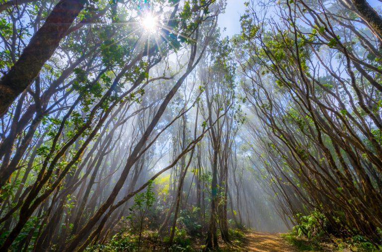 Koke’e State Park
Kauaʻi's cool upland forest above Waimea Canyon, with the Alakaʻi Swamp boardwalk and Nā Pali cliff views.
-
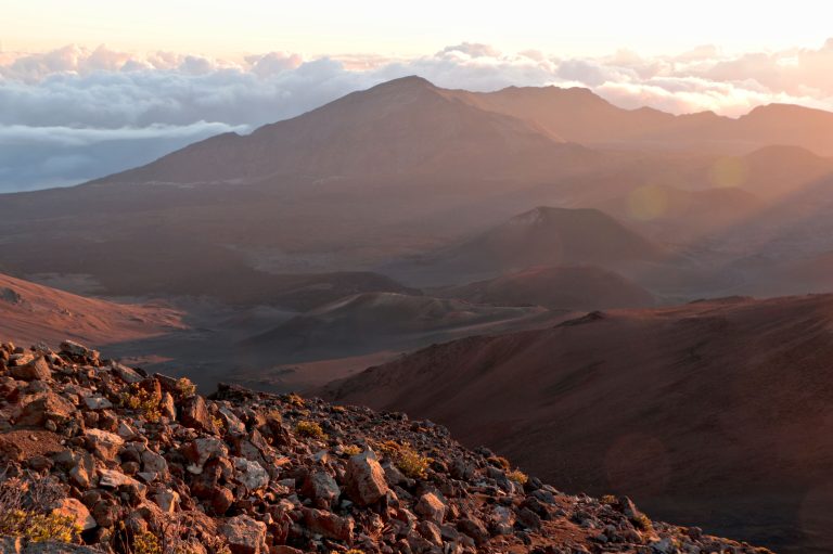 Haleakala National Park
A dormant volcano on Maui, 10,023 feet (3,055 m) high, with sunrise above the clouds and trails into the crater.
Straight-line distance between park centres. Road distance is usually longer.
Looking for somewhere closer to home?
See every park and monument within a day’s drive of where you are.