

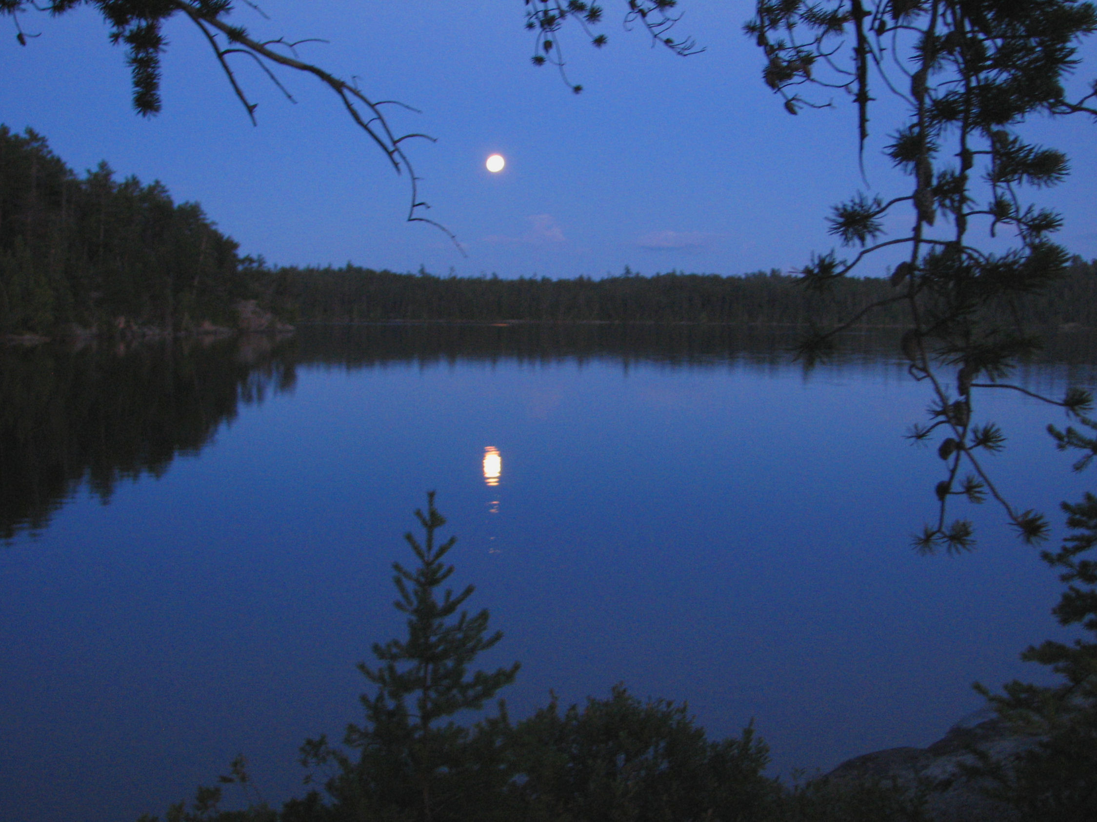
Lady Evelyn-Smoothwater Provincial Park
Fast facts
- Established: 1973
- Size: about 280 square miles (724 km²)
- Highest point: Ishpatina Ridge, about 2,270 feet (693 m), the highest point in Ontario
- Canoe routes: part of a Temagami network of about 1,490 miles (2,400 km)
- Gateway: Temagami, on Highway 11
- Managed by: Ontario Parks
The landscape
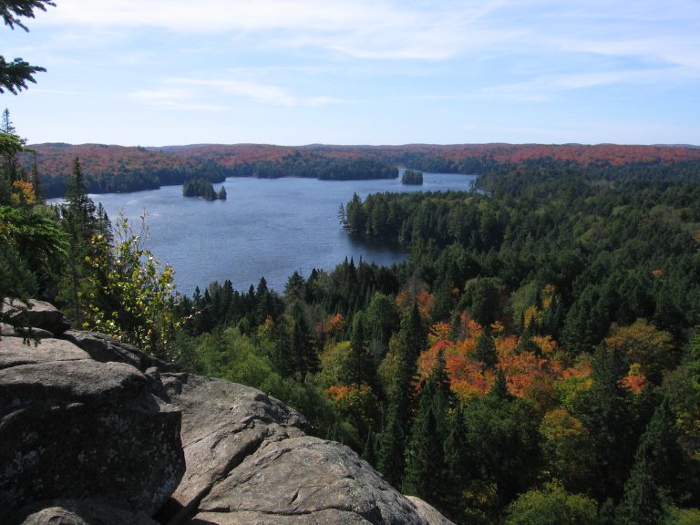
Lady Evelyn-Smoothwater sits at the heart of the Temagami region: rugged hills, deep lakes and rivers that drop in falls and rapids through old-growth red and white pine. Four of Ontario’s highest peaks are in Temagami’s backcountry parks. Canoeists travel on nastawgan, ancient Indigenous portages used for at least 10,000 years. Moose, black bears, wolves and loons live here.
Best time to go
Paddling runs from ice-out in May to early October. Spring brings high water in the rivers and heavy bugs. Summer is warmest, with occasional wildfire smoke. September is cool and quiet, with colour in the hardwoods.
Getting there and around
Most trips start outside the park, on Crown land access points such as Lake Temagami, Mowat Landing or Lady Evelyn Lake, and paddle a day or more to reach the park boundary. Floatplanes from Temagami offer a shortcut to interior lakes. Inside the park, travel is entirely by canoe and portage, and routes can link to conservation reserves and Crown land for trips of almost any length.
Things to do
Classic routes include the Lady Evelyn River, with a series of falls and rapids, and loops through Smoothwater and Florence lakes. Paddlers can hike to the fire tower on Ishpatina Ridge, the highest point in Ontario. Old-growth pine stands, fishing for lake trout and walleye, and solitude reward the effort.
Staying safe
This is remote wilderness: help can be a long way off and there is no cell service. Carry a satellite messenger, good maps and a repair kit, and leave a trip plan. Scout rapids and use portages around falls. Big lakes such as Lake Temagami get rough in wind, so cross early and stay near shore. Store food away from bears and check fire conditions before you go.
Know before you go
Interior permits are required and can be bought online or at Marten River and Finlayson Point. This page is a general overview, not a live conditions report, so confirm permits, route conditions and fire bans with Ontario Parks before you go.
- Coordinates
- 47.3778, -80.5117
- Magnetic declination
- 10.2° W (2026)
Set this declination on your compass, then align it to the map's north lines; it is the angle between true north and magnetic north, refreshed each year.
How declination works, and how to navigate with a map and compass
A spread of the park’s main places shows straight away, and the rest appear as you zoom in. You can also search above, or pick any place from the lists below, and the map will go to it. Places in bold, marked , have a short description.
Sights 45
Waterfalls
Lakes
Peaks
Map data comes from third-party sources and may be incomplete or out of date, so carry a current official map (terms).
Looking for one of these closer to home?Destinations near me by trip type →
- Best seasons
- Summer, Early fall
- Difficulty
- Strenuous (remote wilderness)
- Access / trailheads
- Mostly from Crown land access points a long way from the park, such as Lake Temagami (via the Temagami Lake access road off Highway 11), Mowat Landing and Lady Evelyn Lake. Floatplanes from Temagami offer fly-in trips.
- Water
- Lakes and rivers; filter or treat all water.
- Cell / satellite coverage
- None in the interior. Carry a satellite messenger.
- Nearest ranger / SAR / emergency
- Emergencies: 911 by satellite device (Ontario Provincial Police lead search and rescue).
- Permits & regulations
- Interior camping permits are required, available online or by phone up to five months ahead, or in person at Marten River and Finlayson Point provincial parks.
- Leave No Trace
- Use existing campsites, keep fires small and in existing pits, store food from bears, and pack out everything.
January
- Below freezing all day
February
- Below freezing all day
March
- Below freezing all day
April
- Below-freezing nights
May
June
July
August
September
October This month
November
- Below-freezing nights
December
- Below freezing all day
What to bring depends on your trip: how long you’re out, where you sleep, and how far you go from the road. The planner builds the list for yours.
Plan a trip here →Averages for 1981–2010 from Environment Canada climate normals, measured at the Earlton Airport station, 38 miles (61 km)61 km (38 miles) away at 798 feet (243 m)243 m (798 feet). Higher trails run colder, by about 3.5°F for every 1,000 ft (2°C per 300 m)2°C for every 300 m (3.5°F per 1,000 ft) of climb. Daylight runs from sunrise to sunset on the 15th, on the park’s own clock, for a level horizon. Valleys and slopes facing away from the sun are in shade earlier.
Nearby parks
-
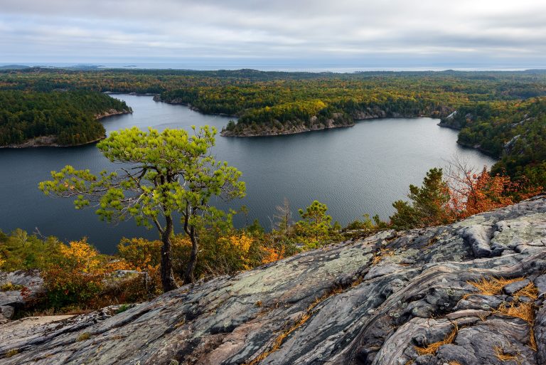 Killarney Provincial Park
White quartzite ridges and clear lakes in the La Cloche Mountains, painted by the Group of Seven, with a 50-mile (80 km) loop.
-
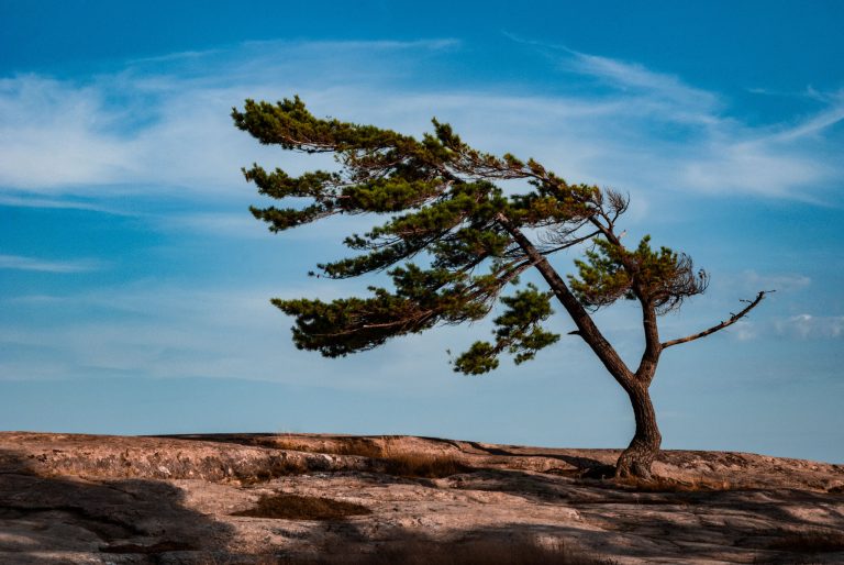 Killbear Provincial Park
Pink granite, sand beaches and windswept pines on more than 7 miles (12 km) of Georgian Bay shore, at one of Ontario's most visited parks.
-
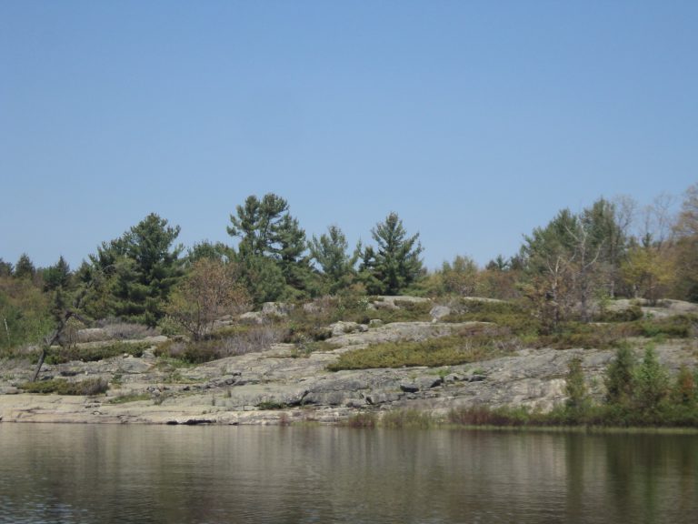 The Massasauga Provincial Park
Windswept pines, granite islands and paddle-in sites on Georgian Bay, home of Ontario's only rattlesnake.
-
 Algonquin Provincial Park
Ontario's oldest provincial park: 2,000-plus backcountry campsites on a web of lakes, portages and moose country.
Straight-line distance between park centres. Road distance is usually longer.
Looking for somewhere closer to home?
See every park and monument within a day’s drive of where you are.