

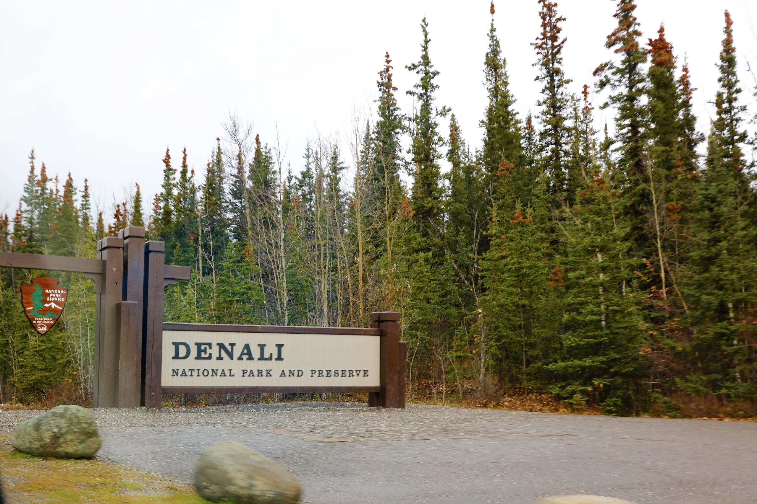
Denali National Park
Denali is the crown of Alaska, more than six million acres (24,000 km²) of subarctic wilderness built around Denali itself, at 20,310 feet (6,190 m) the highest peak in North America. A single 92-mile (150 km) gravel road bisects the park, and beyond Mile 15 you travel it by shuttle bus, not private car. That one rule is what keeps Denali wild: the interior stays a genuine roadless backcountry where grizzlies, caribou and wolves outnumber the trails.
Fast facts
- Established: 1917 (as Mount McKinley National Park; renamed Denali in 1980)
- Size: 6,045,153 acres (24,464 km²), larger than New Hampshire
- The peak: Denali, 20,310 ft (6,190 m), the tallest mountain in North America
- Glaciers: more than 2,400, covering roughly a million acres
- Location: south-central Alaska, between Anchorage and Fairbanks
- Managed by: National Park Service
The landscape
Denali stacks its ecosystems by elevation. Valley bottoms carry taiga, black and white spruce and paper birch, which thins into treeless alpine tundra bright with wildflowers in the short summer, then gives way to bare rock, snow and permanent ice on the high slopes. Braided glacial rivers carve the valleys and shift course year to year. It is prime habitat for the “big five”: grizzly bears, moose, caribou, Dall sheep and wolves.
Best time to go
June through August is peak season, with daytime highs in the 50s and 60s°F, the Park Road fully open, and up to 21 hours of daylight. September is the sweet spot for many, thinner crowds, crisp clear air that improves your odds of seeing the summit, and tundra turning gold and rust. Winter is quiet and stark, accessible mainly by ski, dog sled or snowmachine, and the best time for the aurora.
Getting there and around
Most visitors drive the Parks Highway roughly 3.5–4 hours from Anchorage or Fairbanks; there is no airport inside the park. Private vehicles can only reach Mile 15 (the Teklanika River), so to see the interior you ride a narrated shuttle or transit bus deeper along the Park Road. These are also your best wildlife-viewing platform. Beyond the road, travel is on foot.
Things to do
Riding the buses to spot bears, sheep and caribou is the signature experience. Hiking ranges from easy walks near the visitor center to trail-free backcountry route-finding across open tundra; popular marked options include the Savage River and Horseshoe Lake trails. Rangers run talks, guided walks and sled-dog demonstrations, authorized operators offer dog sledding, and permitted backcountry camping delivers the full self-sufficient wilderness experience.
Staying safe
Keep at least 25 yards (23 m) from bears and moose and 100 yards (90 m) from wolves, never feed wildlife, and carry bear spray and store food in approved containers. Weather changes fast even in July, so pack insulation and a waterproof shell regardless of forecast. Glacial river crossings are cold and can run high with snowmelt. Use caution and trekking poles. There is no cell service, so carry a satellite messenger and leave a trip plan before heading out.
Know before you go
Lodges, campsites and shuttle tickets fill months ahead, so book early. A per-vehicle entrance fee applies (the America the Beautiful pass is accepted), and there are no gas stations or grocery stores inside the park. Stock up in Talkeetna, Cantwell or Denali Park Village first. This page is a general overview, not a live conditions report; always confirm current road status, closures and permits with the National Park Service before your trip.
- Coordinates
- 63.2317, -150.6030
- Magnetic declination
- 13.8° E (2026)
Set this declination on your compass, then align it to the map's north lines; it is the angle between true north and magnetic north, refreshed each year.
A spread of the park’s main places shows straight away, and the rest appear as you zoom in. You can also search above, or pick any place from the lists below, and the map will go to it.
Getting there 5
Park entrance
Airstrips
Ranger station
On the trail 21
Trailheads
Campgrounds
Hut or shelter
Picnic sites
Sights 64
Viewpoints
Point of interests
Peaks 30
Map data comes from third-party sources and may be incomplete or out of date, so carry a current official map (terms).
- Best seasons
- Summer, Early fall (shoulder)
- Difficulty
- Easy to strenuous
- Access / trailheads
- Drive the Parks Highway from Anchorage or Fairbanks; private vehicles reach only Mile 15, then narrated shuttle/transit buses serve the 92-mile (148 km) Park Road. Backcountry travel is on foot.
- Water
- Abundant glacial rivers and streams; filter or treat all backcountry water.
- Cell / satellite coverage
- No cell service inside the park. Carry a satellite messenger or PLB and leave a trip plan.
- Nearest ranger / SAR / emergency
- Denali dispatch via park visitor centers; life-threatening emergencies: 911.
- Permits & regulations
- Per-vehicle entry fee (or America the Beautiful pass); free backcountry permit required for overnight wilderness trips; shuttle-bus tickets and campground sites should be reserved ahead.
- Leave No Trace
- Pack out all waste, store food in approved containers, stay on trail, and follow Leave No Trace principles; drones are prohibited.
January
- Below freezing all day
February
- Below freezing all day
March
- Below freezing all day
April
- Below-freezing nights
May
- Below-freezing nights
June
July
August
September This month
- Below-freezing nights
October
- Below-freezing nights
November
- Below freezing all day
December
- Below freezing all day
What to bring depends on your trip: how long you’re out, where you sleep, and how far you go from the road. The planner builds the list for yours.
Plan a trip here →Averages for 1991–2020 from NOAA U.S. Climate Normals, measured at the McKinley Park station, 19 miles (30 km) away at 2,070 feet (631 m). Conditions change with elevation: expect it colder higher up.