

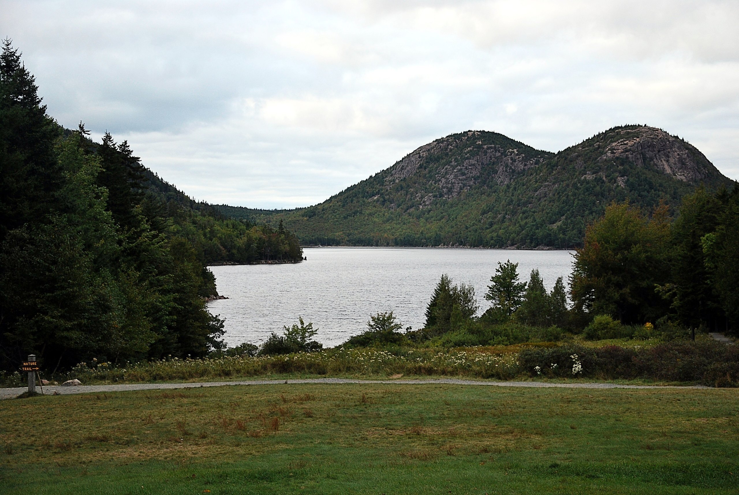
Top 10 things to do in Acadia National Park
Acadia is small for a national park and easy to get around: most of it is on Mount Desert Island in Maine, where granite hills come straight down to the Atlantic and most of it is within half an hour of the town of Bar Harbor. These are the ten outings we would put first. The order starts with what the park is known for, then goes by what an outing gives back for the time and effort it takes. Distances are National Park Service figures; times are our estimates and do not include stops.
Parking is the hard part of a summer or October day here. Lots at Jordan Pond, Sand Beach and the popular trailheads fill by mid-morning. The free Island Explorer bus runs from late June to mid-October and reaches most places on this list.
1. Watch sunrise from Cadillac Mountain
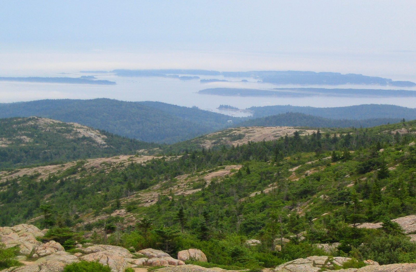
Cadillac Mountain is the highest point on the North Atlantic seaboard at 1,530 feet (466 m), and from early October to early March it is the first place in the United States to see the sun come up. The summit is bare pink granite with a view over Frenchman Bay and its islands on one side and the island’s lakes and hills on the other. A short paved loop circles the top.
From late May to late October you need a vehicle reservation to drive the summit road, and sunrise slots are booked separately from daytime ones. Some are released 90 days ahead and the rest two days ahead. Or walk up: the North Ridge Trail climbs open granite with views most of the way. It is cold and windy on top before dawn, even in August.
- Distance: 3.5 miles (5.6 km) by road; 4.4 miles (7.1 km) round trip on the North Ridge Trail
- Climb: about 1,100 feet (340 m) on foot
- Allow: 1.5 hours by car; 3 hours on foot
- Start: Cadillac Summit Road, off the Park Loop Road; the North Ridge Trailhead is on the Park Loop Road nearby
- When: the road is open from about mid-April to November; sunset is an easier reservation to get than sunrise
- Suits: everyone by car; steady walkers on the trail
2. Walk the Ocean Path from Sand Beach to Otter Point
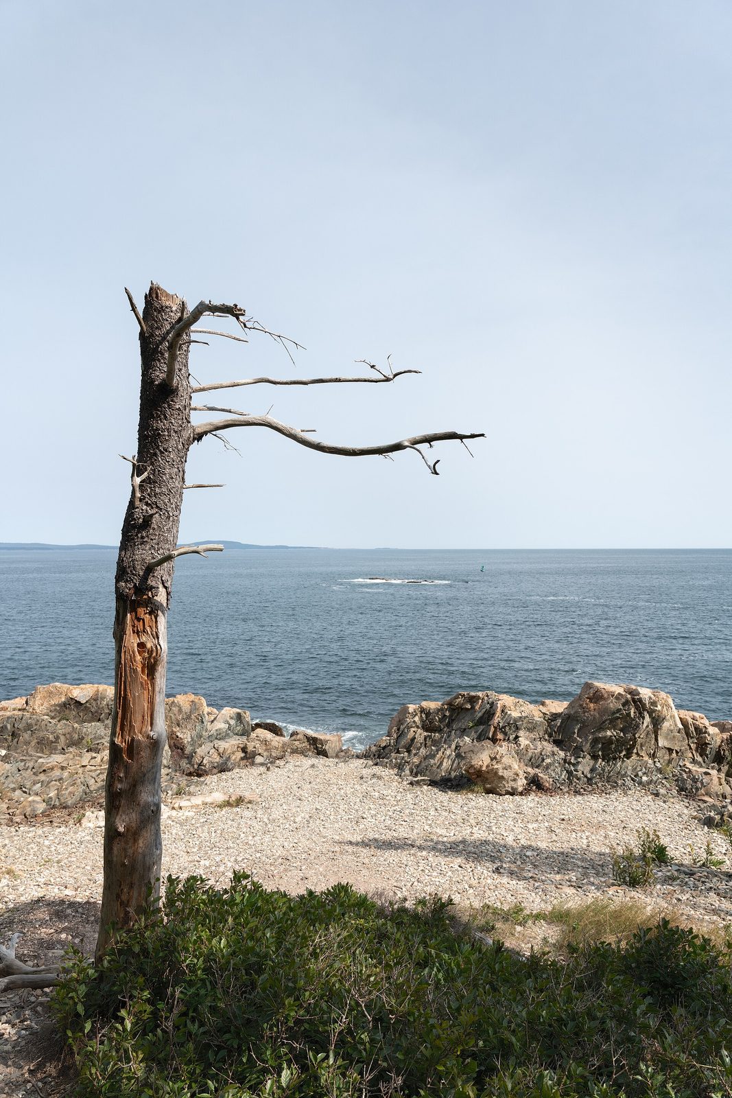
This shore path takes in the park’s best-known stretch of coast on nearly level ground. It starts at Sand Beach, a pocket of sand made largely of crushed shell between granite headlands, where the water stays around 55°F (13°C) all summer. Less than a mile on is Thunder Hole, a narrow slot in the rock where incoming waves trap air and force it out with a boom and a burst of spray. It performs best one to two hours before high tide with a swell running, and is often silent otherwise. The path ends beyond Otter Cliff, which stands about 110 feet (34 m) over the sea.
Waves have swept people off these rocks. Stay well back when the sea is rough, and off wet, dark rock at any time.
- Distance: 2.2 miles (3.5 km) one way
- Allow: 2 to 3 hours out and back; the bus can bring you back from Otter Point
- Start: Sand Beach parking area, on the Park Loop Road
- When: all year; check a tide table for Thunder Hole
- Suits: everyone. The path is beside the road, so any part of it can be walked alone.
3. Circle Jordan Pond
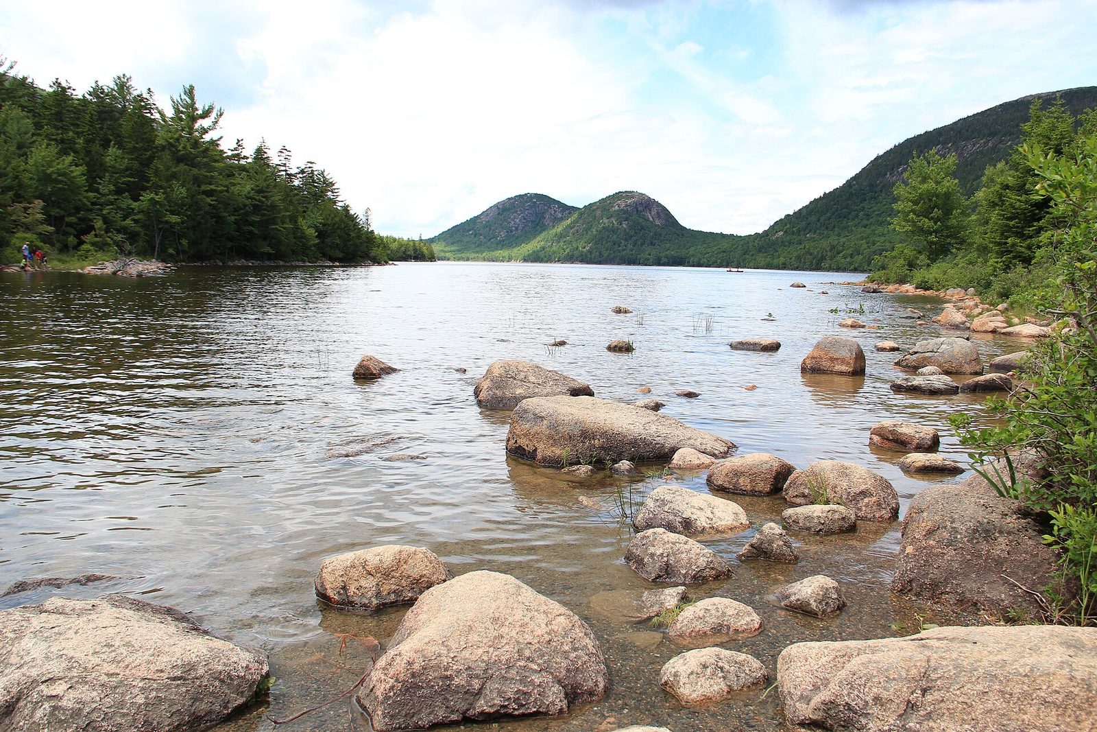
Jordan Pond is a clear glacial lake under two rounded hills called the Bubbles, and the view up it from the south shore is the best known in the park’s interior. The path around it is level gravel on the east side and, on the west, a long run of raised log boardwalk followed by a stretch over boulders. For a view from above, a short, steep trail climbs South Bubble to Bubble Rock, a boulder the glaciers left balanced at the edge of a cliff.
Jordan Pond House, at the south end, has served tea and popovers on its lawn since the 1890s, and people wait an hour or more for a table in summer. The pond is a public water supply: no swimming or wading.
- Distance: a loop of 3.6 miles (5.8 km)
- Allow: 1.5 to 2 hours; an hour more with South Bubble
- Start: Jordan Pond House, on the Park Loop Road. The lot fills early; take the bus.
- When: May to October; mid-October for fall colour
- Suits: most walkers. The boardwalk is narrow, and the boulder stretch needs sure feet.
4. Drive the Park Loop Road
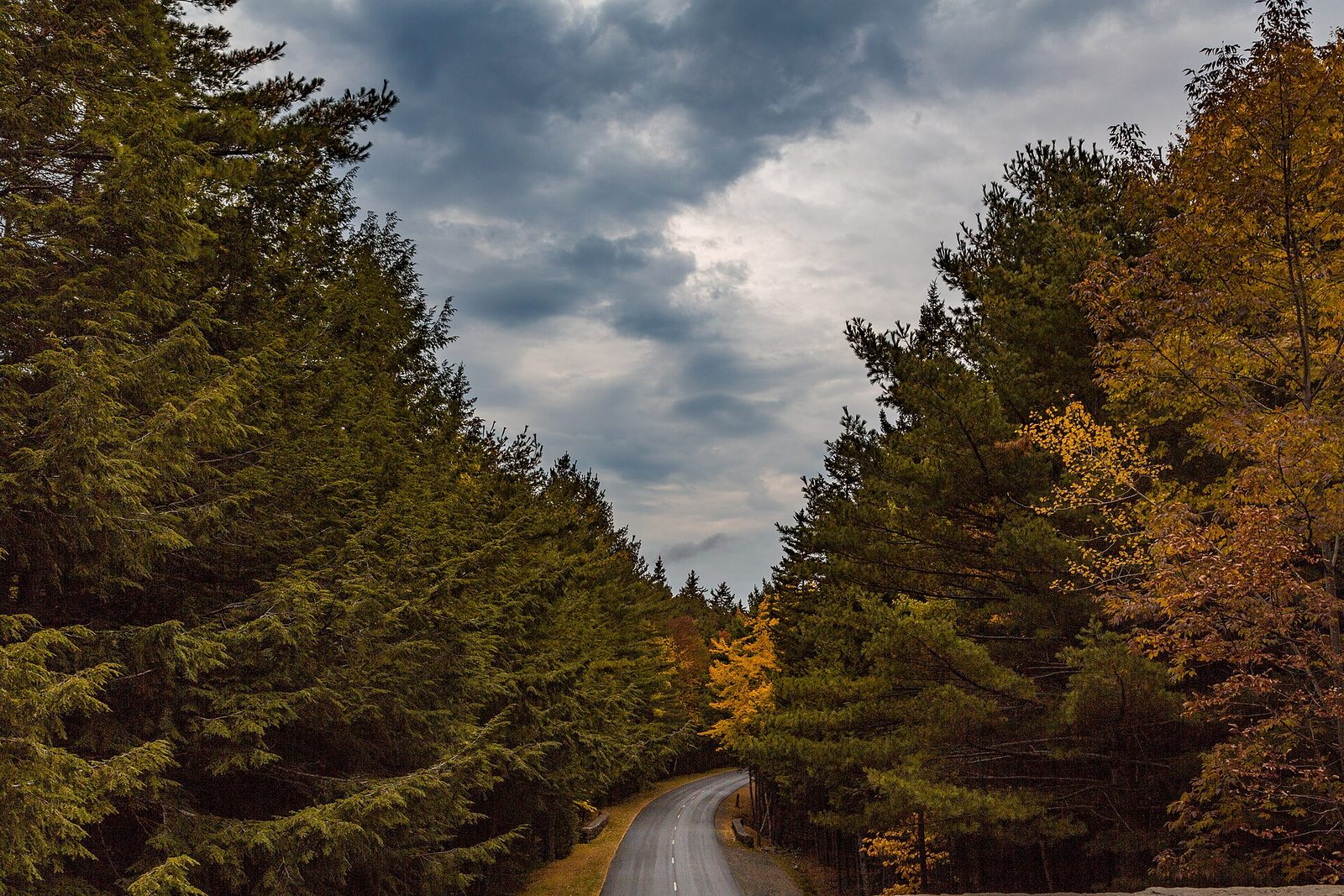
The Park Loop Road links most of the park’s best-known places in 27 miles (43 km): Sand Beach, Thunder Hole, Otter Cliff, Jordan Pond and the turn for Cadillac Mountain. Much of it is one-way, and on the ocean section you may park in the right-hand lane, so stopping is easy. It was laid out in the 1920s and 1930s with help from the landscape architect Frederick Law Olmsted Jr., to show the coast and then the mountains in turn. Drive it early on your first day to get your bearings, then come back to the parts you liked on foot or by bus.
- Distance: 27 miles (43 km)
- Allow: 3 to 4 hours with stops
- Start: Hulls Cove Visitor Center, north of Bar Harbor
- When: mid-April to November. Most of the road is closed to cars in winter.
- Suits: everyone. Tall vehicles should check the bridge clearances first.
5. Cycle the carriage roads
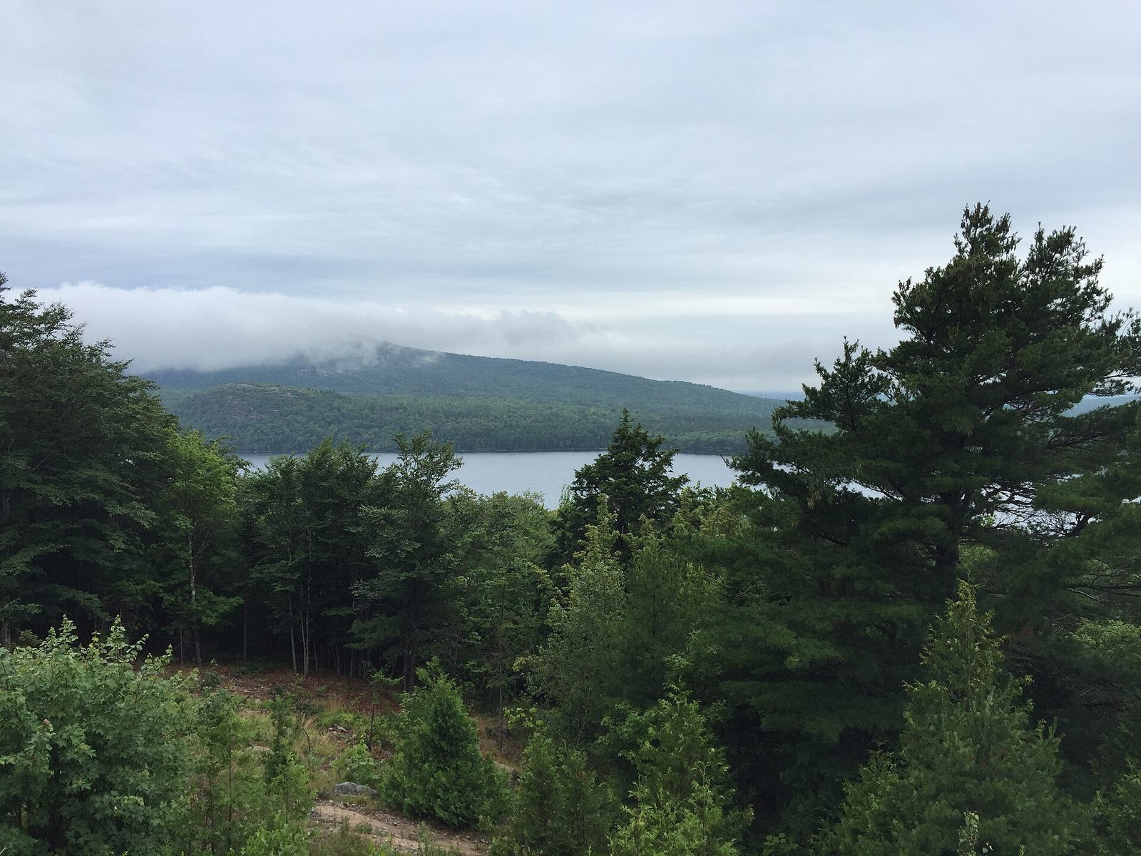
John D. Rockefeller Jr. did not want cars on the island, and between 1913 and 1940 he paid for about 45 miles (72 km) of broken-stone roads through the hills for horses and carriages. They are still closed to motor vehicles. The grades are gentle, the surface is firm, and the roads cross 16 stone bridges, each one different. The loop around Eagle Lake is the usual first ride. Bikes are rented in Bar Harbor, and the bus carries them to the lake.
Walkers and horses use the roads too: keep right, slow down to pass, and give way to horses. In winter, when there is snow, some of the roads are groomed for cross-country skiing.
- Distance: 6 miles (9.7 km) around Eagle Lake; about 45 miles (72 km) in all
- Allow: 1.5 hours for Eagle Lake; a day to ride far
- Start: Eagle Lake, on Route 233 west of Bar Harbor, or Hulls Cove Visitor Center
- When: May to October. The roads close in spring while the surface is soft.
- Suits: families and casual riders; walkers as well
6. Climb the iron rungs of the Beehive
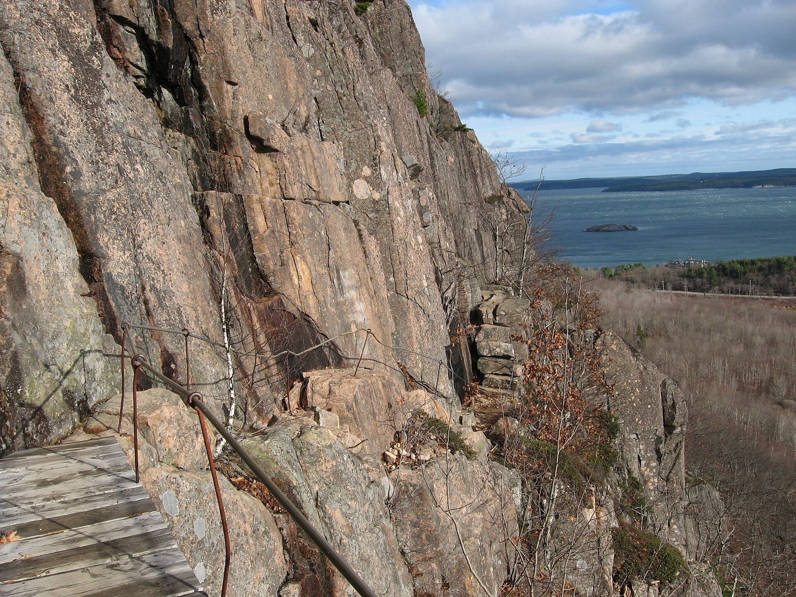
Acadia has a handful of trails that go straight up cliffs on iron rungs, ladders and narrow ledges, built a century ago. The Beehive, above Sand Beach, is the short one: half an hour of exposed climbing to a summit looking down on the beach, then an easy walk down the back past a small pond called the Bowl. The Precipice, on the east face of Champlain Mountain, is longer, steeper and more exposed, and is closed from spring to mid-August most years while peregrine falcons nest on the cliff.
These are climbs, not walks. People have been badly hurt and killed in falls on these trails. Do not take small children or dogs, do not go up in rain or ice, and do not come down the way you went up.
- Distance: a loop of about 1.4 miles (2.3 km) for the Beehive
- Climb: about 450 feet (140 m)
- Allow: 1 to 1.5 hours
- Start: the Bowl Trailhead, across the Park Loop Road from Sand Beach
- When: May to October, in dry weather
- Suits: sure-footed hikers with no fear of heights
7. See Bass Harbor Head Light at sunset
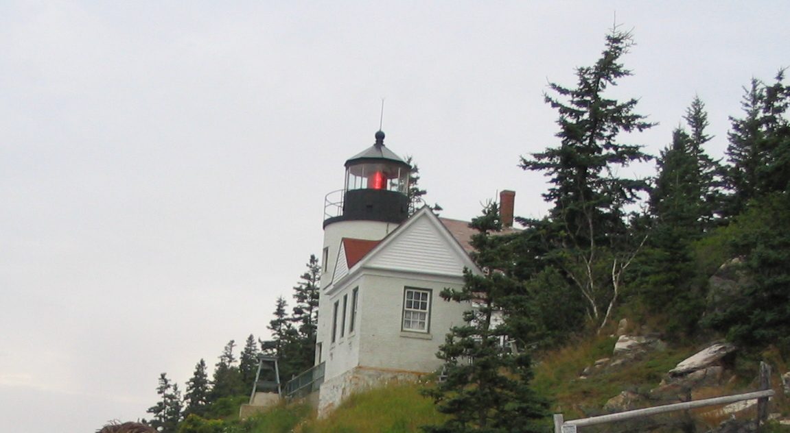
The lighthouse at the island’s southwest corner has stood on its cliff since 1858, and the view of it from the rocks below, with the sun going down behind, is one of the most photographed in Maine. The tower is not open, and the keeper’s house is a private residence. A short paved path leads to the front of the light; on the other side, a path and a wooden stair go down to the rocks where the photographers stand. The parking area is small and fills well before sunset.
- Distance: a few hundred yards on either path
- Allow: 1 hour, plus 40 minutes’ drive from Bar Harbor
- Start: the end of Lighthouse Road, off Route 102A near Bass Harbor
- When: all year. The rocks are slippery when wet.
- Suits: everyone to the light; the rocks need steady feet
8. Walk across to Bar Island at low tide
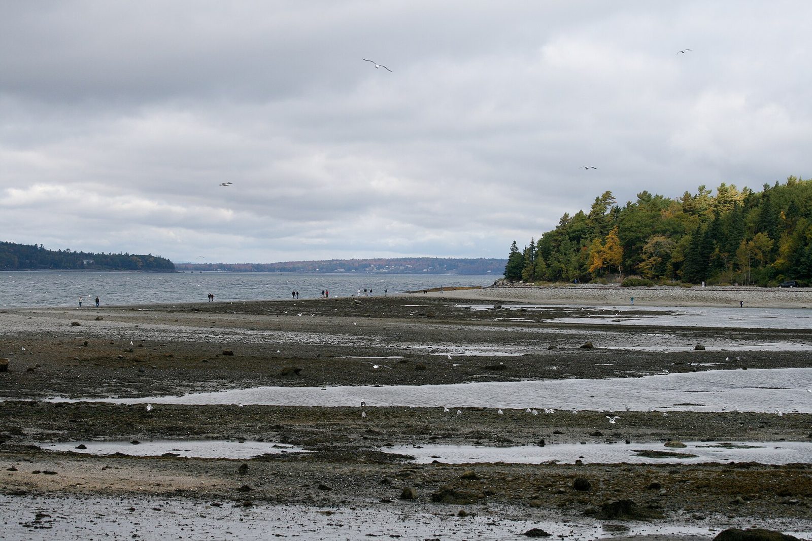
For about an hour and a half either side of low tide, a gravel bar rises out of the harbour and joins Bar Harbor to a small wooded island. You walk across the sea floor, past tide pools, then up a trail through the forest to a clearing that looks back over the town to the mountains. It starts at the foot of a town street and needs no car. Check the tide table before you set out, and start back in good time: people who misjudge it wait about nine hours for the next low tide or pay for a boat.
- Distance: about 2 miles (3.2 km) round trip
- Allow: 1 to 1.5 hours
- Start: the end of Bridge Street, Bar Harbor
- When: all year, within an hour and a half of low tide
- Suits: families, and anyone with a spare hour in town
9. Loop over Great Head
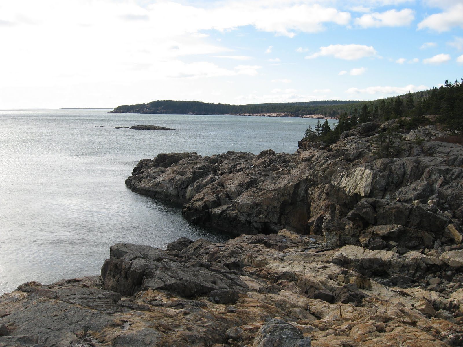
Great Head is the headland at the east end of Sand Beach, and the trail over it gives cliff-top views of the open Atlantic for much less effort than the mountain trails. The loop climbs from the beach over granite ledges, follows the edge of the cliffs with Sand Beach and the Beehive behind you, and returns through birch and spruce. There is some easy scrambling on bare rock.
- Distance: a loop of under 2 miles (3 km)
- Allow: 1 to 1.5 hours
- Start: the far end of Sand Beach
- When: May to October. A stream crosses the beach on the way, and may need wading near high tide.
- Suits: most walkers comfortable on uneven rock
10. Spend a day on the Schoodic Peninsula
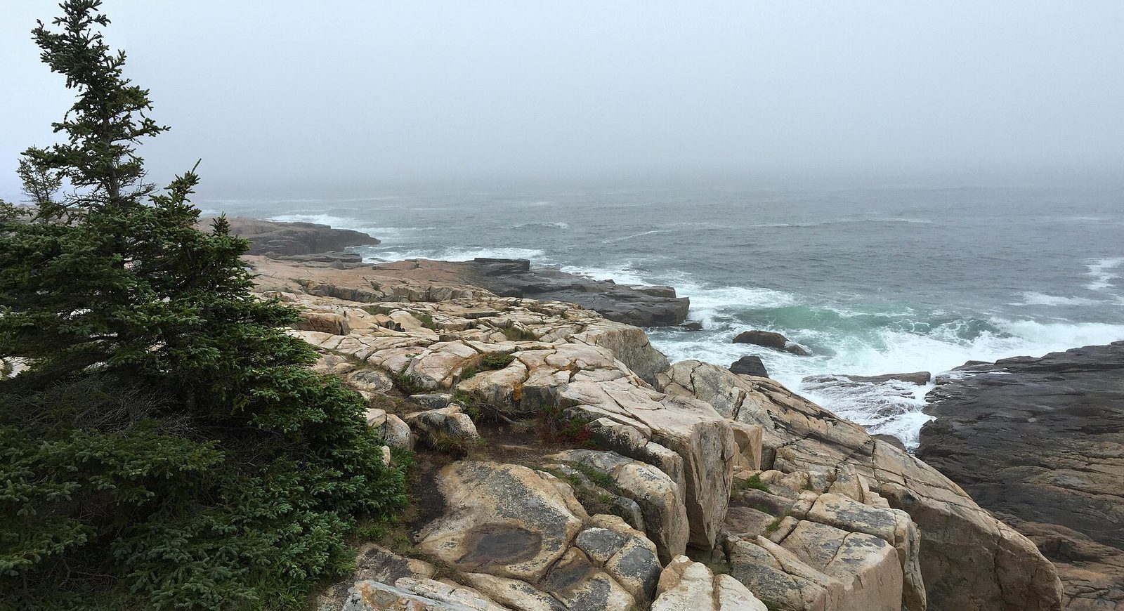
Schoodic is the one part of the park on the mainland, about an hour’s drive from Bar Harbor, and it gets a small share of the visitors. A one-way road follows the shore to Schoodic Point, where black dikes of basalt cut through pink granite and the swell breaks straight onto the ledges. Gravel bike paths cross the peninsula’s interior, and short trails climb Schoodic Head for a view back to Mount Desert Island. In summer a passenger ferry runs from Bar Harbor to Winter Harbor and connects with the bus.
- Distance: a one-way loop road of about 6 miles (10 km)
- Allow: a full day from Bar Harbor
- Start: Schoodic Loop Road, from Route 186 near Winter Harbor
- When: May to October; after a storm at sea for the biggest surf, watched from well back
- Suits: anyone who wants the coast without the crowds
Before you go
This list covers what stays the same from year to year. Reservation dates, road openings, falcon closures and bus schedules change, and the National Park Service posts them on its own site. The link is on our Acadia National Park guide, with the map, passes and how to get there.