

Virgin Islands National Park
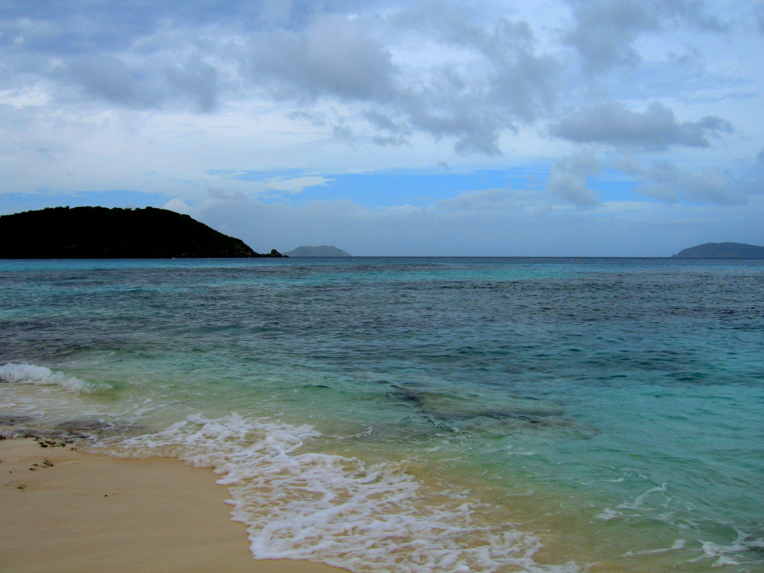
Virgin Islands National Park cloaks roughly two-thirds of the island of St. John in the Caribbean, a tropical paradise of powder-white beaches, turquoise bays, coral reefs and forested hills. Protecting both a stunning marine world and the historic landscape of sugar plantations and ancient petroglyphs, it offers world-class snorkeling and hiking in one of the most beautiful corners of the United States.
Fast facts
- Established: 1956
- Size: about 15,000 acres (60 km²), covering much of St. John plus surrounding waters
- Underwater: a protected coral-reef and seagrass world offshore
- Highlights: Trunk Bay, the underwater snorkel trail, and Reef Bay’s petroglyphs
- Gateway: St. Thomas, then ferry to St. John, U.S. Virgin Islands
- Managed by: National Park Service
The landscape
St. John rises steep and green from the Caribbean, its hills of dry tropical forest dropping to a coast of white-sand beaches and coral-fringed bays. The park protects this land-and-sea mosaic, reefs, seagrass meadows and mangroves alive with fish and sea turtles, forested ridges laced with trails, and the stone ruins of the island’s colonial sugar era amid the trees.
Best time to go
The dry season, roughly December through April, brings the most reliable sunshine and calmest seas, the peak time to visit. Summer and fall are hotter and wetter, and the Atlantic hurricane season runs June through November, so watch tropical forecasts. The water stays warm and inviting year-round.
Getting there and around
St. John has no airport, so visitors fly into St. Thomas and take a short ferry across. The park covers much of the island, reached by the island roads, a rental vehicle or taxis help, and many of the best beaches and trailheads are along the North Shore Road. Boats and kayaks open up the quieter bays.
Things to do
Snorkel the reefs, the underwater trail at Trunk Bay is a classic, and relax on beaches like Cinnamon and Maho bays. Hike the Reef Bay Trail past sugar-mill ruins and petroglyphs, sea kayak or sail to hidden coves, and explore the island’s history and tropical forest between swims.
Staying safe
Ocean currents and surf can be strong at some beaches, so heed conditions and snorkel within your ability. Tropical sun and heat are intense, use reef-safe sunscreen, shade and plenty of water, and watch for sea urchins and other marine hazards. During hurricane season, follow tropical forecasts closely.
Know before you go
There is no general entrance fee, but Trunk Bay and some moorings charge fees, check current requirements, and carry water and reef-safe sunscreen. This page is a general overview, not a live conditions report; always confirm current conditions, fees and closures with the National Park Service before your trip.
- Coordinates
- 18.3369, -64.8084
- Magnetic declination
- 14.2° W (2026)
Set this declination on your compass, then align it to the map's north lines; it is the angle between true north and magnetic north, refreshed each year.
A spread of the park’s main places shows straight away, and the rest appear as you zoom in. You can also search above, or pick any place from the lists below, and the map will go to it.
On the trail 10
Trailheads
Campground
Sights 69
Viewpoints
Beachs
Heritage sites
Islands
Peaks 22
Map data comes from third-party sources and may be incomplete or out of date, so carry a current official map (terms).
- Best seasons
- Winter, Spring (dry season)
- Difficulty
- Easy to moderate
- Access / trailheads
- On the island of St. John in the U.S. Virgin Islands. Reach St. Thomas by air, then a ferry to St. John; the park covers much of the island.
- Water
- Carry drinking water; potable water is limited on trails and beaches.
- Cell / satellite coverage
- Variable cell service. Download maps.
- Nearest ranger / SAR / emergency
- Contact park rangers; marine emergencies: U.S. Coast Guard; life-threatening emergencies: 911.
- Permits & regulations
- No general entrance fee, but there is a fee at Trunk Bay and for some anchoring/mooring; check current requirements. Much of St. John is protected within the park.
- Leave No Trace
- Do not touch coral, use reef-safe sunscreen, protect turtle nesting beaches, pack out all waste, and follow Leave No Trace.
January
February
March
April
May
June
July
- Hot days
August
- Hot days
September This month
October
November
December
What to bring depends on your trip: how long you’re out, where you sleep, and how far you go from the road. The planner builds the list for yours.
Plan a trip here →Averages for 1991–2020 from NOAA U.S. Climate Normals, measured at the Cyril E King Airport station, 15 miles (24 km) away at sea level. Conditions change with elevation: expect it colder higher up.