

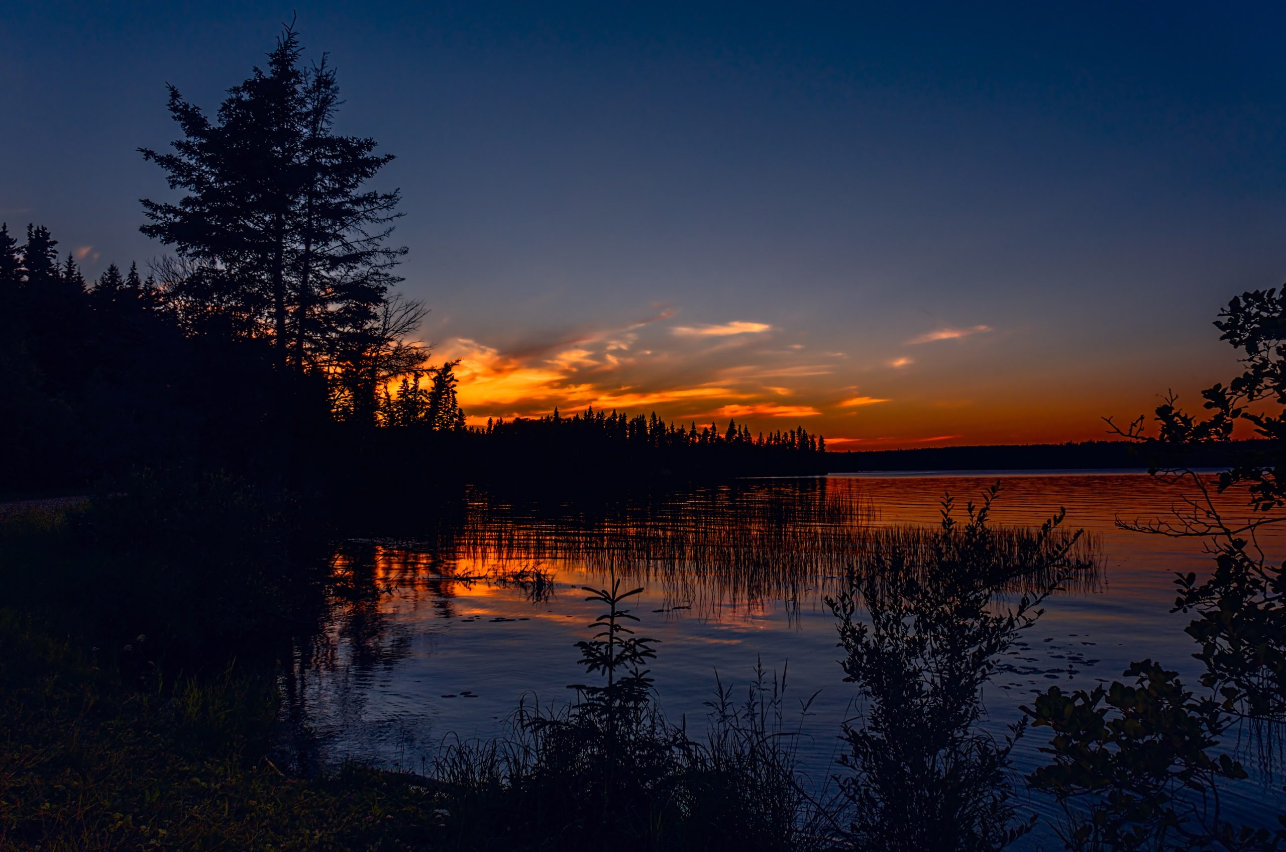
Prince Albert National Park
Prince Albert National Park protects a beautiful cross-section of the Canadian wilderness where the aspen parkland gives way to the great boreal forest of the North. A land of clear lakes, spruce forest and open meadow in central Saskatchewan, it shelters free-ranging bison, a rare colony of white pelicans, and the remote cabin of Grey Owl, the famous conservationist, reachable only by paddle or long hike.
Fast facts
- Established: 1927
- Size: about 1,496 square miles (3,874 km²) in central Saskatchewan
- Landscapes: a transition from aspen parkland to boreal forest
- Notable: a free-ranging plains bison herd and Grey Owl’s cabin at Ajawaan Lake
- Townsite: Waskesiu, Saskatchewan
- Managed by: Parks Canada
The landscape
The park spans a natural boundary: rolling aspen parkland and fescue grassland in the south, giving way to dense boreal forest of spruce, pine and fir in the north, all dotted with lakes, rivers and bogs. This variety supports an unusual range of wildlife, boreal woodland caribou, wolves and black bears, a lowland bison herd, moose, and the pelicans of Lavallée Lake.
Best time to go
Summer is the heart of the season, when Waskesiu buzzes and the lakes are open for paddling and swimming; early fall brings color and quiet. Winter turns the park into a snowshoeing, skiing and skating destination, with the townsite’s services reduced but the boreal forest at its serene, snowy best.
Getting there and around
The park lies north of the city of Prince Albert via Highways 2 and 264, with the resort townsite of Waskesiu on the shore of Waskesiu Lake as the hub for lodging, services and rentals. A vehicle gets you there and to the trailheads and lake accesses; the backcountry is reached by canoe or on foot.
Things to do
Canoe the lakes and rivers, a paddle to Grey Owl’s cabin at Ajawaan Lake is a classic pilgrimage, and hike trails from easy lakeshore loops to longer backcountry routes. Swim and boat at Waskesiu, watch for bison on the Sturgeon River plains and pelicans on the lakes, and camp from the townsite to remote wilderness sites.
Staying safe
Lake water is cold and storms can rise quickly, so wear a life jacket and carry a map and compass to navigate the shorelines and portages. Black bears are present, so store food properly, and ticks and mosquitoes are common in the warm months. Use repellent, check yourself, and carry water.
Know before you go
A Parks Canada pass is required, and camping, especially canoe-in backcountry sites, should be reserved ahead. This page is a general overview, not a live conditions report; always confirm current conditions, reservations and closures with Parks Canada before your trip.
- Coordinates
- 53.9471, -106.3895
- Magnetic declination
- 9.7° E (2026)
Set this declination on your compass, then align it to the map's north lines; it is the angle between true north and magnetic north, refreshed each year.
A spread of the park’s main places shows straight away, and the rest appear as you zoom in. You can also search above, or pick any place from the lists below, and the map will go to it.
Getting there 1
Park entrance
On the trail 12
Campgrounds
Hut or shelter
Picnic site
Sights 10
Viewpoints
Beachs
Point of interests
Island
Map data comes from third-party sources and may be incomplete or out of date, so carry a current official map (terms).
- Best seasons
- Summer, Early fall
- Difficulty
- Easy to strenuous
- Access / trailheads
- In central Saskatchewan north of the city of Prince Albert via Highways 2 and 264; the resort townsite of Waskesiu is the main hub.
- Water
- Lakes and streams throughout; treat all drinking water.
- Cell / satellite coverage
- Patchy cell service away from Waskesiu. Carry a map and compass.
- Nearest ranger / SAR / emergency
- Parks Canada dispatch: 1-877-852-3100; life-threatening emergencies: 911.
- Permits & regulations
- A Parks Canada pass is required; front and backcountry (canoe-in) camping need reservations.
- Leave No Trace
- Store food from bears, camp only at designated sites, pack out all waste, and follow Leave No Trace.
January
- Below freezing all day
February
- Below freezing all day
March
- Below freezing all day
April
- Below-freezing nights
May
June
July
August
September This month
October
- Below-freezing nights
November
- Below freezing all day
December
- Below freezing all day
What to bring depends on your trip: how long you’re out, where you sleep, and how far you go from the road. The planner builds the list for yours.
Plan a trip here →Averages for 1981–2010 from Environment Canada climate normals, measured at the Prince Albert Airport station, 64 miles (104 km) away at 1,405 feet (428 m). That is the nearest station with long-term records, so treat these as a regional guide.