

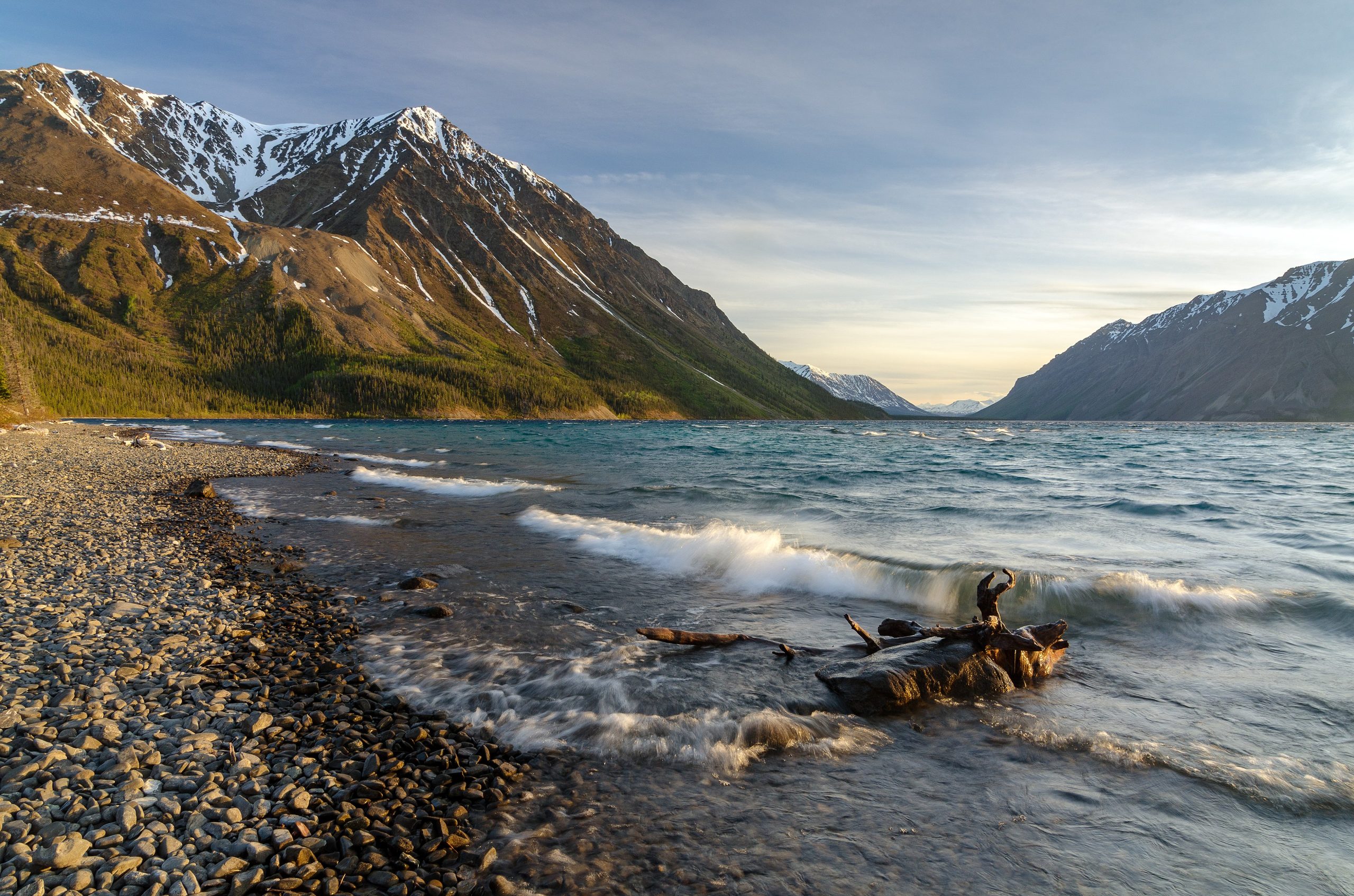
Kluane National Park and Reserve
Kluane is a land of superlatives, home to Mount Logan, Canada’s highest peak, and the largest non-polar icefields on Earth, sprawling across the southwest Yukon. Part of the largest internationally protected area in the world, it is a wilderness of towering mountains, vast glaciers and grizzly-rich valleys, where most of the park’s icy heart can only be glimpsed from the air.
Fast facts
- Established: 1972 (reserve); national park 1976
- Size: about 8,499 square miles (22,013 km²) in the southwest Yukon
- High point: Mount Logan, 19,550 feet (5,959 m), the highest in Canada
- Ice: the largest non-polar icefields in the world
- World Heritage: part of a vast transboundary UNESCO site with Alaska’s Wrangell-St. Elias
- Managed by: Parks Canada
The landscape
A green front range of forested valleys and alpine tundra hides an interior of rock and ice, the St. Elias Mountains and their immense icefields, feeding glaciers that grind toward the lowlands. The accessible eastern edge, along the highways, is prime grizzly, Dall sheep and moose country, while the icy core is the realm of mountaineers and flightseeing pilots.
Best time to go
Summer and early fall are the hiking and paddling season, when the valley trails are clear and the weather is at its (still changeable) best; fall adds color and the first snows on the peaks. The mountaineering season on Logan is spring. Winter is long, cold and dark, with limited access.
Getting there and around
The park is reached along the Alaska and Haines highways in the southwest Yukon, with visitor centres at Haines Junction and Tachal Dhal. A vehicle gets you to the trailheads and viewpoints along the highway corridor; the interior icefields are accessed only by flightseeing charter or serious mountaineering expedition.
Things to do
Hike the front-range trails, the King’s Throne and Sheep Creek among them, and watch for Dall sheep and grizzlies. Take a flightseeing tour over Mount Logan and the icefields for the park’s unforgettable centerpiece, raft the Alsek River on a multi-day expedition, or, for the elite, mountaineer in the St. Elias.
Staying safe
This is grizzly country, so carry bear spray, make noise and store food properly. The icefields are glaciated, crevassed terrain for experienced, equipped parties only; weather turns fast and cold, rivers run swift and frigid, and the backcountry is remote. Carry a satellite communicator and register your trip.
Know before you go
A Parks Canada pass is required, overnight and mountaineering trips need registration, and flightseeing should be booked with local operators. This page is a general overview, not a live conditions report; always confirm current conditions, registration and options with Parks Canada before your trip.
- Coordinates
- 60.6685, -139.0060
- Magnetic declination
- 17.2° E (2026)
Set this declination on your compass, then align it to the map's north lines; it is the angle between true north and magnetic north, refreshed each year.
A spread of the park’s main places shows straight away, and the rest appear as you zoom in. You can also search above, or pick any place from the lists below, and the map will go to it.
Getting there 2
Visitor centre
Ranger station
On the trail 4
Trailhead
Campgrounds
Sights 60
Point of interests
Peaks 30
Map data comes from third-party sources and may be incomplete or out of date, so carry a current official map (terms).
- Best seasons
- Summer, Early fall
- Difficulty
- Easy to strenuous
- Access / trailheads
- In the southwest Yukon along the Alaska and Haines highways; the Haines Junction and Tachal Dhal (Sheep Mountain) centres are the main access points.
- Water
- Abundant rivers and streams; filter or treat all water.
- Cell / satellite coverage
- Little to no cell service in the backcountry. Carry a satellite communicator.
- Nearest ranger / SAR / emergency
- Parks Canada dispatch: 1-877-852-3100; life-threatening emergencies: 911.
- Permits & regulations
- A Parks Canada pass is required; overnight backcountry trips need registration, and mountaineering on the icefields requires special registration and experience.
- Leave No Trace
- Use bear-proof storage, stay on durable ground, pack out everything, and follow Leave No Trace.
January
- Below freezing all day
February
- Below freezing all day
March
- Below freezing all day
- Day-to-night swing of 31°F (17°C)
April
- Below-freezing nights
May
- Below-freezing nights
June
July
August
September This month
- Below-freezing nights
October
- Below-freezing nights
November
- Below freezing all day
December
- Below freezing all day
What to bring depends on your trip: how long you’re out, where you sleep, and how far you go from the road. The planner builds the list for yours.
Plan a trip here →Averages for 1981–2010 from Environment Canada climate normals, measured at the Burwash Airport station, 48 miles (78 km) away at 2,645 feet (806 m). Conditions change with elevation: expect it colder higher up.