

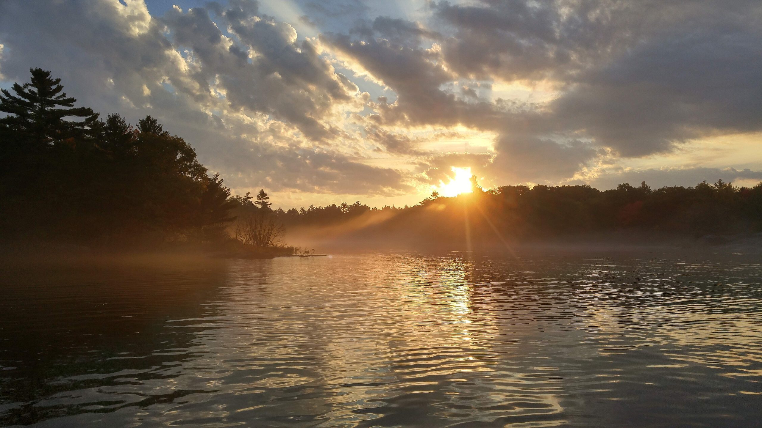
Georgian Bay Islands National Park
Georgian Bay Islands National Park protects a scattering of wind-sculpted islands in the world’s largest freshwater archipelago, the iconic landscape of pink granite, windswept pines and blue water immortalized by Canada’s Group of Seven painters. Reached only by boat, its largest island, Beausoleil, offers a classic Canadian mix of Shield rock, forest trails and warm swimming coves.
Fast facts
- Established: 1929
- Size: about 5.2 square miles (13.5 km²) across 63 islands and islets
- Main island: Beausoleil, with trails and campgrounds
- Setting: Georgian Bay, part of the world’s largest freshwater archipelago
- Gateway: Honey Harbour, Ontario
- Managed by: Parks Canada
The landscape
The islands sit on the Canadian Shield, and Beausoleil captures the region’s split personality: the rugged, glacier-scoured pink granite and windswept pines of the north end, and the softer hardwood forest, wetlands and sandy coves of the south. The waters and shores shelter a rich array of wildlife, including the rare eastern massasauga rattlesnake and abundant birds and turtles.
Best time to go
Summer is the heart of the season, with warm water for swimming, full boat service and open campgrounds. Early fall brings color and quiet. Outside the warm months the park boat stops running and access depends on private boats, so most visits happen from late spring through early fall.
Getting there and around
The park is islands-only, reached from Honey Harbour. Most visitors take the small DayTripper park boat to Beausoleil Island or arrive by private boat or kayak; there is no road access. Once on Beausoleil, you get around on foot along its trail network, and other islands are reached by paddling or boating.
Things to do
Hike Beausoleil’s trails from the smooth granite of the north to the forested south, swim in the clear coves, and paddle among the islands by kayak or canoe. Boat-in camping, including cozy cabins and yurts, lets you overnight, and the Group of Seven scenery makes it a photographer’s delight.
Staying safe
Georgian Bay is big, cold water where storms can rise fast, so paddlers and boaters need proper gear, a float plan and weather awareness. The massasauga rattlesnake, Ontario’s only venomous snake, lives here, give it space, and ticks are present, while the smooth granite shorelines get slippery when wet.
Know before you go
A Parks Canada pass is required, and because access is by boat, plan your crossing and reserve any camping ahead. This page is a general overview, not a live conditions report; always confirm current boat schedules, conditions and reservations with Parks Canada before your trip.
- Coordinates
- 44.9703, -79.9627
- Magnetic declination
- 10.0° W (2026)
Set this declination on your compass, then align it to the map's north lines; it is the angle between true north and magnetic north, refreshed each year.
A spread of the park’s main places shows straight away, and the rest appear as you zoom in. You can also search above, or pick any place from the lists below, and the map will go to it.
Getting there 1
Ranger station
On the trail 15
Campgrounds
Picnic site
Sights 43
Viewpoint
Waterfalls
Beachs
Point of interest
Islands
Peak
Map data comes from third-party sources and may be incomplete or out of date, so carry a current official map (terms).
- Best seasons
- Summer, Early fall
- Difficulty
- Easy to moderate
- Access / trailheads
- In Georgian Bay off Honey Harbour, Ontario. The main island, Beausoleil, is reached by the DayTripper park boat or private boat; there is no road access to the islands.
- Water
- Potable water is limited; carry drinking water to the islands.
- Cell / satellite coverage
- Patchy cell service on the water and islands.
- Nearest ranger / SAR / emergency
- Marine emergencies via the Canadian Coast Guard; life-threatening emergencies: 911.
- Permits & regulations
- A Parks Canada pass is required; the park is islands-only, so most sites are reached by the park boat or private vessel, and camping requires a reservation.
- Leave No Trace
- Camp only at designated sites, give rattlesnakes space, pack out all waste, and follow Leave No Trace.
January
- Below freezing all day
February
- Below freezing all day
March
- Below-freezing nights
April
- Below-freezing nights
May
June
July
August
September This month
October
November
- Below-freezing nights
December
- Below freezing all day
What to bring depends on your trip: how long you’re out, where you sleep, and how far you go from the road. The planner builds the list for yours.
Plan a trip here →Averages for 1981–2010 from Environment Canada climate normals, measured at the Muskoka Airport station, 28 miles (46 km) away at 925 feet (282 m).