

Kootenay National Park
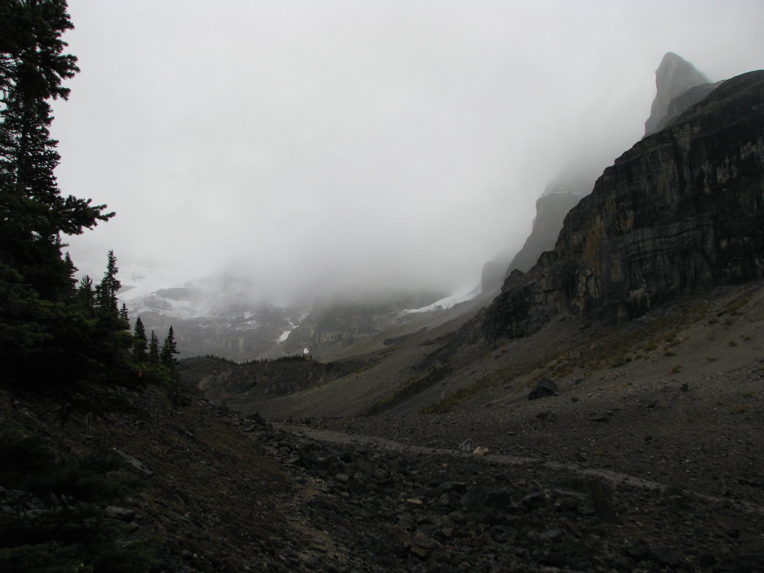
Kootenay is the Canadian Rockies distilled into a single scenic highway, a park that runs “from glaciers to cactus,” dropping from icy alpine passes to the warm, dry Columbia Valley in the space of a drive. Part of the Canadian Rocky Mountain Parks World Heritage Site, it pairs classic peak-and-canyon hiking with the mineral pools of Radium Hot Springs at its southern gate.
Fast facts
- Established: 1920
- Size: about 543 square miles (1,406 km²) of the Canadian Rockies
- Range of life zones: from alpine glaciers to semi-arid grassland
- World Heritage: part of the Canadian Rocky Mountain Parks UNESCO site
- Southern gateway: Radium Hot Springs, British Columbia
- Managed by: Parks Canada
The landscape
The park follows the Vermilion and Kootenay river valleys through a striking gradient, snow-capped peaks and hanging glaciers in the north, deep-cut canyons like Marble Canyon, ochre mineral springs at the Paint Pots, and increasingly dry, open forest toward the Columbia Valley in the south. Grizzly and black bears, elk, bighorn sheep and mountain goats live across the range, and past wildfires have left a patchwork of regenerating forest.
Best time to go
Summer (July to September) is prime for hiking, once the high trails clear of snow, with long days and alpine wildflowers. Early fall brings golden larch and stable weather. Winter is quiet, with the parkway kept open but high country given over to snow; Radium Hot Springs stays a warm draw year-round.
Getting there and around
Highway 93 South, the Kootenay Parkway, runs the length of the park between Castle Junction on the Trans-Canada Highway and Radium Hot Springs, and it is how visitors arrive and move through. Trailheads, viewpoints and the major sights sit just off the road; there is no public transit within the park, so a vehicle is essential.
Things to do
Short, high-reward stops include Marble Canyon and the Paint Pots, while day hikes like Stanley Glacier and the Kindersley–Sinclair loop climb into the high country. Backpackers head for the Rockwall Trail, one of the great multi-day routes in the Rockies. Cap a day with a soak at Radium Hot Springs, and watch for wildlife along the valley bottoms at dawn and dusk.
Staying safe
This is bear country. Carry bear spray, make noise, travel in groups and store food properly. Mountain weather turns quickly, so pack insulation and a shell even in summer, and start alpine days early. Rivers run cold and fast with meltwater, winter and shoulder seasons bring avalanche terrain, and wildfire can force sudden closures. Check status before you go and carry a satellite messenger where cell service fails.
Know before you go
A Parks Canada pass is required, and backcountry camping, especially on the popular Rockwall, needs permits booked well ahead. Check for fire bans and trail closures before your trip. This page is a general overview, not a live conditions report; always confirm current conditions, closures and permits with Parks Canada before your trip.
- Coordinates
- 50.9419, -116.0815
- Magnetic declination
- 14.0° E (2026)
Set this declination on your compass, then align it to the map's north lines; it is the angle between true north and magnetic north, refreshed each year.
A spread of the park’s main places shows straight away, and the rest appear as you zoom in. You can also search above, or pick any place from the lists below, and the map will go to it.
On the trail 23
Trailheads
Campgrounds
Hut or shelter
Picnic sites
Sights 43
Viewpoints
Waterfalls
Heritage site
Point of interests
Peaks 30
Map data comes from third-party sources and may be incomplete or out of date, so carry a current official map (terms).
- Best seasons
- Summer, Early fall (shoulder)
- Difficulty
- Easy to strenuous
- Access / trailheads
- Runs along Highway 93 South (the Kootenay Parkway) between Castle Junction on the Trans-Canada and Radium Hot Springs, BC. Trailheads and viewpoints line the highway.
- Water
- Abundant rivers and streams; filter or treat all backcountry water.
- Cell / satellite coverage
- Little to no cell service along the parkway. Carry a map and a satellite messenger.
- Nearest ranger / SAR / emergency
- Parks Canada dispatch: 1-877-852-3100; life-threatening emergencies: 911.
- Permits & regulations
- A Parks Canada pass is required; backcountry camping needs a permit booked ahead, and seasonal fire or trail closures may apply.
- Leave No Trace
- Use bear-proof storage, pack out all waste, stay on trail, and follow Leave No Trace.
January
- Below freezing all day
- Avalanche terrain
February
- Below freezing all day
- Avalanche terrain
March
- Below-freezing nights
- Avalanche terrain
April
May
June
July
August
September This month
October
November
- Below-freezing nights
- Avalanche terrain
December
- Below freezing all day
- Avalanche terrain
What to bring depends on your trip: how long you’re out, where you sleep, and how far you go from the road. The planner builds the list for yours.
Plan a trip here →Averages for 1981–2010 from Environment Canada climate normals, measured at the Kootenay National Park West Gate station, 30 miles (49 km) away at 3,068 feet (935 m). Conditions change with elevation: expect it colder higher up.