

Top 10 things to do in North Cascades National Park
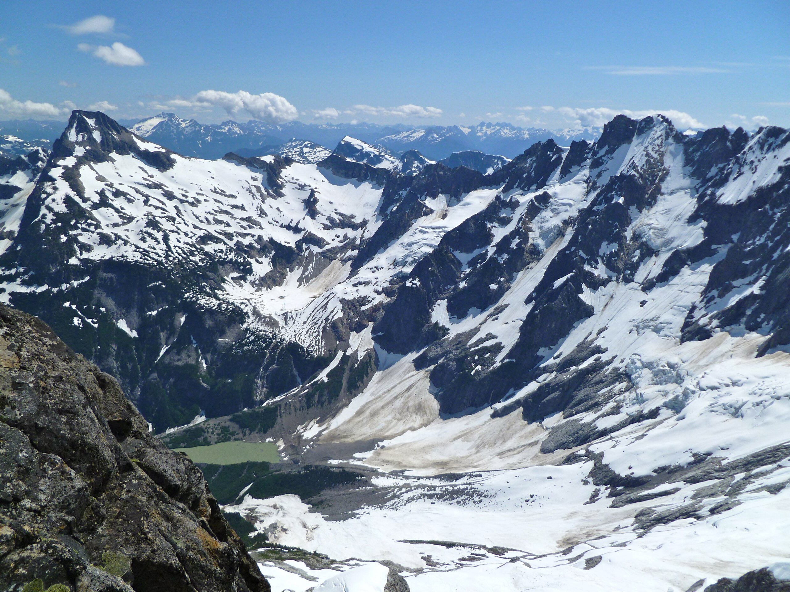
North Cascades National Park, in northern Washington near the Canadian border, is a wilderness of jagged peaks, deep valleys and more than 300 glaciers, the most of any park in the lower 48 states, so rugged that it is often called the American Alps. The park itself has almost no roads: most visitors see it from the North Cascades Highway, which runs through the neighbouring Ross Lake National Recreation Area past turquoise lakes and forests of giant cedar, or from the trails that climb from it into the mountains. These are the ten outings we would put first. The order starts with what the park is known for, then goes by what an outing gives back for the time and effort it takes. Distances are approximate; times are our estimates and do not include stops.
Snow lingers on the high trails well into July, and avalanche slopes can be dangerous to cross early in the season. Weather in the mountains changes quickly, with rain, cold and fog in any month. Black bears and some grizzlies live here, so store food properly. The North Cascades Highway closes over the passes in winter, usually from late fall to spring.
1. Stop at the Diablo Lake Overlook
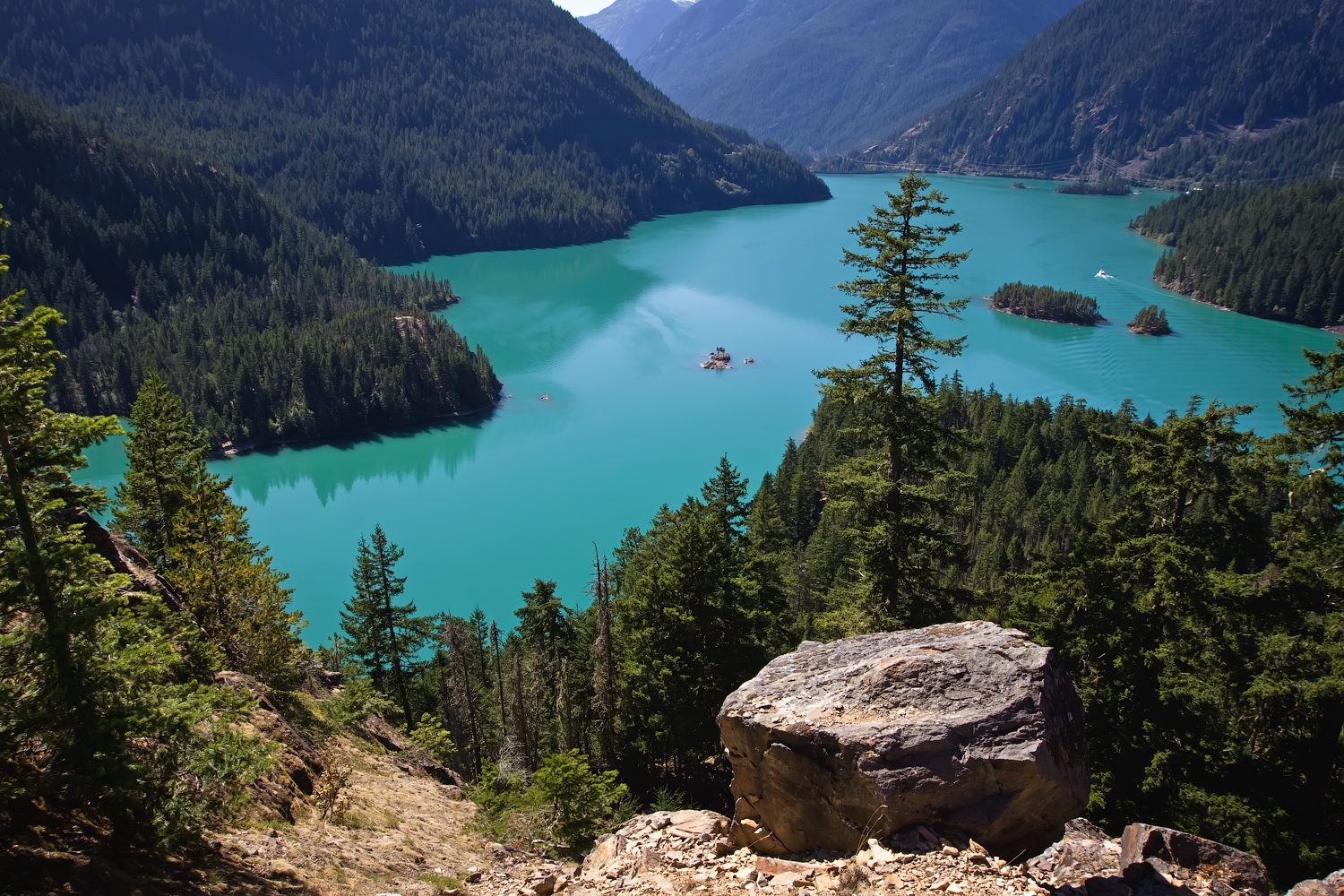
From this viewpoint on the North Cascades Highway, Diablo Lake lies below in a brilliant turquoise, the colour of glacial flour, rock ground fine by the glaciers and carried in by the streams, with forested ridges and snowy peaks rising around it. It is the most photographed view in the park, and the best place to stop on the drive.
- Allow: 20 minutes
- Start: Diablo Lake Overlook, on the North Cascades Highway (SR 20)
- When: spring to fall, while the highway is open
- Suits: everyone
2. Hike to Cascade Pass and up Sahale Arm
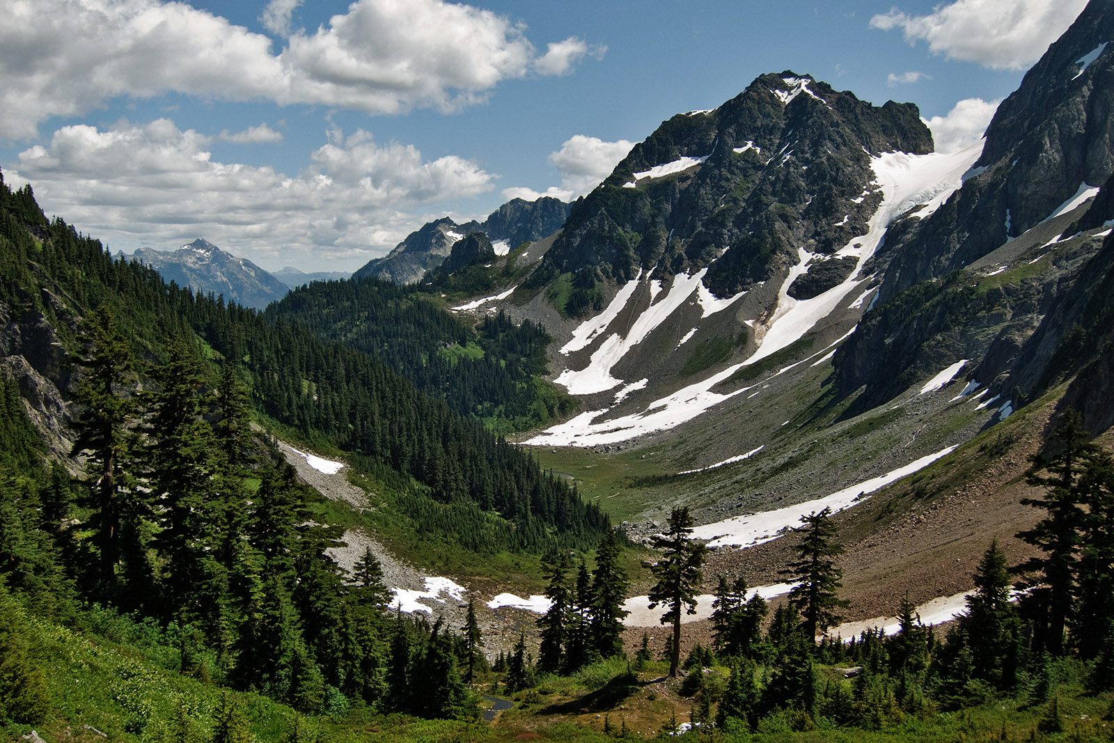
The park’s most famous hike climbs in long switchbacks through forest to Cascade Pass, a meadow high in the mountains with glaciers hanging on the peaks all around and marmots and mountain goats nearby. Strong hikers continue up Sahale Arm, a steep ridge of heather and flowers, to the edge of the Sahale Glacier, with one of the finest views in the Cascades. The trailhead is at the end of a long gravel road.
- Distance: 7.4 miles (11.9 km) round trip to Cascade Pass; about 12 miles (19 km) round trip with Sahale Arm
- Climb: about 1,800 feet (550 m) to the pass; about 4,000 feet (1,200 m) with Sahale Arm
- Allow: 4 to 5 hours; a long day with Sahale Arm
- Start: Cascade Pass trailhead, at the end of the Cascade River Road from Marblemount
- When: mid-July to September
- Suits: fit hikers
3. Drive the North Cascades Highway
The North Cascades Highway (State Route 20) crosses the range through some of the most spectacular mountain scenery of any road in the country, past the dams and turquoise lakes of the Skagit River, through deep forest and up to Rainy Pass and Washington Pass, with towering granite spires above. Pullouts and short trails line the route. It is the only road across the mountains for many miles.
- Distance: about 70 miles (110 km) from Marblemount to Mazama
- Allow: half a day with stops
- Start: Marblemount, or Winthrop on the east side
- When: about late spring to late fall; closed over the passes in winter
- Suits: everyone
4. Walk the Thunder Knob Trail
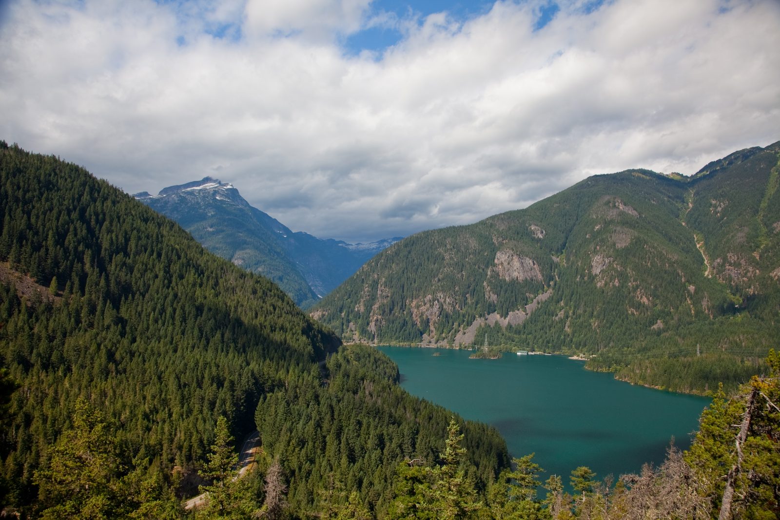
From Colonial Creek Campground on Diablo Lake, this gentle trail climbs through forest to a rocky knob with views across the turquoise lake to the glaciated peaks of Colonial and Pyramid, and down the lake to the dam. It is the best short hike along the highway, and a good one for families.
- Distance: 3.3 miles (5.3 km) round trip
- Climb: about 650 feet (200 m)
- Allow: 2 hours
- Start: Colonial Creek Campground, on the North Cascades Highway
- When: spring to fall
- Suits: most walkers
5. Walk the Trail of the Cedars and see Ladder Creek Falls
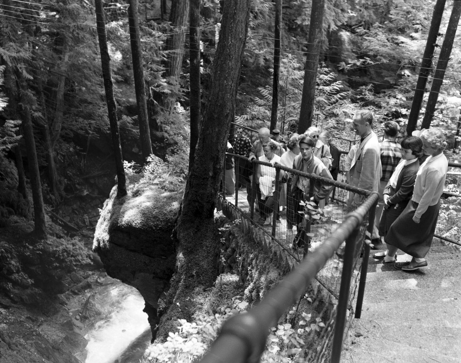
In the company town of Newhalem, a suspension bridge over the Skagit River leads to the Trail of the Cedars, a short loop through old-growth western red cedar and Douglas fir. Nearby, behind the old Gorge powerhouse, a trail climbs beside Ladder Creek Falls through gardens planted in the 1920s, and after dark the falls are lit with coloured lights, as they have been on and off for nearly a century. The park’s main visitor center is close by.
- Distance: short loops of under a mile (1.6 km) each
- Allow: 1 to 2 hours
- Start: Newhalem, on the North Cascades Highway
- When: spring to fall
- Suits: everyone
6. Stay at the floating cabins on Ross Lake
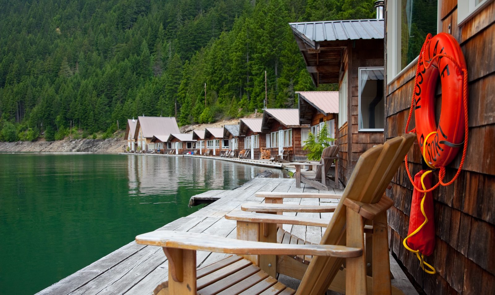
Ross Lake stretches for 23 miles (37 km) north from Ross Dam into Canada, between steep forested mountains. Near the dam, Ross Lake Resort’s cabins float on log booms on the water, reached only by trail and boat, with no road at all. From there you can paddle, fish and take water taxis up the lake to remote trailheads and campsites along its shores.
- Allow: a night or more
- Start: Ross Dam trailhead on the North Cascades Highway, then a short trail and a boat from the resort
- When: about mid-June to October
- Suits: everyone; book well ahead
7. Climb to the Hidden Lake Lookout
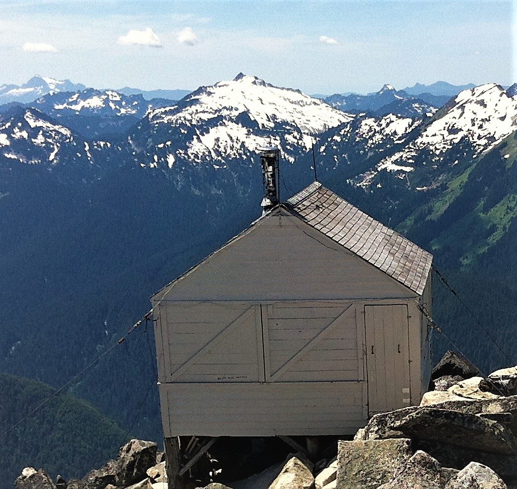
On the park’s western edge, a steep trail climbs through forest and flower meadows to a fire lookout built in 1931, perched on a rocky summit above the blue water of Hidden Lake, with a view across a sea of glaciated peaks deep into the park. The final stretch crosses steep, rocky ground, often under snow until midsummer.
- Distance: about 8 miles (13 km) round trip
- Climb: about 3,300 feet (1,000 m)
- Allow: 6 to 7 hours
- Start: Hidden Lake trailhead, off the Cascade River Road from Marblemount
- When: July to October, when the snow has gone
- Suits: fit hikers
8. Take the boat to Stehekin
At the head of Lake Chelan, in the park’s southern unit, the tiny village of Stehekin can be reached only by boat, floatplane or on foot. A passenger ferry runs up the long, deep lake, and from the landing a shuttle bus travels up the valley, past Rainbow Falls, a waterfall of more than 300 feet (90 m), and an old orchard, to trailheads into the mountains. It is a quiet, roadless place to spend a few days.
- Allow: a long day, or several days
- Start: Chelan or Field’s Point, by passenger ferry
- When: May to October for full service
- Suits: everyone
9. See Mount Shuksan from Picture Lake
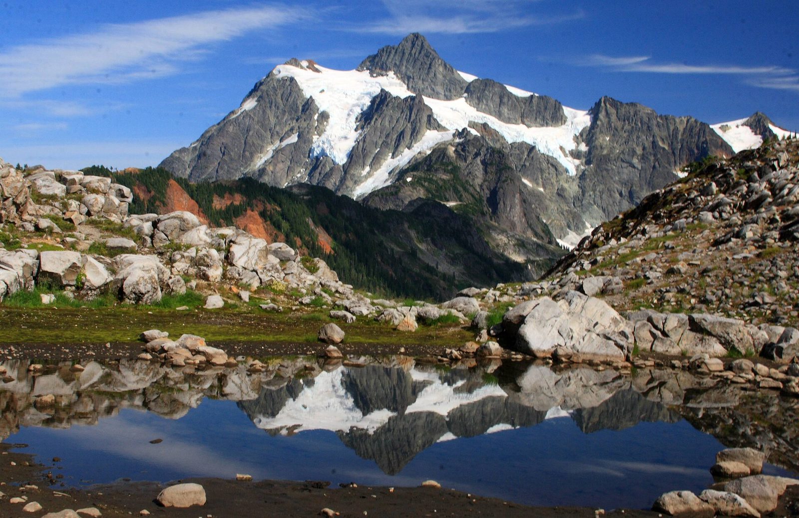
Mount Shuksan, a great glaciated peak on the park’s western edge, is one of the most photographed mountains in North America, above all reflected in the still water of Picture Lake, just outside the park on the Mount Baker Highway. A short paved path circles the lake. In late September the huckleberry bushes around it turn red.
- Allow: 30 minutes, plus the drive
- Start: Picture Lake, near the end of the Mount Baker Highway (SR 542)
- When: about July to October
- Suits: everyone
10. Hike to the Desolation Peak lookout
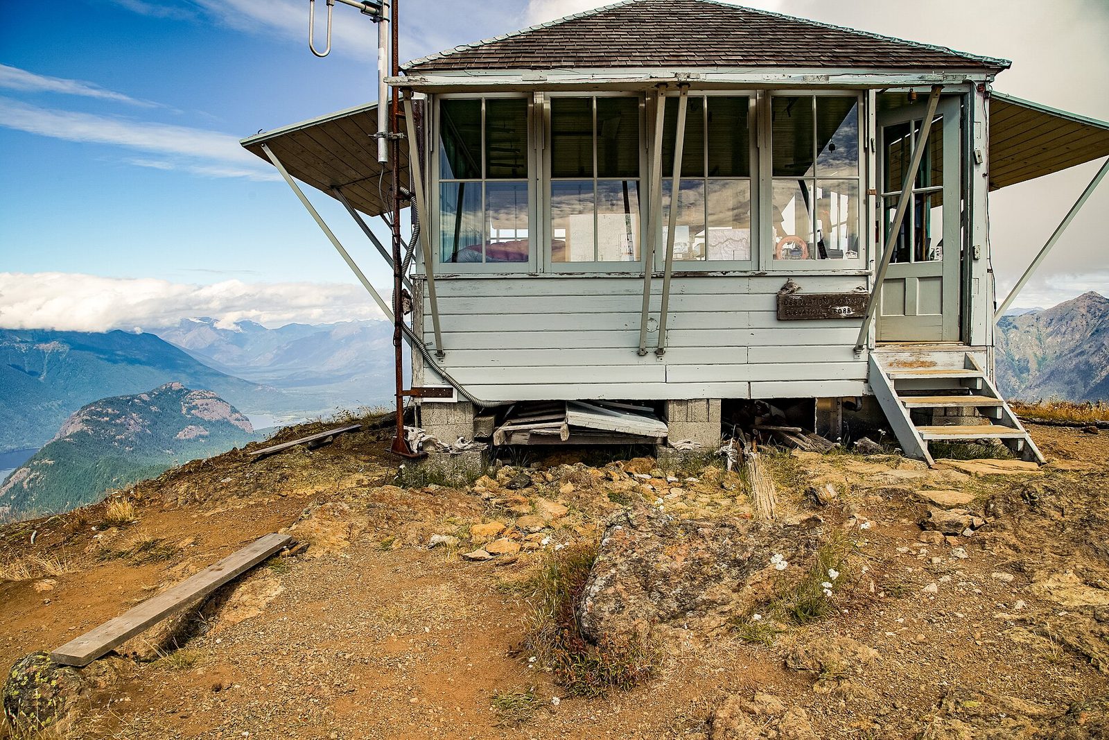
In the summer of 1956, the writer Jack Kerouac spent 63 days alone as a fire lookout on Desolation Peak, above Ross Lake, an experience he wrote about in his books. The trail to the lookout climbs relentlessly up the mountainside from the lakeshore, reached by boat, to the summit, where the views over Ross Lake and the jagged peaks of the North Cascades are spectacular. It is a hard climb, best done with a night at a lakeside campsite.
- Distance: about 6.8 miles (11 km) round trip from the lake
- Climb: about 4,400 feet (1,340 m)
- Allow: 7 to 8 hours, plus the boat ride
- Start: the lakeshore below Desolation Peak, by water taxi from Ross Lake Resort
- When: July to September
- Suits: fit hikers
Before you go
This list covers what stays the same from year to year. Closures, highway status, trail conditions and fire restrictions change, and the National Park Service posts them on its own site. The link is on our North Cascades National Park guide, with the map and how to get there.