

Top 10 things to do in Waterton Lakes National Park
Waterton Lakes is where the prairie meets the mountains with nothing in between: grassland runs straight to the foot of the peaks in Alberta’s southwest corner, on the Montana border. It is the smallest of the Rocky Mountain national parks and the easiest to get around. Everything is within half an hour of the one village, which sits on the shore of Upper Waterton Lake. These are the ten outings we would put first. The order starts with what the park is known for, then goes by what an outing gives back for the time and effort it takes. Distances and heights are Parks Canada figures; times are our estimates and do not include stops.
Two things to expect. Wind: Waterton is one of the windiest places in Alberta in every season, and gusts on the ridges and the lake can knock a person off balance. And the mark of fire: the Kenow wildfire of 2017 burned much of the park, so many trails now run through standing grey trunks and thick new growth, with wider views and far less shade than before. Both black and grizzly bears are common. Carry bear spray on every trail.
1. Climb the Bear’s Hump
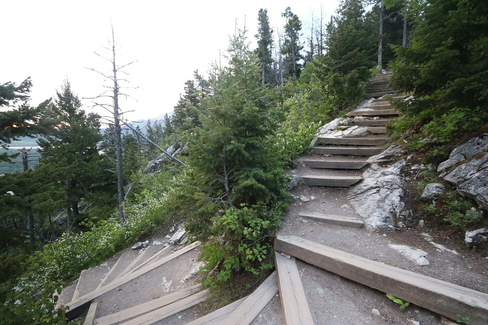
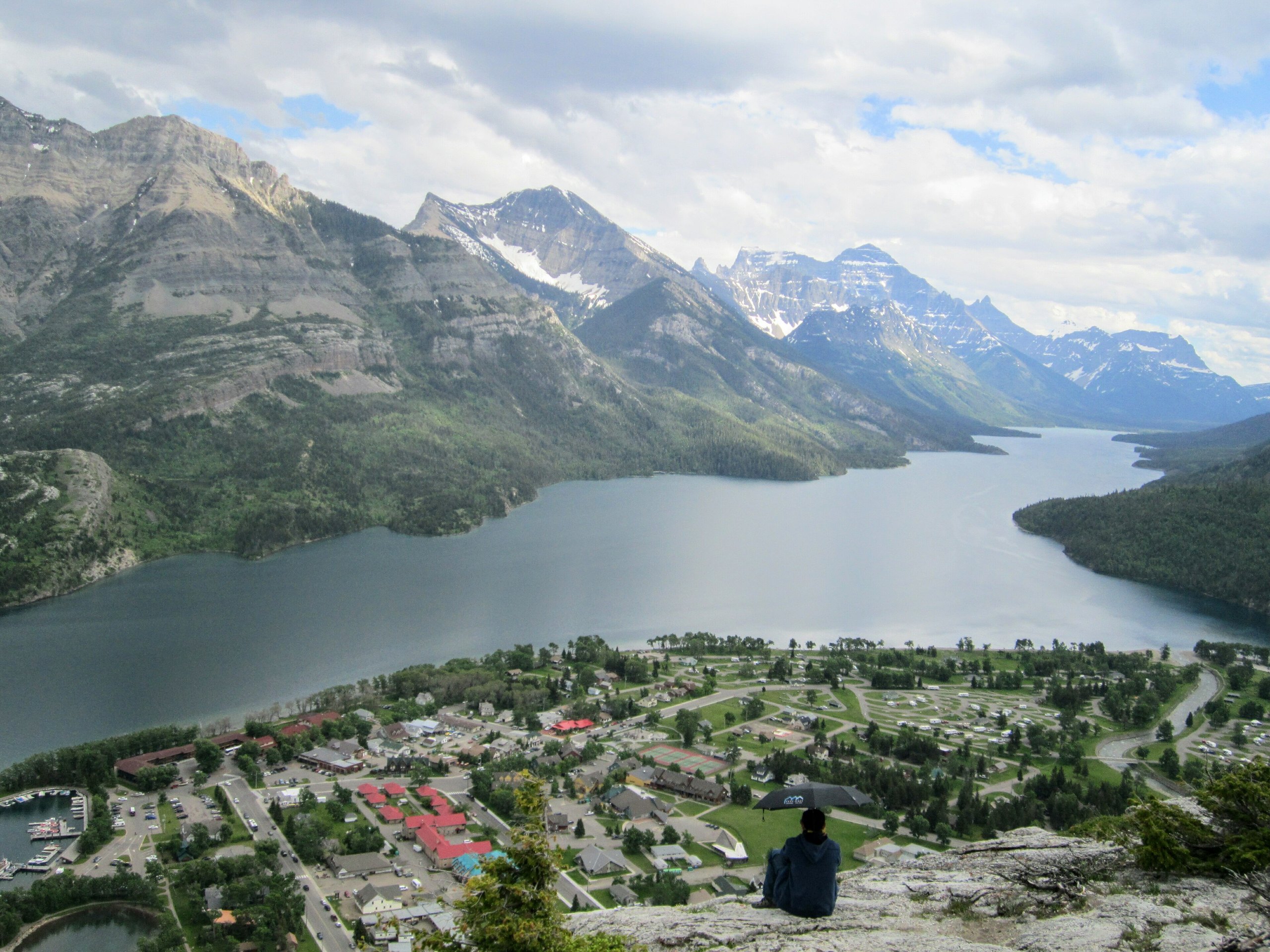
This is the view of Waterton: the village on its delta directly below, the Prince of Wales Hotel on its bluff, and Upper Waterton Lake running south between the peaks into Montana. The trail is short and steep, a staircase of steps and switchbacks up the shoulder of Mount Crandell to a rock outcrop. It takes most people half an hour to climb. Hold on to hats and small children at the top: the wind is strong and the drop is sheer.
- Distance: 0.9 miles (1.4 km) each way
- Climb: about 740 feet (225 m)
- Allow: 1 to 1.5 hours
- Start: Bear’s Hump trailhead, on the park road just before the village
- When: May to October; evening light is best on the lake
- Suits: most walkers who take the climb slowly
2. Cruise Upper Waterton Lake into the United States
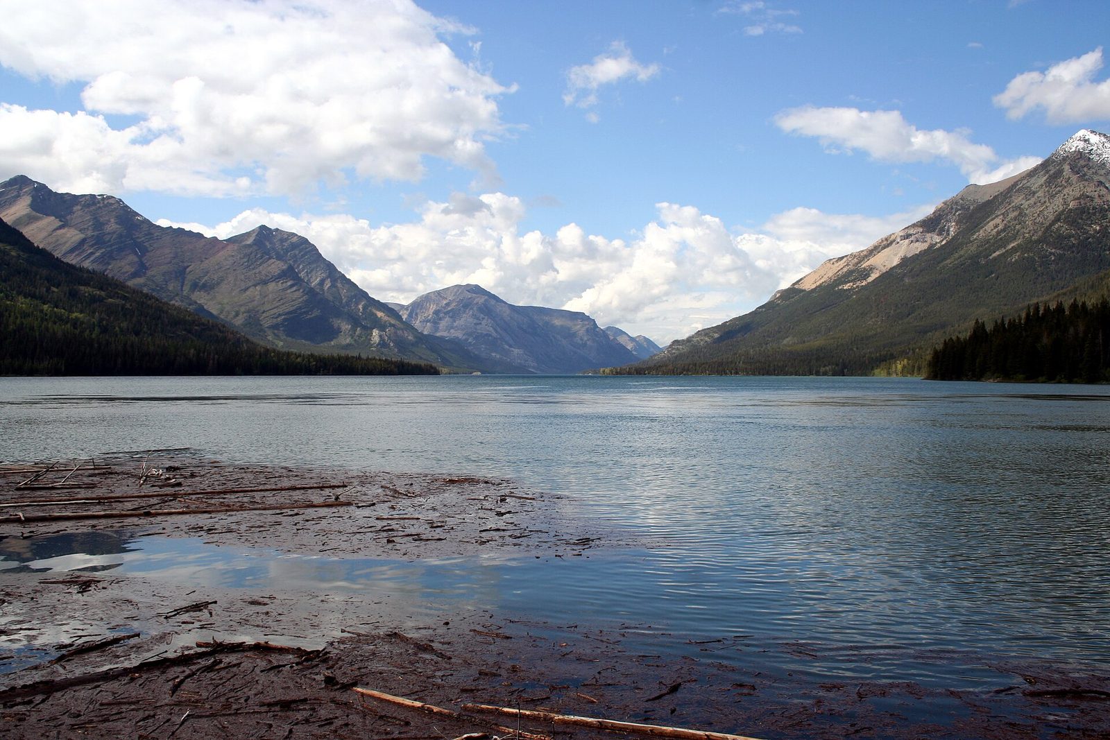
Upper Waterton Lake is the deepest lake in the Canadian Rockies, 487 feet (148 m), and it runs 7 miles (11 km) south across the international border to Goat Haunt, in Glacier National Park. A tour boat has made the trip since 1927. From the water you see the cut line through the forest that marks the 49th parallel, waterfalls coming off the cliffs, and often bears, moose and eagles along the shore. The cruise is the easy way to understand the park’s shape, and the best plan for a day when the wind makes the ridges unpleasant.
- Distance: about 14 miles (22 km) round trip by water
- Allow: about 2 hours
- Start: the marina in the village
- When: about May to early October. Going ashore at Goat Haunt has its own border rules, so ask when you book.
- Suits: everyone
3. Walk around Red Rock Canyon
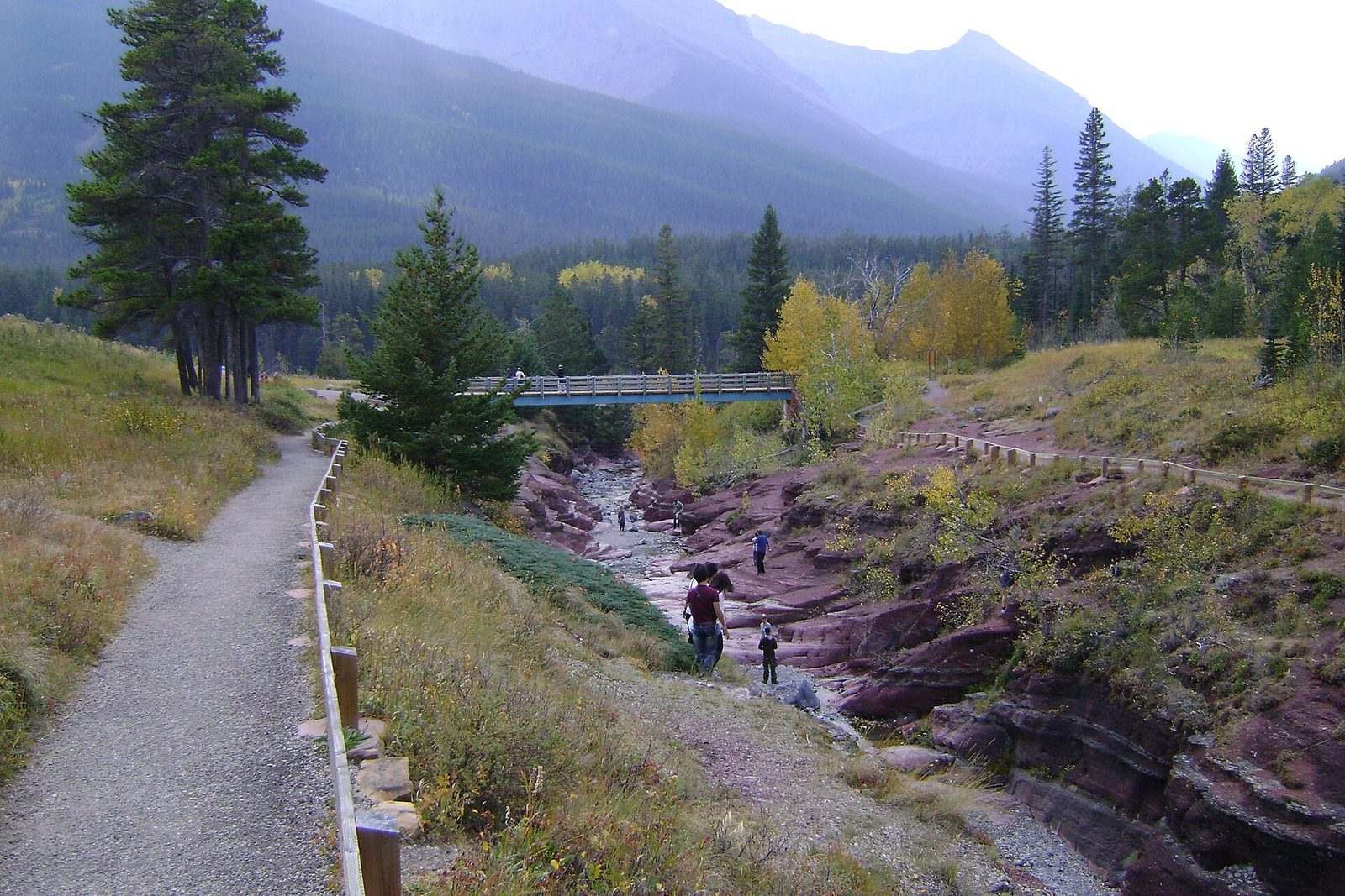
At the end of the Red Rock Parkway a creek has cut a small gorge through brick-red and pale green rock, the colours of iron in mudstone that is more than a billion years old. A paved loop follows both rims and crosses on two bridges, and on hot days people wade in the shallow water on the canyon floor. A level trail leads on through the burned forest to Blakiston Falls, where viewing platforms hang over a double drop. The drive there, 9 miles (15 km) up a valley of grassland and aspen, is the best road in the park for seeing bears, most often in the morning and evening.
- Distance: a loop of 0.4 miles (0.7 km) around the canyon; 1.2 miles (2 km) round trip to Blakiston Falls
- Allow: 1 to 1.5 hours, plus the drive
- Start: Red Rock Canyon, at the end of the Red Rock Parkway
- When: about May to October, while the parkway is open to vehicles
- Suits: everyone. The canyon loop takes wheelchairs and strollers.
4. Paddle Cameron Lake
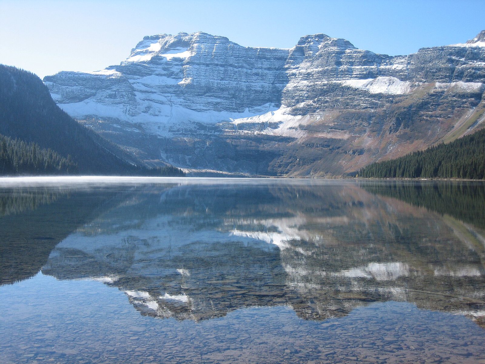
Cameron Lake lies in a bowl at the end of the Akamina Parkway, at 5,450 feet (1,660 m), with the wall of Mount Custer at its far end. That end of the lake is in Montana. Snow lasts on the headwall into summer, and avalanche chutes below it are a regular feeding ground for grizzly bears, which is why the shoreline trail stops partway along. The way to see the far end is from the water. Canoes, kayaks and rowing boats are rented at the dock, and the lake is more sheltered from wind than the big lakes below.
- Distance: 2 miles (3.2 km) round trip on the lakeshore trail; the lake is about 1.5 miles (2.5 km) long
- Allow: 2 hours with a boat
- Start: Cameron Lake, 10 miles (16 km) from the village at the end of the Akamina Parkway
- When: June to September for paddling; the road is a ski and snowshoe route in winter
- Suits: families. Scan the far slopes with binoculars for bears.
5. Hike to Crypt Lake
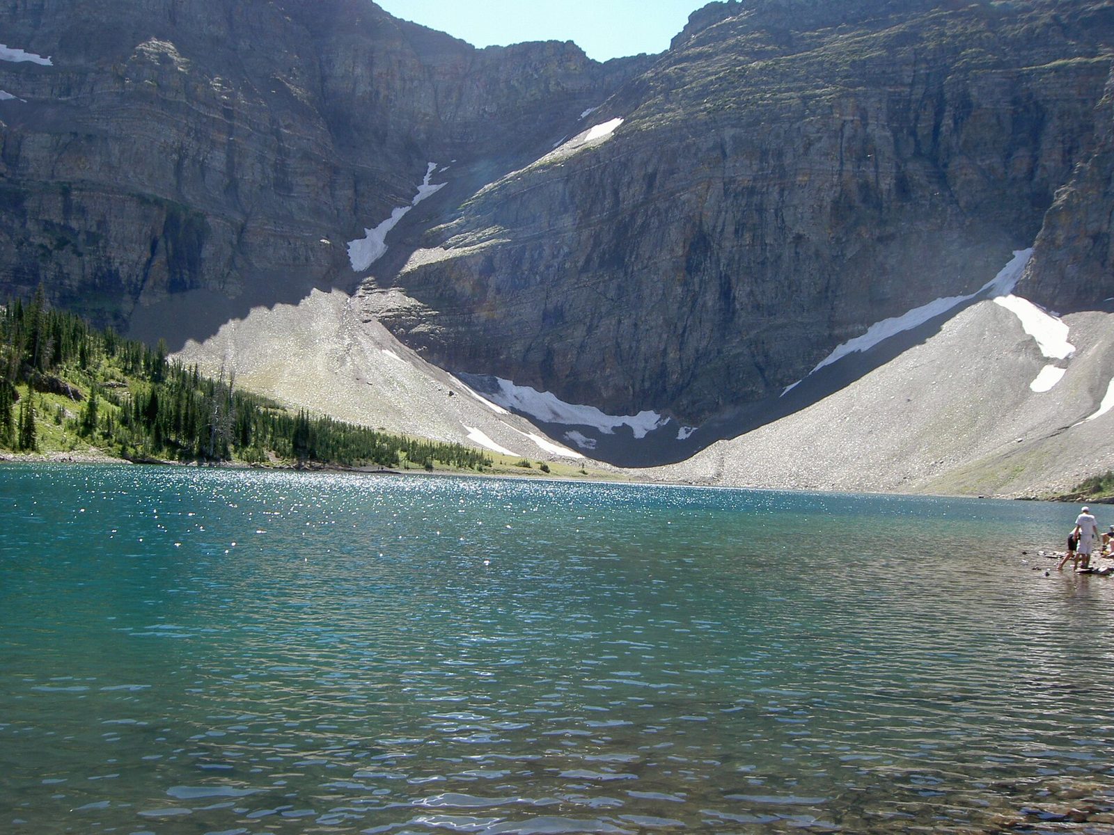
Crypt Lake is the park’s famous hike, and it earns the name. A boat takes you across Upper Waterton Lake to a trailhead with no road. The trail climbs past four waterfalls, the last of them about 600 feet (175 m) high, then reaches a cliff. There you go up a steel ladder, crawl through a natural tunnel about 60 feet (18 m) long, and edge along a ledge holding a cable. Beyond it the lake lies in a cirque of sheer walls, its far shore on the border.
You must be back at the dock for the last boat, so keep an eye on the time. The ladder and ledge are not for anyone uneasy with heights, and the tunnel is a tight fit with a large pack.
- Distance: 10.7 miles (17.2 km) round trip
- Climb: about 2,300 feet (700 m)
- Allow: 6 to 7 hours on the trail, plus the boat
- Start: the marina in the village, by ferry to Crypt Landing
- When: about late June to September, once the snow has gone from the ledge
- Needs: a ferry ticket, booked ahead in July and August
- Suits: fit hikers with a head for heights
6. Stroll the village to Cameron Falls
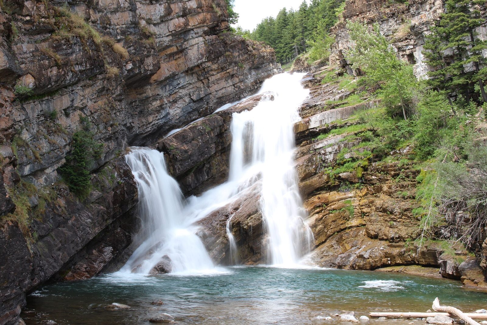
The village is part of the park’s appeal: a few streets of cafes and cabins where mule deer lie on the lawns and bighorn sheep walk down the road. At its edge, Cameron Creek fans over a tilted ledge of some of the oldest exposed rock in the Rockies, about 1.5 billion years old. The falls are beside the road and worth seeing after heavy rain, when the water sometimes runs pink with sediment. A paved path follows the lakeshore from there around the village.
- Distance: about 2 miles (3.2 km) for a loop of the village and lakeshore, level
- Allow: 1 hour
- Start: Cameron Falls, on Evergreen Avenue
- When: all year, though most businesses close from mid-October to May
- Suits: everyone. Deer in town defend their fawns in June: give them room, and keep dogs leashed.
7. Take tea at the Prince of Wales Hotel
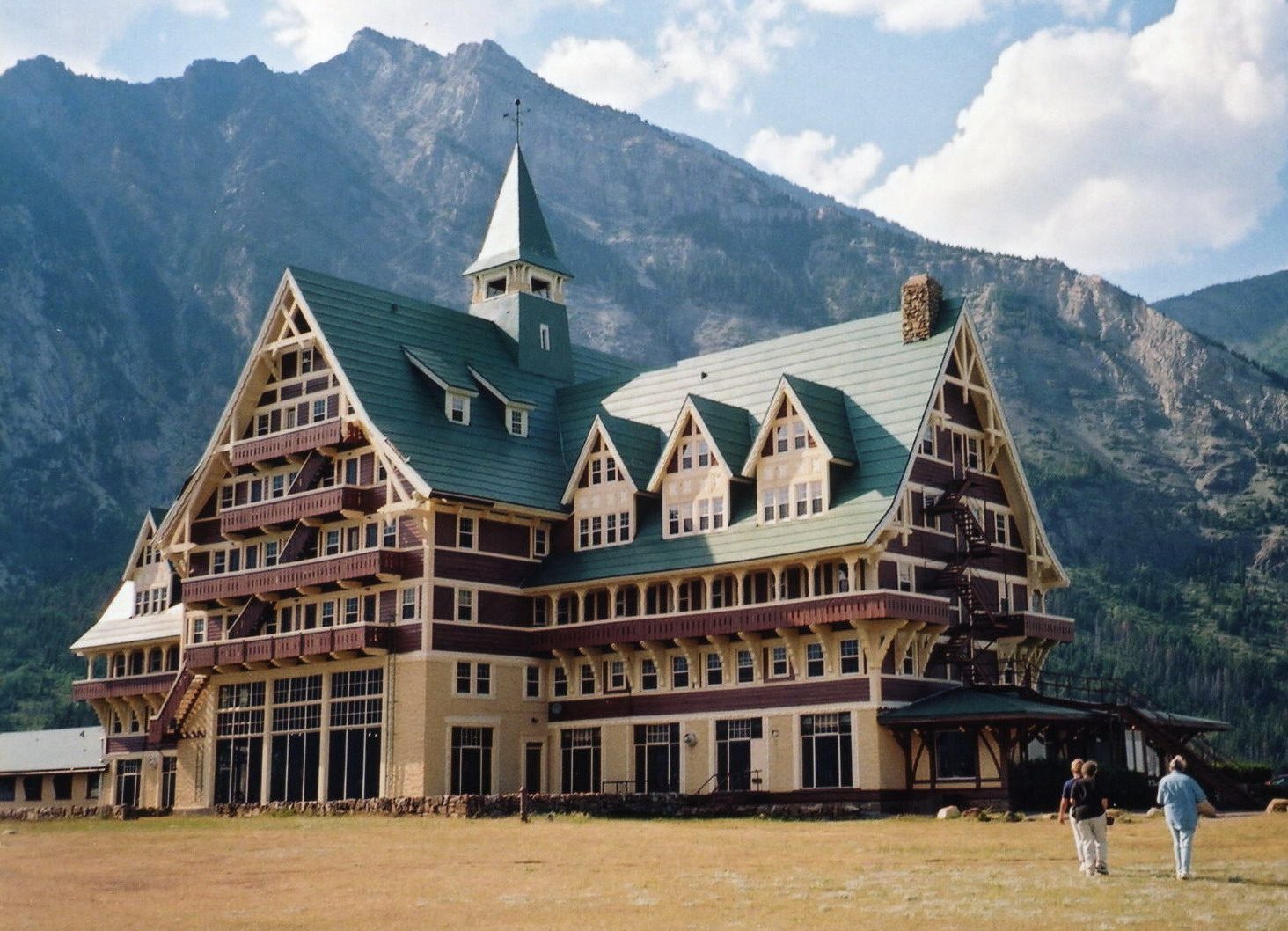
The Prince of Wales Hotel stands alone on a windy bluff above the lake, seven storeys of timber gables and balconies, opened in 1927 by the Great Northern Railway to bring American tourists north during Prohibition. It is a National Historic Site, and anyone may walk in. The lobby has windows two storeys high that face straight down the lake, and afternoon tea is served in front of them in summer. The view from the lawn outside is free, and is one of the best in the park.
- Allow: 30 minutes to look; 1.5 hours for tea
- Start: the hotel, signed from the park road just before the village
- When: about late May to mid-September, while the hotel is open
- Suits: everyone
8. Hike to Bertha Falls and Bertha Lake
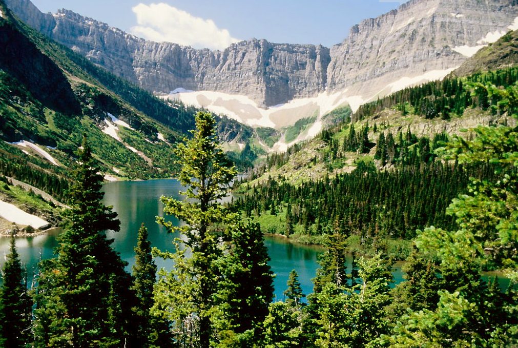
This trail starts in the village and gives two goals. Lower Bertha Falls, where the creek slides down a tilted slab into a small gorge, is an easy walk with views back over the lake. Beyond it the trail climbs in long switchbacks beside the upper falls to Bertha Lake, a deep green lake in a hanging valley under cliffs. The fire burned this slope, so the climb is open to the sun and the wildflowers under the dead trees are thick in July.
- Distance: 3.2 miles (5.2 km) round trip to Lower Bertha Falls; 3.2 miles (5.2 km) each way to Bertha Lake
- Climb: about 575 feet (175 m) to the falls; about 1,500 feet (460 m) to the lake
- Allow: 1.5 hours for the falls; 4 to 5 hours for the lake
- Start: Bertha trailhead, at the south end of the village
- When: May to October for the falls; late June to September for the lake
- Suits: most walkers to the falls; fit walkers to the lake
9. Cross Carthew Summit
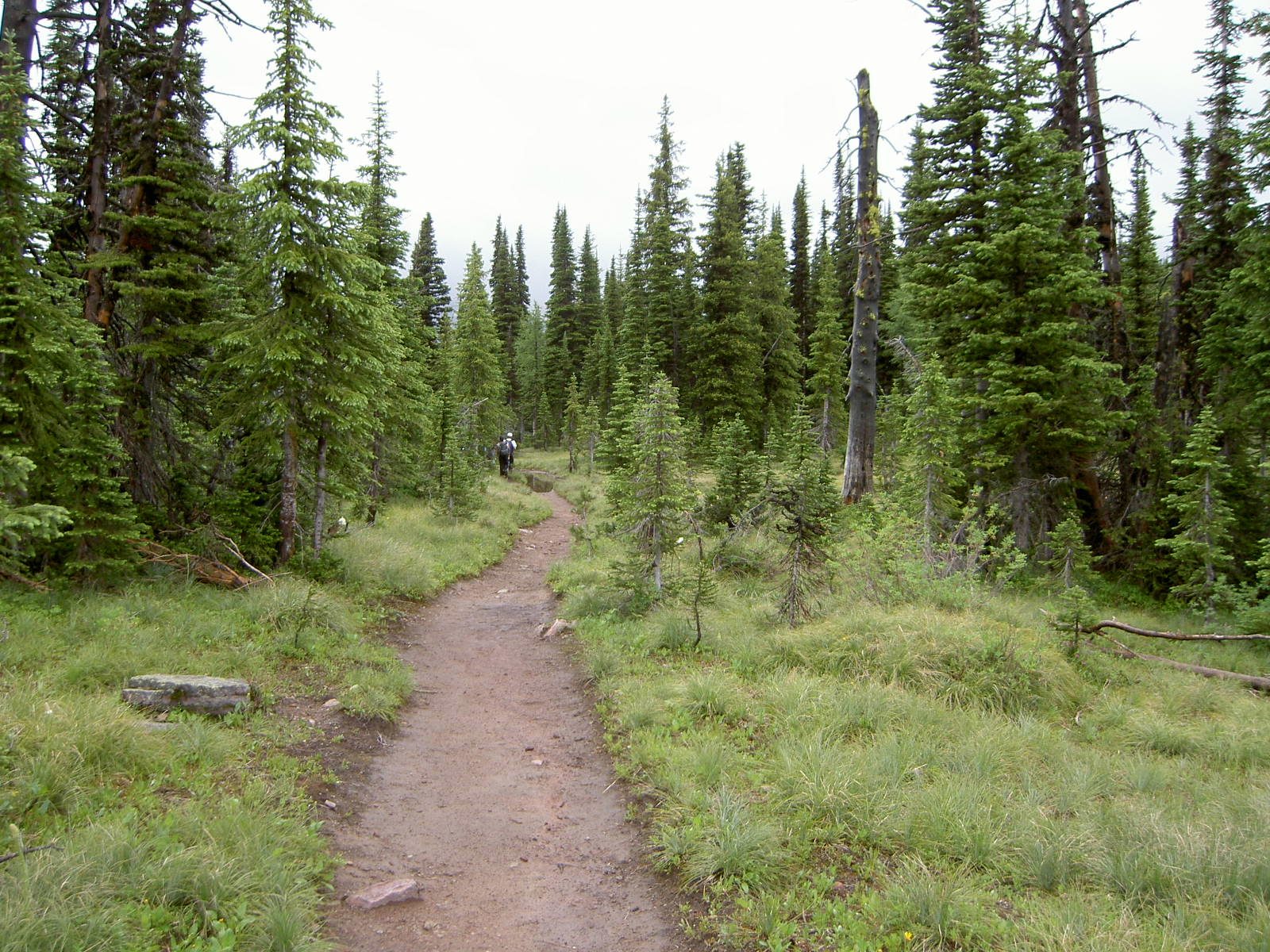
The Carthew-Alderson Trail is one of the great day hikes of the Canadian Rockies. It starts at Cameron Lake, climbs through forest to Summit Lake, then crosses bare red scree to Carthew Summit, a windswept ridge with peaks in every direction, well into Glacier National Park. From there it is downhill all the way: past the three Carthew Lakes, down a headwall to Alderson Lake, and through the valley to finish at Cameron Falls in the village. A hikers’ shuttle runs from the village to Cameron Lake in the morning, so you can leave your car at the end.
The summit ridge is fully exposed. In strong wind, which is common, it is hard to stand up on, and the snow on the headwall above Alderson Lake can last into July.
- Distance: about 12.4 miles (20 km) one way
- Climb: about 2,100 feet (650 m) up and 3,300 feet (1,000 m) down
- Allow: 6 to 8 hours
- Start: Cameron Lake; finish in the village
- When: mid-July to September
- Suits: fit hikers on a calm day
10. Drive the Bison Paddock loop
Just inside the park boundary, on the open prairie, Parks Canada has kept a small herd of plains bison since 1952, a reminder of the millions that once grazed here. A narrow gravel road loops through their fenced range, and the animals are often beside it or on it. From the overlook at the entrance, the view takes in the herd, the grassland and the whole mountain front rising behind. Stay in your vehicle inside the paddock.
- Distance: a loop road of about 2.5 miles (4 km)
- Allow: 30 minutes
- Start: Bison Paddock Road, off Highway 6 just north of the park entrance road
- When: about May to October. Trailers and motorhomes are not allowed on the loop.
- Suits: everyone
Before you go
This list covers what stays the same from year to year. Boat and shuttle schedules, bear closures, road opening dates and border rules at Goat Haunt change, and Parks Canada posts them on its own site. The link is on our Waterton Lakes National Park guide, with the map, passes and how to get there.