

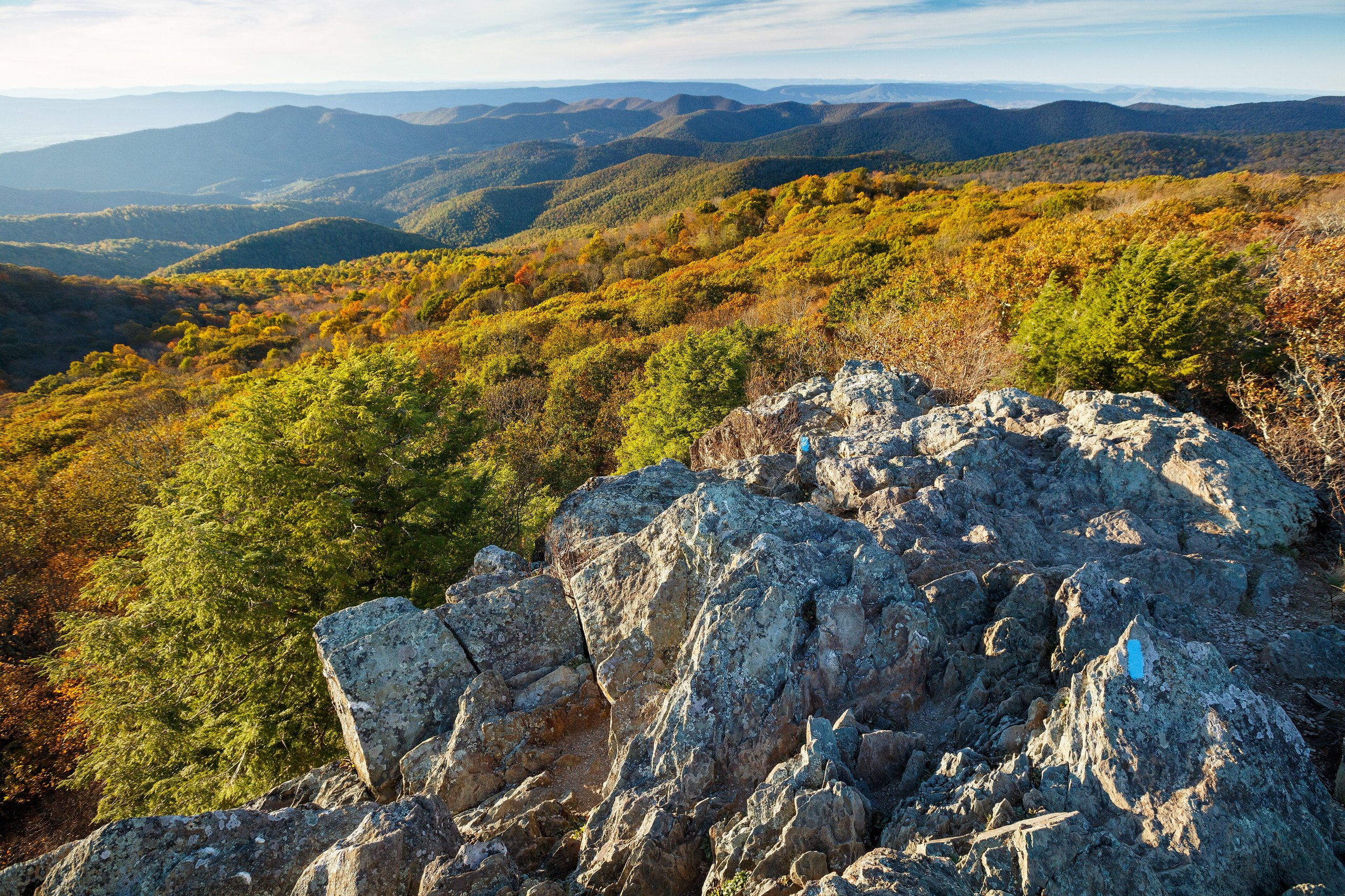
Top 11 things to do in Shenandoah National Park
Shenandoah is a long, narrow park along the crest of the Blue Ridge in Virginia, 75 miles (120 km) from Washington, D.C. One road, Skyline Drive, runs its whole length, and everything in the park is found by its mileposts, numbered from north to south. Trails drop off both sides of the ridge to waterfalls and climb to rocky summits. These are the eleven outings we would put first. The order starts with what the park is known for, then goes by what an outing gives back for the time and effort it takes. Distances and heights are National Park Service figures; times are our estimates and do not include stops.
Waterfall hikes here go down first and climb on the way back. Black bears are common and usually shy: keep 50 yards (46 m) away and never leave food out. Check for ticks after every walk from April to October.
1. Drive Skyline Drive
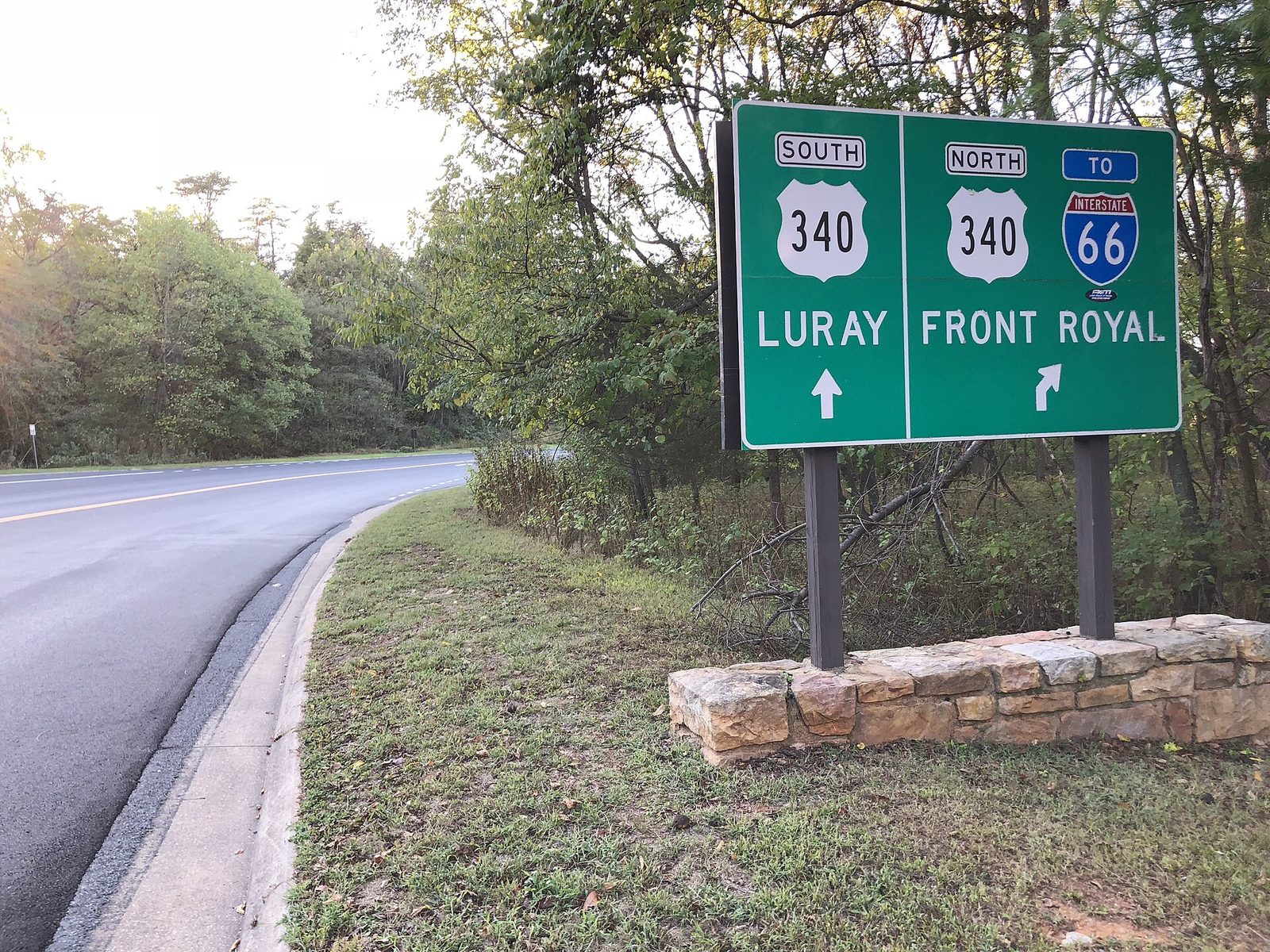
Skyline Drive follows the ridge for 105 miles (169 km), from Front Royal to Rockfish Gap, with about 75 overlooks facing the Shenandoah Valley on one side and the Piedmont on the other. The speed limit is 35 mph (56 km/h), and deer, bears and wild turkeys cross without warning, so the full length takes about three hours without a stop. Few people drive it all. The central section, between Thornton Gap at mile 31.5 and Swift Run Gap at mile 65.5, has the highest ground, the lodges and most of the well-known trails.
The drive is busiest in the second half of October, when the hardwoods turn and cars queue at the entrance stations on weekends. Come on a weekday, or before 9 a.m.
- Distance: 105 miles (169 km) end to end
- Allow: 3 hours without stops; a full day with them
- Start: any of four entrances: Front Royal, Thornton Gap, Swift Run Gap or Rockfish Gap
- When: all year, though sections close in snow and ice. Mid to late October for fall colour.
- Suits: everyone. Marys Rock Tunnel, at mile 32, has a clearance of 12 feet 8 inches (3.9 m).
2. Scramble up Old Rag
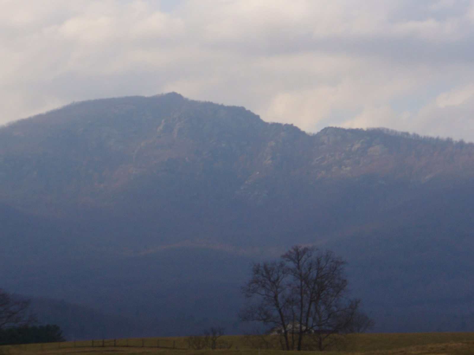
Old Rag stands apart from the main ridge on the park’s east side, and its circuit is the park’s most popular hike and its hardest popular one. After a long climb through forest the trail comes out on bare granite and becomes a scramble for about a mile (1.6 km): squeezing through cracks, lowering yourself into a slot, hauling up over boulders with your hands. The summit, at 3,284 feet (1,001 m), is a jumble of rounded rock with a view all round. The way down is by fire road.
From March to November every hiker needs an Old Rag day-use ticket, bought ahead online, as well as the park entrance fee. The scramble is slick and dangerous when wet or icy, and rescues from it take many hours. Dogs are not allowed.
- Distance: a circuit of 9.4 miles (15.1 km)
- Climb: about 2,350 feet (715 m)
- Allow: 7 to 8 hours
- Start: Old Rag parking area near Nethers, reached from Route 231 and not from Skyline Drive
- When: April to November, in dry weather
- Needs: a day-use ticket from March to November
- Suits: fit hikers with the upper-body strength to pull themselves up
3. Walk down to Dark Hollow Falls
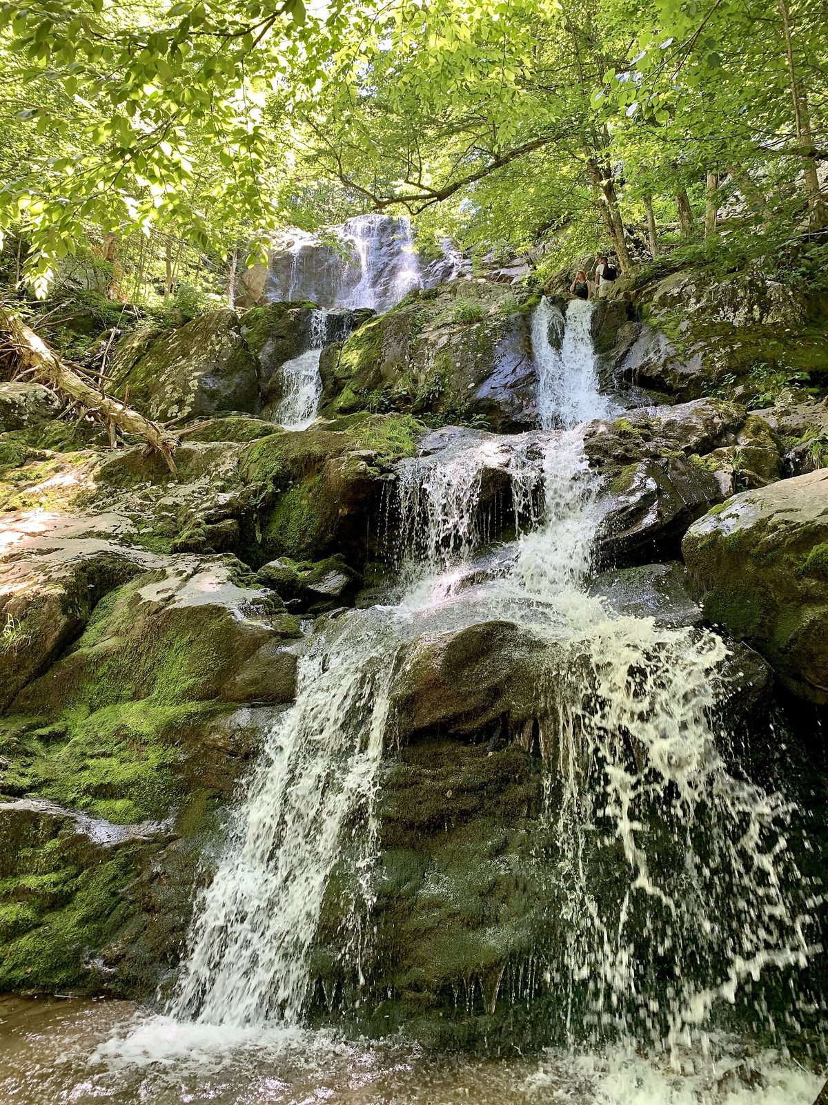
Dark Hollow Falls is the closest waterfall to Skyline Drive, which makes it the busiest trail in the park. The path follows Hogcamp Branch downhill beside a string of small cascades to the foot of a 70-foot (21 m) fall that steps down a dark rock face. The walk down takes twenty minutes. The climb back is steep and takes most people twice as long. Go early in the day, and after rain if you can, when the stream is full. Pets are not allowed on this trail.
- Distance: 1.4 miles (2.3 km) round trip
- Climb: about 440 feet (135 m), all on the return
- Allow: 1 to 1.5 hours
- Start: Dark Hollow Falls parking area, mile 50.7, just north of Big Meadows
- When: all year; spring for the most water
- Suits: most walkers who take the climb slowly
4. Stand on Stony Man
Stony Man is the easiest big view in the park. A gentle trail climbs from the Skyland area, the highest point on Skyline Drive, through forest to a cliff-top at 4,011 feet (1,223 m), the park’s second-highest summit, looking straight down on the valley and the town of Luray and along the ridge to the north. The first part follows the Appalachian Trail. It is a fine place for sunset, and short enough to walk back from in the last light.
- Distance: 1.6 miles (2.6 km) round trip
- Climb: about 340 feet (104 m)
- Allow: 1 hour
- Start: Stony Man parking area, at the north entrance to Skyland, mile 41.7
- When: all year
- Suits: families. The cliff edge is unfenced. Pets are not allowed.
5. Climb Hawksbill, the highest point in the park
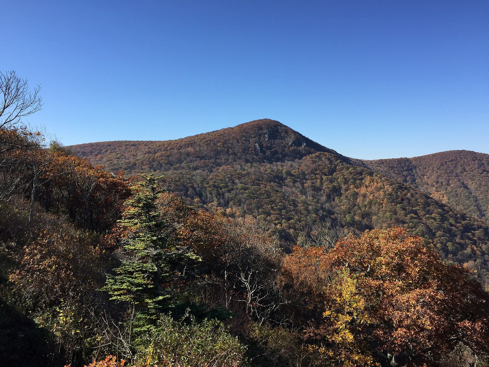
Hawksbill reaches 4,050 feet (1,234 m), and its summit has a stone viewing platform on the edge of a cliff, a three-sided shelter just below, and a view over the valley to Massanutten Mountain and the Alleghenies beyond. Two trails go up. The Upper Hawksbill Trail is the gentler, on a wide path from the south. The Lower Hawksbill Trail is shorter and much steeper. Peregrine falcons have been returned to these cliffs and are sometimes seen from the top.
- Distance: 2.1 miles (3.4 km) round trip from the Upper Hawksbill parking area; 1.7 miles (2.7 km) from Hawksbill Gap
- Climb: about 520 feet (160 m) by the upper trail; about 690 feet (210 m) by the lower
- Allow: 1.5 to 2 hours
- Start: Upper Hawksbill parking area, mile 46.7, or Hawksbill Gap, mile 45.6
- When: all year; it is windy and much colder on top than at the car
- Suits: most walkers by the upper trail
6. Spend an evening at Big Meadows
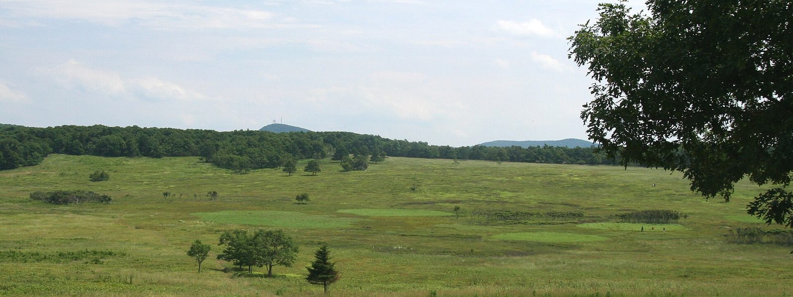
Big Meadows is the one large open space on a forested ridge: a broad, grassy clearing kept open by mowing and burning, beside the visitor center, a lodge and the park’s largest campground. White-tailed deer graze it at dusk in numbers, with fawns in June. Paths cross it among blueberries and wildflowers. After dark it is the best place in the park for stars, with the whole sky open, and rangers and volunteers hold night sky programs here in summer.
- Distance: as far as you like on the meadow paths
- Allow: 1 to 2 hours
- Start: Byrd Visitor Center, mile 51
- When: all year; dusk for deer, a clear moonless night for stars
- Suits: everyone
7. Hike Whiteoak Canyon to the first falls
Whiteoak Canyon holds six waterfalls, and the first one down from Skyline Drive, at 86 feet (26 m), is the second-tallest in the park. The trail descends through tall forest beside the stream to a rock ledge facing the fall. Below it the canyon steepens, and the trail to the lower falls is rough and much harder. Most day hikers turn round at the first one. As at Dark Hollow, the whole climb comes at the end.
- Distance: 4.6 miles (7.4 km) round trip to the first falls
- Climb: about 1,040 feet (317 m)
- Allow: 3 to 4 hours
- Start: Whiteoak Canyon parking area, mile 42.6, just south of Skyland
- When: April to November; spring for water
- Suits: steady walkers
8. Do the Bearfence rock scramble
Bearfence is Old Rag in miniature, with no ticket and an hour’s effort. The loop climbs a short way from the road and then goes hand over hand along a spine of jagged greenstone to a summit at 3,640 feet (1,110 m) with a view in every direction, which is rare on this wooded ridge. It is short but real scrambling, with exposure in places. Skip it in rain or ice, and with small children or anyone unsteady. Pets are not allowed.
- Distance: a loop of 1.2 miles (1.9 km)
- Climb: about 310 feet (95 m)
- Allow: 1 hour
- Start: Bearfence parking area, mile 56.4
- When: April to November, in dry weather
- Suits: agile walkers who are happy using their hands
9. Walk the Limberlost Trail
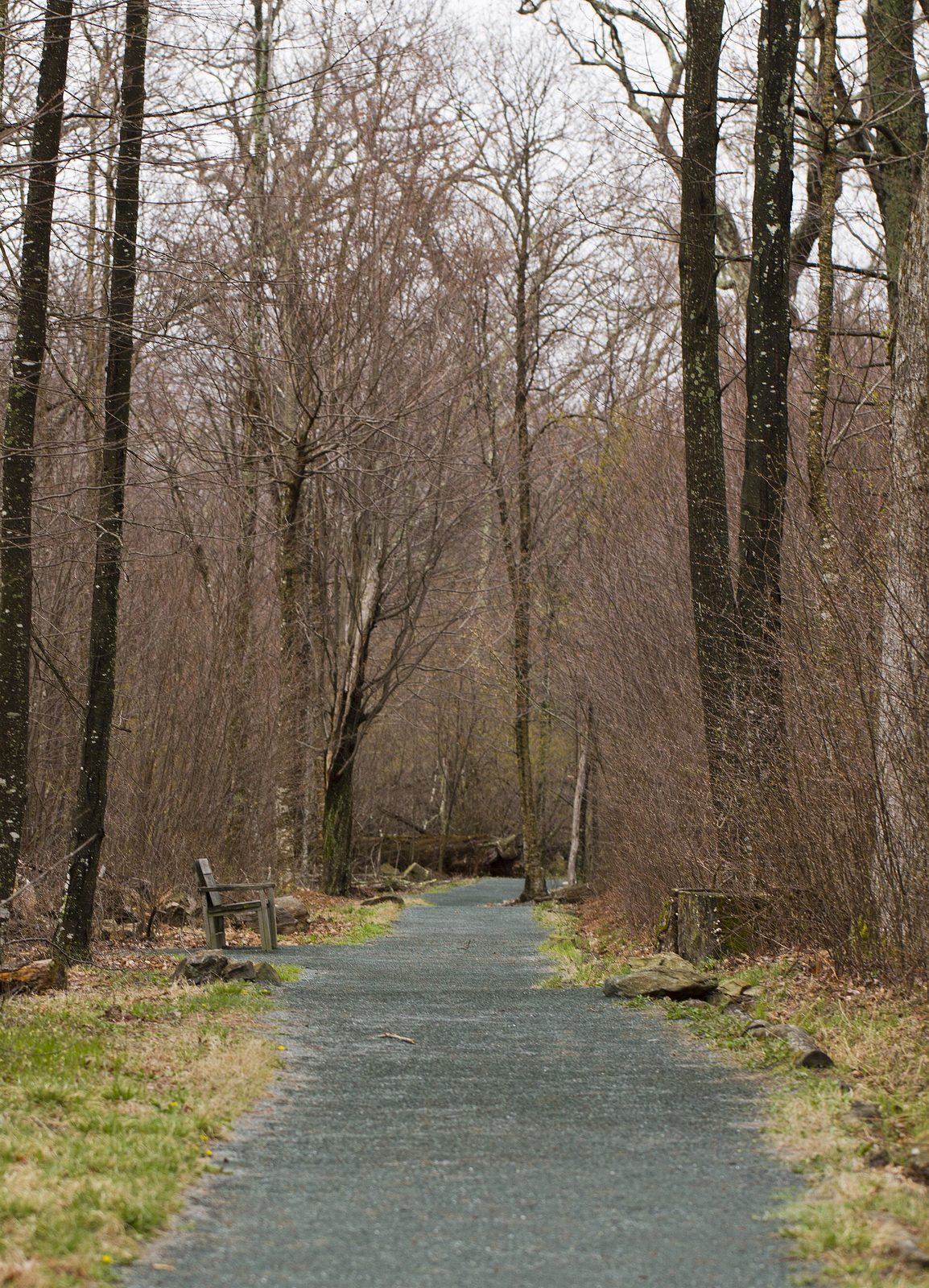
The Limberlost is the park’s accessible trail: a level loop of crushed greenstone through forest, with a boardwalk over a wet section, a bridge and benches all the way round. In June the mountain laurel along it is in flower. The old hemlocks that the grove was once known for were killed by an insect, the hemlock woolly adelgid, and the young forest growing up in their place is part of what there is to see.
- Distance: a loop of 1.3 miles (2.1 km), level
- Allow: 45 minutes
- Start: Limberlost parking area, mile 43, near Skyland
- When: all year; June for laurel
- Suits: everyone, including wheelchairs and strollers
10. Visit Hoover’s Rapidan Camp
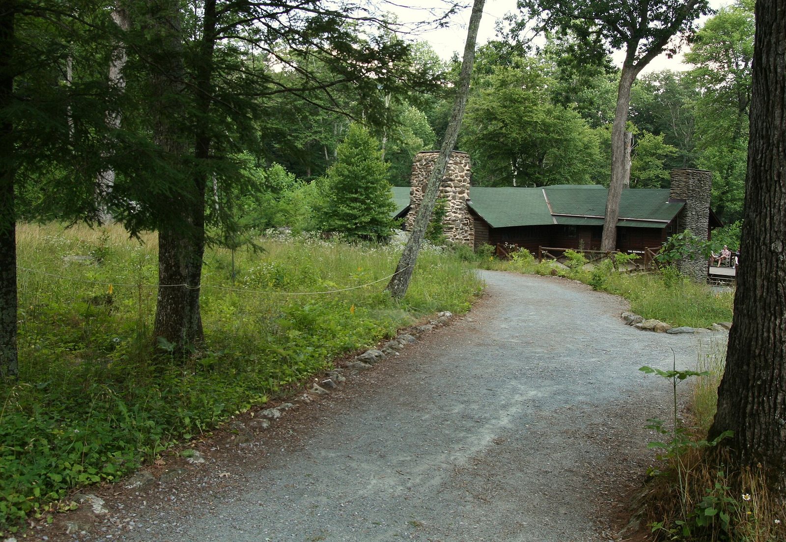
President Herbert Hoover and Lou Henry Hoover built a fishing camp where two streams meet at the head of the Rapidan River, and used it as their retreat from 1929 to 1933. Three of the cabins survive, including their own, the Brown House, which is furnished as it was. The Mill Prong Trail drops to it from Skyline Drive through quiet forest, crossing the stream three times on stones and passing a small waterfall. The cabins are open on some days in the warmer months; the grounds and porches can be visited at any time.
- Distance: 4 miles (6.4 km) round trip
- Climb: about 870 feet (265 m), on the return
- Allow: 2.5 to 3.5 hours
- Start: Milam Gap parking area, mile 52.8
- When: April to November. The stream crossings can be difficult after heavy rain.
- Suits: steady walkers with an interest in history
11. Follow the Appalachian Trail to Marys Rock
The Appalachian Trail runs for 101 miles (163 km) through the park, never far from Skyline Drive, and this is one of its best short sections. From Thornton Gap it climbs steadily through forest and laurel to a spur that leads to Marys Rock, a bare granite point with a wide view north along the ridge and down both sides. The white paint blazes on the trees mark the same path that runs from Georgia to Maine.
- Distance: 3.7 miles (6 km) round trip
- Climb: about 1,210 feet (369 m)
- Allow: 2.5 to 3 hours
- Start: Panorama parking area at Thornton Gap, mile 31.6
- When: all year
- Suits: steady walkers
Before you go
This list covers what stays the same from year to year. Road closures for weather, Old Rag ticket dates and cabin opening days change, and the National Park Service posts them on its own site. The link is on our Shenandoah National Park guide, with the map, passes and how to get there.