

Top 10 things to do in Olympic National Park
Olympic is three parks in one: glaciated mountains, temperate rain forest and 73 miles (117 km) of wild Pacific coast. No road crosses it. US 101 runs around the outside and spur roads reach in, so the famous places are two to three hours apart by car and a visit works best with two or three bases. These are the ten outings we would put first. The order starts with what the park is known for, then goes by what an outing gives back for the time and effort it takes. Distances are National Park Service figures; times are our estimates and do not include the drive.
On the coast, the tide decides where you can walk. Several headlands can be rounded only near low tide, and a rising tide can trap you against a cliff. Carry a tide table, know how to read it, and stay off drift logs in the surf: a wave can roll a log weighing tons onto a person.
1. Walk the Hall of Mosses in the Hoh Rain Forest
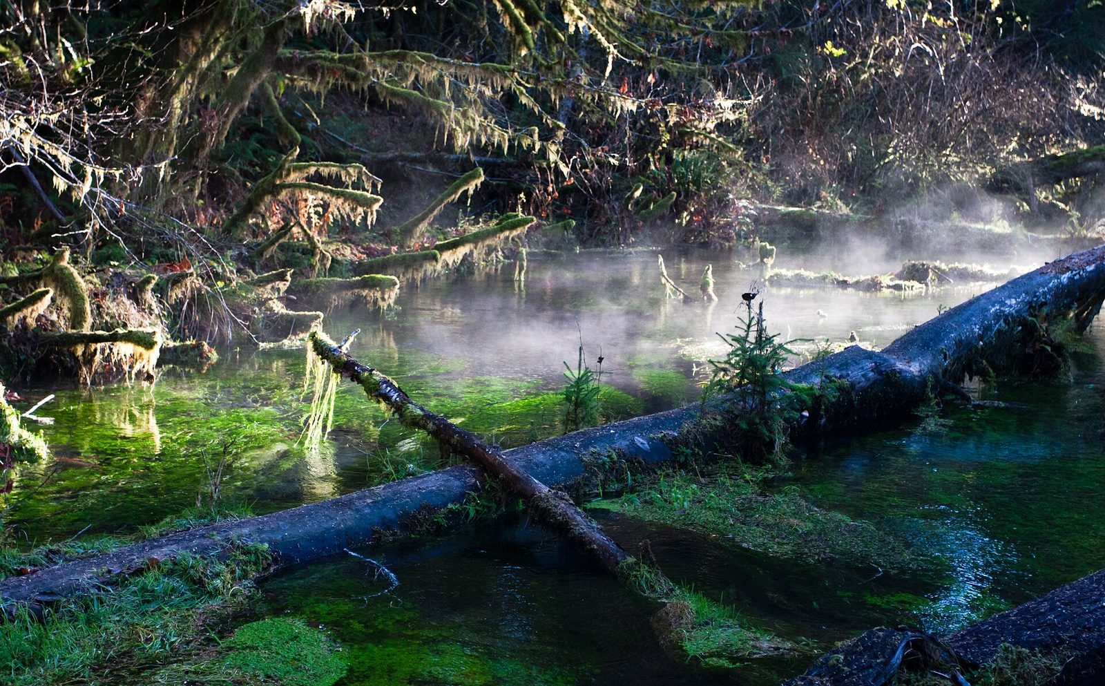
The Hoh valley gets about 140 inches (3.6 m) of rain a year, which makes it one of the wettest places in the lower 48 states. The forest that grows on it is Sitka spruce and western hemlock over 200 feet (60 m) tall, and bigleaf maples hung so thickly with moss that the branches are hidden. The Hall of Mosses is a short loop through a grove of those maples. The Spruce Nature Trail, beside it, goes down to the Hoh River, where Roosevelt elk often graze the gravel bars. Walk both.
The parking area is small, and in summer cars queue at the entrance station for an hour or more by late morning. Arrive before 9 a.m. or after 4 p.m. The forest looks its best in light rain, so do not wait for a dry day.
- Distance: a loop of 0.8 miles (1.3 km) for the Hall of Mosses; about 1.2 miles (1.9 km) for the Spruce Nature Trail
- Allow: 1.5 to 2 hours for both
- Start: Hoh Rain Forest Visitor Center, at the end of the Upper Hoh Road, about 2 hours from Port Angeles
- When: all year; greenest from late fall to spring
- Suits: everyone
2. Drive up to Hurricane Ridge
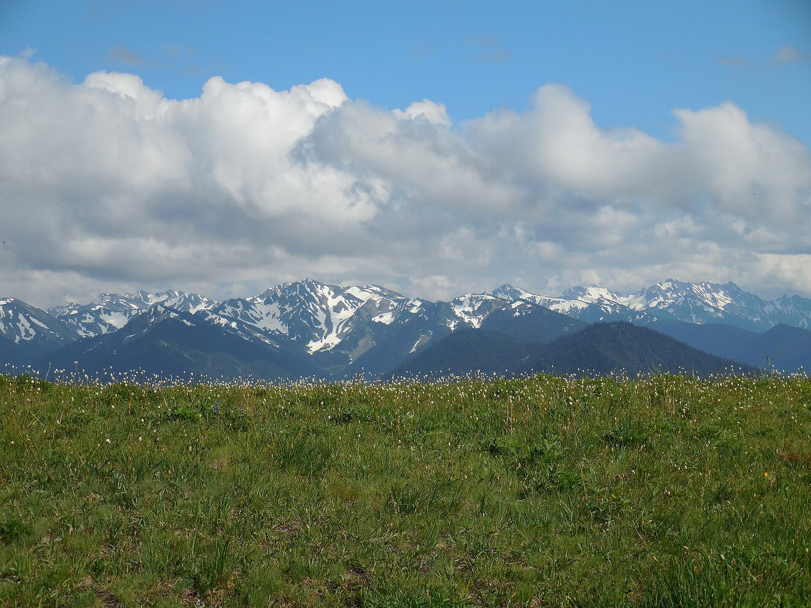
Hurricane Ridge is the one place where a road reaches the park’s high country. Seventeen miles (27 km) of switchbacks climb from Port Angeles, at sea level, to meadows at 5,242 feet (1,598 m), facing a wall of glaciated peaks with Mount Olympus among them. On a clear day you can also see north across the Strait of Juan de Fuca to Vancouver Island. Black-tailed deer graze beside the parking area, and Olympic marmots, found nowhere else in the world, whistle from the slopes.
The trail to Hurricane Hill, paved for much of its length, adds a wider view for a moderate climb. The ridge is named for its wind, and cloud often sits on it when Port Angeles is clear, so check the ridge webcam before driving up.
- Distance: 17 miles (27 km) by road; 3.2 miles (5.1 km) round trip to Hurricane Hill
- Climb: about 650 feet (200 m) on the trail
- Allow: half a day
- Start: Hurricane Ridge Road, from Port Angeles
- When: June to October for meadows and wildflowers, which peak in July. In winter the road opens on some days for skiing and snowshoeing, weather allowing.
- Suits: everyone at the ridge; most walkers to Hurricane Hill
3. Walk Rialto Beach to Hole-in-the-Wall
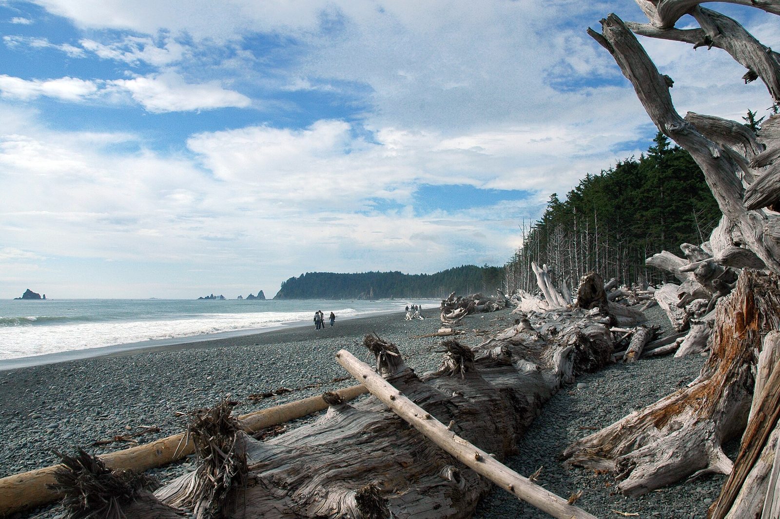
Rialto is the easiest of the wild beaches to reach: the parking area is behind the driftwood. From there you walk north along a steep beach of smooth grey stones, with sea stacks offshore and whole trees bleached white along the tide line. After a mile and a half you reach Hole-in-the-Wall, a sea arch cut through a headland, with tide pools of anemones and sea stars on the rock shelf around it. You can walk through the arch only near low tide.
Ellen Creek, partway along, has to be waded or crossed on logs. For a sandier beach with stacks close to shore, Second Beach is a short walk through forest from the road to La Push, on the other side of the river.
- Distance: 3 miles (4.8 km) round trip
- Allow: 2 to 3 hours, timed to be at the arch near low tide
- Start: Rialto Beach, at the end of Mora Road, west of Forks
- When: all year; winter brings the biggest surf and the highest tides
- Suits: most walkers. Loose stones make slow going.
4. See Sol Duc Falls
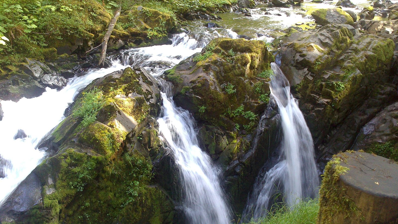
The Sol Duc River comes through old-growth forest of fir and hemlock, turns a sharp corner and drops into a slot canyon in three or four separate chutes, side by side. A footbridge crosses the gorge just below, and the spray keeps everything around it green. The trail in is wide and nearly level. On the road up, stop at the Salmon Cascades, where coho salmon leap a set of rapids on their way upstream in September and October.
- Distance: 1.6 miles (2.6 km) round trip
- Allow: 1 hour
- Start: Sol Duc Trailhead, at the end of Sol Duc Road, off US 101 west of Lake Crescent
- When: about late March to October, while the road is open; fullest in spring
- Suits: everyone
5. Stop at Lake Crescent and walk to Marymere Falls
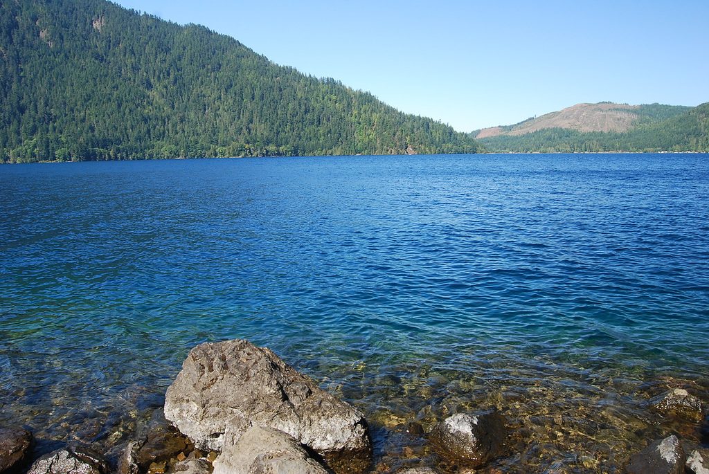
US 101 runs for about 10 miles (16 km) along the south shore of Lake Crescent, a glacier-carved lake 624 feet (190 m) deep whose water is unusually clear and blue because it holds very little nitrogen for algae to grow on. From the Storm King Ranger Station a trail leads through big cedars and firs to Marymere Falls, a 90-foot (27 m) ribbon in a mossy alcove. On the north shore, the paved Spruce Railroad Trail follows an old rail bed along the water and through two tunnels, past a deep cove called the Devils Punchbowl.
Fit hikers can turn off the falls trail for Mount Storm King, a very steep climb that ends with fixed ropes on loose ground and a view straight down the lake.
- Distance: about 1.8 miles (2.9 km) round trip to Marymere Falls
- Allow: 1 to 1.5 hours for the falls; half a day with the lake
- Start: Storm King Ranger Station, on US 101 about 20 miles (32 km) west of Port Angeles
- When: all year
- Suits: everyone to the falls, apart from a flight of steps at the end
6. Explore the sea stacks and tide pools at Ruby Beach
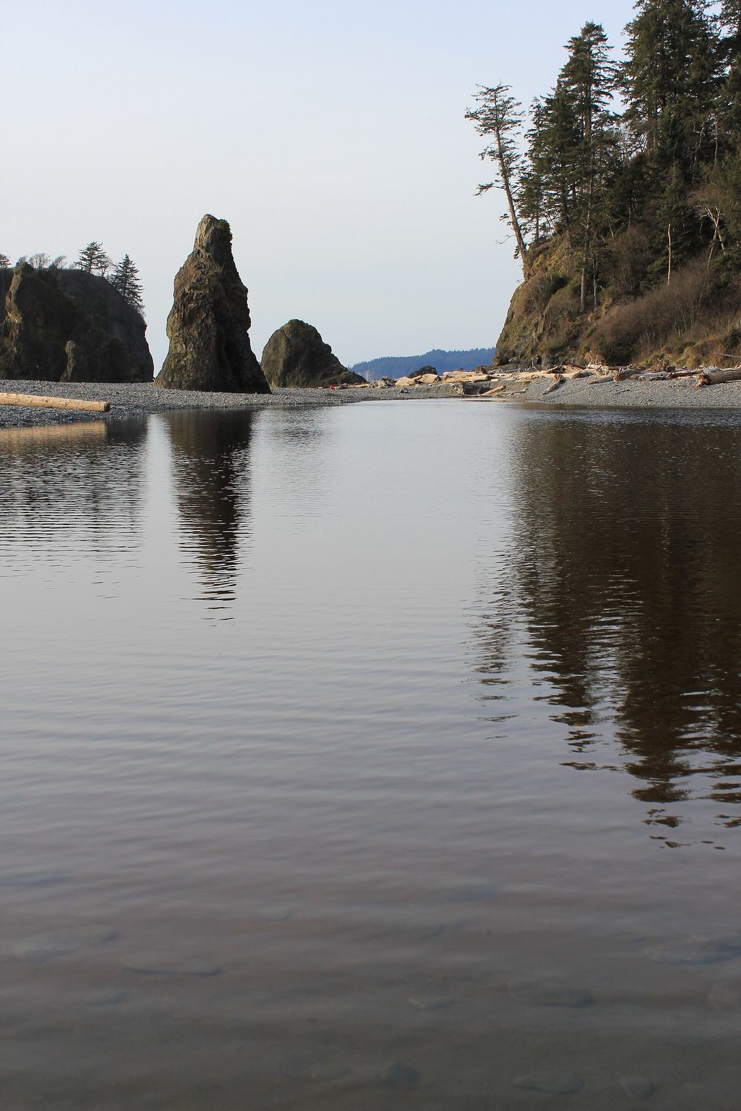
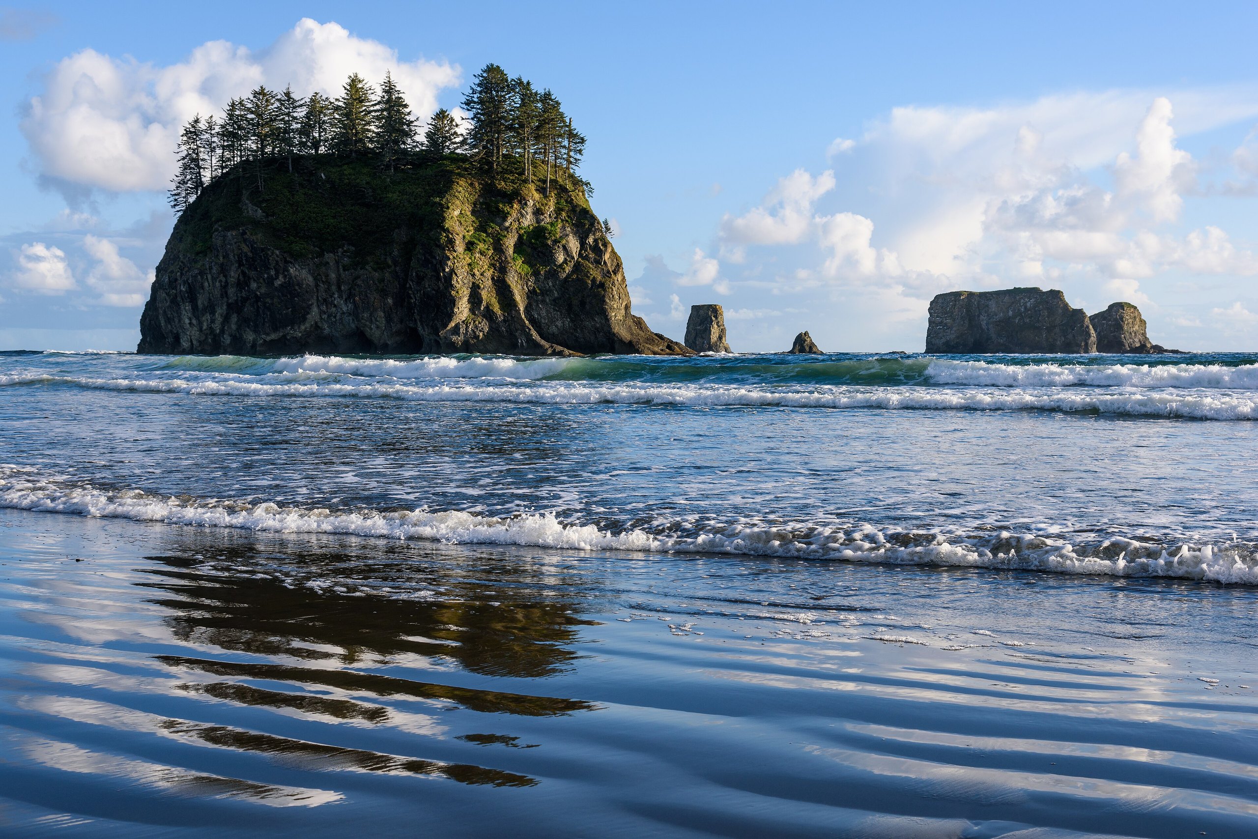
Ruby Beach is the most visited beach on the park’s southern coast, a few minutes’ walk down from US 101. Cedar Creek runs out across it between sea stacks, with Abbey Island, the largest, close offshore. At low tide the bases of the stacks are covered in sea stars, anemones and mussels, and you can walk a long way north on firm sand. The beach is named for the garnet grains that tint its sand. Come at low tide for the pools or at sunset for the light, and ideally both.
- Distance: a quarter mile (400 m) down to the beach; as far as you like along it
- Allow: 1 to 2 hours
- Start: Ruby Beach parking area, on US 101 about 27 miles (43 km) south of Forks
- When: all year, within two hours of low tide for tide pools
- Suits: everyone. Look at the pools without stepping in them or picking anything up.
7. Find the big trees around Lake Quinault
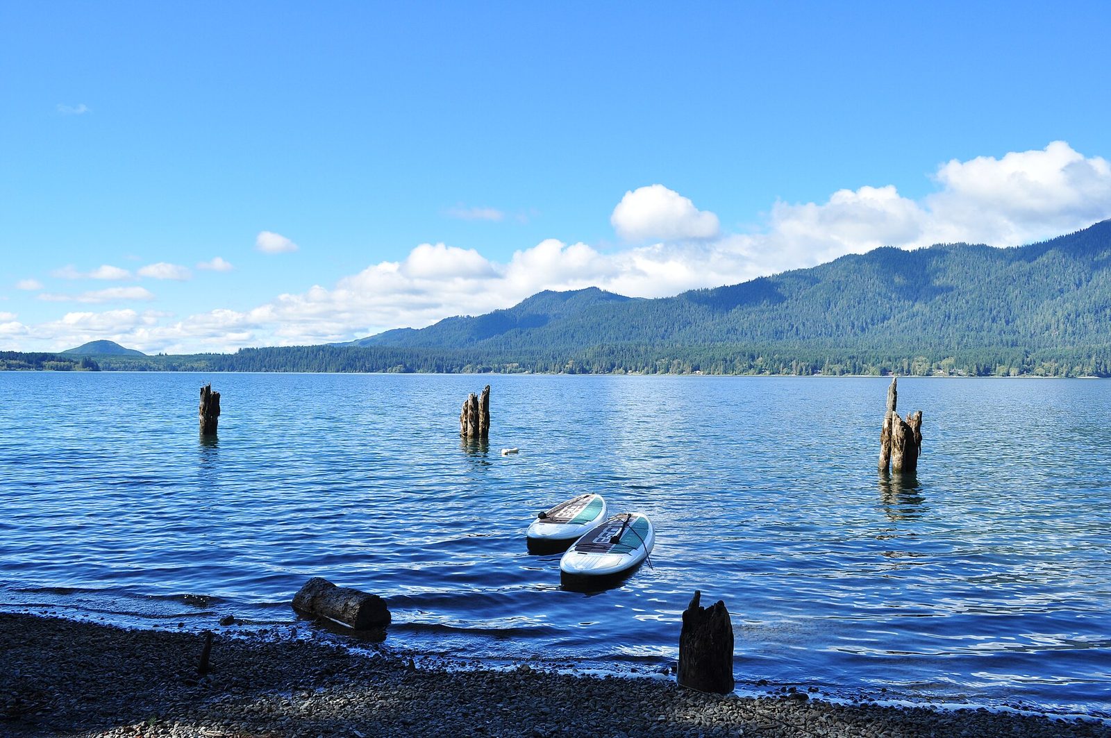
The Quinault valley, at the park’s southwest corner, is a second rain forest, with fewer visitors than the Hoh and some of the largest trees of their kinds anywhere. A Sitka spruce near the lake stands 191 feet (58 m) tall and is about 1,000 years old, a few minutes’ walk from the road. A 31-mile (50 km) loop drive, part of it gravel, circles the lake and goes up the valley past waterfalls, homestead meadows where elk graze, and short nature trails on both shores.
- Distance: a loop drive of 31 miles (50 km); the nature trails are each under a mile (1.6 km)
- Allow: half a day
- Start: South Shore Road, off US 101 at Amanda Park
- When: all year; elk are easiest to see early and late in the day
- Suits: everyone. Long vehicles should not take the gravel section.
8. Hike the Ozette Triangle
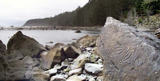
From Lake Ozette, two trails run through coastal forest to the sea, most of the way on raised cedar boardwalk, and 3 miles (4.8 km) of beach joins their ends. Walk out to Cape Alava, close to the westernmost point of the lower 48 states, then south along the shore past Wedding Rocks, where ancestors of the Makah people carved whales, faces and other figures into the boulders centuries ago. Turn inland at Sand Point. Sea otters, seals and bald eagles are common, and deer walk the beach.
The boardwalk is very slippery when wet, so wear soft-soled shoes with grip. One headland on the beach section cannot be passed at high tide. Look at the carvings without touching them.
- Distance: a loop of about 9 miles (14.5 km), almost level
- Allow: 5 to 6 hours
- Start: Ozette Ranger Station, at the end of the Hoko-Ozette Road
- When: all year; plan the beach section for a falling tide
- Suits: steady walkers. Camping on the coast needs a permit and a hard-sided food container.
9. Walk to Shi Shi Beach and Point of the Arches
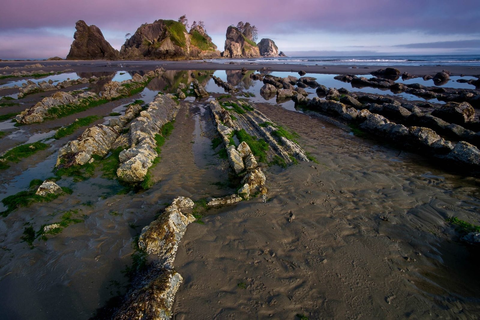
Shi Shi is the wildest beach in the park that can be reached in a day. The trail crosses Makah land through forest, on boardwalk and then deep mud, and drops down a steep bluff to 2 miles (3.2 km) of sand. At the south end is Point of the Arches, a line of sea stacks, some pierced through, with large tide pools at low water. Many people carry a tent and stay for sunset behind the stacks.
- Distance: 8 miles (13 km) round trip to Point of the Arches
- Allow: 5 to 6 hours
- Start: Shi Shi Trailhead on the Makah Reservation, south of Neah Bay
- When: May to October for the driest trail
- Needs: a Makah Recreation Pass to park, and a park wilderness permit to camp
- Suits: hikers who do not mind mud
10. Backpack to Enchanted Valley
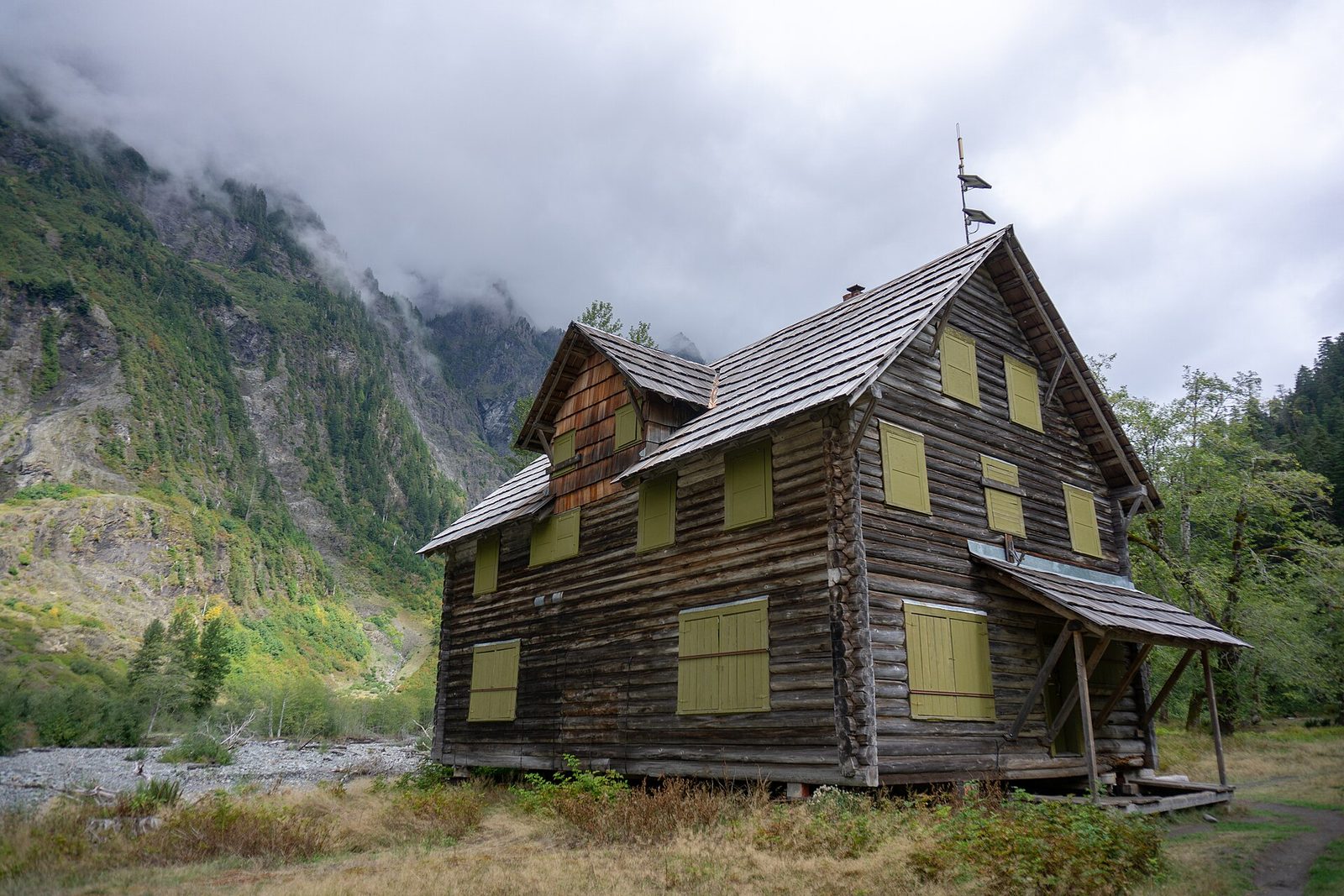
For a first long trip in the park, this is the classic. The trail follows the East Fork of the Quinault River up through old-growth rain forest for 13 miles (21 km), climbing gently, to a wide meadow under a cliff wall thousands of feet high. In spring and early summer, snowmelt pours down that wall in dozens of waterfalls. A log chalet from 1931 stands in the meadow, closed but much photographed. Black bears are often seen here, and elk graze the valley.
- Distance: about 13 miles (21 km) one way
- Allow: two to three days
- Start: Graves Creek Trailhead, at the end of the South Shore Road above Lake Quinault
- When: May to September; May and June for waterfalls
- Needs: a wilderness camping permit, and food stored in a bear canister or on the bear wire
- Suits: backpackers of moderate experience
Before you go
This list covers what stays the same from year to year. Road washouts, tide times, entry waits and permit rules change, and the National Park Service posts them on its own site. The link is on our Olympic National Park guide, with the map, permits and how to get there.