

Itasca State Park
Fast facts
- Size: about 32,700 acres (132 km²), with more than 100 lakes
- Known for: the headwaters of the Mississippi River at Lake Itasca
- Forest: old-growth red and white pine, some more than 200 years old
- Trails: about 49 miles (79 km) of hiking trail and 16 miles (26 km) of paved bike trail
- Camping: two campgrounds reached by car, cart-in sites and 11 backpack sites; also Douglas Lodge and cabins
- Established: 1891, the oldest state park in Minnesota
- Managed by: Minnesota Department of Natural Resources
The landscape
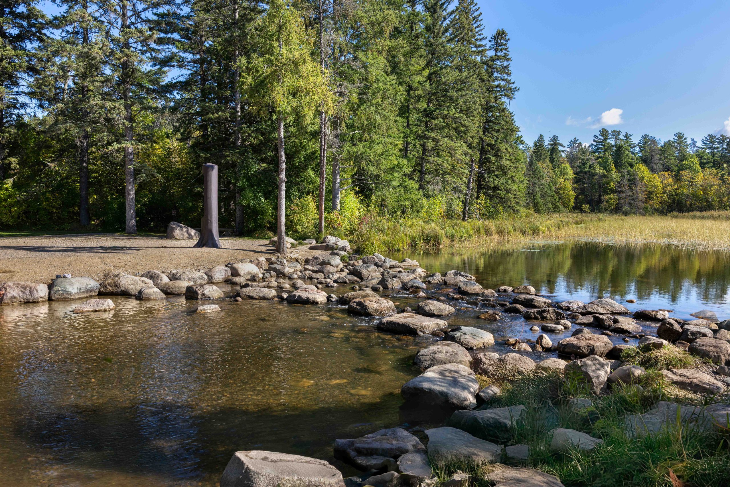
At the north end of Lake Itasca a small stream slips out over a line of boulders, about 18 feet (5.5 m) wide and ankle to knee deep. It is the beginning of the Mississippi River, which from here runs roughly 2,550 miles (4,100 km) to the Gulf of Mexico. Henry Schoolcraft was guided to the spot in 1832 by Ozaawindib, an Anishinaabe leader, and made up the name Itasca from the Latin words for truth and head.
The country around it is what the last glaciers left: a tumble of small hills and hollows, called knob and kettle, with a lake or bog in almost every hollow. The park protects some of the last large stands of old-growth red and white pine in Minnesota, saved from the loggers by one vote in the legislature in 1891. Loons, bald eagles, beavers, deer and black bears are all common.
Best time to go
June to September is the main season, with the lakes warm enough for swimming by July; June can be thick with mosquitoes and ticks. Late September and early October bring fall colour among the pines and far fewer insects. Winter is long, cold and snowy, and the park stays open for cross-country skiing, snowshoeing and snowmobiling, with a warming house at the Forest Inn. Ice goes off the lakes in late April or May, and spring trails are wet.
Getting there and around
From Park Rapids, drive north on US Highway 71 to the east entrance. The Jacob V. Brower Visitor Center, just inside, is open all year and is the place to buy a vehicle permit and get maps. Main Park Drive runs up the east side of Lake Itasca past Douglas Lodge and the campgrounds to the Mary Gibbs Mississippi Headwaters Center, about 6 miles (10 km) north. From there, Wilderness Drive makes a one-way loop of about 10 miles (16 km) back around the west side of the lake through the old pines.
Things to do
Everyone walks to the headwaters, a few minutes on a level, accessible path from the Mary Gibbs center, and most people cross the river on the stepping stones or wade it. Other short walks include Preacher’s Grove, a stand of red pines some 300 years old, and the Dr. Roberts Trail, a 2-mile (3.2 km) loop from Douglas Lodge through bog and forest. The Aiton Heights Fire Tower, 100 feet (30 m) tall, gives a view over the whole park to those who climb it.
The longer trails lead south and west into the quiet half of the park, past small lakes to the backpack campsites; the North Country National Scenic Trail crosses this section. A paved bike trail runs from the Visitor Center to the headwaters, and the Wilderness Drive is a good ride too. Canoes, kayaks, bikes and pontoon boats are rented in summer on Lake Itasca, and the lakes hold walleye, northern pike, bass and panfish. Douglas Lodge, opened in 1905, has rooms and a restaurant.
Staying safe
Ticks are the most likely problem. Deer ticks here carry Lyme disease and other illnesses, and they are active from snowmelt to late fall. Use repellent, wear long trousers tucked into socks on the trails, and check yourself, children and dogs every evening. Mosquitoes and biting flies peak in June and early July; a head net helps at the backpack sites.
Black bears live throughout the park. In the campgrounds keep food and coolers in a vehicle, and at backpack sites hang food or use the storage provided. The rocks at the headwaters are slippery, so help small children across. In high wind, stay out of the old pines, which drop heavy limbs. In winter, temperatures fall far below 0°F (−18°C); dress in layers, carry spare clothing and tell someone your route.
Know before you go
Pets are welcome on a leash of 6 feet (1.8 m) or less but not in buildings or on the swimming beach. Backpack sites are reached on foot, 1 to 5 miles (1.6 to 8 km) from the trailheads, and must be reserved. Some facilities, including the Douglas Lodge restaurant and the camping office, close in mid-October for the winter. This page is a general overview, not a live conditions report, so check seasonal hours and trail conditions with the Minnesota DNR before you go.
- Coordinates
- 47.1929, -95.2194
- Magnetic declination
- 1.3° E (2026)
Set this declination on your compass, then align it to the map's north lines; it is the angle between true north and magnetic north, refreshed each year.
How declination works, and how to navigate with a map and compass
A spread of the park’s main places shows straight away, and the rest appear as you zoom in. You can also search above, or pick any place from the lists below, and the map will go to it. Places in bold, marked , have a short description.
Getting there 2
Visitor centres
On the trail 7
Trailhead
Route
Campgrounds
Hut or shelter
Picnic site
Sights 44
Viewpoint
Lakes
Points of interest
Island
Map data comes from third-party sources and may be incomplete or out of date, so carry a current official map (terms).
Looking for one of these closer to home?Destinations near me by trip type →
- Best seasons
- Summer, Fall (colour), Winter (skiing and snowshoeing), Late spring
- Difficulty
- Easy to moderate
- Access / trailheads
- On US Highway 71 about 21 miles (34 km) north of Park Rapids and 30 miles (48 km) southwest of Bemidji. The east entrance leads to the Jacob V. Brower Visitor Center and Douglas Lodge; the north entrance is closest to the headwaters.
- Water
- Drinking water at the visitor centers, campgrounds and Douglas Lodge. Treat lake and stream water at the backpack sites.
- Cell / satellite coverage
- Usable near the visitor centers and lodge, patchy to none on the Wilderness Drive and backcountry trails. Wi-Fi at the Brower Visitor Center.
- Nearest ranger / SAR / emergency
- Emergencies: 911. Park office: 218-699-7251.
- Permits & regulations
- A Minnesota state park vehicle permit is required. Campsites, backpack sites, cabins and lodge rooms are reserved through Minnesota State Parks. A Minnesota fishing licence is needed to fish. The park is open daily from 8 a.m. to 10 p.m.
- Leave No Trace
- Stay on the trails and boardwalks, camp only at designated sites, store food away from bears, and do not move firewood into the park.
January
- Below freezing all day
February
- Below freezing all day
March
- Below-freezing nights
April
- Below-freezing nights
May
June
July
August
September
October This month
November
- Below-freezing nights
December
- Below freezing all day
What to bring depends on your trip: how long you’re out, where you sleep, and how far you go from the road. The planner builds the list for yours.
Plan a trip here →Averages for 1991–2020 from NOAA U.S. Climate Normals, measured at the Itasca Univ Of Minn station, 1 miles (2 km)2 km (1 miles) away at 1,490 feet (454 m)454 m (1,490 feet). Higher trails run colder, by about 3.5°F for every 1,000 ft (2°C per 300 m)2°C for every 300 m (3.5°F per 1,000 ft) of climb. Daylight runs from sunrise to sunset on the 15th, on the park’s own clock, for a level horizon. Valleys and slopes facing away from the sun are in shade earlier.
Nearby parks
-
 Jay Cooke State Park
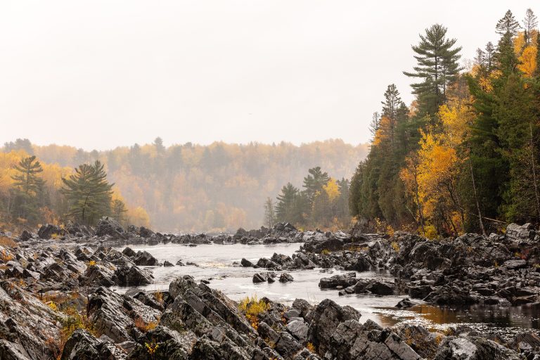
Tilted slate ledges and a swinging bridge over the St. Louis River gorge, 20 minutes from Duluth.
-
 Voyageurs National Park
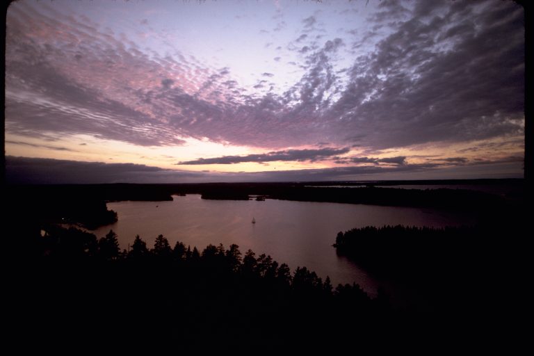
A water-based park on the Canadian border in northern Minnesota: connected lakes and islands for canoe and boat camping.
-
 Tettegouche State Park
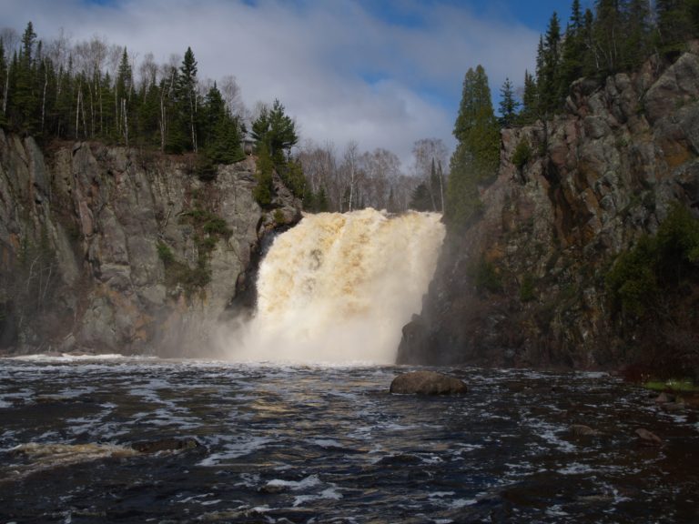
Lake Superior cliffs, the Baptism River's High Falls and inland lakes on Minnesota's North Shore, crossed by the Superior Hiking Trail.
-
 Quetico Provincial Park
Nearly 1,800 square miles (4,700 km²) of roadless canoe country on the Minnesota border, with almost no motors.
Straight-line distance between park centres. Road distance is usually longer.
Looking for somewhere closer to home?
See every park and monument within a day’s drive of where you are.