

Ecola State Park
Fast facts
- Coastline: 9 miles (14 km), wrapped around Tillamook Head
- Known for: the view south from Ecola Point, Indian Beach and the trail over Tillamook Head
- Trails: 8 miles (13 km) of the Oregon Coast Trail and the 2.5-mile (4 km) Clatsop Loop
- Camping: no campground; a small hike-in camp on Tillamook Head
- Established: 1932
- Gateway: Cannon Beach and Seaside
- Managed by: Oregon Parks and Recreation Department
The landscape
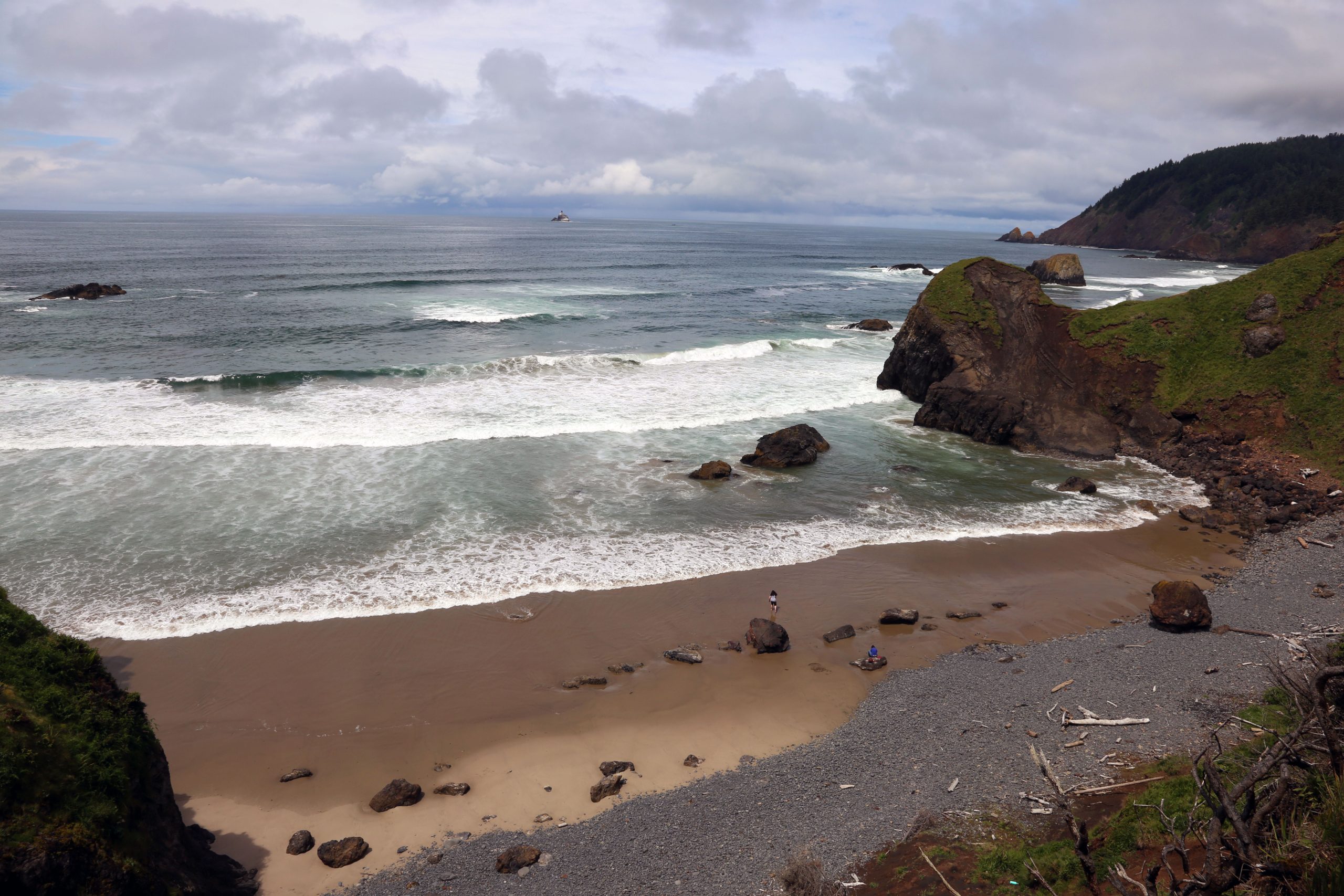
Ecola wraps around Tillamook Head, a forested headland of ancient lava that rises about 1,000 feet (300 m) straight from the Pacific between Seaside and Cannon Beach. The entrance road runs through old Sitka spruce and western hemlock and comes out on a grassy bluff at Ecola Point, where the view south takes in a line of sea stacks, the sweep of Cannon Beach and the coastal mountains behind. A mile (1.6 km) offshore, the abandoned Tillamook Rock Lighthouse stands on a bare rock.
The ground here moves. The soft rock under the forest slides after heavy rain, and landslides have closed the park for months at a time and carried away roads, trails and viewpoints. Roosevelt elk graze the meadows, bald eagles hunt along the cliffs, and gray whales pass close to shore on their migrations. In 1806 William Clark crossed the headland with a party from the Lewis and Clark Expedition to trade for blubber from a beached whale; ecola is the Chinook Jargon word for whale.
Best time to go
July to September has the driest weather and the busiest parking lots, which fill by late morning on fine days. Fall is quieter and often clear. Winter brings storms, big surf and rain, along with the gray whale migration in late December and again from March to May. The park is open all year, but the entrance road, Indian Beach and sections of trail close without much warning after slides and storms, more often in the wet months.
Getting there and around
From US Highway 101, take the north exit into Cannon Beach and follow the signs up Ecola Park Road. The road is paved but narrow and twisting, with room for one vehicle in places, and the park advises against bringing motorhomes or trailers. Ecola Point, at the end of the first stretch, has the main viewpoint, picnic area and toilets; the road continues about 1.5 miles (2.4 km) to Indian Beach. A parking permit is needed at both. Hikers can also walk in from the Tillamook Head trailhead at the south end of Seaside.
Things to do
The viewpoint at Ecola Point is a short walk from the car. From Indian Beach, the Clatsop Loop climbs 2.5 miles (4 km) through spruce forest to Hiker’s Camp and a view of the Tillamook Rock Lighthouse, following the route Clark’s party took in 1806. The Tillamook Head trail continues north over the headland to Seaside, about 6 miles (10 km) one way from Indian Beach, with steep, muddy stretches and viewpoints high above the sea. Trails also drop to Crescent Beach, a quiet cove reached only on foot.
Indian Beach is a sand and cobble cove that draws surfers and has tide pools at low water. Elk are often seen near the entrance road, and Ecola Point is a good place to watch for whales in winter and spring. Hiker’s Camp has three small bunk shelters, a fire ring and a toilet, with no water, and is used by backpackers on the Oregon Coast Trail.
Staying safe
The ocean is the main danger. Sneaker waves surge far up the beach without warning and can roll the drift logs that lie on the sand; never turn your back on the sea and stay off logs in or near the water. The water is cold all year and rip currents are strong. Check a tide table before walking to tide pools or around a point, because a rising tide can cut off the way back.
On the trails, keep back from cliff edges, which are undercut and break away, and respect closures: a closed trail here usually means the ground has gone. The headland trails are muddy and slick with roots for much of the year, so wear boots. In strong wind, leave the forest, since old spruce drop limbs and fall. Phone signal is poor beyond Ecola Point.
Know before you go
Dogs are welcome on a leash. Drones need a permit. Overnight parking for Hiker’s Camp has its own rules, so ask at the entrance booth before leaving a car. This page is a general overview, not a live conditions report, so check for road and trail closures with Oregon State Parks before you go, and look up the day’s tides.
- Coordinates
- 45.9432, -123.9723
- Magnetic declination
- 14.8° E (2026)
Set this declination on your compass, then align it to the map's north lines; it is the angle between true north and magnetic north, refreshed each year.
How declination works, and how to navigate with a map and compass
A spread of the park’s main places shows straight away, and the rest appear as you zoom in. You can also search above, or pick any place from the lists below, and the map will go to it. Places in bold, marked , have a short description.
Getting there 1
Park entrance
On the trail 3
Routes
Campground
Sights 9
Viewpoints
Beaches
Point of interest
Peaks
Map data comes from third-party sources and may be incomplete or out of date, so carry a current official map (terms).
Looking for one of these closer to home?Destinations near me by trip type →
- Best seasons
- Summer, Early fall, Winter and spring (whale migration and storm watching)
- Difficulty
- Easy to moderate
- Access / trailheads
- The entrance road leaves the north end of Cannon Beach and winds about 2 miles (3 km) through forest to Ecola Point, then on to Indian Beach. It is narrow, steep and unsuited to motorhomes and trailers. The Tillamook Head trail can also be started from Seaside.
- Water
- Flush toilets and water at Ecola Point and Indian Beach. None on the trails or at Hiker's Camp, so carry what you need.
- Cell / satellite coverage
- Patchy. Usable at Ecola Point, weak to none at Indian Beach and on Tillamook Head.
- Nearest ranger / SAR / emergency
- Emergencies: 911. Park office: 503-812-0650.
- Permits & regulations
- A day-use parking permit is required and can be bought on site. There is no campground; the hike-in Hiker's Camp on Tillamook Head is first come, first served.
- Leave No Trace
- Stay on the trail and back from cliff edges, leave tide-pool animals where they are, keep dogs leashed, and pack out all trash.
January
February
March
April
May
June
July
August
September
October This month
November
December
What to bring depends on your trip: how long you’re out, where you sleep, and how far you go from the road. The planner builds the list for yours.
Plan a trip here →Averages for 1991–2020 from NOAA U.S. Climate Normals, measured at the Seaside station, 4 miles (6 km)6 km (4 miles) away at 10 feet (3 m)3 m (10 feet). Higher trails run colder, by about 3.5°F for every 1,000 ft (2°C per 300 m)2°C for every 300 m (3.5°F per 1,000 ft) of climb. Daylight runs from sunrise to sunset on the 15th, on the park’s own clock, for a level horizon. Valleys and slopes facing away from the sun are in shade earlier.
Nearby parks
-
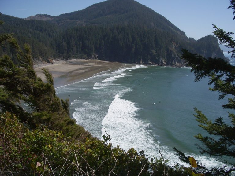 Oswald West State Park
A sheltered surf cove, two wild headlands and one of Oregon's best coastal rainforests, a half-mile (800 m) walk from Highway 101.
-
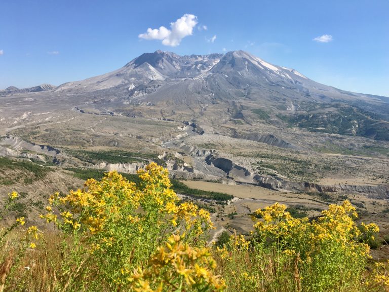 Mount St. Helens National Volcanic Monument
The volcano that erupted in 1980: lava tubes and easy walks on the south side, a summit climb and the round-the-mountain Loowit Trail.
-
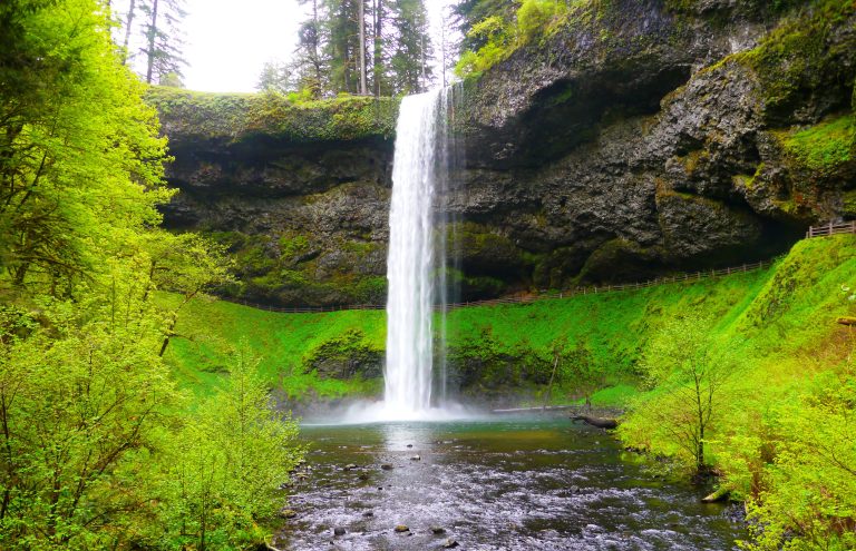 Silver Falls State Park
Ten waterfalls on one 7.2-mile (11.6 km) loop through a forested basalt canyon, four of them with the trail running behind the water.
-
 Mount Rainier National Park
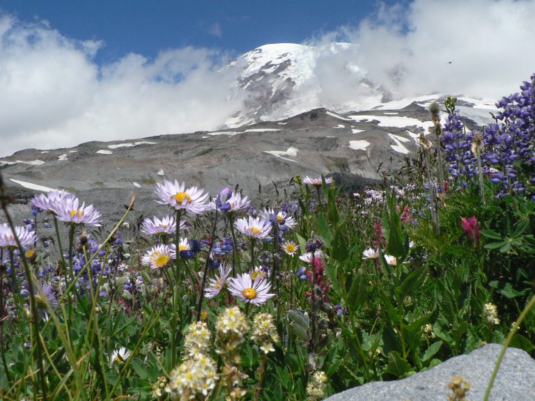
An ice-clad volcano 14,410 feet (4,392 m) high above wildflower meadows, circled by the Wonderland Trail.
Straight-line distance between park centres. Road distance is usually longer.
Looking for somewhere closer to home?
See every park and monument within a day’s drive of where you are.