

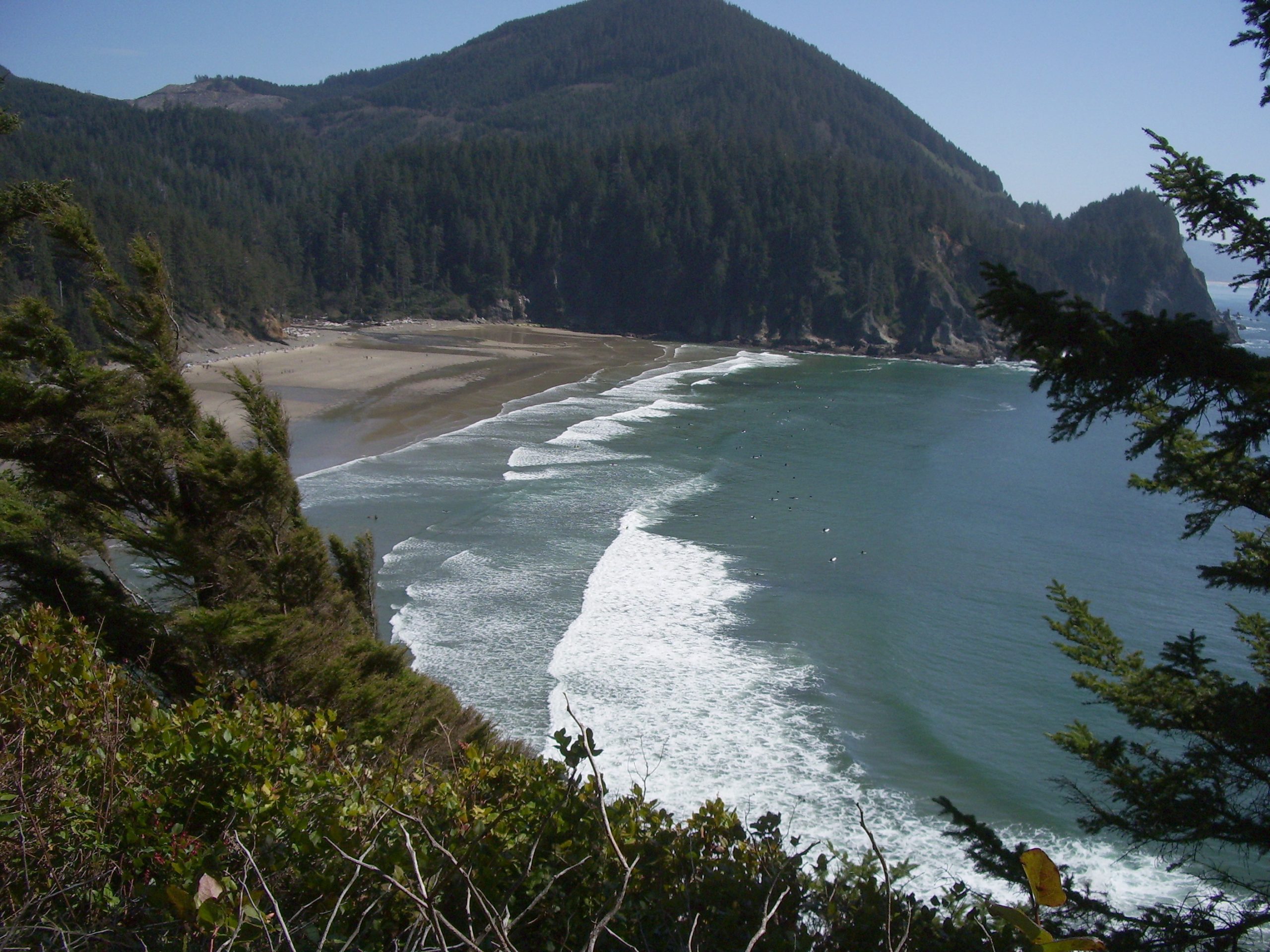
Oswald West State Park
Fast facts
- Size: about 2,480 acres (10 km²) along 4 miles (6 km) of coast
- Known for: Short Sand Beach, Cape Falcon and Neahkahnie Mountain
- Trails: 13 miles (21 km) of the Oregon Coast Trail runs the length of the park
- Camping: none; day use only since 2008
- Named: 1958, for Governor Oswald West, who kept Oregon’s beaches public
- Gateway: Manzanita and Cannon Beach
- Managed by: Oregon Parks and Recreation Department
The landscape
Oswald West is a stretch of the north Oregon coast where the mountains come down to the sea. Two headlands frame it: Cape Falcon to the north, a narrow finger of basalt above the surf, and Neahkahnie Mountain to the south, a steep, open-sided peak that drops about 1,600 feet (490 m) to the ocean. Between them lies Smugglers Cove and Short Sand Beach, a pocket of sand and cobble where two creeks meet the Pacific.
The forest is the other reason to come. Sitka spruce, western red cedar and western hemlock, some of them centuries old and more than 10 feet (3 m) through, stand over salal, salmonberry and sword fern in one of the best-preserved coastal rainforests in the state. The waters offshore are protected as the Cape Falcon Marine Reserve.
Best time to go
Summer and early fall have the driest trails and the warmest days, and the main lot fills early on weekends. Spring is green and wet, with gray whales passing from March to May. Winter brings storms and heavy surf, good for watching from the headlands and poor for walking the beach. The park is open for day use all year. Surfers use the cove in every season, in wetsuits.
Getting there and around
The park straddles US Highway 101, about two hours from Portland. Four signed parking lots sit along the highway. From the main lot a trail passes under the road and follows Short Sand Creek for half a mile (800 m) through old forest to the picnic area and the beach. The Cape Falcon trail starts from the lot just to the north, and the Neahkahnie Mountain trails start from pullouts farther south. Everything is carried to the beach by hand, surfboards included.
Things to do
Short Sand Beach is the easy trip: a level half-mile (800 m) walk to a sheltered cove with surfing, tide pools at low water and a waterfall at the north end. The Cape Falcon trail runs through big spruce to the open tip of the cape, about 5 miles (8 km) round trip, with views back to the beach and south to Neahkahnie. The climb to the summit of Neahkahnie Mountain is shorter and steeper, about 3 miles (5 km) round trip from the south trailhead, and ends on a rocky crest with a view down the coast to Manzanita and Nehalem Bay.
Hikers with more time can link the two on the Oregon Coast Trail, which crosses the whole park from Arch Cape to the edge of Manzanita in 13 miles (21 km). The marine reserve makes the tide pools and nearshore water good for watching wildlife, including seabirds, seals and, in season, whales.
Staying safe
Treat the ocean with respect. Sneaker waves run far up the beach without warning, and drift logs roll in the surf with enough force to kill; stay off them and never turn your back on the water. The sea is cold all year and rip currents form along the cove, so swimmers and new surfers should stay close in and never go out alone. Check a tide table before exploring the rocks at either end of the beach.
On Cape Falcon and Neahkahnie the trail runs beside unfenced cliffs whose edges are undercut; keep back, and keep children and dogs close. The trails are muddy and laced with roots most of the year. The old trees shed limbs and sometimes fall, which is why the campground closed in 2008, so leave the forest in high wind. Take care crossing Highway 101 and park only in the lots.
Know before you go
Dogs are welcome on a leash. There is no camping in the park; the nearest state campground is at Nehalem Bay, a few miles south. Nothing may be taken from the marine reserve: no fish, shellfish, seaweed or tide-pool animals. This page is a general overview, not a live conditions report, so check for trail closures and storm damage with Oregon State Parks before you go, and look up the day’s tides.
- Coordinates
- 45.7716, -123.9546
- Magnetic declination
- 14.7° E (2026)
Set this declination on your compass, then align it to the map's north lines; it is the angle between true north and magnetic north, refreshed each year.
How declination works, and how to navigate with a map and compass
A spread of the park’s main places shows straight away, and the rest appear as you zoom in. You can also search above, or pick any place from the lists below, and the map will go to it. Places in bold, marked , have a short description.
Getting there 2
Park entrances
On the trail 5
Trailheads
Routes
Sights 6
Viewpoint
Waterfall
Beaches
Peaks
Map data comes from third-party sources and may be incomplete or out of date, so carry a current official map (terms).
Looking for one of these closer to home?Destinations near me by trip type →
- Best seasons
- Summer, Early fall, Spring, Winter (storm watching)
- Difficulty
- Easy to moderate
- Access / trailheads
- On US Highway 101 about 10 miles (16 km) south of Cannon Beach and 4 miles (6 km) north of Manzanita. Four parking lots along the highway serve the trails. Park only in the lots; cars on the shoulder may be cited.
- Water
- Flush toilets and water at the main parking lot and near Short Sand Beach. None on the headland trails.
- Cell / satellite coverage
- Weak along the highway and at the beach; better on the open slopes of Neahkahnie Mountain.
- Nearest ranger / SAR / emergency
- Emergencies: 911. Park office: 503-812-0650.
- Permits & regulations
- A day-use parking permit is required and can be bought on site. The park is day use only; there is no camping. No fish, shellfish or seaweed may be taken in the Cape Falcon Marine Reserve offshore.
- Leave No Trace
- Stay on the trail, keep back from cliff edges, leave tide-pool and marine life alone, keep dogs leashed, and pack out all trash.
January
February
March
April
May
June
July
August
September
October This month
November
December
What to bring depends on your trip: how long you’re out, where you sleep, and how far you go from the road. The planner builds the list for yours.
Plan a trip here →Averages for 1991–2020 from NOAA U.S. Climate Normals, measured at the Seaside station, 15 miles (24 km)24 km (15 miles) away at 10 feet (3 m)3 m (10 feet). Higher trails run colder, by about 3.5°F for every 1,000 ft (2°C per 300 m)2°C for every 300 m (3.5°F per 1,000 ft) of climb. Daylight runs from sunrise to sunset on the 15th, on the park’s own clock, for a level horizon. Valleys and slopes facing away from the sun are in shade earlier.
Nearby parks
-
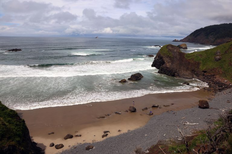 Ecola State Park
Nine miles (14 km) of headlands, sea stacks and old-growth spruce around Tillamook Head, between Cannon Beach and Seaside.
-
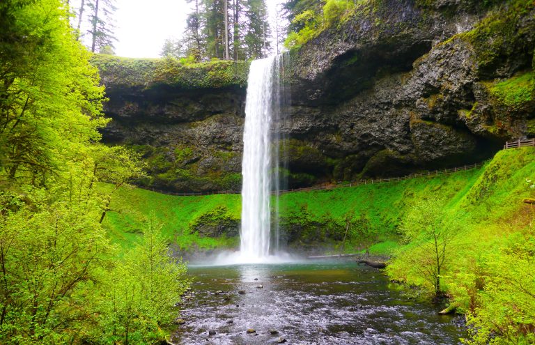 Silver Falls State Park
Ten waterfalls on one 7.2-mile (11.6 km) loop through a forested basalt canyon, four of them with the trail running behind the water.
-
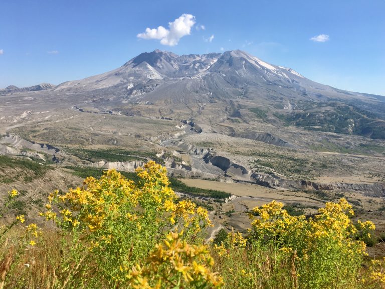 Mount St. Helens National Volcanic Monument
The volcano that erupted in 1980: lava tubes and easy walks on the south side, a summit climb and the round-the-mountain Loowit Trail.
-
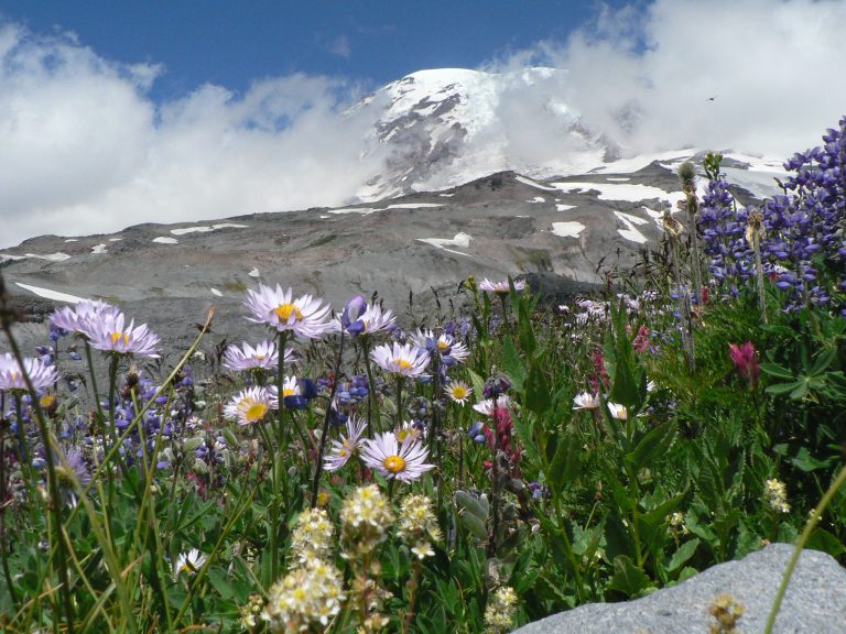 Mount Rainier National Park
An ice-clad volcano 14,410 feet (4,392 m) high above wildflower meadows, circled by the Wonderland Trail.
Straight-line distance between park centres. Road distance is usually longer.
Looking for somewhere closer to home?
See every park and monument within a day’s drive of where you are.