

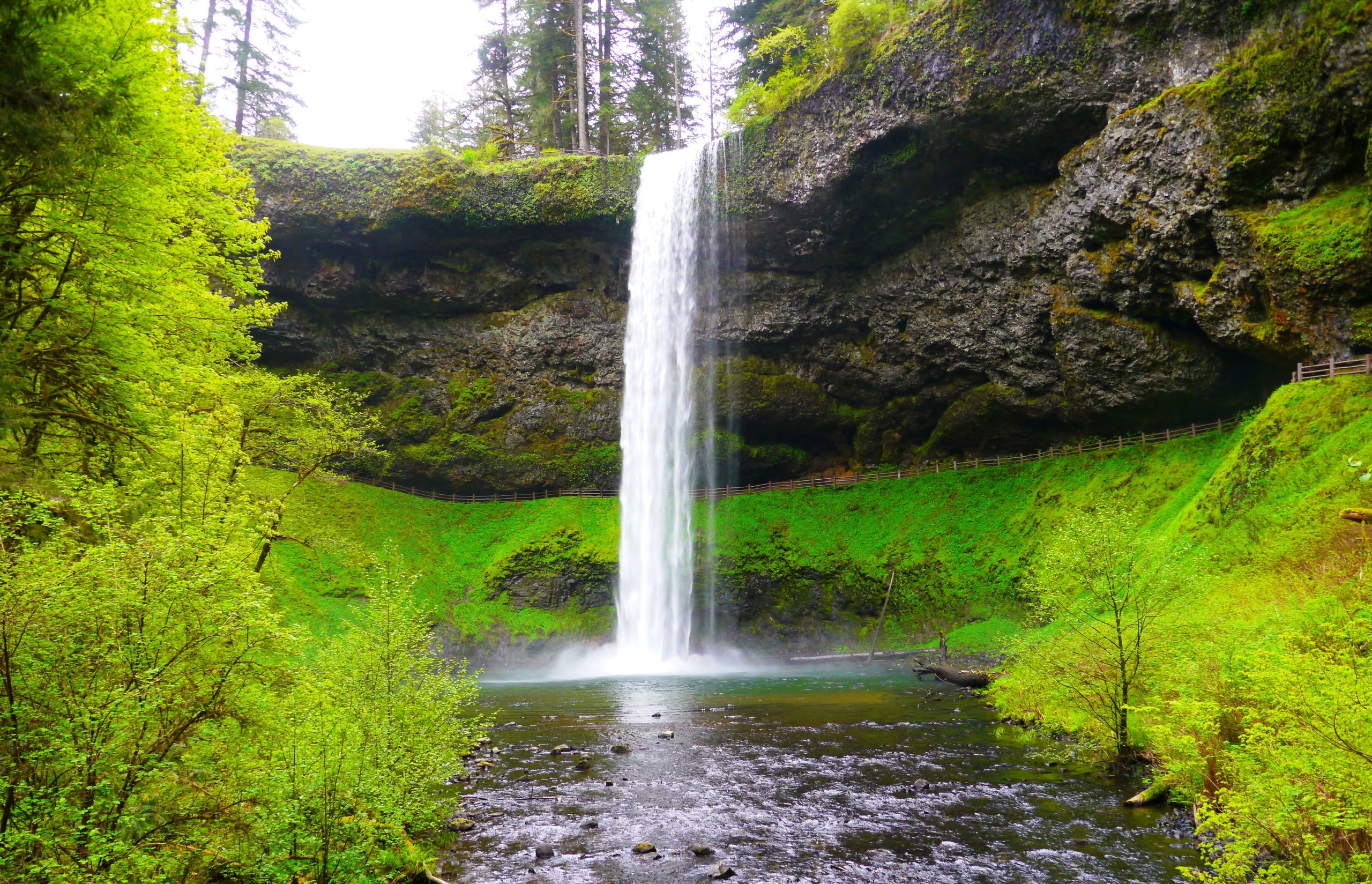
Silver Falls State Park
Fast facts
- Size: more than 9,000 acres (36 km²), the largest state park in Oregon
- Known for: the Trail of Ten Falls and 177-foot (54 m) South Falls
- Trails: the 7.2-mile (11.6 km) canyon loop plus more than 35 miles (56 km) of backcountry trail
- Camping: 91 campsites and 14 cabins in the main campground, plus a horse camp; no backcountry camping
- Opened: 1933
- Gateway: Silverton and Salem
- Managed by: Oregon Parks and Recreation Department
The landscape
The north and south forks of Silver Creek have cut a canyon into the foothills of the Cascades, through thick layers of basalt that flowed here as lava about 15 million years ago. Under the basalt lies softer rock that wears away faster, so the creeks drop over hard ledges into deep, hollowed-out bowls, and at four of the falls the trail passes through the space behind the water. South Falls, the best known, is a single drop of 177 feet (54 m).
The canyon is temperate rainforest: Douglas-fir and western hemlock overhead, bigleaf maple hung with moss, and sword fern on the ground. Nearly all of it was logged before the park was created, and what you walk through is forest that has grown back in less than a century. The Civilian Conservation Corps built the trail, the stonework and the South Falls Lodge in the 1930s.
Best time to go
The falls run all year but are at their fullest from late fall to spring, when the Willamette Valley gets its rain. Spring brings high water and new green; October brings yellow maples. Summer has the best weather and the thinnest falls, and the South Falls parking lot fills on fine weekends. Winter is quiet and often wet, and when it freezes the spray coats the trail behind the falls in ice, so parts of the loop can be hazardous or closed. Day use and some campsites and cabins are open all year; the tent sites are seasonal, from May to October.
Getting there and around
Oregon Route 214 loops through the park from Silverton in the north to Sublimity and Salem in the west. Most visitors park at the South Falls day-use area, where the lodge, cafe and the start of the canyon loop are. The North Falls and Winter Falls trailheads, farther along the highway, give shorter routes to the upper falls, and the North Canyon trailhead serves the accessible North Rim Trail. A parking permit is needed at every lot. The canyon loop is signed at each junction.
Things to do
The Trail of Ten Falls is the reason to come. The full loop is 7.2 miles (11.6 km) with about 800 feet (240 m) of climbing, rated moderate, and passes ten waterfalls, going behind South Falls, Lower South Falls, Middle North Falls and North Falls. Connecting trails make shorter loops: from South Falls down behind the falls and back by the Maple Ridge Trail, or from the Winter Falls trailhead to the cluster of falls in the middle of the canyon. The North Rim Trail is a mile (1.6 km) of wide, firm surface to a view of North Falls and suits wheelchairs and strollers.
Away from the canyon, more than 35 miles (56 km) of backcountry trail in the park’s southern hills are open to hikers, mountain bikers and horse riders, and a paved bike path runs about 4 miles (6.4 km) near the campground and day-use area. The South Falls day-use area has lawns, picnic shelters, a playground, a swimming area on the creek and an off-leash area for dogs.
Staying safe
The trail is wet most of the year. The stretches behind the falls are muddy rock under constant spray, and the long stairways down into the canyon are slick, so wear shoes with good tread and take the steps slowly. Stay on the trail side of the railings: the canyon walls are sheer and the rock at the edge is rotten. In freezing weather the spray turns to ice behind the falls; carry traction devices, or turn back if the trail is glazed. In high wind, leave the forest, since saturated ground lets trees fall.
The loop takes most people three to four hours, and the canyon is dark well before sunset, so start early in the short days of winter and carry a light. There is no phone signal in the canyon. Black bears and cougars live in the remote southern part of the park; on the backcountry trails, keep children close and make noise.
Know before you go
Pets are not allowed on the Canyon, Winter Falls or Maple Ridge trails, which together make up most of the Trail of Ten Falls. Leashed dogs are welcome on the Rim Trail, the bike path and the backcountry trails. Seven of the cabins take pets. This page is a general overview, not a live conditions report, so check for trail closures, construction and winter conditions with Oregon State Parks before you go.
- Coordinates
- 44.8660, -122.6364
- Magnetic declination
- 14.3° E (2026)
Set this declination on your compass, then align it to the map's north lines; it is the angle between true north and magnetic north, refreshed each year.
How declination works, and how to navigate with a map and compass
A spread of the park’s main places shows straight away, and the rest appear as you zoom in. You can also search above, or pick any place from the lists below, and the map will go to it. Places in bold, marked , have a short description.
Getting there 2
Park entrances
On the trail 8
Trailhead
Routes
Campgrounds
Sights 13
Viewpoint
Waterfalls
Point of interest
Map data comes from third-party sources and may be incomplete or out of date, so carry a current official map (terms).
Looking for one of these closer to home?Destinations near me by trip type →
- Best seasons
- Spring (highest water), Fall (colour), Winter, Summer
- Difficulty
- Easy to moderate
- Access / trailheads
- About 20 miles (32 km) east of Salem and 14 miles (23 km) south of Silverton on Oregon Route 214, which runs through the park past the South Falls and North Falls trailheads.
- Water
- Drinking water and flush toilets at the South Falls day-use area and the campground. None along the canyon trail, so carry water for the loop.
- Cell / satellite coverage
- Weak and unreliable in most of the park, and absent in the canyon.
- Nearest ranger / SAR / emergency
- Emergencies: 911. Park office: 503-873-8681.
- Permits & regulations
- A day-use parking permit is required and can be bought on site. No registration or timed entry is needed for the Trail of Ten Falls. Campsites and cabins can be reserved up to six months ahead.
- Leave No Trace
- Stay on the trail and behind the railings, do not cut switchbacks, and pack out all trash. Pets are not allowed on the canyon trails.
January
February
March
April
May
June
July
August
September
October This month
November
December
What to bring depends on your trip: how long you’re out, where you sleep, and how far you go from the road. The planner builds the list for yours.
Plan a trip here →Averages for 1991–2020 from NOAA U.S. Climate Normals, measured at the Silver Creek Falls station, 1 miles (1 km)1 km (1 miles) away at 1,350 feet (411 m)411 m (1,350 feet). Higher trails run colder, by about 3.5°F for every 1,000 ft (2°C per 300 m)2°C for every 300 m (3.5°F per 1,000 ft) of climb. Daylight runs from sunrise to sunset on the 15th, on the park’s own clock, for a level horizon. Valleys and slopes facing away from the sun are in shade earlier.
Nearby parks
-
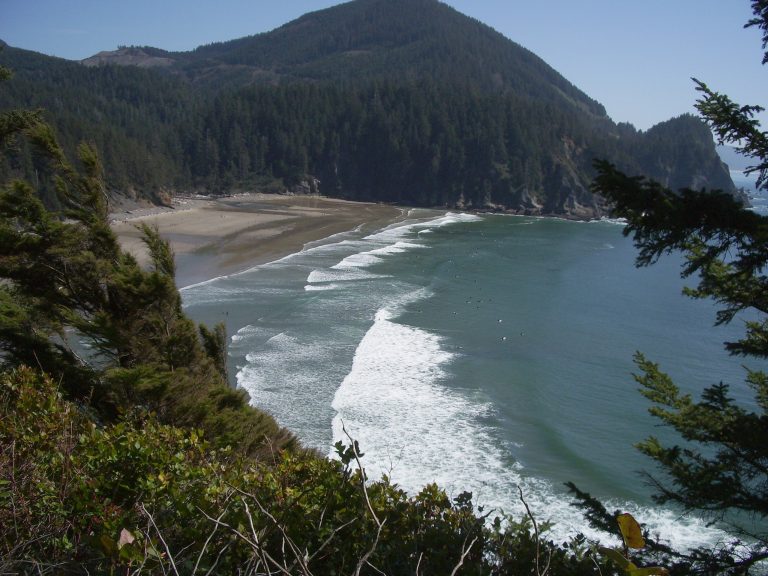 Oswald West State Park
A sheltered surf cove, two wild headlands and one of Oregon's best coastal rainforests, a half-mile (800 m) walk from Highway 101.
-
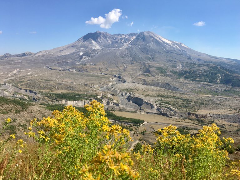 Mount St. Helens National Volcanic Monument
The volcano that erupted in 1980: lava tubes and easy walks on the south side, a summit climb and the round-the-mountain Loowit Trail.
-
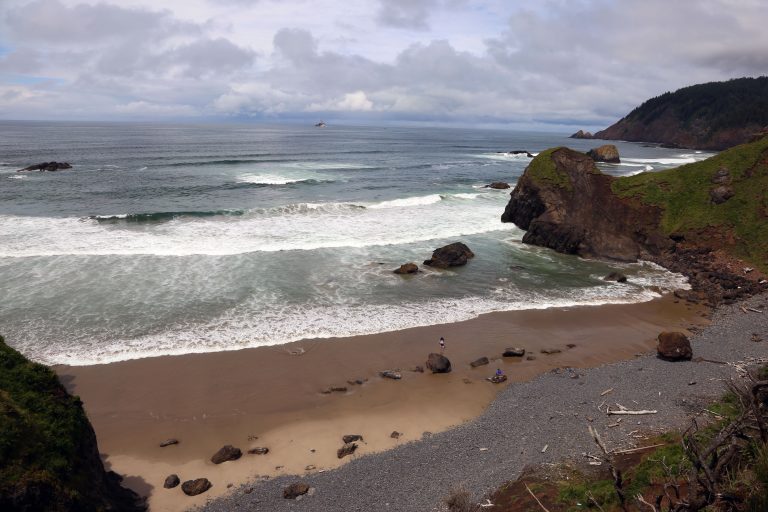 Ecola State Park
Nine miles (14 km) of headlands, sea stacks and old-growth spruce around Tillamook Head, between Cannon Beach and Seaside.
-
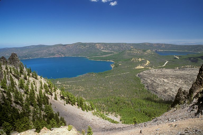 Newberry National Volcanic Monument
A caldera with two lakes, a glassy obsidian flow and a mile-long lava tube, just south of Bend, Oregon.
Straight-line distance between park centres. Road distance is usually longer.
Looking for somewhere closer to home?
See every park and monument within a day’s drive of where you are.