

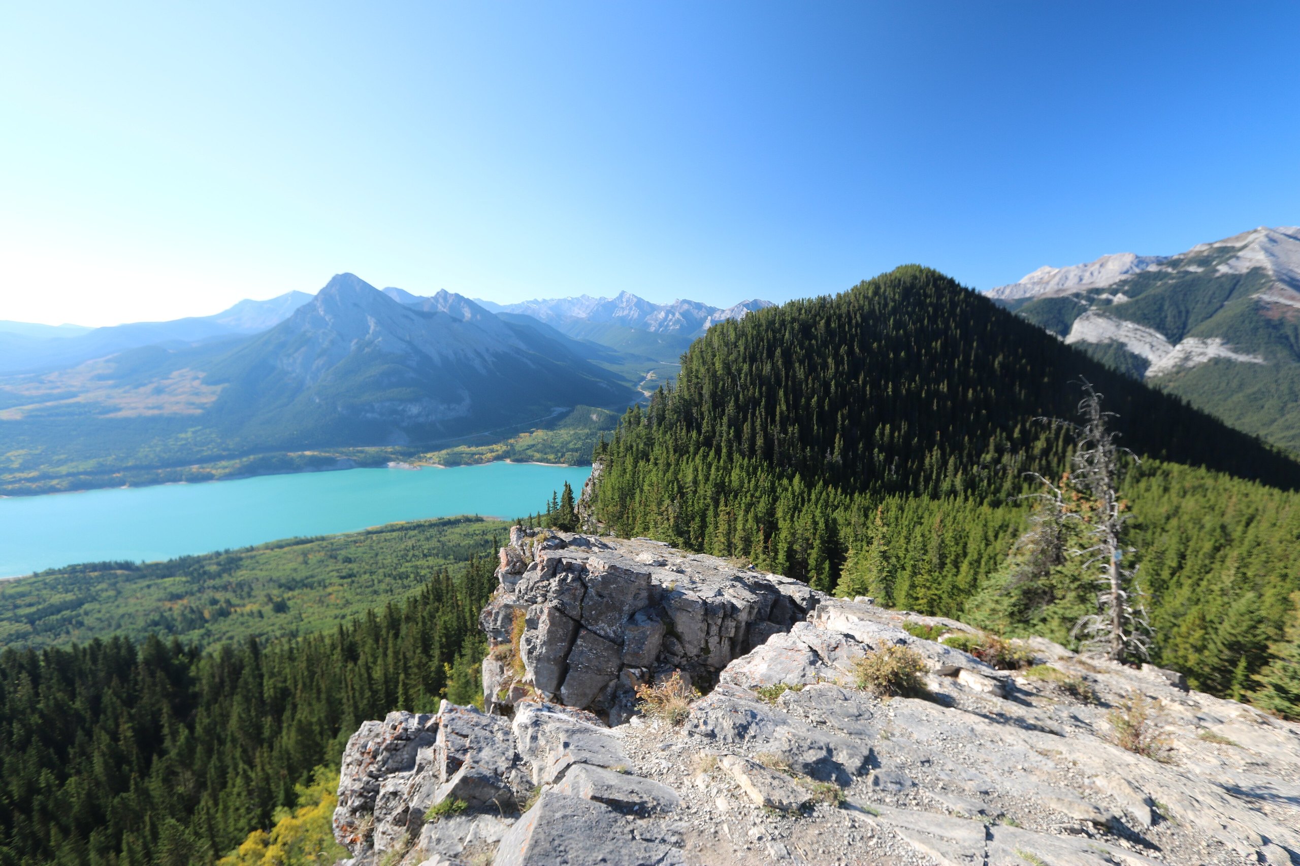
Top 10 things to do in Bow Valley Provincial Park
Bow Valley Provincial Park is spread along the Trans-Canada Highway and Highway 40 in several parcels, so what you do there depends on which part you drive to. These are the ten outings we would put first. The order starts with what the park is known for, then goes by what an outing gives back for the time and effort it takes. Distances and climbs are Alberta Parks figures; times are estimates for a steady walker and do not include stops.
Every vehicle needs a Kananaskis Conservation Pass, and bears use the whole valley, so carry bear spray on any trail here, including the short ones.
1. Hike the Prairie View Trail above Barrier Lake
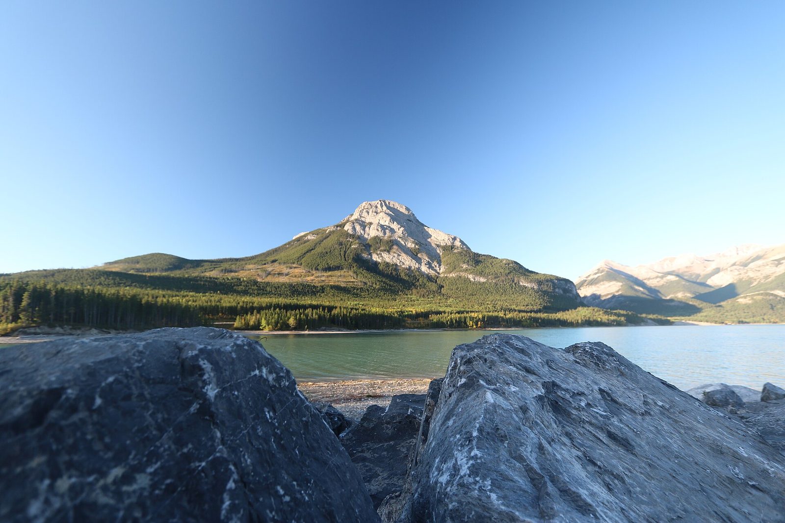
This is the park’s best-known hike. From Barrier Dam the trail crosses the dam, then switchbacks up an old forestry road to a rock viewpoint high above the lake, with the Kananaskis Valley running south and the prairie opening out to the east. The climb is steady the whole way.
The maintained trail ends at the viewpoint. A rougher, unmaintained path carries on to the fire lookout on Yates Mountain. For a longer day, go down the far side over Jewell Pass, past Jewell Falls, and come back along the lakeshore on the Stoney Trail: a loop of about 8.4 miles (13.5 km).
- Distance: 4.1 miles (6.6 km) one way to the viewpoint
- Climb: 1,368 feet (421 m)
- Allow: 3 to 4 hours out and back; 4 to 5.5 hours for the Jewell Pass loop
- Start: Barrier Dam Day Use Area, Highway 40
- When: June to mid-October. Snow and ice can stay on the upper trail into May.
- Suits: hikers used to a steady climb, and older children. Cyclists share the trail.
2. Walk the Many Springs loop in wildflower season
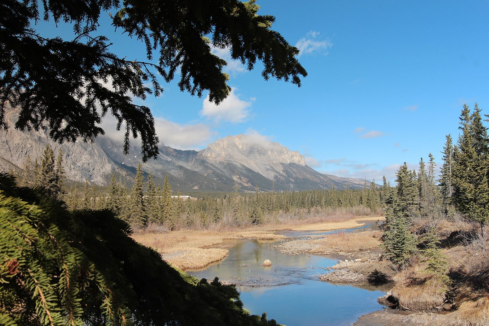
Springs feed this wetland all year, and it holds plants that are uncommon elsewhere in the valley. The trail circles the basin on a level path, with a viewing deck over the springs and signs about what grows there. In June the yellow lady’s slipper orchids are in flower, one of about six kinds of orchid found along the loop, and wood lilies and gaillardia follow later in the month. Birds use the wetland through the summer and beavers are active in it.
There is no drinking water at the trailhead. The road to it is closed to vehicles in winter, so the loop is then a longer walk in from the gate.
- Distance: a loop of about a mile (1.6 km), nearly level
- Allow: 30 to 45 minutes, longer with a flower guide or binoculars
- Start: Many Springs trailhead, in the main part of the park off Highway 1X
- When: June for orchids; May to September for birds
- Suits: anyone, including young children
3. Paddle Barrier Lake
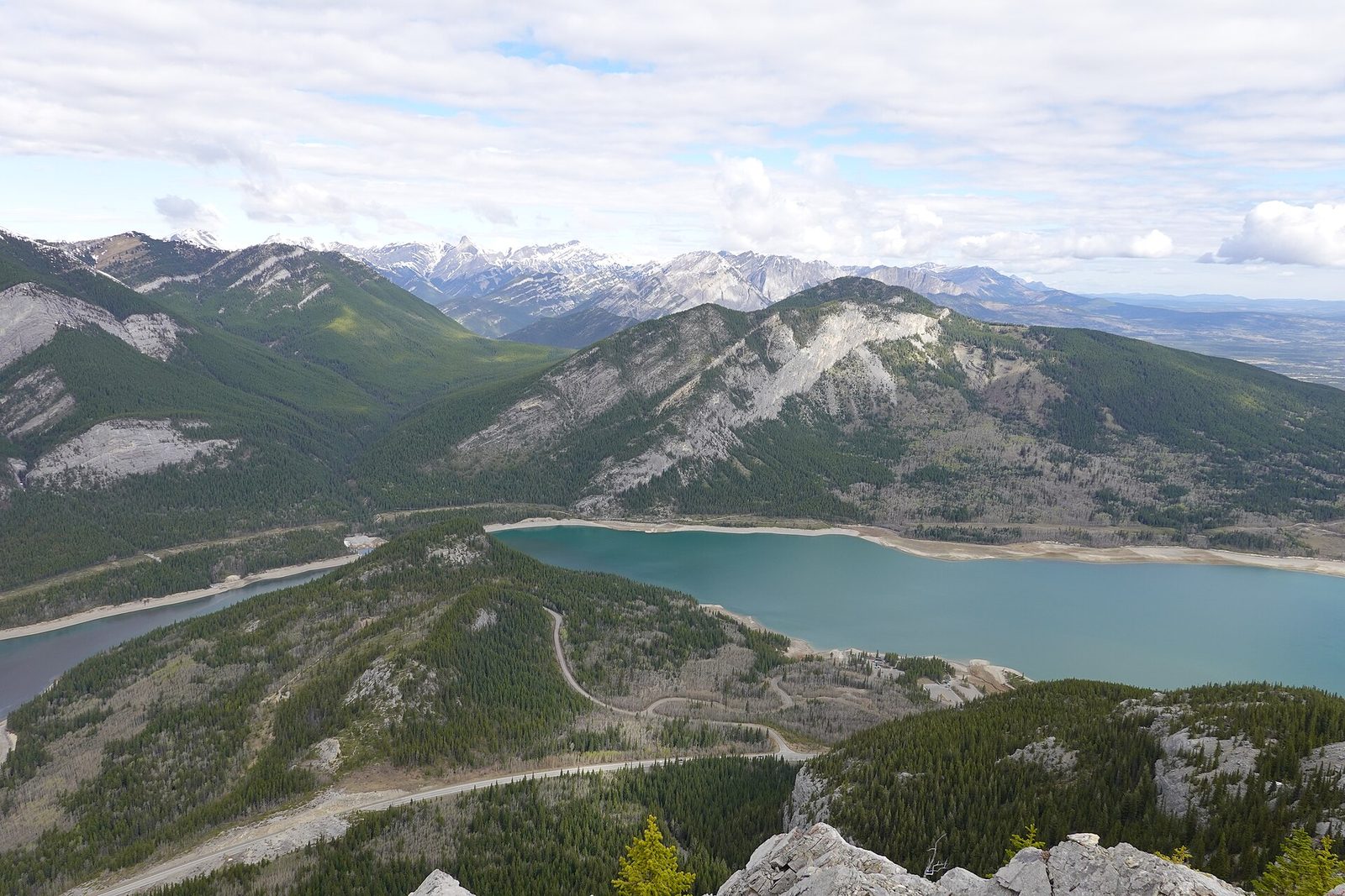
Barrier Lake is a turquoise reservoir on the Kananaskis River, beside Highway 40. Canoes, kayaks and paddleboards go in from hand launches at the Barrier Lake Day Use Area, which also has a beach, picnic sites and drinking water, and at Barrier Dam. From the day-use area a short trail climbs to a lookout over the water.
The water is cold all summer and wind builds quickly, often in the afternoon. Go early, wear a life jacket, and stay near shore when it starts to blow. People swim from the beach on hot days, and anglers fish the lake.
- Allow: two hours to half a day
- Start: Barrier Lake Day Use Area (May to mid-October) or Barrier Dam Day Use Area (all year), both on Highway 40
- When: June to September, in the morning before the wind
- Suits: families and flat-water paddlers who can get back to shore in wind
4. Follow Heart Creek into its canyon
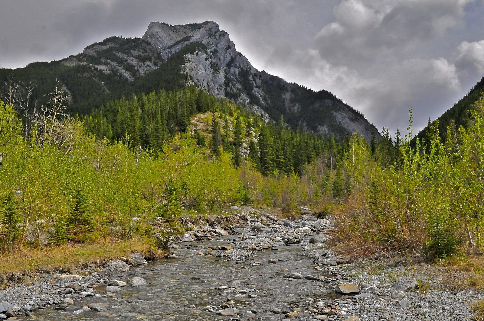
Heart Creek is a short walk with more variety than its length suggests. The trail follows the creek up a canyon that narrows as it goes, crossing the water on seven bridges, and ends where the walls close to a cleft with a waterfall hidden inside it. Alberta Parks rates it intermediate.
The trailhead is beside the Trans-Canada Highway near Lac des Arcs, apart from the main part of the park, which makes it an easy stop on the way to or from Canmore. Bears use the canyon: make noise and keep the group together.
- Distance: 0.8 miles (1.3 km) one way
- Allow: 1 to 1.5 hours out and back
- Start: Heart Creek Day Use Area, off the Trans-Canada Highway
- When: May to October. The trail is open in winter, when the bridges and rock can be icy.
- Suits: families with children who are steady on rough ground
5. Camp beside the Bow River
Camping is what the park is set up for, with about 430 sites in six campgrounds reached by car. Bow Valley Campground is the largest, with 169 sites on the river, showers, a playground and interpretive programs in summer. Willow Rock, close by, has 123 sites. Both are a short ride or drive from the Many Springs, Middle Lake and Bow River trails and from a 2.6-mile (4.2 km) paved trail through the main part of the park. Elk graze the meadows around the campgrounds, and the Bow is a well-known trout river.
Three smaller campgrounds sit beside the highway closer to Canmore. Three Sisters is first come, first served; the others take reservations 90 days ahead, and summer weekends fill early. Bears walk through the campgrounds, so food, coolers and anything scented go in a vehicle or a bear-proof locker.
- Allow: two nights, to fit in a short trail each day and a morning on Barrier Lake
- Start: Bow Valley and Willow Rock campgrounds, off Highway 1X
- When: end of April to mid-October (Willow Rock closes in late September)
- Suits: tents and RVs; families
6. Circle Middle Lake under Mount Yamnuska
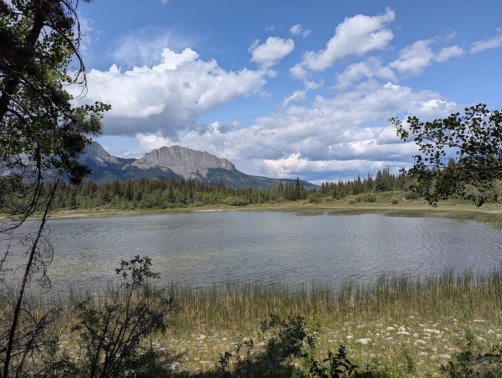
Middle Lake sits in the oldest part of the park, with the grey cliff of Mount Yamnuska filling the view to the north. The interpretive loop goes around the lake through meadow, aspen and spruce, and Alberta Parks publishes a pamphlet for the trail. Ducks and other water birds use the lake through the summer, and the aspens turn in September.
- Distance: a loop of 1.2 miles (2 km), rated easy
- Allow: 30 to 45 minutes
- Start: Middle Lake, in the main part of the park off Highway 1X
- When: May to October; open to walkers in winter
- Suits: anyone. A good first walk on the day you arrive.
7. Watch the whitewater at Canoe Meadows
Below Barrier Dam the Kananaskis River runs as whitewater, and Canoe Meadows is where paddlers train on it. The slalom course there is used for practice and for races, and trails along the bank let you watch kayakers and canoeists work through it. An easy-to-moderate riverside trail connects Canoe Meadows with the Widowmaker put-in upstream.
To run the river yourself you need whitewater skills and a look at the release schedule first: the flow is controlled at the dam and rises or drops quickly.
- Allow: an hour to watch; half a day to paddle
- Start: Canoe Meadows Day Use Area, off Highway 40 (open all year)
- When: mid-April to mid-October, the season of the paddlers’ campground beside the course
- Suits: spectators of any age; paddlers with whitewater experience
8. Fish or walk at the Mount Lorette Ponds
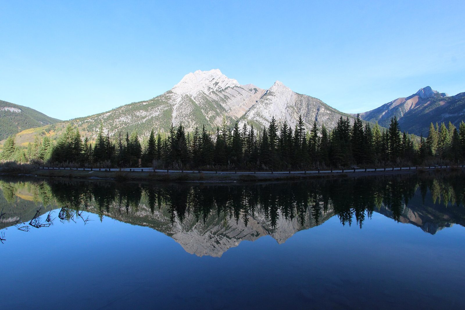
These clear ponds beside Highway 40 are set up for visitors who use wheels. A paved loop circles the water, and the fishing platforms, picnic sites and toilet are wheelchair accessible. The ponds are stocked with trout through spring and summer, and on a still day Mount Lorette is reflected in them. Alberta’s sportfishing licence rules apply.
- Distance: a paved loop of about 0.6 miles (1 km)
- Allow: 30 minutes to walk; as long as you like to fish
- Start: Mount Lorette Ponds Day Use Area, Highway 40
- When: May to October. The paths are not cleared of snow in winter.
- Suits: wheelchair users, strollers, children learning to fish
9. Spend a night at Jewell Bay
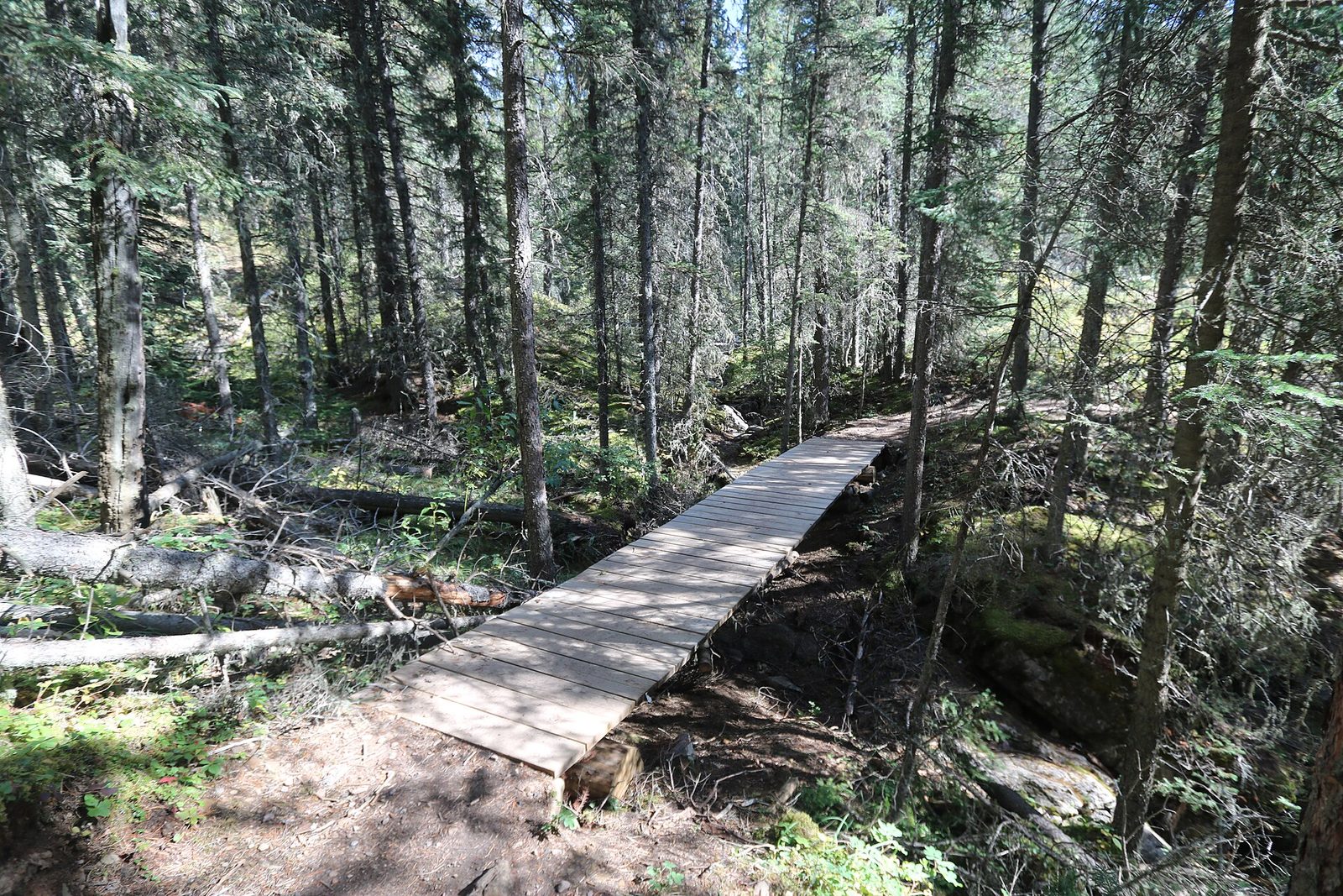
Jewell Bay is the park’s one backcountry campground: 12 sites on the northwest shore of Barrier Lake, an easy walk along the Stoney Trail from Barrier Dam. That makes it a sound choice for a first night out with a pack, or for children. You can also paddle in, or arrive the long way from Heart Creek over Jewell Pass, 5.8 miles (9.4 km) with about 1,100 feet (340 m) of climbing. The campground has tent pads, food lockers, pit toilets and hitching rails for riders. Water comes from the lake and needs treating.
- Distance: 2.4 miles (3.9 km) one way from Barrier Dam
- Allow: 1 to 1.5 hours each way with a pack
- Start: Barrier Dam Day Use Area, Highway 40
- When: mid-June to mid-October for most people. The campground closes every year from April 15 to June 15 while elk move through.
- Needs: a backcountry permit, reserved up to 90 days ahead
- Suits: first-time backpackers, families, riders and paddlers
10. Stop at Lac des Arcs and Gap Lake
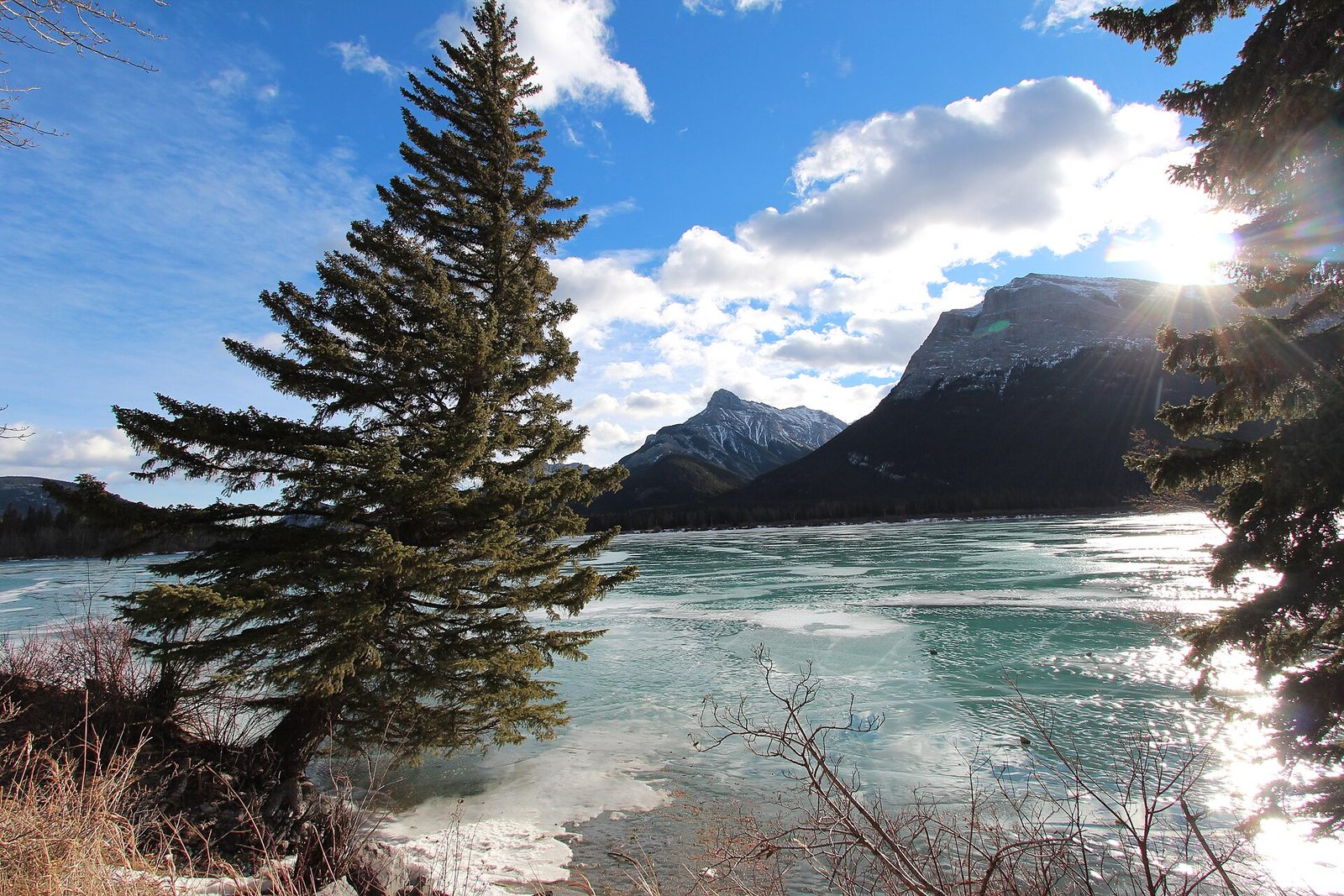
Two roadside lakes west of the main park are worth a stop in any season. Lac des Arcs is a wide, shallow stretch of the Bow beside the Trans-Canada Highway, where steady wind through the gap in the mountains brings out windsurfers in summer. Gap Lake, on Highway 1A, is smaller and more sheltered, with a picnic area and a hand launch under cliffs and forested slopes. People paddle and fish both.
In winter, when the ice is thick enough, both lakes are used for skating, and Gap Lake for ice fishing. The ice is not checked or cleared, and it varies through the season, so measure it yourself before going out.
- Allow: an hour or two
- Start: Lac des Arcs Campground, Trans-Canada Highway; Gap Lake Day Use Area, Highway 1A
- When: summer for wind and paddling; mid-winter for skating when the ice allows
- Suits: a short stop on the drive between Calgary and Canmore
Before you go
This list covers what stays the same from year to year. Trail closures, bear warnings, fire bans and campground dates change, and Alberta Parks posts them on its own site. The link is on our Bow Valley Provincial Park guide, with the map, permits and how to get there.