

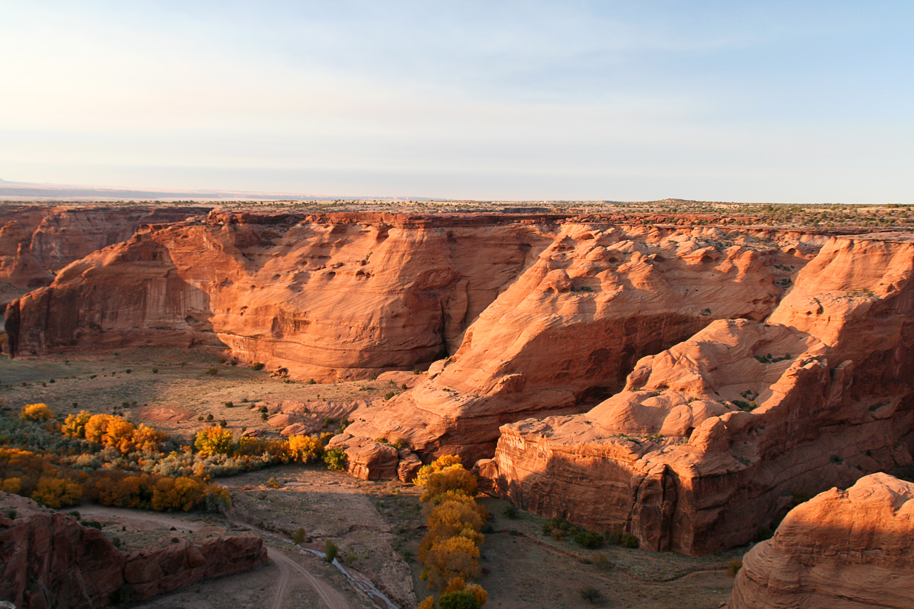
Canyon de Chelly National Monument
Canyon de Chelly is a system of red sandstone canyons on the Navajo Nation where Diné families still live, farm and raise livestock among ancestral Puebloan cliff dwellings. Rim drives reach overlooks above sheer walls, one trail descends to the White House ruin, and guided trips go deeper into the canyons.
Fast facts
- Established: 1931
- Size: about 83,800 acres (339 km²), all Navajo Nation land
- History: people have lived here for nearly 5,000 years
- Signature features: Spider Rock, a sandstone spire about 800 feet (240 m) tall, and White House Ruin
- Gateway: Chinle, Arizona
- Managed by: the National Park Service with the Navajo Nation
The landscape
Canyon de Chelly and Canyon del Muerto cut up to about 1,000 feet (300 m) into red sandstone. On the canyon floors, streams water cottonwoods, orchards and fields, and Diné homes sit below cliff dwellings built by earlier peoples. The rims are open pinyon and juniper at about 5,500 feet (1,680 m).
Best time to go
Spring and fall are best. Summer highs are 85-100°F (29-38°C), with thunderstorms and flash floods; spring is windy and dusty. Winter is cold, with some snow.
Getting there and around
The visitor center is in Chinle, reached from US 191. The North Rim Drive and South Rim Drive run along the canyons to overlooks, all paved.
Things to do
Drive the rims: the South Rim Drive ends at Spider Rock Overlook, and the North Rim Drive passes Antelope House and Mummy Cave overlooks. The White House Trail, 2.5 miles (4 km) round trip, switchbacks about 600 feet (180 m) down the canyon wall to White House Ruin.
Every other trip into the canyons goes with an authorized Navajo guide: hiking, horseback and four-wheel-drive tours reach cliff dwellings, rock art and farms deep in the canyons, and some guides lead overnight trips.
Staying safe
The canyon floor floods quickly in storms, and quicksand forms in the wash. The White House Trail is steep, and the climb out is hot in summer. Respect the privacy of residents: do not enter homes or fields, and ask before photographing people.
Know before you go
There is no entrance fee. The White House Trail is the only route open without a guide; all other canyon travel requires an authorized Navajo guide. The Navajo Nation observes daylight saving time, unlike the rest of Arizona. This page is a general overview, not a live conditions report, so confirm trail status with the National Park Service before you go.
- Coordinates
- 36.1434, -109.3398
- Magnetic declination
- 9.1° E (2026)
Set this declination on your compass, then align it to the map's north lines; it is the angle between true north and magnetic north, refreshed each year.
How declination works, and how to navigate with a map and compass
A spread of the park’s main places shows straight away, and the rest appear as you zoom in. You can also search above, or pick any place from the lists below, and the map will go to it. Places in bold, marked , have a short description.
Getting there 1
Visitor centre
On the trail 2
Trailhead
Campground
Sights 33
Viewpoints
Lakes
Heritage sites
Peaks
Map data comes from third-party sources and may be incomplete or out of date, so carry a current official map (terms).
Looking for one of these closer to home?Destinations near me by trip type →
- Best seasons
- Spring, Fall
- Difficulty
- Easy to moderate (guided trips vary)
- Access / trailheads
- Visitor center in Chinle off US 191; paved North and South Rim drives.
- Water
- At the visitor center.
- Cell / satellite coverage
- Fair in Chinle; little in the canyons.
- Nearest ranger / SAR / emergency
- Emergencies: 911. Visitor center: 928-674-5500.
- Permits & regulations
- No entrance fee. Authorized Navajo guide required for all canyon travel except the White House Trail.
- Leave No Trace
- Stay on the trail and with your guide, respect private homes and fields, and leave artifacts in place.
January
- Below-freezing nights
February
- Below-freezing nights
March
- Below-freezing nights
- Day-to-night swing of 32°F (18°C)Day-to-night swing of 18°C (32°F)
April
- Day-to-night swing of 33°F (18°C)Day-to-night swing of 18°C (33°F)
May
- Day-to-night swing of 35°F (19°C)Day-to-night swing of 19°C (35°F)
June
- Hot days
- Day-to-night swing of 37°F (21°C)Day-to-night swing of 21°C (37°F)
July
- Hot days
- Day-to-night swing of 33°F (18°C)Day-to-night swing of 18°C (33°F)
August
- Hot days
- Day-to-night swing of 31°F (17°C)Day-to-night swing of 17°C (31°F)
September
- Day-to-night swing of 33°F (18°C)Day-to-night swing of 18°C (33°F)
October This month
- Day-to-night swing of 32°F (18°C)Day-to-night swing of 18°C (32°F)
November
- Below-freezing nights
December
- Below-freezing nights
What to bring depends on your trip: how long you’re out, where you sleep, and how far you go from the road. The planner builds the list for yours.
Plan a trip here →Averages for 1991–2020 from NOAA U.S. Climate Normals, measured at the Canyon De Chelly station, 11 miles (18 km)18 km (11 miles) away at 5,610 feet (1,710 m)1,710 m (5,610 feet). Higher trails run colder, by about 3.5°F for every 1,000 ft (2°C per 300 m)2°C for every 300 m (3.5°F per 1,000 ft) of climb. Daylight runs from sunrise to sunset on the 15th, on the park’s own clock, for a level horizon. Valleys and slopes facing away from the sun are in shade earlier.
Nearby parks
-
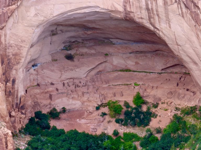 Navajo National Monument
The cliff villages of Betatakin and Keet Seel in Tsegi Canyon, with an easy overlook trail and a 17-mile (27 km) permit hike.
-
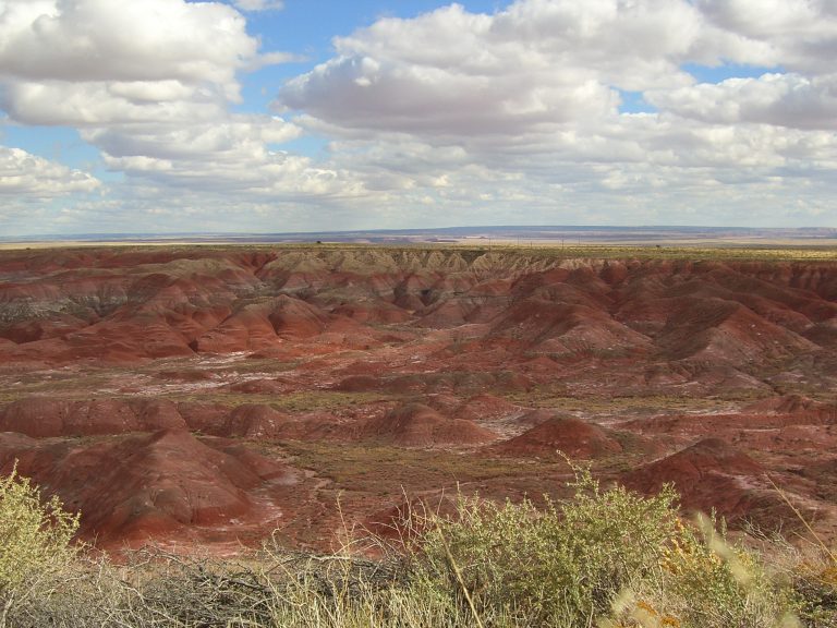 Petrified Forest National Park
Fossil logs more than 200 million years old, the pastel badlands of the Painted Desert and Route 66 history in northeastern Arizona.
-
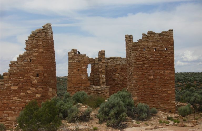 Hovenweep National Monument
Stone towers on canyon rims along the Colorado-Utah border, with a loop around the Square Tower Group and a slot-canyon trail.
-
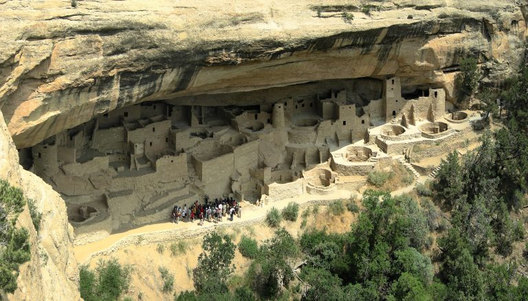 Mesa Verde National Park
Ancestral Puebloan cliff dwellings built into the canyon walls of southwestern Colorado, including Cliff Palace.
Straight-line distance between park centres. Road distance is usually longer.
Looking for somewhere closer to home?
See every park and monument within a day’s drive of where you are.