

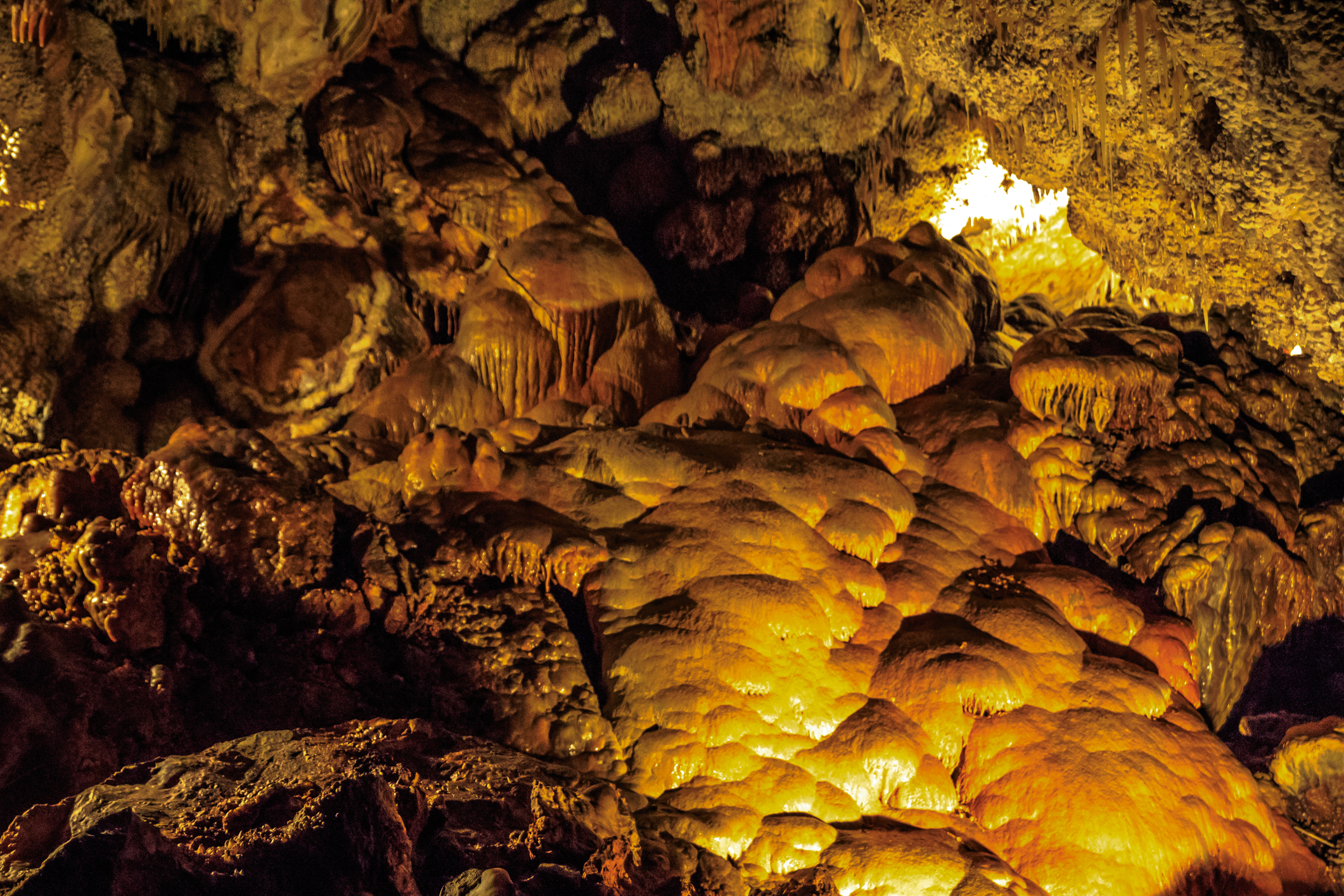
Jewel Cave National Monument
Jewel Cave in the Black Hills of South Dakota is one of the longest caves in the world, with more than 220 miles (354 km) of mapped passages and walls crusted with sparkling calcite crystals. It is seen only on ranger-led tours, from an easy walk to a crawl through tight passages.
Fast facts
- Established: 1908
- Size: about 1,270 acres (5.1 km²) at the surface
- Cave: more than 220 miles (354 km) of mapped passages, and still being explored
- Tours: ranger-led only
- Gateways: Custer, 13 miles (21 km) east, and Newcastle, Wyoming
- Managed by: the National Park Service
The landscape
The cave formed in limestone beneath the ponderosa pine forest of the southern Black Hills. Its passages are lined with calcite spar crystals, the jewels of its name, along with flowstone and hydromagnesite balloons. The surface forest burned in the Jasper Fire of 2000 and is regrowing, with wildflowers and wildlife along the trails. The cave stays near 49°F (9°C).
Best time to go
Summer offers the most tours. The cave is the same temperature all year, and some tours run in winter. Spring and fall are quiet on the surface trails.
Getting there and around
The visitor center is on US 16, 13 miles (21 km) west of Custer and 24 miles (39 km) east of Newcastle, Wyoming, and about 54 miles (87 km) from Rapid City.
Things to do
The Scenic Tour takes an elevator into the cave and follows paved paths with about 700 stairs through large, decorated rooms. The Historic Lantern Tour follows the original entrance by lantern light. On the surface, the short Roof Trail and the Canyons Trail loop through the forest.
The Wild Caving Tour is for fit visitors who want to crawl and squeeze through undeveloped passages with a helmet and headlamp; it has size and fitness requirements.
Staying safe
Cave tours involve many stairs and, on the wild tour, tight crawls. Dress in layers for the cool cave. Do not touch formations. On the surface, watch for lightning in summer storms.
Know before you go
There is no entrance fee, but cave tours need tickets, and popular tours sell out in summer; some can be reserved on Recreation.gov. The wild caving tour has minimum age and size rules. This page is a general overview, not a live conditions report, so confirm the tour schedule with the National Park Service before you go.
- Coordinates
- 43.7307, -103.8322
- Magnetic declination
- 7.2° E (2026)
Set this declination on your compass, then align it to the map's north lines; it is the angle between true north and magnetic north, refreshed each year.
How declination works, and how to navigate with a map and compass
A spread of the park’s main places shows straight away, and the rest appear as you zoom in. You can also search above, or pick any place from the lists below, and the map will go to it. Places in bold, marked , have a short description.
Getting there 3
Park entrances
Visitor centre
On the trail 1
Route
Sights 1
Point of interest
Map data comes from third-party sources and may be incomplete or out of date, so carry a current official map (terms).
Looking for one of these closer to home?Destinations near me by trip type →
- Best seasons
- Summer (most tours), Year-round (cave)
- Difficulty
- Easy to strenuous (depending on tour)
- Access / trailheads
- US 16, 13 miles (21 km) west of Custer, South Dakota.
- Water
- At the visitor center.
- Cell / satellite coverage
- Fair at the visitor center.
- Nearest ranger / SAR / emergency
- Emergencies: 911. Visitor center: 605-673-8300.
- Permits & regulations
- No entrance fee. Cave tour tickets required; some reservable on Recreation.gov.
- Leave No Trace
- Never touch cave formations, stay on trails, and pack out all waste.
January
- Below-freezing nights
February
- Below-freezing nights
March
- Below-freezing nights
April
- Below-freezing nights
May
June
July
August
September
October This month
November
- Below-freezing nights
December
- Below-freezing nights
What to bring depends on your trip: how long you’re out, where you sleep, and how far you go from the road. The planner builds the list for yours.
Plan a trip here →Averages for 1991–2020 from NOAA U.S. Climate Normals, measured at the Custer station, 11 miles (18 km)18 km (11 miles) away at 5,480 feet (1,670 m)1,670 m (5,480 feet). Higher trails run colder, by about 3.5°F for every 1,000 ft (2°C per 300 m)2°C for every 300 m (3.5°F per 1,000 ft) of climb. Daylight runs from sunrise to sunset on the 15th, on the park’s own clock, for a level horizon. Valleys and slopes facing away from the sun are in shade earlier.
Nearby parks
-
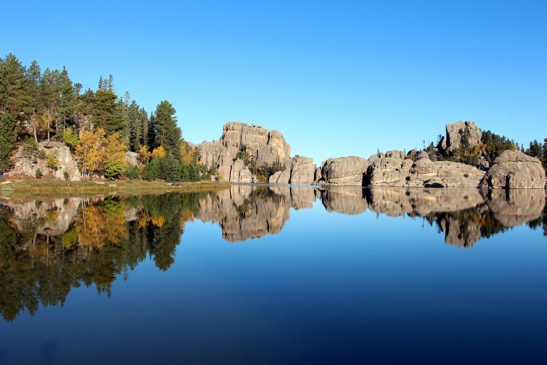 Custer State Park
Bison herds, granite spires and the Needles Highway in the Black Hills, with trails to Black Elk Peak.
-
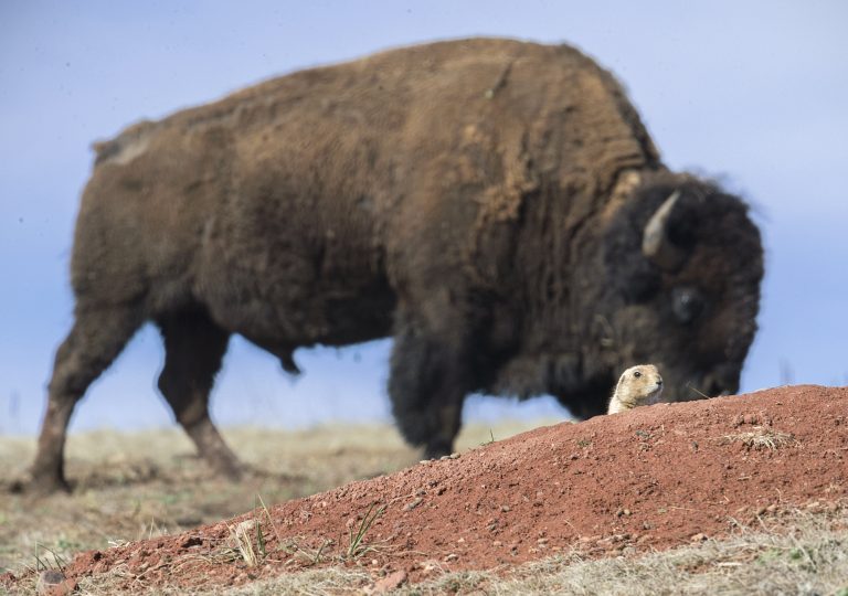 Wind Cave National Park
One of the world's longest caves, famous for its boxwork, beneath prairie and pine in the Black Hills, with bison and prairie dogs above.
-
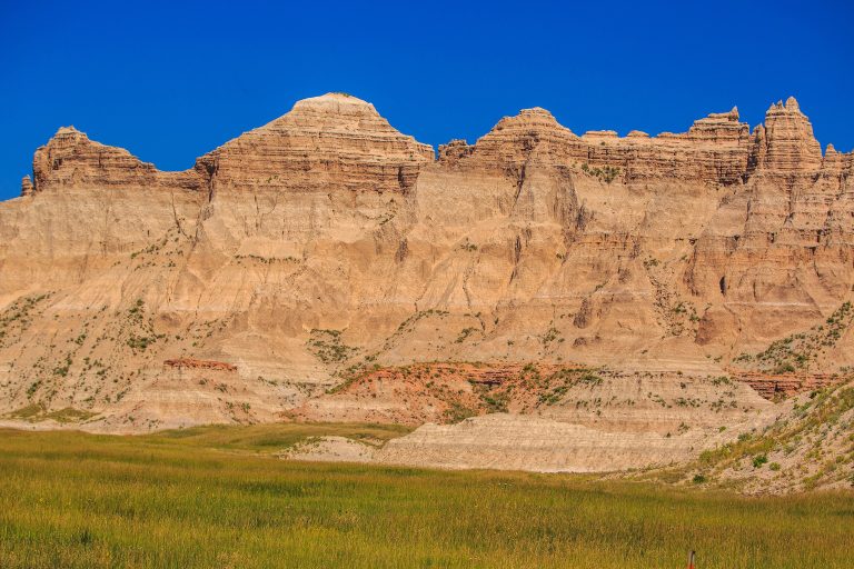 Badlands National Park
Eroded buttes, pinnacles and mixed-grass prairie in South Dakota, with bison, bighorn sheep and open backcountry.
-
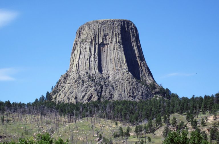 Devils Tower National Monument
The first national monument: an 867-foot (264 m) column of volcanic rock in Wyoming, with a paved loop around its base and world-class crack climbing.
Straight-line distance between park centres. Road distance is usually longer.
Looking for somewhere closer to home?
See every park and monument within a day’s drive of where you are.