

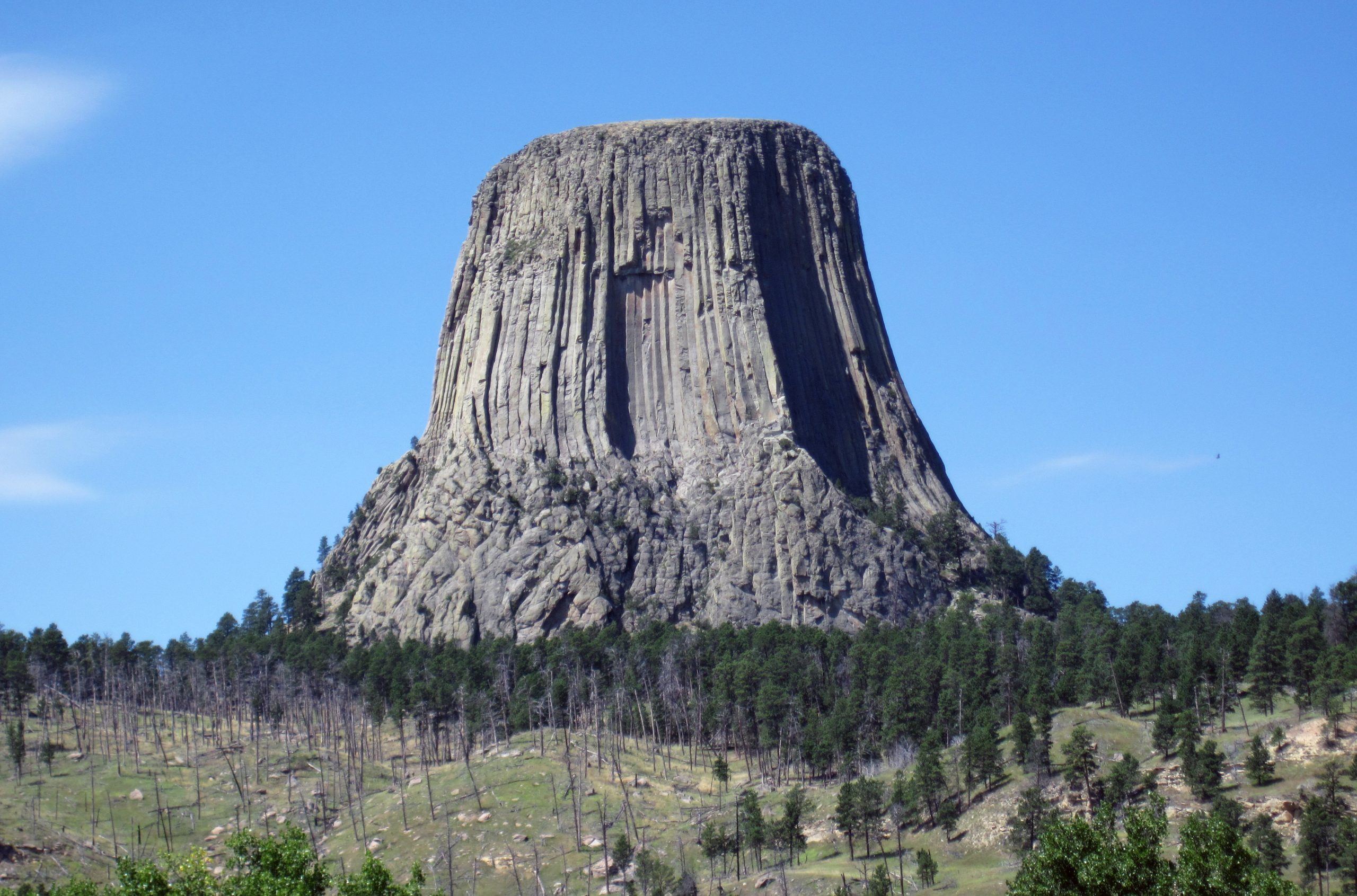
Devils Tower National Monument
Devils Tower rises 867 feet (264 m) from its base above the Belle Fourche River in northeastern Wyoming, a column of volcanic rock sacred to many Plains tribes, who know it as Bear Lodge. A paved loop circles its base, and climbers scale its cracks to the flat summit.
Fast facts
- Established: 1906, the first national monument in the United States
- Size: about 1,347 acres (545 ha)
- Height: 867 feet (264 m) from base to summit, and 1,267 feet (386 m) above the river
- Climbing: one of the best-known crack climbing areas in North America
- Gateways: Hulett, Moorcroft and Sundance, Wyoming
- Managed by: the National Park Service
The landscape
The Tower is a mass of igneous rock that cooled underground and cracked into tall columns, then was exposed as softer rock eroded around it. Boulders from fallen columns ring its base. Around it, ponderosa pine forest, prairie and the red sandstone of the Belle Fourche valley support white-tailed deer, a prairie dog town and many birds.
Best time to go
Late spring to early fall. Summer is busiest and can be hot, with afternoon thunderstorms. Early August brings heavy traffic during the Sturgis motorcycle rally in nearby South Dakota. Winter is quiet, with snow and wind.
Getting there and around
The entrance is on WY 24, reached from US 14 or I-90. It is 33 miles (53 km) northeast of Moorcroft and 27 miles (43 km) northwest of Sundance, and about 9 miles (14 km) from Hulett. A road climbs to the visitor center near the base of the Tower.
Things to do
The paved Tower Trail, 1.3 miles (2.1 km), circles the base through boulders and pines. The Red Beds Trail, 2.8 miles (4.5 km), makes a longer loop with views of the Tower from the river valley, and the Joyner Ridge Trail, 1.5 miles (2.4 km), is quieter and good for sunset and stargazing. Stop at the prairie dog town near the entrance.
Experienced climbers come for crack climbing, which means climbing by wedging hands and feet into the long cracks between the columns. There are hundreds of routes, and every climber registers with rangers before starting. It is serious, technical climbing; beginners go with a licensed guide.
Staying safe
Stay on the trails around the base: falling rock and loose boulders make scrambling dangerous. Thunderstorms build quickly in summer with lightning, hail and heavy rain, and the rock can be very hot. Rattlesnakes live in the boulders. Keep away from prairie dogs, which can carry plague.
Know before you go
An entrance fee applies (America the Beautiful pass accepted). Climbers must register, and the park asks climbers to stay off the Tower during June out of respect for tribal ceremonies. Belle Fourche River Campground is open mid-May to mid-October. This page is a general overview, not a live conditions report, so confirm conditions with the National Park Service before you go.
- Coordinates
- 44.5900, -104.7151
- Magnetic declination
- 7.8° E (2026)
Set this declination on your compass, then align it to the map's north lines; it is the angle between true north and magnetic north, refreshed each year.
How declination works, and how to navigate with a map and compass
A spread of the park’s main places shows straight away, and the rest appear as you zoom in. You can also search above, or pick any place from the lists below, and the map will go to it. Places in bold, marked , have a short description.
Getting there 2
Park entrance
Visitor centre
On the trail 4
Routes
Campground
Sights 2
Point of interest
Peak
Map data comes from third-party sources and may be incomplete or out of date, so carry a current official map (terms).
Looking for one of these closer to home?Destinations near me by trip type →
- Best seasons
- Late spring, Summer, Early fall
- Difficulty
- Easy (technical climbing on the Tower)
- Access / trailheads
- WY 24 from US 14 or I-90; 33 miles (53 km) from Moorcroft, 27 miles (43 km) from Sundance.
- Water
- At the visitor center and campground in season.
- Cell / satellite coverage
- Fair near the visitor center; patchy in the river valley.
- Nearest ranger / SAR / emergency
- Emergencies: 911. Devils Tower: 307-467-5283.
- Permits & regulations
- Entrance fee (America the Beautiful pass accepted). Climbers register with rangers; voluntary June climbing closure.
- Leave No Trace
- Stay on trails, leave prayer cloths and bundles tied to trees undisturbed, do not feed prairie dogs, and pack out all waste.
January
- Below-freezing nights
February
- Below-freezing nights
March
- Below-freezing nights
April
- Below-freezing nights
May
June
July
- Day-to-night swing of 30°F (17°C)Day-to-night swing of 17°C (30°F)
August
- Day-to-night swing of 33°F (18°C)Day-to-night swing of 18°C (33°F)
September
- Day-to-night swing of 33°F (18°C)Day-to-night swing of 18°C (33°F)
October This month
- Below-freezing nights
- Day-to-night swing of 30°F (17°C)Day-to-night swing of 17°C (30°F)
November
- Below-freezing nights
December
- Below-freezing nights
What to bring depends on your trip: how long you’re out, where you sleep, and how far you go from the road. The planner builds the list for yours.
Plan a trip here →Averages for 1991–2020 from NOAA U.S. Climate Normals, measured at the Devils Twr #2 station at 3,862 feet (1,177 m)1,177 m (3,862 feet). Higher trails run colder, by about 3.5°F for every 1,000 ft (2°C per 300 m)2°C for every 300 m (3.5°F per 1,000 ft) of climb. Daylight runs from sunrise to sunset on the 15th, on the park’s own clock, for a level horizon. Valleys and slopes facing away from the sun are in shade earlier.
Nearby parks
-
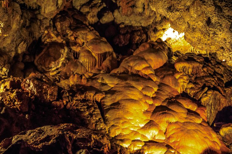 Jewel Cave National Monument
One of the world’s longest caves, crusted with calcite crystals, beneath the Black Hills of South Dakota.
-
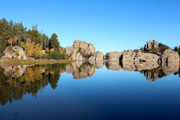 Custer State Park
Bison herds, granite spires and the Needles Highway in the Black Hills, with trails to Black Elk Peak.
-
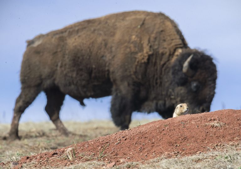 Wind Cave National Park
One of the world's longest caves, famous for its boxwork, beneath prairie and pine in the Black Hills, with bison and prairie dogs above.
-
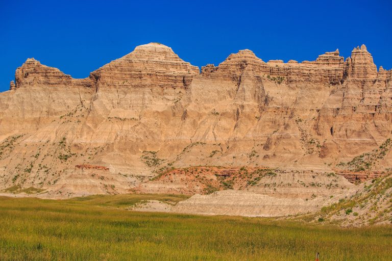 Badlands National Park
Eroded buttes, pinnacles and mixed-grass prairie in South Dakota, with bison, bighorn sheep and open backcountry.
Straight-line distance between park centres. Road distance is usually longer.
Looking for somewhere closer to home?
See every park and monument within a day’s drive of where you are.