

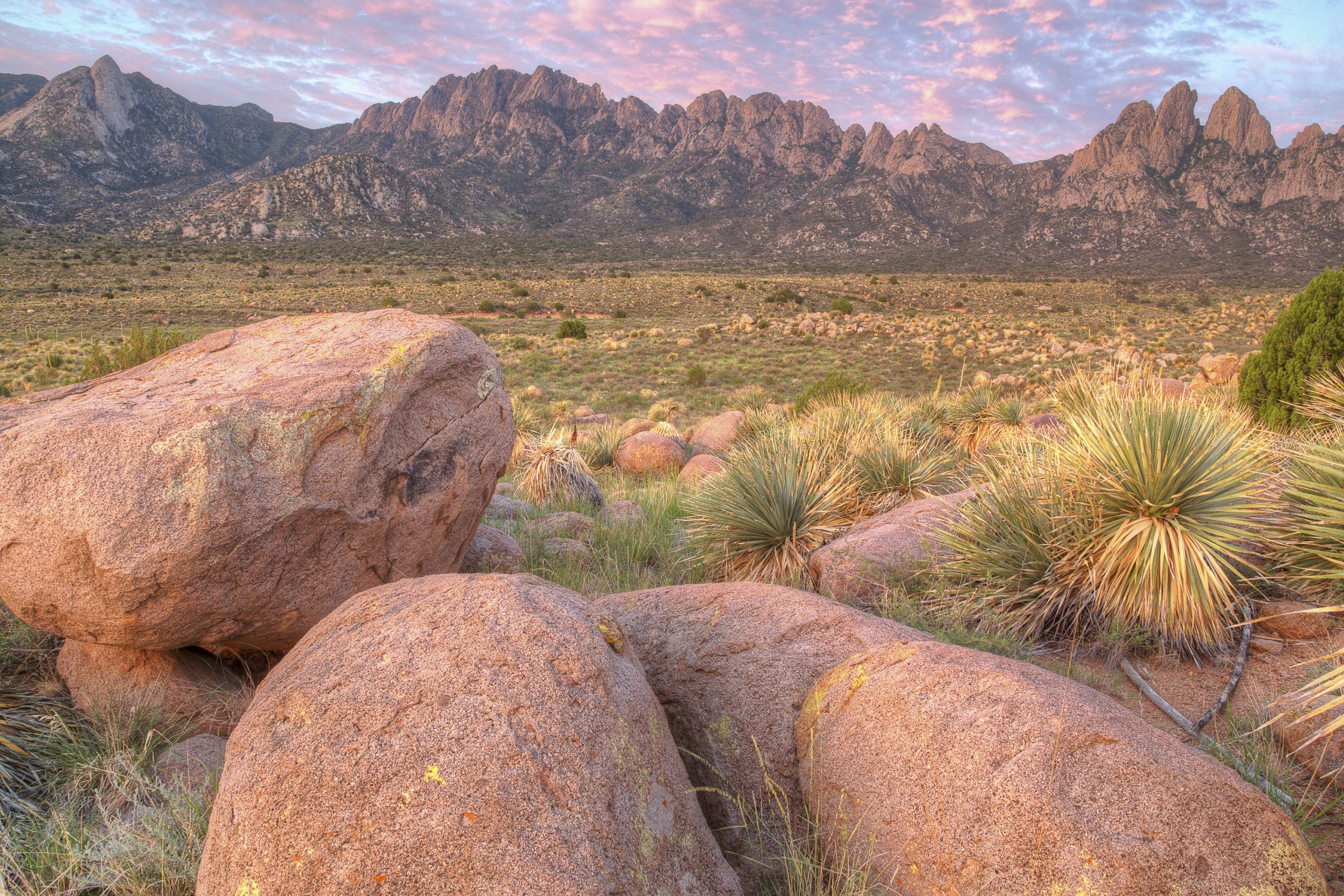
Organ Mountains-Desert Peaks National Monument
The Organ Mountains rise in jagged granite spires straight out of the desert east of Las Cruces, New Mexico, the centrepiece of a monument that also takes in three other desert ranges. Short trails lead to springs and old ruins at the foot of the spires, and serious hikers cross the range or scramble to its highest peak.
Fast facts
- Established: 2014
- Size: about 496,000 acres (2,010 km²) in four areas
- Four areas: the Organ Mountains, Desert Peaks, Potrillo Mountains and Doña Ana Mountains
- Highest point: Organ Needle, about 9,000 feet (2,740 m)
- Gateway: Las Cruces, New Mexico
- Managed by: the Bureau of Land Management
The landscape
The Organ Mountains are a narrow granite range of needle-like peaks, with oak and pine in the higher canyons and Chihuahuan Desert grassland and cactus below. The Desert Peaks to the west are volcanic ranges with rock art, and the Potrillo Mountains to the southwest are a field of cinder cones and craters. Springs and seasonal waterfalls fill the canyons after rain.
Best time to go
Fall, winter and spring are best. Summer is hot in the lowlands, and the July-to-September monsoon brings lightning and flash floods. Winter days are mild, with occasional snow on the peaks.
Getting there and around
The Dripping Springs Natural Area is at the end of Dripping Springs Road, about 10 miles (16 km) east of Las Cruces, with a visitor center. Aguirre Spring Campground is on the east side of the range, reached from US 70. The western ranges are reached by dirt roads, some needing high clearance.
Things to do
The Dripping Springs Trail, about 3 miles (5 km) round trip, leads to the ruins of a 19th-century mountain resort and a spring below the cliffs. At Aguirre Spring, the Pine Tree Trail is a loop of about 4 miles (6.4 km) beneath the spires, and short paths wind among the boulders.
The Baylor Pass Trail crosses the range, about 6 miles (9.7 km) one way. Experienced scramblers climb Organ Needle, a long, steep route with rock scrambling and route-finding near the top. Farther west, the Desert Peaks and Potrillo Mountains offer remote desert hiking with no trails and no water.
Staying safe
Heat and dehydration are serious in summer and on exposed desert routes; carry plenty of water. Steep, loose rock and cliffs make off-trail travel in the Organs dangerous, and several people have needed rescue after straying from trails. Lightning is a hazard on ridges during the monsoon, and flash floods run down the canyons.
Know before you go
Day-use fees apply at Dripping Springs and Aguirre Spring. Dripping Springs Natural Area has set hours and a gate. This page is a general overview, not a live conditions report, so confirm hours and conditions with the Bureau of Land Management before you go.
- Coordinates
- 32.2491, -106.9145
- Magnetic declination
- 7.6° E (2026)
Set this declination on your compass, then align it to the map's north lines; it is the angle between true north and magnetic north, refreshed each year.
How declination works, and how to navigate with a map and compass
A spread of the park’s main places shows straight away, and the rest appear as you zoom in. You can also search above, or pick any place from the lists below, and the map will go to it. Places in bold, marked , have a short description.
Getting there 1
Visitor centre
On the trail 6
Route
Campgrounds
Sights 48
Viewpoints
Waterfall
Lakes
Heritage sites
Points of interest
Peaks 30
Map data comes from third-party sources and may be incomplete or out of date, so carry a current official map (terms).
Looking for one of these closer to home?Destinations near me by trip type →
- Best seasons
- Fall, Winter, Spring
- Difficulty
- Easy to strenuous
- Access / trailheads
- Dripping Springs Road, 10 miles (16 km) east of Las Cruces; Aguirre Spring off US 70 on the east side. Western areas by dirt roads.
- Water
- At the Dripping Springs visitor center. Springs in the canyons are unreliable; carry all water.
- Cell / satellite coverage
- Good near Las Cruces and on the western slopes; patchy in the canyons and on the east side.
- Nearest ranger / SAR / emergency
- Emergencies: 911. BLM Las Cruces District Office: 575-525-4300.
- Permits & regulations
- Day-use fees at Dripping Springs Natural Area and Aguirre Spring; set hours at both.
- Leave No Trace
- Stay on trails in the Organs, leave rock art and ruins untouched, pack out all waste, and camp only where allowed.
January
- Below-freezing nights
February
- Day-to-night swing of 30°F (17°C)Day-to-night swing of 17°C (30°F)
March
- Day-to-night swing of 32°F (18°C)Day-to-night swing of 18°C (32°F)
April
- Day-to-night swing of 33°F (18°C)Day-to-night swing of 18°C (33°F)
May
- Day-to-night swing of 33°F (18°C)Day-to-night swing of 18°C (33°F)
June
- Hot days
- Day-to-night swing of 32°F (18°C)Day-to-night swing of 18°C (32°F)
July
- Hot days
August
- Hot days
September
October This month
- Day-to-night swing of 32°F (18°C)Day-to-night swing of 18°C (32°F)
November
- Day-to-night swing of 31°F (17°C)Day-to-night swing of 17°C (31°F)
December
- Below-freezing nights
What to bring depends on your trip: how long you’re out, where you sleep, and how far you go from the road. The planner builds the list for yours.
Plan a trip here →Averages for 1991–2020 from NOAA U.S. Climate Normals, measured at the State Univ station, 14 miles (22 km)22 km (14 miles) away at 3,886 feet (1,184 m)1,184 m (3,886 feet). Higher trails run colder, by about 3.5°F for every 1,000 ft (2°C per 300 m)2°C for every 300 m (3.5°F per 1,000 ft) of climb. Daylight runs from sunrise to sunset on the 15th, on the park’s own clock, for a level horizon. Valleys and slopes facing away from the sun are in shade earlier.
Nearby parks
-
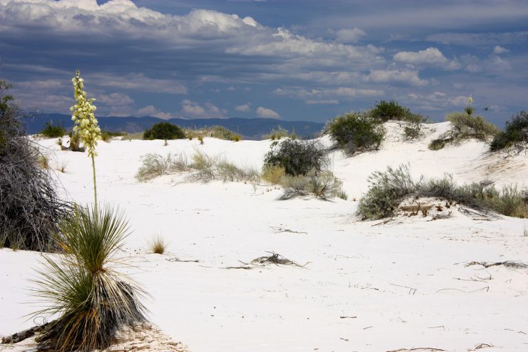 White Sands National Park
The world's largest gypsum dune field, gleaming white across New Mexico's Tularosa Basin, with dune sledding.
-
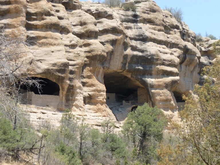 Gila Cliff Dwellings National Monument
Mogollon cliff dwellings in five caves, on the edge of the Gila Wilderness and its hot-spring river routes.
-
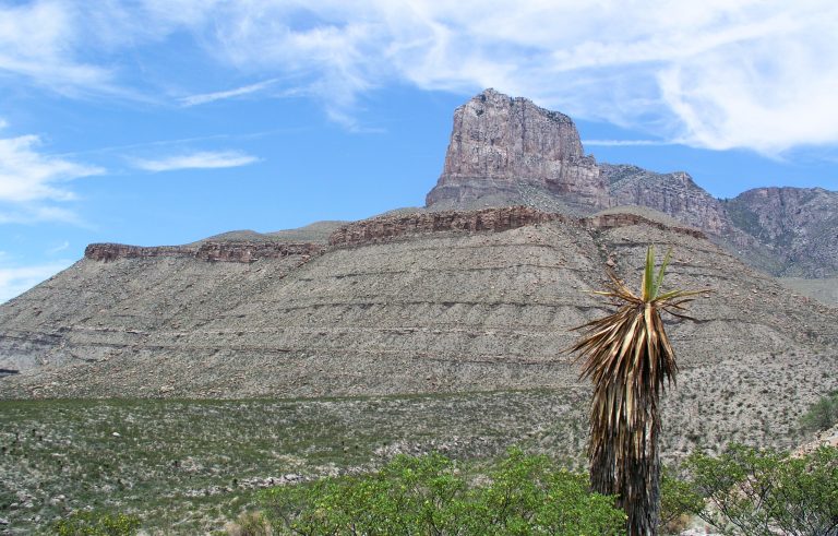 Guadalupe Mountains National Park
Guadalupe Peak, the top of Texas at 8,751 feet (2,667 m), rising from the Chihuahuan Desert, with fall color in McKittrick Canyon.
-
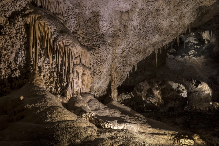 Carlsbad Caverns National Park
Vast caverns under New Mexico's Chihuahuan Desert, with the Big Room, summer bat flights and backcountry above.
Straight-line distance between park centres. Road distance is usually longer.
Looking for somewhere closer to home?
See every park and monument within a day’s drive of where you are.