

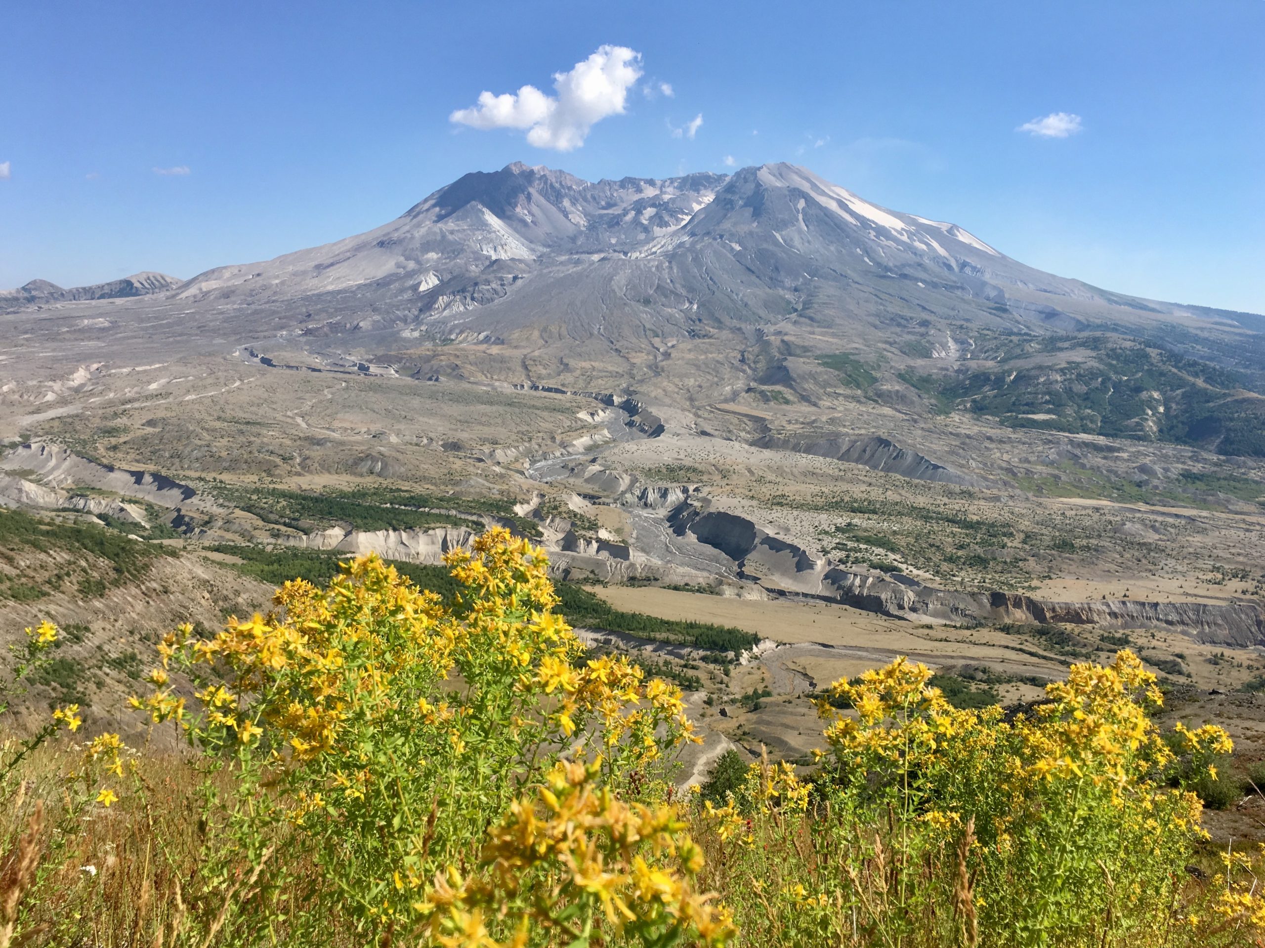
Mount St. Helens National Volcanic Monument
Mount St. Helens blew its top on May 18, 1980, and the monument around it shows a landscape still recovering from the blast. Families walk through lava tubes and old lava casts on the south side, and hikers can climb to the crater rim or walk the Loowit Trail all the way around the volcano.
Fast facts
- Established: 1982, two years after the eruption
- Size: about 110,000 acres (445 km²)
- Summit: 8,363 feet (2,549 m), about 1,300 feet (400 m) lower than before 1980
- Signature features: the crater and lava dome, Spirit Lake, the blast zone and Ape Cave
- Gateways: Castle Rock, Cougar and Randle
- Managed by: the Forest Service (Gifford Pinchot National Forest)
The landscape
The 1980 eruption removed the volcano’s north face and flattened forest across 230 square miles (600 km²). The north side is now a landscape of pumice plains, new lakes and regrowing forest, with the crater open to the north. The south side, spared by the blast, is older lava and forest, with lava tubes and tree casts from much older eruptions.
Best time to go
July to September is the main season, when snow has cleared from most trails and upper roads. The summer climbing route opens as snow melts, usually by late June. Winter brings snowshoeing and ski climbs on the south side, and the upper roads close.
Getting there and around
The north side is reached on SR 504 from Castle Rock (I-5 exit 49). The south side is reached from Woodland (I-5 exit 21) through Cougar on SR 503 and Forest Road 83. The east side is reached from Randle on Forest Roads 25 and 99 to Windy Ridge; these roads are closed by snow in winter. The three sides are not connected across the mountain by road.
Things to do
On the south side, walk the Trail of Two Forests past casts of trees buried by ancient lava, explore Ape Cave, a lava tube of about 2.5 miles (4 km) in total (the lower section is easier), and hike to June Lake or the upper, easier section of Lava Canyon. Viewpoints on the east and north sides look into the crater and across the blast zone.
The summit climb up Monitor Ridge is about 10 miles (16 km) round trip with about 4,500 feet (1,370 m) of climbing over boulders and loose ash, a long day but not technical in summer. The Loowit Trail circles the mountain in about 28 miles (45 km) of rough, exposed walking, usually over three or four days, and the Mount Margaret backcountry offers lake camps with views into the crater.
Staying safe
At the crater rim, snow cornices (overhanging lips of wind-packed snow) can collapse, so stay well back from the edge. The climb is on loose rock and ash with no shade or water. The Loowit Trail crosses washed-out gullies and has long waterless stretches. Weather changes quickly, with fog and wind on the upper mountain. In Ape Cave, bring two lights and warm layers; it stays near 42°F (6°C).
Know before you go
Anyone going above 4,800 feet (1,460 m) needs a climbing permit year-round; from April 1 to October 31 permits are limited and must be bought in advance on Recreation.gov. Camping in the Mount Margaret backcountry needs a permit. Ape Cave needs a timed reservation in the busy season, and most trailheads need a recreation pass. This page is a general overview, not a live conditions report, so confirm road access and permits with the Forest Service before you go.
- Coordinates
- 46.2536, -122.2144
- Magnetic declination
- 14.6° E (2026)
Set this declination on your compass, then align it to the map's north lines; it is the angle between true north and magnetic north, refreshed each year.
How declination works, and how to navigate with a map and compass
A spread of the park’s main places shows straight away, and the rest appear as you zoom in. You can also search above, or pick any place from the lists below, and the map will go to it. Places in bold, marked , have a short description.
Getting there 1
Visitor centre
On the trail 25
Trailheads
Route
Campgrounds
Picnic sites
Sights 90
Viewpoints
Waterfalls
Lakes
Points of interest
Peaks 28
Map data comes from third-party sources and may be incomplete or out of date, so carry a current official map (terms).
Looking for one of these closer to home?Destinations near me by trip type →
- Best seasons
- Summer, Early fall, Winter (snowshoe and ski climbs)
- Difficulty
- Easy to strenuous
- Access / trailheads
- North side via SR 504 from Castle Rock; south side via SR 503 and FR 83 through Cougar; east side via FR 25 and 99 from Randle (closed in winter). No road links the sides across the mountain.
- Water
- Scarce on the upper mountain and much of the Loowit Trail; carry plenty and treat stream water.
- Cell / satellite coverage
- Patchy; some signal on high ground facing I-5, little in valleys and on the south and east sides.
- Nearest ranger / SAR / emergency
- Emergencies: 911. Monument headquarters: 360-449-7800.
- Permits & regulations
- Climbing permit above 4,800 feet (1,460 m) year-round, limited and sold in advance April 1 to October 31. Backcountry camping permit for Mount Margaret. Timed reservations for Ape Cave in season; recreation pass at most trailheads.
- Leave No Trace
- Stay on trails in the recovering blast zone and pumice plains, where off-trail travel is restricted, pack out all waste, and camp only at designated sites.
January
February
March
April
May
June
July
August
September
October This month
November
December
What to bring depends on your trip: how long you’re out, where you sleep, and how far you go from the road. The planner builds the list for yours.
Plan a trip here →Averages for 1991–2020 from NOAA U.S. Climate Normals, measured at the Cougar station, 15 miles (25 km)25 km (15 miles) away at 659 feet (201 m)201 m (659 feet). Higher trails run colder, by about 3.5°F for every 1,000 ft (2°C per 300 m)2°C for every 300 m (3.5°F per 1,000 ft) of climb. Daylight runs from sunrise to sunset on the 15th, on the park’s own clock, for a level horizon. Valleys and slopes facing away from the sun are in shade earlier.
Nearby parks
-
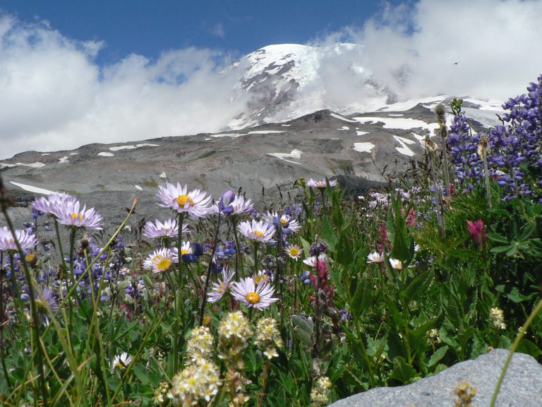 Mount Rainier National Park
An ice-clad volcano 14,410 feet (4,392 m) high above wildflower meadows, circled by the Wonderland Trail.
-
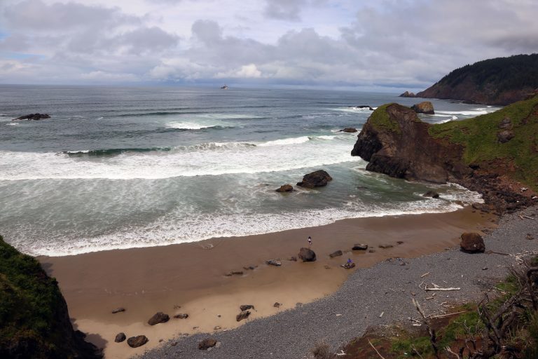 Ecola State Park
Nine miles (14 km) of headlands, sea stacks and old-growth spruce around Tillamook Head, between Cannon Beach and Seaside.
-
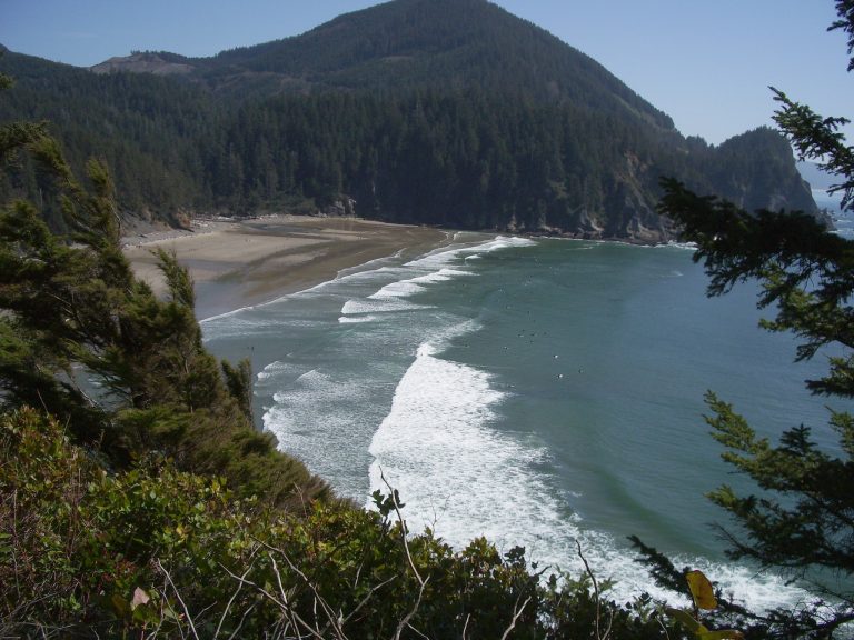 Oswald West State Park
A sheltered surf cove, two wild headlands and one of Oregon's best coastal rainforests, a half-mile (800 m) walk from Highway 101.
-
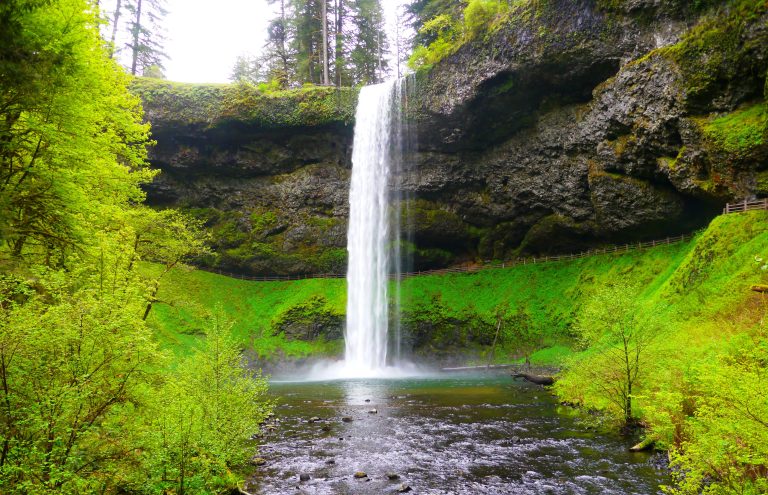 Silver Falls State Park
Ten waterfalls on one 7.2-mile (11.6 km) loop through a forested basalt canyon, four of them with the trail running behind the water.
Straight-line distance between park centres. Road distance is usually longer.
Looking for somewhere closer to home?
See every park and monument within a day’s drive of where you are.