

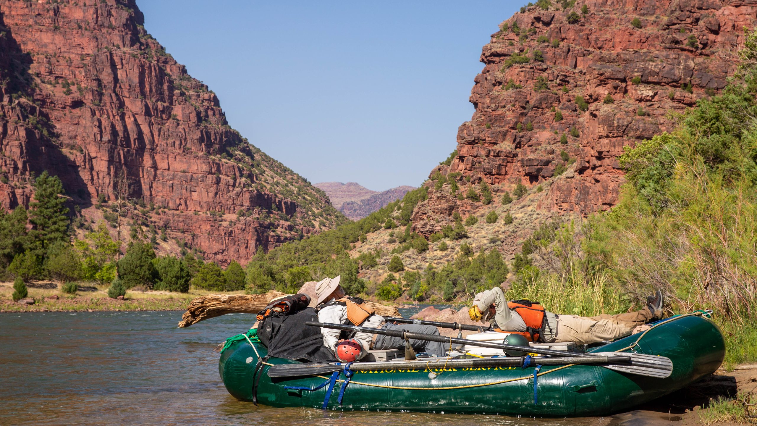
Dinosaur National Monument
Dinosaur National Monument straddles the Colorado-Utah line where the Green and Yampa rivers meet in deep canyons. Its Utah side holds a wall of about 1,500 dinosaur bones still set in the rock, and its canyons carry some of the West’s classic multi-day river trips.
Fast facts
- Established: 1915; enlarged in 1938 to take in the river canyons
- Size: about 210,000 acres (850 km²)
- Signature features: the Quarry Exhibit Hall’s wall of bones, the Canyon of Lodore and Echo Park
- Elevation: about 4,700 to 9,000 feet (1,430 to 2,740 m)
- Gateways: Jensen and Vernal, Utah; Dinosaur, Colorado
- Managed by: the National Park Service
The landscape
The Green River enters the monument through the Gates of Lodore, runs through the Canyon of Lodore and meets the Yampa at Echo Park, beneath the sandstone wall of Steamboat Rock. Upturned rock layers, sagebrush plateaus and juniper-covered rims surround the canyons. The fossils in the quarry come from the Morrison Formation, laid down about 150 million years ago.
Best time to go
Late spring and fall are best for hiking. Summer is hot at low elevations, over 100°F (38°C) at times, but it is the main river season. Winter is cold, with snow on the high roads.
Getting there and around
The monument has two separate sides. The Quarry Visitor Center and Exhibit Hall are about 7 miles (11 km) north of Jensen, Utah; only the Utah side has fossils on view. The Canyon Visitor Center is in Dinosaur, Colorado, where Harpers Corner Road runs north along a high ridge. Echo Park is reached by a steep dirt road that is impassable when wet, and Gates of Lodore by a long drive around the north side.
Things to do
Start at the Quarry Exhibit Hall and walk the Fossil Discovery Trail, 2.5 miles (4 km) round trip, to see bones still in the rock. The Swelter Shelter petroglyphs, the Box and Hog canyon trails near the Josie Morris cabin, and the Harpers Corner Trail, 2 miles (3.2 km) round trip to a viewpoint above the rivers, are easy outings.
Multi-day float trips through the Canyon of Lodore on the Green and down the Yampa are the monument’s great adventure, by permit or with a licensed outfitter. On foot, the Jones Hole Trail runs 8.5 miles (13.6 km) round trip along a trout stream, and the Ruple Point Trail, 9.2 miles (14.8 km) round trip, ends above Split Mountain Canyon.
Staying safe
Summer heat and dehydration are the main hazards on trails, so carry water and hike early. The rivers are cold and powerful, with serious rapids, so wear a life jacket and scout or run them only with experience. Thunderstorms bring lightning and flash floods, and dirt roads become impassable when wet.
Know before you go
An entrance fee applies (America the Beautiful pass accepted). River trips need a permit, awarded by lottery, unless you go with an outfitter. The two sides are hours apart by road, so plan which side you are visiting. This page is a general overview, not a live conditions report, so confirm conditions with the National Park Service before you go.
- Coordinates
- 40.4939, -108.9201
- Magnetic declination
- 9.5° E (2026)
Set this declination on your compass, then align it to the map's north lines; it is the angle between true north and magnetic north, refreshed each year.
How declination works, and how to navigate with a map and compass
A spread of the park’s main places shows straight away, and the rest appear as you zoom in. You can also search above, or pick any place from the lists below, and the map will go to it. Places in bold, marked , have a short description.
Getting there 6
Park entrance
Visitor centres
Ranger stations
On the trail 55
Trailheads
Routes
Campgrounds
Picnic sites
Sights 40
Viewpoints
Waterfall
Heritage sites
Points of interest
Islands
Peaks 18
Map data comes from third-party sources and may be incomplete or out of date, so carry a current official map (terms).
Looking for one of these closer to home?Destinations near me by trip type →
- Best seasons
- Late spring, Summer (river trips), Fall
- Difficulty
- Easy to strenuous
- Access / trailheads
- Quarry Visitor Center north of Jensen, Utah; Canyon Visitor Center in Dinosaur, Colorado. Echo Park and Gates of Lodore are reached by long drives, partly on dirt.
- Water
- At visitor centers and some campgrounds. River water must be treated.
- Cell / satellite coverage
- Patchy near the visitor centers; none in the canyons.
- Nearest ranger / SAR / emergency
- Emergencies: 911. Monument headquarters: 435-781-7700.
- Permits & regulations
- Entrance fee (America the Beautiful pass accepted). River trips on the Green and Yampa need a lottery permit unless with a licensed outfitter.
- Leave No Trace
- Leave fossils and rock art untouched, pack out all waste (river trips carry out human waste), and camp at designated sites.
January
- Below freezing all day
February
- Below-freezing nights
March
- Below-freezing nights
April
May
- Day-to-night swing of 31°F (17°C)Day-to-night swing of 17°C (31°F)
June
- Day-to-night swing of 36°F (20°C)Day-to-night swing of 20°C (36°F)
July
- Hot days
- Day-to-night swing of 36°F (20°C)Day-to-night swing of 20°C (36°F)
August
- Hot days
- Day-to-night swing of 35°F (19°C)Day-to-night swing of 19°C (35°F)
September
- Day-to-night swing of 35°F (19°C)Day-to-night swing of 19°C (35°F)
October This month
- Day-to-night swing of 30°F (17°C)Day-to-night swing of 17°C (30°F)
November
- Below-freezing nights
December
- Below-freezing nights
What to bring depends on your trip: how long you’re out, where you sleep, and how far you go from the road. The planner builds the list for yours.
Plan a trip here →Averages for 1991–2020 from NOAA U.S. Climate Normals, measured at the Dinosaur Nm-quarry Area station, 18 miles (29 km)29 km (18 miles) away at 4,802 feet (1,464 m)1,464 m (4,802 feet). Higher trails run colder, by about 3.5°F for every 1,000 ft (2°C per 300 m)2°C for every 300 m (3.5°F per 1,000 ft) of climb. Daylight runs from sunrise to sunset on the 15th, on the park’s own clock, for a level horizon. Valleys and slopes facing away from the sun are in shade earlier.
Nearby parks
-
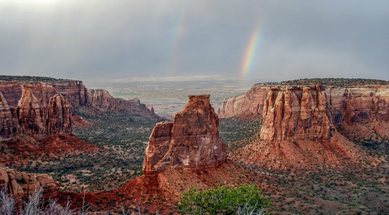 Colorado National Monument
Red sandstone canyons and towers above Grand Junction, with rim walks and canyon-floor routes below.
-
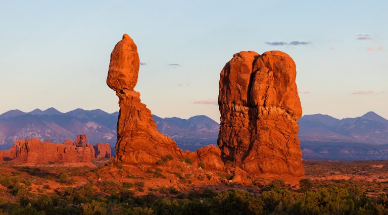 Arches National Park
More than 2,000 natural stone arches in red-rock desert just north of Moab, from Delicate Arch to the maze of the Fiery Furnace.
-
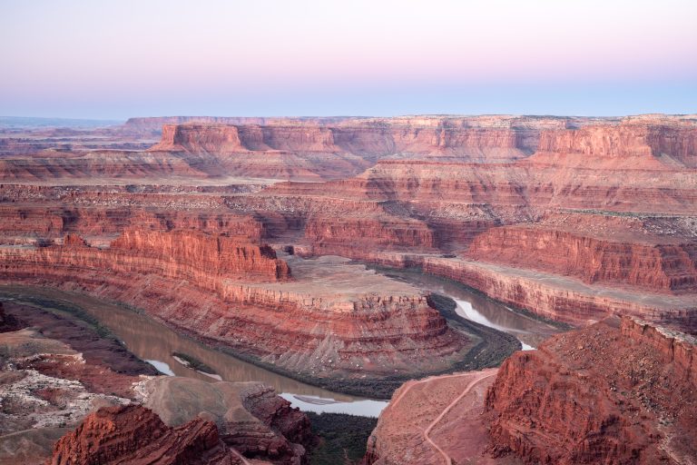 Dead Horse Point State Park
A mesa-top overlook 2,000 feet (600 m) above a gooseneck of the Colorado River, with rim trails, bike trails and some of Utah's darkest skies.
-
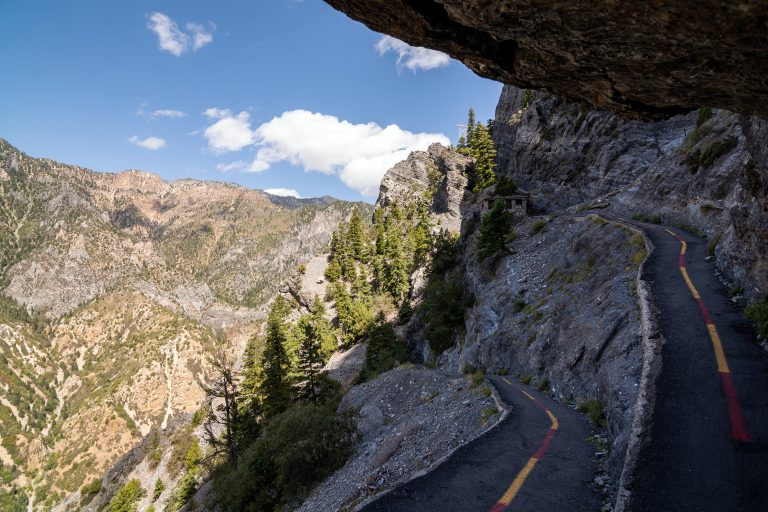 Timpanogos Cave National Monument
Three linked limestone caves high on a canyon wall near Salt Lake City, reached by a steep paved trail and a ranger-led tour.
Straight-line distance between park centres. Road distance is usually longer.
Looking for somewhere closer to home?
See every park and monument within a day’s drive of where you are.