

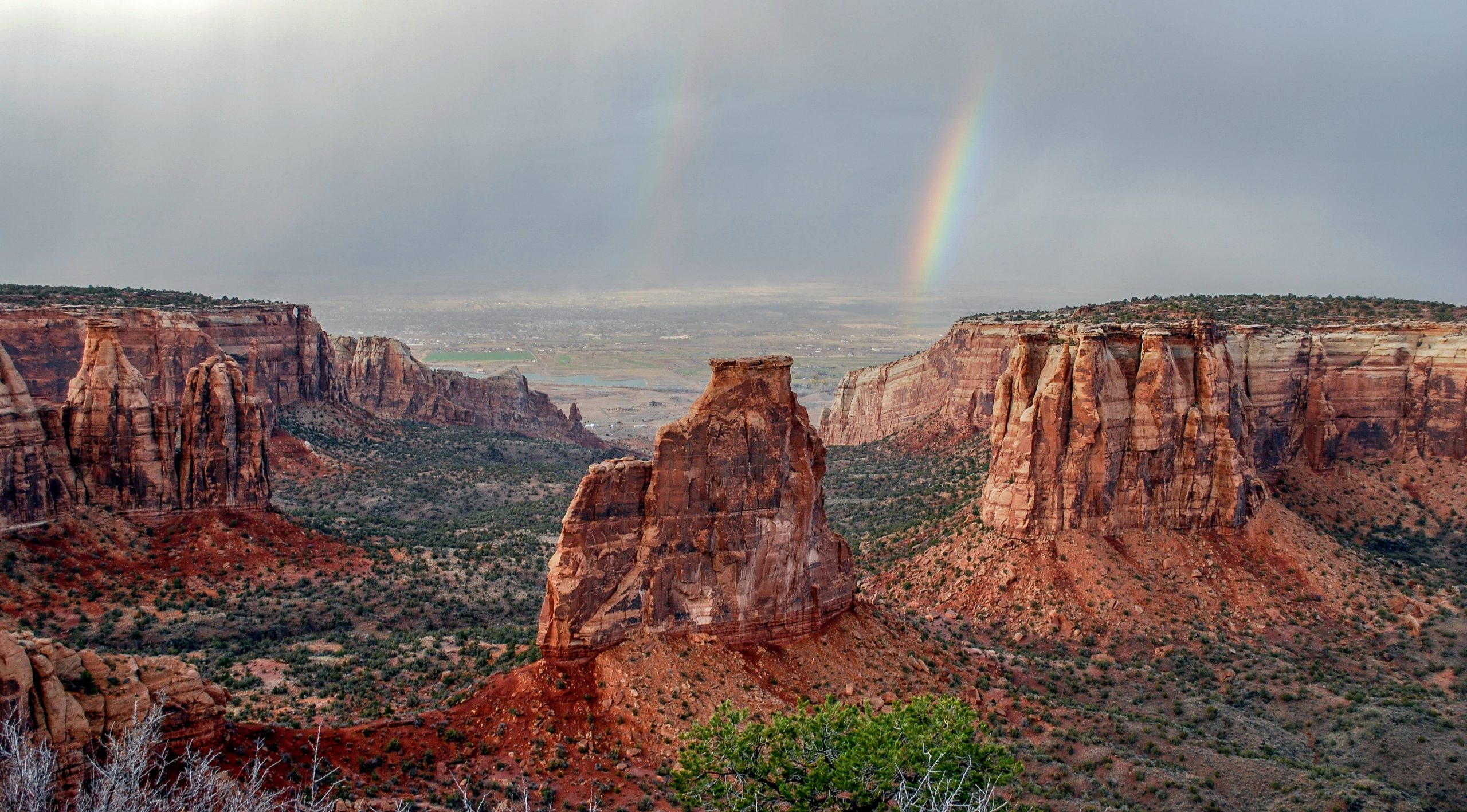
Colorado National Monument
Colorado National Monument rises in red sandstone walls above Grand Junction, with sheer canyons, free-standing towers and bighorn sheep along the rim. Rim Rock Drive links short overlook walks, and the canyon floors below hold long day hikes and overnight routes.
Fast facts
- Established: 1911
- Size: about 20,500 acres (83 km²)
- Signature feature: Independence Monument, a free-standing sandstone tower in Monument Canyon
- Scenic road: Rim Rock Drive, 23 miles (37 km) along the canyon rims
- Gateways: Fruita (west entrance) and Grand Junction (east entrance)
- Managed by: the National Park Service
The landscape
The monument sits on the edge of the Uncompahgre Plateau, where uplift and erosion have cut deep canyons into layers of red and tan sandstone. Towers, arches and balanced rocks stand in the canyons, and pinyon-juniper woodland covers the rim at around 6,000 to 7,000 feet (1,830 to 2,130 m). Desert bighorn sheep, golden eagles and ravens are common.
Best time to go
Spring and fall are best, with days of 70-85°F (21-29°C). Summer highs can reach 100°F (38°C) with afternoon thunderstorms, and winter brings snow and ice to the rim road and shaded trails.
Getting there and around
The west entrance is about 3 miles (5 km) from Fruita (I-70 exit 19), and the visitor center and campground are 4 miles (6 km) beyond it. The east entrance is on the edge of Grand Junction (I-70 exit 31). Rim Rock Drive connects the two, with tunnels, steep grades and sharp drop-offs. Trails into the canyons also start from the valley floor on the east side.
Things to do
Short trails along Rim Rock Drive, all under 2 miles (3.2 km) round trip, lead to overlooks: the Canyon Rim Trail and Window Rock near the visitor center, and Otto’s Trail to a view of the towers. Cyclists ride the full drive, a hard climb with big views.
Longer hikes drop into the canyons: the Monument Canyon Trail passes beneath Independence Monument and the Kissing Couple, No Thoroughfare Canyon follows seasonal pools and falls, and the Liberty Cap and Ute Canyon trails cross the backcountry. Monument, No Thoroughfare and Ute canyons are the usual choices for a night out, and climbers come for the sandstone towers.
Staying safe
Heat is the main hazard in summer, and canyon trails have little shade, so start early and carry plenty of water. The rim has unfenced drop-offs of hundreds of feet. Canyon trails are steep, with loose rock, and flash floods can run down the canyons in storms. Watch for rattlesnakes in warm weather.
Know before you go
An entrance fee applies (America the Beautiful pass accepted). Backcountry camping needs a free permit from the visitor center. Rim Rock Drive closes for snow, ice or rockfall. This page is a general overview, not a live conditions report, so confirm conditions with the National Park Service before you go.
- Coordinates
- 39.0491, -108.6893
- Magnetic declination
- 9.2° E (2026)
Set this declination on your compass, then align it to the map's north lines; it is the angle between true north and magnetic north, refreshed each year.
How declination works, and how to navigate with a map and compass
A spread of the park’s main places shows straight away, and the rest appear as you zoom in. You can also search above, or pick any place from the lists below, and the map will go to it. Places in bold, marked , have a short description.
Getting there 3
Park entrances
Visitor centre
On the trail 11
Trailhead
Routes
Campgrounds
Picnic sites
Sights 51
Viewpoints
Lake
Peaks 30
Map data comes from third-party sources and may be incomplete or out of date, so carry a current official map (terms).
Looking for one of these closer to home?Destinations near me by trip type →
- Best seasons
- Spring, Fall
- Difficulty
- Easy to strenuous
- Access / trailheads
- West entrance near Fruita (I-70 exit 19), east entrance at Grand Junction (I-70 exit 31); Rim Rock Drive links them. Lower trailheads on the valley floor.
- Water
- At the visitor center and campground only. Carry all water on the trails.
- Cell / satellite coverage
- Fair along much of the rim above Grand Junction; poor to none in the canyons.
- Nearest ranger / SAR / emergency
- Emergencies: 911. Visitor center: 970-858-2800.
- Permits & regulations
- Entrance fee (America the Beautiful pass accepted). Free backcountry permit for overnight trips, from the visitor center.
- Leave No Trace
- Stay on trails to protect biological soil crust, pack out all waste, keep pets off trails where they are not allowed, and give bighorn sheep space.
January
- Below-freezing nights
February
- Below-freezing nights
March
April
May
June
July
- Hot days
August
- Hot days
September
October This month
November
- Below-freezing nights
December
- Below-freezing nights
What to bring depends on your trip: how long you’re out, where you sleep, and how far you go from the road. The planner builds the list for yours.
Plan a trip here →Averages for 1991–2020 from NOAA U.S. Climate Normals, measured at the Colorado National Monument station at 5,781 feet (1,762 m)1,762 m (5,781 feet). Higher trails run colder, by about 3.5°F for every 1,000 ft (2°C per 300 m)2°C for every 300 m (3.5°F per 1,000 ft) of climb. Daylight runs from sunrise to sunset on the 15th, on the park’s own clock, for a level horizon. Valleys and slopes facing away from the sun are in shade earlier.
Nearby parks
-
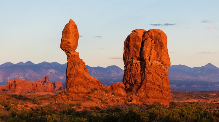 Arches National Park
More than 2,000 natural stone arches in red-rock desert just north of Moab, from Delicate Arch to the maze of the Fiery Furnace.
-
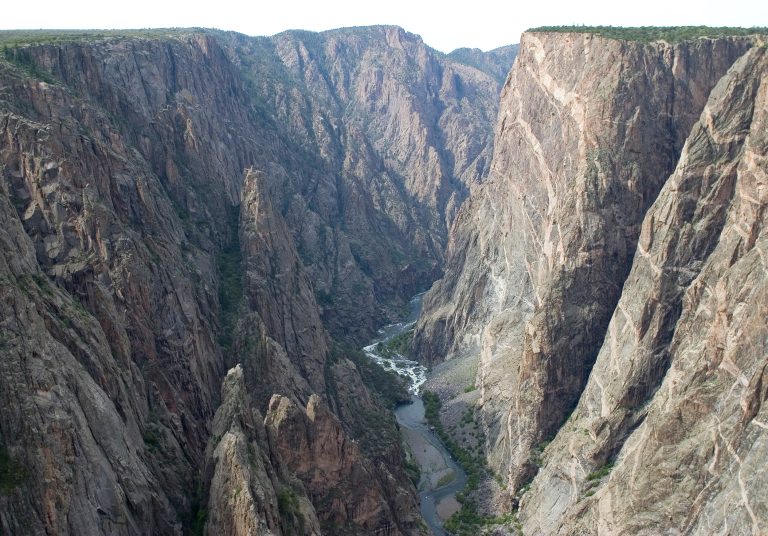 Black Canyon of the Gunnison National Park
A sheer gorge more than 2,700 feet (820 m) deep, cut by the Gunnison River in western Colorado.
-
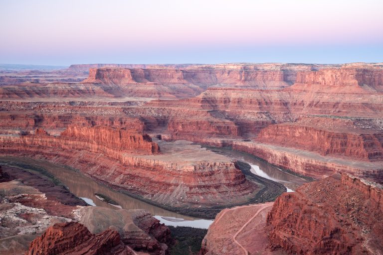 Dead Horse Point State Park
A mesa-top overlook 2,000 feet (600 m) above a gooseneck of the Colorado River, with rim trails, bike trails and some of Utah's darkest skies.
-
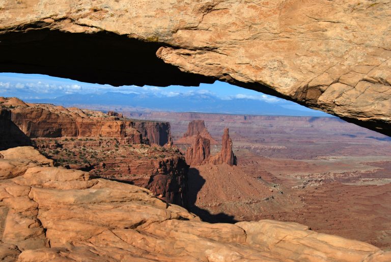 Canyonlands National Park
Utah's vast canyon country, split by the Green and Colorado rivers into Island in the Sky, the Needles and the remote Maze.
Straight-line distance between park centres. Road distance is usually longer.
Looking for somewhere closer to home?
See every park and monument within a day’s drive of where you are.