

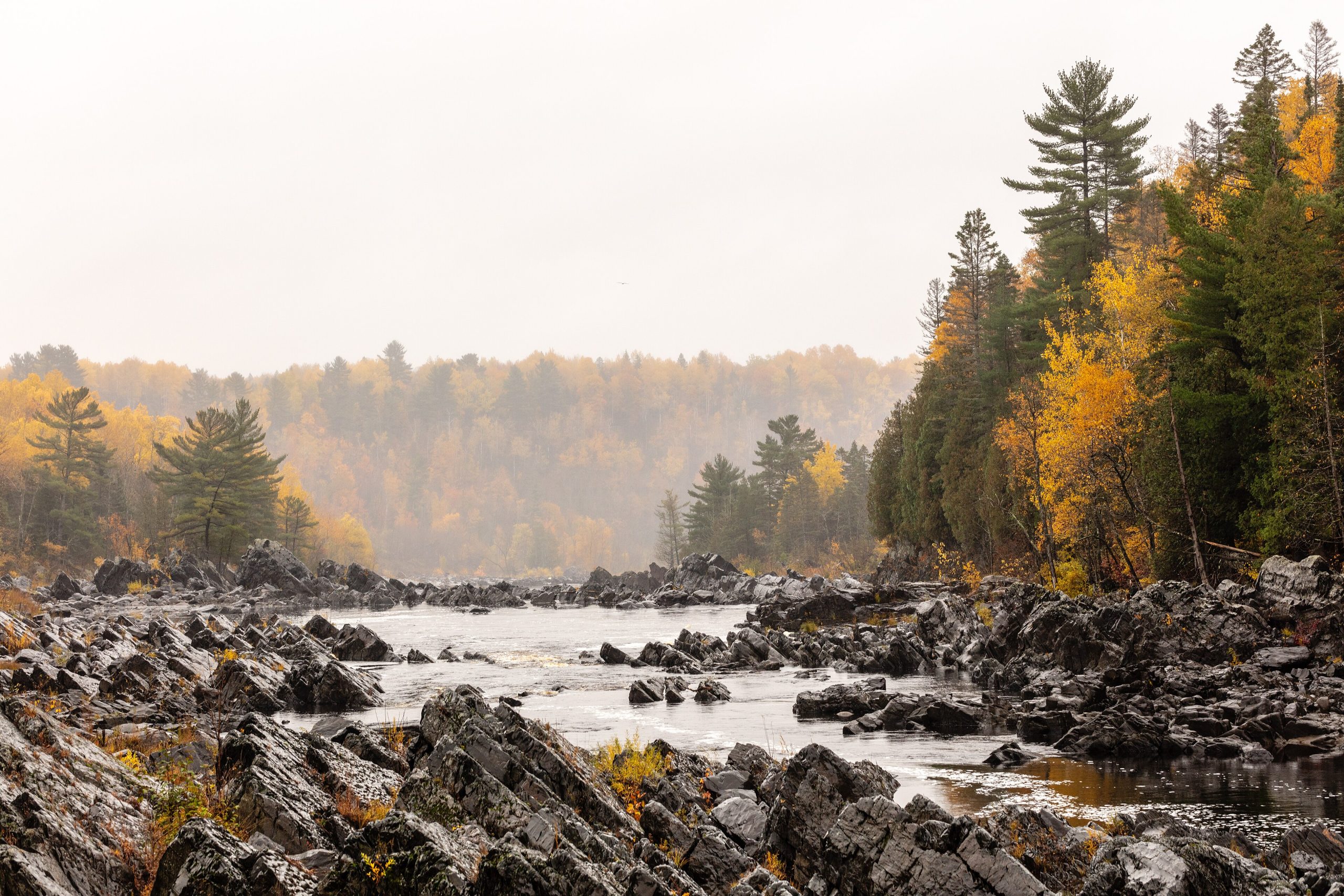
Jay Cooke State Park
Fast facts
- Size: about 9,000 acres (36 km²)
- River: the St. Louis, cutting a gorge through tilted slate
- Landmark: the swinging bridge across the river
- Gateway: Carlton and Duluth
- Managed by: the Minnesota Department of Natural Resources
The landscape
The St. Louis River tumbles through Jay Cooke over jagged ledges of tilted slate and greywacke, forming rapids and pools in a forested gorge. Old fur-trade portages, including the Grand Portage of the St. Louis, cross the park. White-tailed deer, black bears, timber wolves and many birds live here.
Best time to go
Spring brings roaring high water. Summer is busy; fall colour peaks in early October. Winter brings skiing and snowshoeing.
Getting there and around
Highway 210 runs through the park from Carlton. Parking areas lead to the swinging bridge, the river and trailheads. The Willard Munger State Trail, a paved bike trail, passes nearby.
Things to do
Hikers cross the swinging bridge and follow river and ridge trails. Backpackers use the hike-in campsites. Cyclists ride the Munger Trail, and winter visitors ski and snowshoe.
Staying safe
The river rocks are slippery and the currents are dangerous, especially in spring and after rain; stay back from the water. The river has flooded severely in the past. Check for ticks, store food properly and leave a trip plan.
Know before you go
This page is a general overview, not a live conditions report, so confirm conditions and reservations with the Minnesota DNR before you go.
- Coordinates
- 46.6505, -92.3512
- Magnetic declination
- 1.0° W (2026)
Set this declination on your compass, then align it to the map's north lines; it is the angle between true north and magnetic north, refreshed each year.
How declination works, and how to navigate with a map and compass
A spread of the park’s main places shows straight away, and the rest appear as you zoom in. You can also search above, or pick any place from the lists below, and the map will go to it. Places in bold, marked , have a short description.
Getting there 1
Visitor centre
On the trail 5
Campgrounds
Sights 4
Lakes
Point of interest
Peak
Map data comes from third-party sources and may be incomplete or out of date, so carry a current official map (terms).
Looking for one of these closer to home?Destinations near me by trip type →
- Best seasons
- Spring (high water), Summer, Fall (foliage), Winter
- Difficulty
- Easy to moderate
- Access / trailheads
- Highway 210 east of Carlton, about 20 minutes southwest of Duluth.
- Water
- River; filter or treat all water. Water at the campground.
- Cell / satellite coverage
- Fair near the highway, patchy along the river.
- Nearest ranger / SAR / emergency
- Emergencies: 911. Minnesota DNR information: 888-646-6367.
- Permits & regulations
- A Minnesota state park vehicle permit is required. Campsites, including backpack sites, are reserved online.
- Leave No Trace
- Stay off the river rocks in high water, camp only at reserved sites, and pack out all waste.
January
- Below freezing all day
February
- Below freezing all day
March
- Below-freezing nights
April
- Below-freezing nights
May
June
July
August
September
October This month
November
- Below-freezing nights
December
- Below freezing all day
What to bring depends on your trip: how long you’re out, where you sleep, and how far you go from the road. The planner builds the list for yours.
Plan a trip here →Averages for 1991–2020 from NOAA U.S. Climate Normals, measured at the Cloquet station, 9 miles (15 km)15 km (9 miles) away at 1,265 feet (386 m)386 m (1,265 feet). Higher trails run colder, by about 3.5°F for every 1,000 ft (2°C per 300 m)2°C for every 300 m (3.5°F per 1,000 ft) of climb. Daylight runs from sunrise to sunset on the 15th, on the park’s own clock, for a level horizon. Valleys and slopes facing away from the sun are in shade earlier.
Nearby parks
-
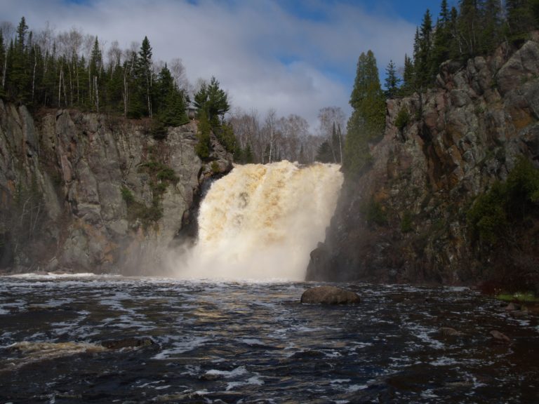 Tettegouche State Park
Lake Superior cliffs, the Baptism River's High Falls and inland lakes on Minnesota's North Shore, crossed by the Superior Hiking Trail.
-
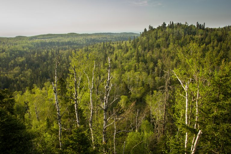 George H. Crosby Manitou State Park
Minnesota's first backpack-only park: a wild volcanic canyon of waterfalls on the Manitou River, on the Superior Hiking Trail.
-
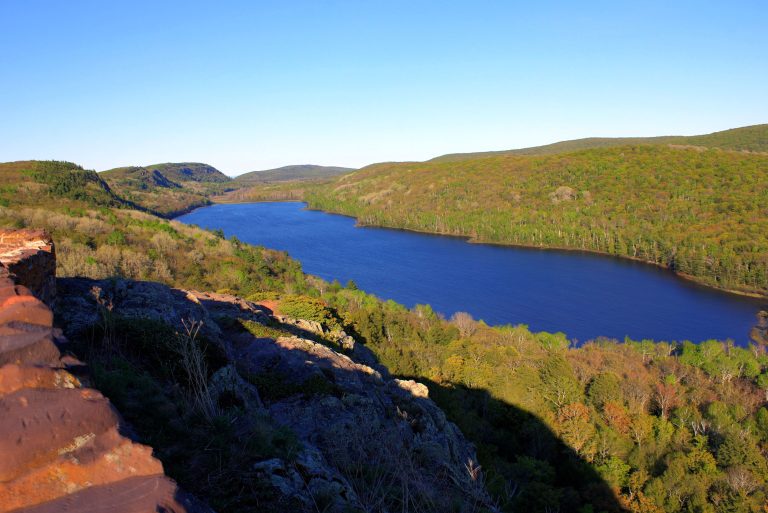 Porcupine Mountains Wilderness State Park
Michigan's largest state park: old-growth forest, Lake of the Clouds and wild Lake Superior shoreline on the far western Upper Peninsula.
-
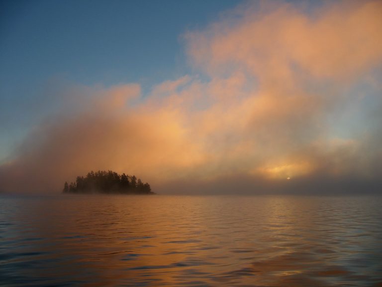 Quetico Provincial Park
Nearly 1,800 square miles (4,700 km²) of roadless canoe country on the Minnesota border, with almost no motors.
-
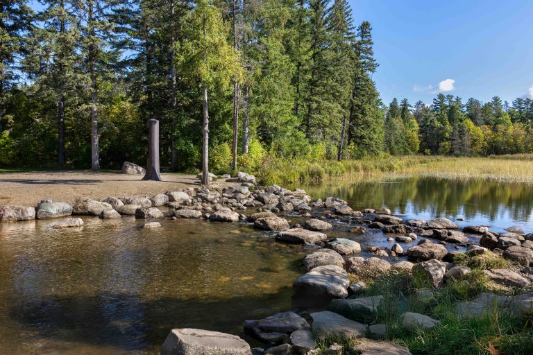 Itasca State Park
The source of the Mississippi River, where you can wade across the first few yards, set among old-growth pines and more than 100 lakes.
Straight-line distance between park centres. Road distance is usually longer.
Looking for somewhere closer to home?
See every park and monument within a day’s drive of where you are.