

Adirondack Park
Fast facts
- Established: 1892
- Size: about 6 million acres (24,000 km²), of which roughly 2.6 million acres are state Forest Preserve, protected as “forever wild”
- Highest point: Mount Marcy, 5,344 feet (1,629 m), the highest point in New York
- Character: a mix of public Forest Preserve and private land, towns and lakes
- Gateway: Lake Placid, Keene Valley, Saranac Lake and Old Forge
- Managed by: NYS Department of Environmental Conservation, with the Adirondack Park Agency
The landscape
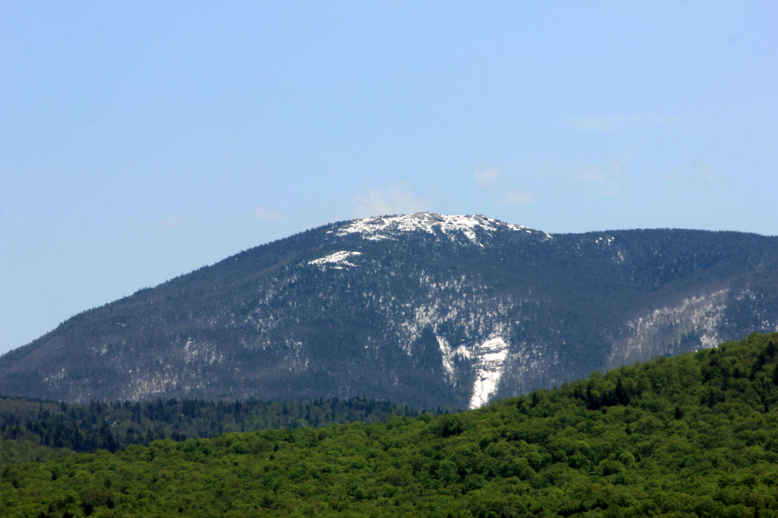
The Adirondacks are a dome of ancient rock in northern New York, larger than several states. The High Peaks rise in the northeast, with 46 summits traditionally counted over 4,000 feet (1,219 m) and a few with rare alpine tundra. Thousands of lakes and ponds and long rivers spread west, creating some of the best canoe country in the East. Black bears, moose, loons and beavers live across the park.
Best time to go
Summer brings hiking and paddling, with blackflies in late May and June. Late September and early October are spectacular for colour. Winter is long and cold, with skiing, snowshoeing and winter mountaineering. Spring mud season makes high trails fragile and slippery.
Getting there and around
The Northway runs up the park’s eastern edge, and state routes cross the interior. The High Peaks are reached from trailheads around Lake Placid and Keene Valley, where parking fills early on weekends. Paddlers use access points around the Saranac Lakes, the St. Regis Canoe Area and the Fulton Chain.
Things to do
Hikers climb Marcy, Algonquin and the other High Peaks, or quieter mountains across the park. Canoeists paddle multi-day routes through connected lakes and ponds. Backpackers find lean-tos and designated sites, and winter visitors ski and climb.
Staying safe
High Peaks trails are steep, rocky and slow, and summit weather can be far colder and windier than the valleys. Start early, carry layers, a headlamp and traction outside summer, and turn back when conditions worsen. In winter, snowshoes are required in the High Peaks when snow is deep. Use bear canisters where required. On the water, cold and wind can cause hypothermia. Carry a satellite messenger and leave a trip plan.
Know before you go
High Peaks rules on canisters, group size and AMR reservations are enforced. This page is a general overview, not a live conditions report, so confirm current trail conditions and rules with the NYS DEC before you go.
- Coordinates
- 43.9651, -74.3065
- Magnetic declination
- 12.9° W (2026)
Set this declination on your compass, then align it to the map's north lines; it is the angle between true north and magnetic north, refreshed each year.
How declination works, and how to navigate with a map and compass
A spread of the park’s main places shows straight away, and the rest appear as you zoom in. You can also search above, or pick any place from the lists below, and the map will go to it. Places in bold, marked , have a short description.
Getting there 28
Park entrance
Airstrips
Ranger stations
Fee stations
On the trail 128
Trailheads
Route
Campgrounds
Huts and shelters
Picnic sites
Sights 245
Viewpoints
Waterfalls
Lakes
Beaches
Heritage sites
Points of interest
Islands
Peaks 30
Map data comes from third-party sources and may be incomplete or out of date, so carry a current official map (terms).
Looking for one of these closer to home?Destinations near me by trip type →
- Best seasons
- Summer, Fall (foliage), Winter (skiing and snowshoeing)
- Difficulty
- Easy to strenuous
- Access / trailheads
- Interstate 87 (the Northway) along the east side; Routes 73, 86 and 30 through the interior. Lake Placid and Keene Valley are the hubs for the High Peaks.
- Water
- Streams and lakes everywhere; treat all water.
- Cell / satellite coverage
- Patchy in towns, none in much of the backcountry. Carry a satellite messenger.
- Nearest ranger / SAR / emergency
- Emergencies: 911. NYSDEC Forest Rangers: 1-833-NYS-RANGERS (1-833-697-7264).
- Permits & regulations
- In the High Peaks Wilderness, bear-resistant canisters are required for overnight campers in the Eastern Zone, groups are limited to 15 for day hikes and 8 overnight, and parking and access at the Adirondack Mountain Reserve (AMR) lot need a reservation from May 1 to October 31.
- Leave No Trace
- Camp only at designated sites or 150 feet (46 m) from trails and water, use bear canisters where required, stay on trail on the fragile alpine summits, and pack out all waste.
January
- Below freezing all day
February
- Below freezing all day
March
- Below-freezing nights
April
- Below-freezing nights
May
June
July
August
September
October This month
November
- Below-freezing nights
December
- Below freezing all day
What to bring depends on your trip: how long you’re out, where you sleep, and how far you go from the road. The planner builds the list for yours.
Plan a trip here →Averages for 1991–2020 from NOAA U.S. Climate Normals, measured at the Newcomb station, 4 miles (7 km)7 km (4 miles) away at 1,647 feet (502 m)502 m (1,647 feet). Higher trails run colder, by about 3.5°F for every 1,000 ft (2°C per 300 m)2°C for every 300 m (3.5°F per 1,000 ft) of climb. Daylight runs from sunrise to sunset on the 15th, on the park’s own clock, for a level horizon. Valleys and slopes facing away from the sun are in shade earlier.
Nearby parks
-
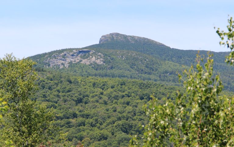 Camel’s Hump State Park
Vermont's most recognisable peak, an undeveloped summit with rare alpine tundra, crossed by the Long Trail.
-
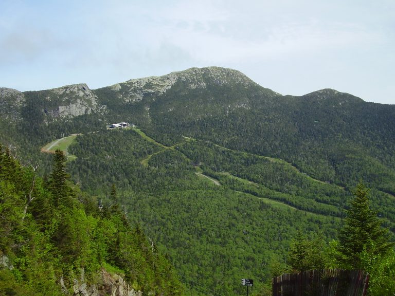 Mount Mansfield State Forest
Vermont's highest mountain: a long alpine ridge above Stowe and Smugglers' Notch, traversed by the Long Trail.
-
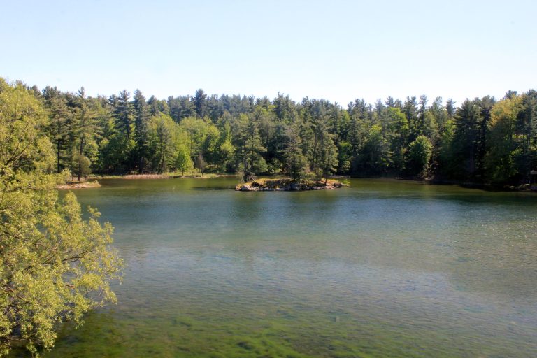 Thousand Islands National Park
Granite islands and channels in the St. Lawrence between Kingston and Brockville, best explored by kayak or boat.
-
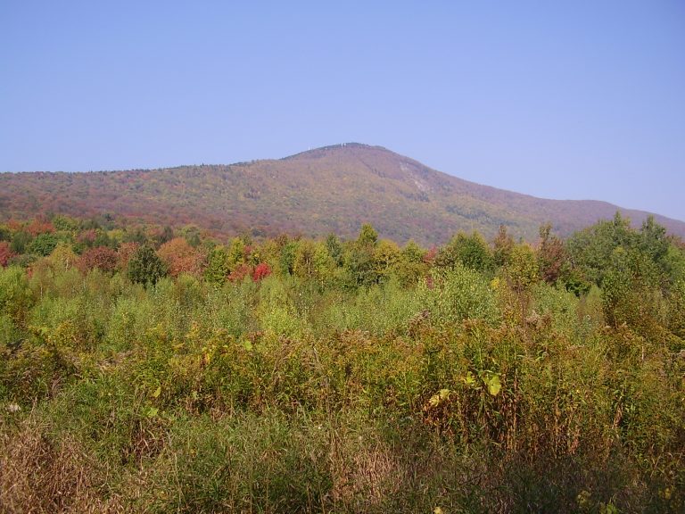 Mount Greylock State Reservation
The highest point in Massachusetts, crossed by the Appalachian Trail, with views over five states from the summit tower.
Straight-line distance between park centres. Road distance is usually longer.
Looking for somewhere closer to home?
See every park and monument within a day’s drive of where you are.