

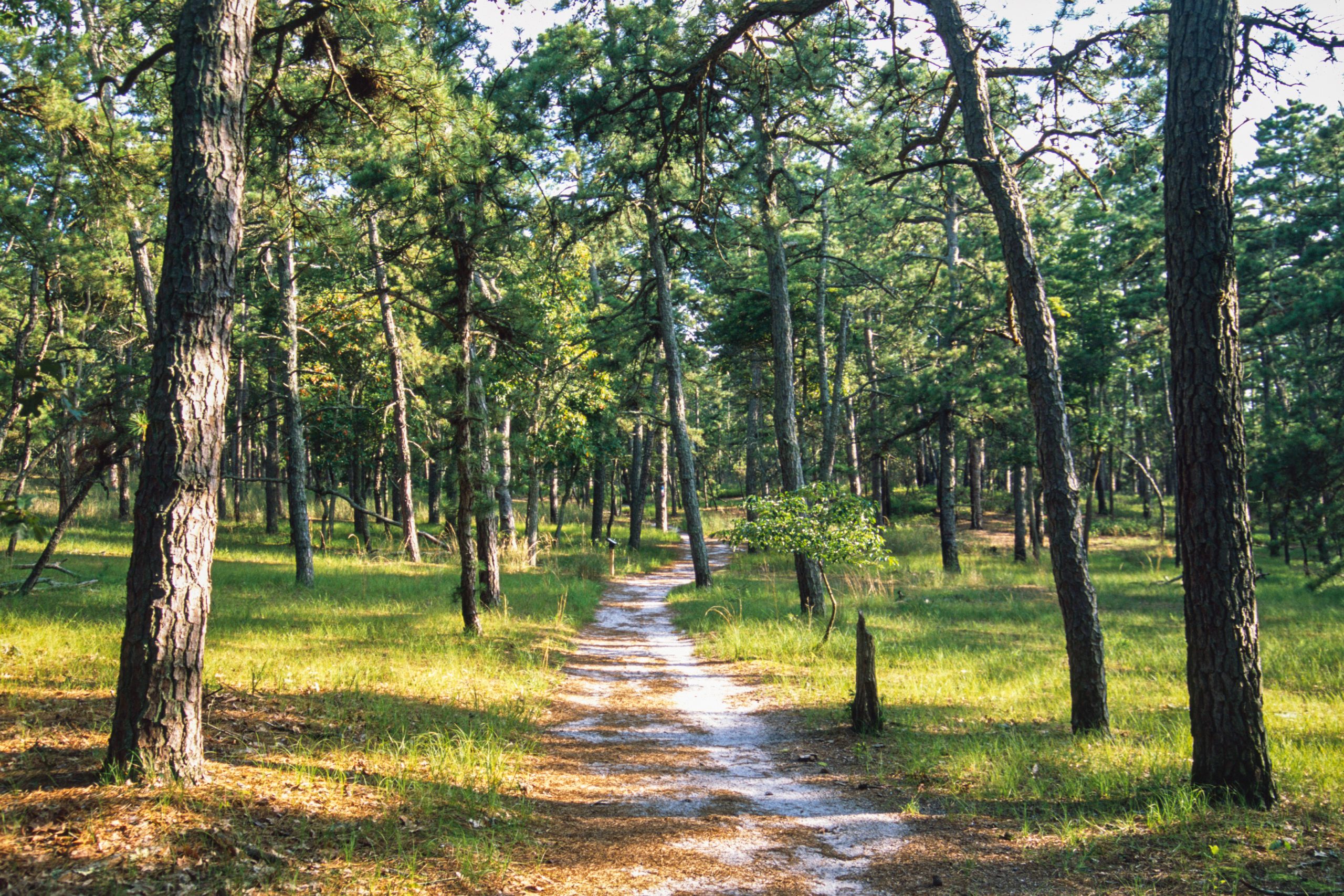
Wharton State Forest
Fast facts
- Size: about 125,000 acres (506 km²), the largest single tract of land in the New Jersey park system
- Setting: the Pinelands National Reserve
- Trail: part of the Batona Trail, which runs about 50 miles (80 km) through the Pine Barrens
- Rivers: the Mullica, Batsto, Wading and Oswego, all paddled for camping trips
- Gateway: Hammonton
- Managed by: New Jersey State Park Service
The landscape
Wharton covers a huge swath of the Pine Barrens: low pitch pine and oak forest on sandy soil, cedar swamps and tea-coloured rivers stained by cedar tannins. Fire shapes the landscape. The forest holds rare plants, tree frogs and snakes, and historic sites such as Batsto Village, an 18th-century iron-making town.
Best time to go
Spring and fall are the best seasons for hiking and paddling. Summer is hot and buggy. Winter is quiet and mild, a good time for the Batona Trail.
Getting there and around
Batsto Village and Atsion are the main hubs, reached from nearby highways. A maze of sand roads crosses the forest; many are soft and poorly marked, and some need four-wheel drive. Paddlers launch at points along the rivers, with outfitters nearby.
Things to do
Paddlers take day and overnight trips down the Batsto, Mullica and Wading rivers, with riverside campsites. Backpackers hike the Batona Trail, and cyclists ride the sand roads. Batsto Village and fire towers such as Apple Pie Hill add history and views.
Staying safe
Check for ticks and chiggers, especially in summer. Wildfire is a real risk; obey fire restrictions. Sand roads are confusing and easy to get stuck on; carry a map. Summer heat and insects call for water and repellent. Leave a trip plan.
Know before you go
This page is a general overview, not a live conditions report, so confirm current conditions, fire restrictions and permits with New Jersey State Parks before you go.
- Coordinates
- 39.7383, -74.6909
- Magnetic declination
- 12.0° W (2026)
Set this declination on your compass, then align it to the map's north lines; it is the angle between true north and magnetic north, refreshed each year.
How declination works, and how to navigate with a map and compass
A spread of the park’s main places shows straight away, and the rest appear as you zoom in. You can also search above, or pick any place from the lists below, and the map will go to it. Places in bold, marked , have a short description.
Getting there 2
Park entrance
Airstrip
On the trail 13
Route
Campgrounds
Hut or shelter
Sights 43
Lakes
Beach
Heritage sites
Points of interest
Island
Peaks
Map data comes from third-party sources and may be incomplete or out of date, so carry a current official map (terms).
Looking for one of these closer to home?Destinations near me by trip type →
- Best seasons
- Spring, Fall, Winter
- Difficulty
- Easy to moderate
- Access / trailheads
- Batsto Village and the Atsion Recreation Area, reached from US Route 206 and County Road 542 near Hammonton in the Pine Barrens.
- Water
- Rivers and streams; treat all water. Water at developed areas.
- Cell / satellite coverage
- Patchy across the forest.
- Nearest ranger / SAR / emergency
- Emergencies: 911.
- Permits & regulations
- Camping, including primitive sites on the Batona Trail and rivers, needs a permit or reservation through New Jersey State Parks.
- Leave No Trace
- Camp only at designated sites, obey fire restrictions, stay off fragile wetlands and pack out all waste.
January
- Below-freezing nights
February
- Below-freezing nights
March
- Below-freezing nights
April
May
June
July
August
September
October This month
November
December
- Below-freezing nights
What to bring depends on your trip: how long you’re out, where you sleep, and how far you go from the road. The planner builds the list for yours.
Plan a trip here →Averages for 1991–2020 from NOAA U.S. Climate Normals, measured at the Indian Mills station, 6 miles (10 km)10 km (6 miles) away at 100 feet (30 m)30 m (100 feet). Higher trails run colder, by about 3.5°F for every 1,000 ft (2°C per 300 m)2°C for every 300 m (3.5°F per 1,000 ft) of climb. Daylight runs from sunrise to sunset on the 15th, on the park’s own clock, for a level horizon. Valleys and slopes facing away from the sun are in shade earlier.
Nearby parks
-
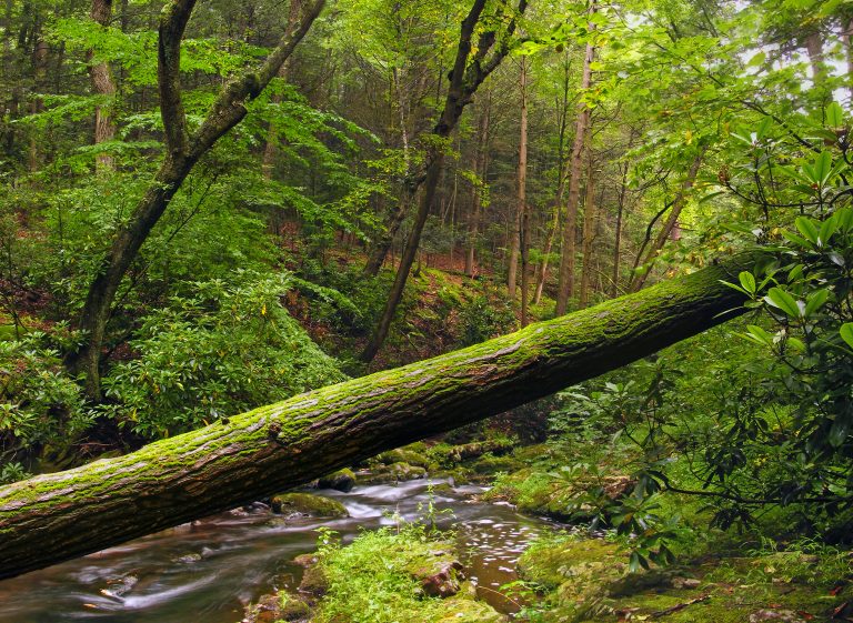 Stokes State Forest
The Kittatinny Ridge and the Appalachian Trail in the northwest corner of New Jersey, with Sunrise Mountain and Tillman Ravine.
-
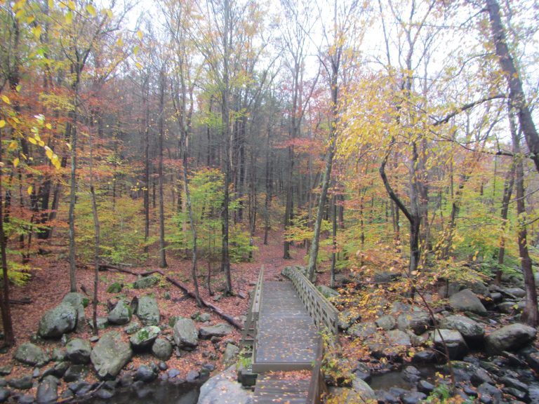 Harriman State Park
More than 200 miles (320 km) of trail and the Appalachian Trail an hour from Manhattan, with shelters for overnight trips.
-
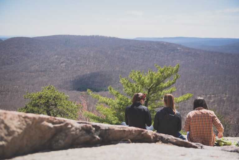 Bear Mountain State Park
Rugged Hudson Highlands summits above the river, the oldest section of the Appalachian Trail and a summit tower, under an hour and a half from New York City.
-
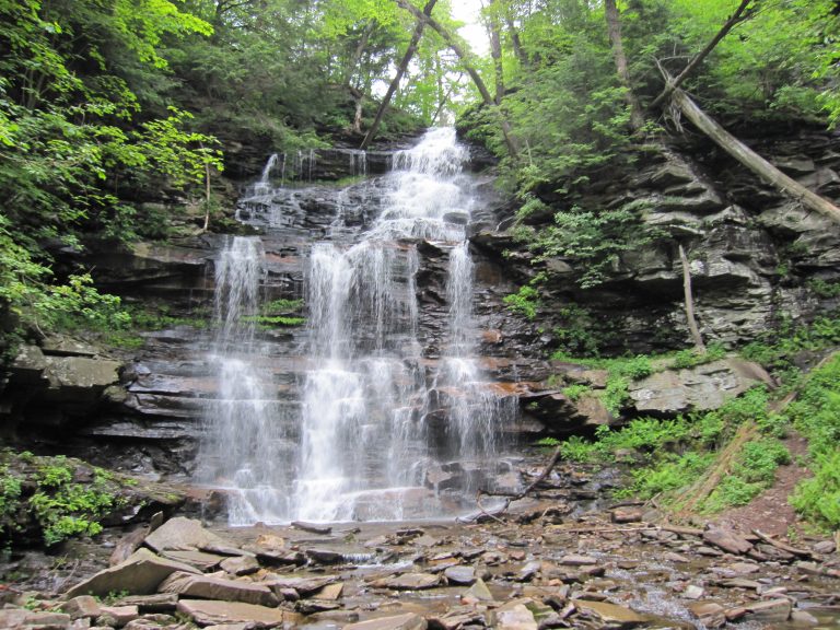 Ricketts Glen State Park
More than 20 named waterfalls in old-growth glens on one 7.2-mile (11.6 km) loop, among the best waterfall hikes in the eastern United States.
Straight-line distance between park centres. Road distance is usually longer.
Looking for somewhere closer to home?
See every park and monument within a day’s drive of where you are.