

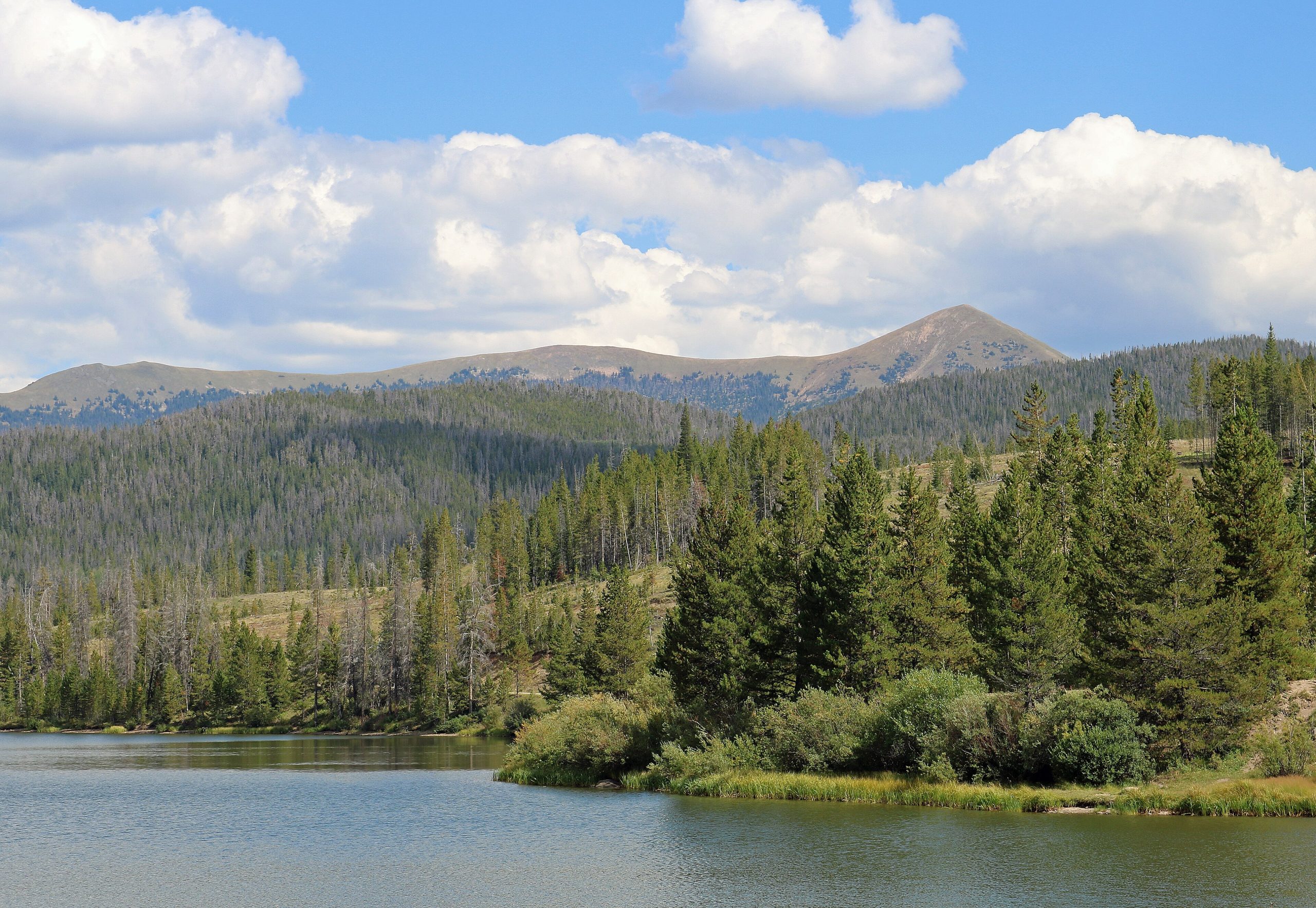
State Forest State Park
Fast facts
- Size: about 71,000 acres (287 km²)
- Setting: the Medicine Bow Mountains and the Never Summer Range, near Cameron Pass
- Wildlife: one of the best places in Colorado to see moose
- Gateway: Walden and Gould
- Managed by: Colorado Parks and Wildlife
The landscape
State Forest State Park covers a big sweep of northern Colorado high country: dense lodgepole and spruce forest, willow-filled valleys and jagged peaks such as the Nokhu Crags above Lake Agnes. The broad North Park valley lies to the west. Moose are common, along with elk, mule deer, black bears and many birds.
Best time to go
Summer brings wildflowers and afternoon storms. Fall brings aspen colour and moose rut. Winter snow is deep, and the park’s yurts and cabins are popular with skiers and snowshoers.
Getting there and around
Highway 14 crosses the park over Cameron Pass. Roads lead to campgrounds, North Michigan Reservoir and trailheads, many of them gravel. Backcountry yurts, cabins and campsites are reached on foot, ski or snowshoe.
Things to do
The short, steep hike to Lake Agnes below the Nokhu Crags is the most popular. Longer trails lead to alpine lakes and over passes into the Never Summer Range. Yurt and cabin trips are a winter tradition, and moose watching is year-round.
Staying safe
Moose are large, fast and aggressive when approached or with calves; give them plenty of room and keep dogs leashed. Altitude and afternoon thunderstorms call for early starts. In winter, check the avalanche forecast before heading onto steep slopes. Cell service is very limited, so carry a satellite messenger and leave a trip plan.
Know before you go
A parks pass is required, and yurts and cabins book up early. This page is a general overview, not a live conditions report, so confirm conditions and reservations with Colorado Parks and Wildlife before you go.
- Coordinates
- 40.6887, -106.0320
- Magnetic declination
- 8.1° E (2026)
Set this declination on your compass, then align it to the map's north lines; it is the angle between true north and magnetic north, refreshed each year.
How declination works, and how to navigate with a map and compass
A spread of the park’s main places shows straight away, and the rest appear as you zoom in. You can also search above, or pick any place from the lists below, and the map will go to it. Places in bold, marked , have a short description.
Getting there 3
Park entrance
Visitor centre
Ranger station
On the trail 4
Trailhead
Campground
Huts and shelters
Sights 26
Lakes
Heritage site
Points of interest
Peaks 14
Map data comes from third-party sources and may be incomplete or out of date, so carry a current official map (terms).
Looking for one of these closer to home?Destinations near me by trip type →
- Best seasons
- Summer, Fall, Winter (skiing and snowshoeing)
- Difficulty
- Easy to strenuous
- Access / trailheads
- Highway 14 over Cameron Pass between Fort Collins and Walden; from Denver, via Granby and Highway 125 to Rand, then County Road 27 to Highway 14.
- Water
- Streams and lakes; treat all water.
- Cell / satellite coverage
- Very limited. Carry a satellite messenger.
- Nearest ranger / SAR / emergency
- Emergencies: 911. Park office: 970-723-8366.
- Permits & regulations
- A Colorado State Parks pass is required. Campsites, yurts and cabins are reserved through Colorado Parks and Wildlife.
- Leave No Trace
- Keep your distance from moose, camp only in designated sites, store food properly and pack out all waste.
January
- Below freezing all day
- Avalanche terrain
February
- Below freezing all day
- Avalanche terrain
March
- Below-freezing nights
- Avalanche terrain
April
- Below-freezing nights
- Avalanche terrain
May
- Below-freezing nights
- Avalanche terrain
June
- Day-to-night swing of 33°F (18°C)Day-to-night swing of 18°C (33°F)
July
- Day-to-night swing of 33°F (18°C)Day-to-night swing of 18°C (33°F)
August
- Day-to-night swing of 34°F (19°C)Day-to-night swing of 19°C (34°F)
September
- Below-freezing nights
- Day-to-night swing of 33°F (18°C)Day-to-night swing of 18°C (33°F)
- Avalanche terrain
October This month
- Below-freezing nights
- Avalanche terrain
November
- Below-freezing nights
- Avalanche terrain
December
- Below freezing all day
- Avalanche terrain
What to bring depends on your trip: how long you’re out, where you sleep, and how far you go from the road. The planner builds the list for yours.
Plan a trip here →Averages for 1991–2020 from NOAA U.S. Climate Normals, measured at the Gould 4se Sfsp station, 12 miles (20 km)20 km (12 miles) away at 9,038 feet (2,755 m)2,755 m (9,038 feet). Higher trails run colder, by about 3.5°F for every 1,000 ft (2°C per 300 m)2°C for every 300 m (3.5°F per 1,000 ft) of climb. Daylight runs from sunrise to sunset on the 15th, on the park’s own clock, for a level horizon. Valleys and slopes facing away from the sun are in shade earlier.
Nearby parks
-
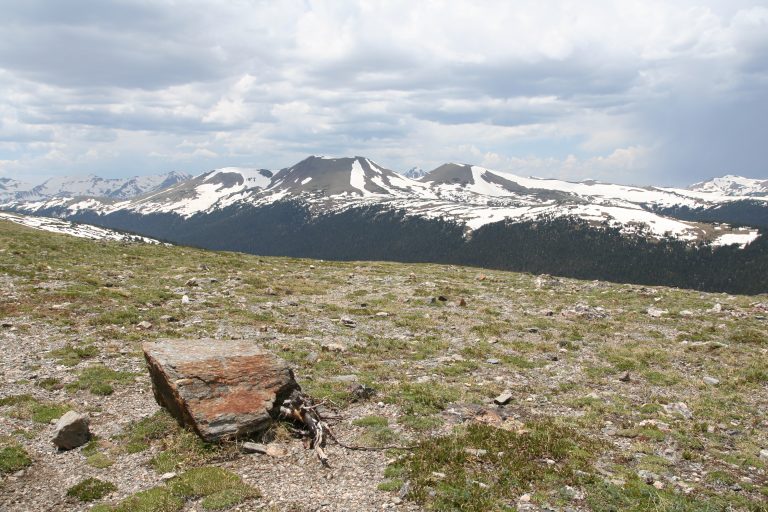 Rocky Mountain National Park
High Colorado peaks, alpine tundra and Trail Ridge Road, the highest continuous paved road in the U.S., with elk.
-
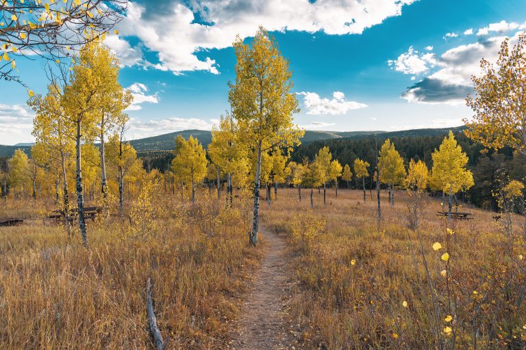 Golden Gate Canyon State Park
Mountain meadows, aspens and backcountry shelters within an hour of Denver, looking out on the Continental Divide.
-
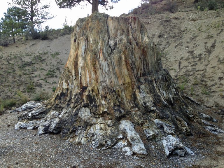 Florissant Fossil Beds National Monument
Petrified redwood stumps and fossil insects in a mountain valley west of Colorado Springs, with easy trails and meadow loops.
-
 Mueller State Park
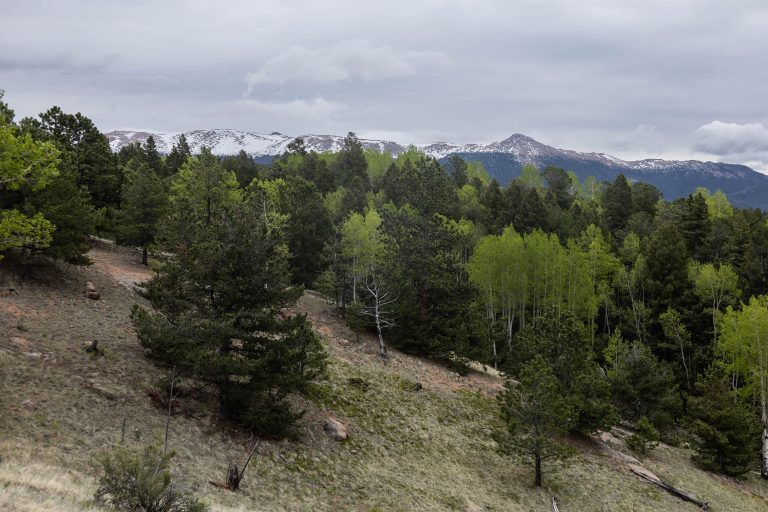
Aspen groves, spring-fed meadows and granite outcrops on the west side of Pikes Peak, with 44 miles (71 km) of trails and elk bugling in the fall.
Straight-line distance between park centres. Road distance is usually longer.
Looking for somewhere closer to home?
See every park and monument within a day’s drive of where you are.