

Wood-Tikchik State Park
Fast facts
- Established: 1978
- Size: nearly 1.6 million acres (6,475 km²), the largest state park in the United States
- Waters: two great chains of lakes, the Wood River lakes and the Tikchik lakes
- Gateway: Dillingham, reached by scheduled flights from Anchorage
- Managed by: Alaska State Parks
The landscape
Wood-Tikchik spreads across southwest Alaska from the tundra of the Nushagak lowlands into the Wood River Mountains. Long, deep lakes fill glacier-carved valleys, linked by clear, fast rivers. The park was created to protect salmon spawning grounds and the fish and wildlife that depend on them, and to keep subsistence use alive. Brown bears, caribou, moose, wolves and bald eagles are common.
Best time to go
June to August is the season for paddling and fishing. Summer weather is cool and changeable, with long days. The salmon runs peak in July and August, drawing bears to the rivers. Early fall brings colour and the first storms.
Getting there and around
The park is not connected to the road system. Visitors fly to Dillingham and charter a floatplane into the park, landing on one of the lakes. Paddlers then float the rivers and cross the lakes, often ending at Lake Aleknagik, where a road leads back to Dillingham. Lodges on the lakes offer guided fishing trips.
Things to do
Multi-week canoe and kayak trips through the lake chains and down rivers such as the Tikchik and Nuyakuk are the park’s signature adventure. The fishing, for salmon, rainbow trout, Arctic char and grayling, is world-class. Hiking into the mountains and watching bears and caribou round out a trip.
Staying safe
This is one of the most remote parks in North America. Carry a satellite phone or messenger, a full repair and first aid kit, and extra food for weather delays, since floatplanes cannot always fly. Big lakes build dangerous waves in wind; paddle near shore and wait out storms. Rivers have sweepers and cold, fast water. Brown bears are everywhere: carry bear spray, use bear-resistant containers and camp away from fishing streams. Leave a detailed trip plan with your air service.
Know before you go
Permits are required for camping and floating in the upper Tikchik areas. This page is a general overview, not a live conditions report, so confirm permits and conditions with Wood-Tikchik State Park before you go.
- Coordinates
- 59.9785, -158.6117
- Magnetic declination
- 10.5° E (2026)
Set this declination on your compass, then align it to the map's north lines; it is the angle between true north and magnetic north, refreshed each year.
How declination works, and how to navigate with a map and compass
A spread of the park’s main places shows straight away, and the rest appear as you zoom in. You can also search above, or pick any place from the lists below, and the map will go to it. Places in bold, marked , have a short description.
Getting there 2
Airstrips
Sights 23
Lakes
Peaks
Map data comes from third-party sources and may be incomplete or out of date, so carry a current official map (terms).
Looking for one of these closer to home?Destinations near me by trip type →
- Best seasons
- Summer (June to August)
- Difficulty
- Strenuous (remote, fly-in)
- Access / trailheads
- No connection to the road system. Fly to Dillingham on scheduled flights, then charter a floatplane to one of the park's lakes. A road runs from Dillingham to Lake Aleknagik at the park's southern edge.
- Water
- Lakes and rivers everywhere; treat all water.
- Cell / satellite coverage
- None. A satellite phone or messenger is essential.
- Nearest ranger / SAR / emergency
- Emergencies: satellite device to 911 (Alaska State Troopers). Wood-Tikchik State Park office: 907-842-2641.
- Permits & regulations
- Camping and floating permits are required in the Tikchik River, Nishlik Lake, Slate Lake, Upnuk Lake and Chikuminuk Lake areas. Apply online or through the park office.
- Leave No Trace
- Camp on gravel bars and durable ground, store food in bear-resistant containers, pack out everything, and respect subsistence camps and Native allotments.
January
- Below freezing all day
February
- Below freezing all day
March
- Below freezing all day
April
- Below-freezing nights
May
June
July
August
September
October This month
- Below-freezing nights
November
- Below freezing all day
December
- Below freezing all day
What to bring depends on your trip: how long you’re out, where you sleep, and how far you go from the road. The planner builds the list for yours.
Plan a trip here →Averages for 1991–2020 from NOAA U.S. Climate Normals, measured at the King Salmon station, 114 miles (183 km)183 km (114 miles) away at 144 feet (44 m)44 m (144 feet). That is the nearest station with long-term records, so treat these as a regional guide. Higher trails run colder, by about 3.5°F for every 1,000 ft (2°C per 300 m)2°C for every 300 m (3.5°F per 1,000 ft) of climb. Daylight runs from sunrise to sunset on the 15th, on the park’s own clock, for a level horizon. Valleys and slopes facing away from the sun are in shade earlier.
Nearby parks
-
 Katmai National Park
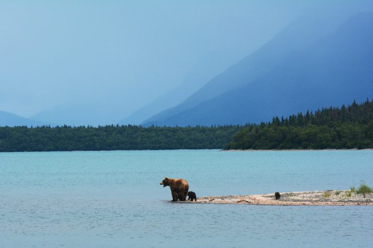
Brown bears fishing for salmon at Brooks Falls, and the Valley of Ten Thousand Smokes, on the Alaska Peninsula.
-
 Lake Clark National Park
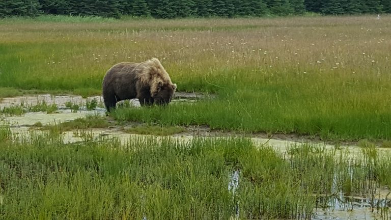
Volcanoes, glaciers and turquoise lakes across Cook Inlet from Anchorage, with coastal bears and Proenneke's cabin.
-
 Aniakchak National Monument and Preserve
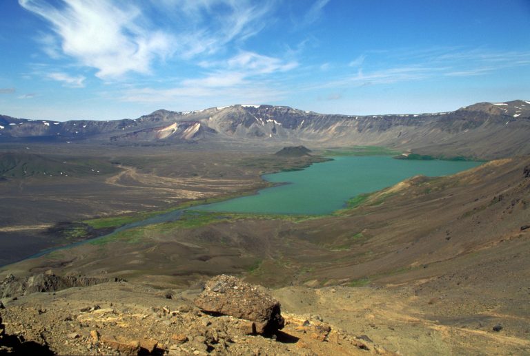
A volcanic caldera 6 miles (10 km) wide on the Alaska Peninsula, one of the least-visited parks in the country, reached only by air.
-
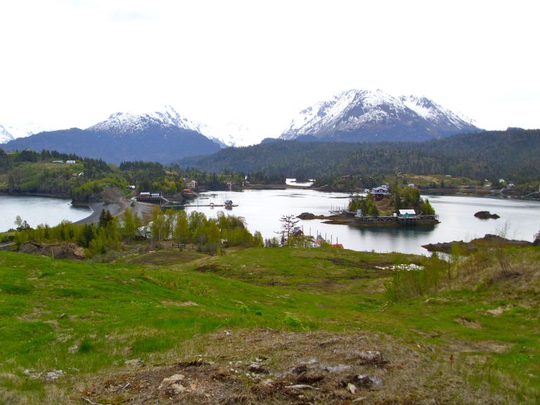 Kachemak Bay State Park
Alaska's first state park: glaciers, fjords and cabins across the bay from Homer, reached only by boat.
Straight-line distance between park centres. Road distance is usually longer.
Looking for somewhere closer to home?
See every park and monument within a day’s drive of where you are.