

Chugach State Park
Fast facts
- Established: 1970
- Size: about 495,000 acres (2,004 km²), one of the largest state parks in the United States
- Setting: the western Chugach Mountains, directly east of Anchorage
- Signature routes: Flattop Mountain and the Crow Pass trail
- Gateway: Anchorage, Eagle River and Girdwood
- Managed by: Alaska State Parks
The landscape
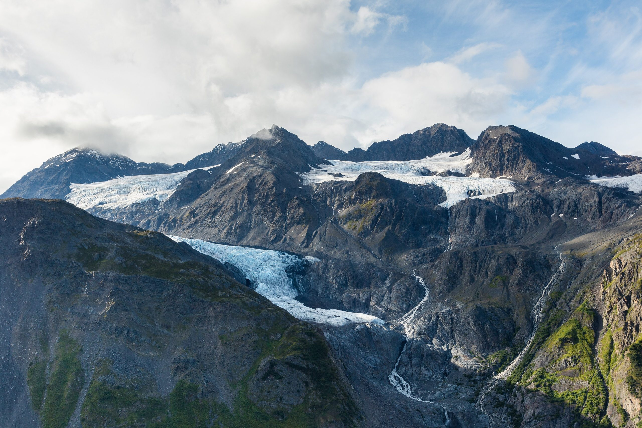
Chugach State Park rises straight out of Anchorage’s neighbourhoods into steep mountains, hanging valleys, glaciers and alpine lakes. Its north side drains to the Eagle and Eklutna rivers; its south side drops to Turnagain Arm, where Dall sheep graze the cliffs above the highway. Brown and black bears, moose, wolves, mountain goats and beluga whales in the arm all share the park with a city of 290,000.
Best time to go
June to September is hiking season, with long days in midsummer and fall colour in late August and September. Snow comes early to the high country and lingers into June. Winter brings skiing, snowshoeing and ice skating on Eklutna Lake, but the mountains hold serious avalanche terrain, and many accidents happen close to town.
Getting there and around
Trailheads line the edge of Anchorage, the Seward Highway along Turnagain Arm and the Glenn Highway north of the city. Glen Alps is the start for Flattop and the front-range peaks. The Eagle River Nature Center and Eklutna Lake lead deeper into the park. Many valleys are reached only on foot.
Things to do
Flattop Mountain is one of the most climbed peaks in Alaska, a short, steep hike above the city. The Crow Pass trail crosses from Girdwood to Eagle River past a glacier, an old gold mine and a river ford. Eklutna Lake offers paddling, biking and cabins. Climbers and scramblers find hundreds of peaks, and winter visitors ski and snowshoe the valleys.
Staying safe
This is real bear country close to a city: carry bear spray, make noise and store food properly. Moose are common and dangerous when surprised or with calves. Weather changes fast, and summits are colder and windier than town. Rivers such as Eagle River on the Crow Pass route are cold and powerful, so cross with care or not at all. In winter and spring, check the avalanche forecast before heading into any slope. Leave a trip plan.
Know before you go
Parking fees apply at many trailheads, and cabins book up in summer. This page is a general overview, not a live conditions report, so confirm current conditions, closures and avalanche forecasts with Alaska State Parks before you go.
- Coordinates
- 61.2064, -149.3125
- Magnetic declination
- 14.2° E (2026)
Set this declination on your compass, then align it to the map's north lines; it is the angle between true north and magnetic north, refreshed each year.
How declination works, and how to navigate with a map and compass
A spread of the park’s main places shows straight away, and the rest appear as you zoom in. You can also search above, or pick any place from the lists below, and the map will go to it. Places in bold, marked , have a short description.
Getting there 7
Park entrance
Airstrips
Visitor centre
Ranger stations
Fee station
On the trail 59
Trailheads
Routes
Campgrounds
Huts and shelters
Sights 95
Viewpoints
Waterfalls
Lakes
Beach
Points of interest
Peaks 29
Map data comes from third-party sources and may be incomplete or out of date, so carry a current official map (terms).
Looking for one of these closer to home?Destinations near me by trip type →
- Best seasons
- Summer (June to September), Winter (skiing and snowshoeing)
- Difficulty
- Easy to strenuous
- Access / trailheads
- Trailheads on Anchorage's eastern edge (Glen Alps, Prospect Heights), along the Seward Highway on Turnagain Arm, and off the Glenn Highway at Eagle River and Eklutna Lake.
- Water
- Streams and lakes; treat all water.
- Cell / satellite coverage
- Good near Anchorage and on ridgelines facing the city, none in the deeper valleys. Carry a satellite messenger beyond the front range.
- Nearest ranger / SAR / emergency
- Emergencies: 911 (Alaska State Troopers coordinate search and rescue).
- Permits & regulations
- Parking fees apply at many trailheads. Public-use cabins are reserved through Alaska State Parks.
- Leave No Trace
- Camp away from trails and water, store food in bear-resistant containers, give moose and bears plenty of space, and pack out all waste.
January
- Below freezing all day
February
- Below freezing all day
March
- Below-freezing nights
April
- Below-freezing nights
May
June
July
August
September
October This month
- Below-freezing nights
November
- Below freezing all day
December
- Below freezing all day
What to bring depends on your trip: how long you’re out, where you sleep, and how far you go from the road. The planner builds the list for yours.
Plan a trip here →Averages for 1991–2020 from NOAA U.S. Climate Normals, measured at the Eagle Rvr Nature Center station, 2 miles (4 km)4 km (2 miles) away at 520 feet (158 m)158 m (520 feet). Higher trails run colder, by about 3.5°F for every 1,000 ft (2°C per 300 m)2°C for every 300 m (3.5°F per 1,000 ft) of climb. Daylight runs from sunrise to sunset on the 15th, on the park’s own clock, for a level horizon. Valleys and slopes facing away from the sun are in shade earlier.
Nearby parks
-
 Kenai Fjords National Park
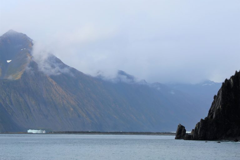
The Harding Icefield and its tidewater glaciers, by boat from Seward or on foot at Exit Glacier, with whales and puffins.
-
 Denali State Park
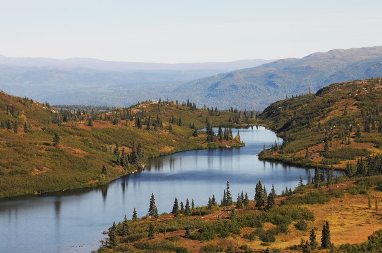
The quieter neighbour of Denali National Park: a 35-mile (56 km) alpine ridge with road-accessible views of the mountain.
-
 Kachemak Bay State Park
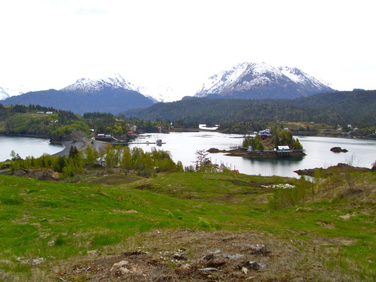
Alaska's first state park: glaciers, fjords and cabins across the bay from Homer, reached only by boat.
-
 Lake Clark National Park
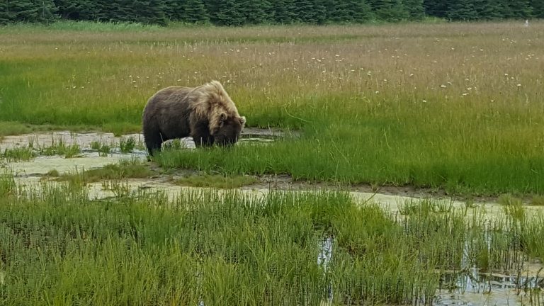
Volcanoes, glaciers and turquoise lakes across Cook Inlet from Anchorage, with coastal bears and Proenneke's cabin.
Straight-line distance between park centres. Road distance is usually longer.
Looking for somewhere closer to home?
See every park and monument within a day’s drive of where you are.