

Lake Superior Provincial Park
Fast facts
- Established: 1944
- Size: about 620 square miles (1,608 km²)
- Backcountry: 163 campsites in 76 zones
- Signature route: the Coastal Trail, about 40 miles (65 km) along Lake Superior
- Gateway: Sault Ste. Marie and Wawa
- Managed by: Ontario Parks
The landscape
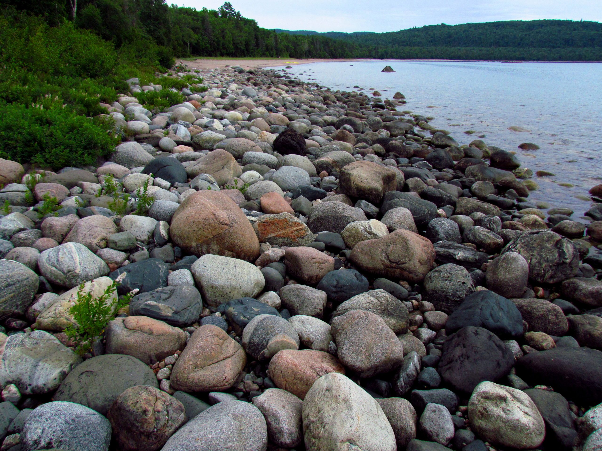
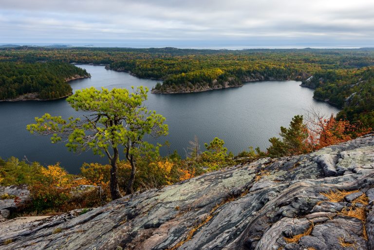
Lake Superior Provincial Park follows the eastern shore of the largest freshwater lake in the world, where rocky headlands, cobble beaches and sand coves meet the boreal forest. Inland, rugged hills, rivers and hundreds of lakes stretch back from the shore. The Agawa Rock pictographs, painted on a cliff above the water, are a sacred Ojibwe site. Moose, black bears, wolves and woodland caribou have all been recorded here.
Best time to go
Summer is the main season, though Lake Superior keeps the coast cool and foggy. Late September and early October bring some of the best fall colour in Ontario. June is peak bug season. Storms on the lake can arrive at any time.
Getting there and around
Highway 17 runs through the park for much of its length, with the Agawa Bay and Rabbit Blanket Lake campgrounds, trailheads and canoe access points along it. The Coastal Trail runs from Agawa Bay north to Chalfant Cove, and most backcountry sites are reached on foot or by canoe from the highway.
Things to do
The Coastal Trail is one of Canada’s toughest hikes, scrambling over boulders and headlands along the shore. Shorter trails lead to lookouts, waterfalls and the Agawa pictographs. Inland canoe routes link lakes and rivers, and experienced sea kayakers paddle the coast. The drive along Highway 17 is a highlight in itself.
Staying safe
Lake Superior is cold year-round and can build dangerous waves quickly; stay well back from the water on exposed rock, especially at the pictographs, where people have been swept in. The Coastal Trail is slow, rugged and remote, so allow extra time and carry a satellite messenger. Paddlers need cold-water gear and open-water skills. Store food away from bears and leave a trip plan.
Know before you go
Backcountry zones are reserved through Ontario Parks up to five months ahead. This page is a general overview, not a live conditions report, so confirm current conditions, fire bans and reservations with Ontario Parks before you go.
- Coordinates
- 47.4911, -84.7701
- Magnetic declination
- 7.2° W (2026)
Set this declination on your compass, then align it to the map's north lines; it is the angle between true north and magnetic north, refreshed each year.
How declination works, and how to navigate with a map and compass
A spread of the park’s main places shows straight away, and the rest appear as you zoom in. You can also search above, or pick any place from the lists below, and the map will go to it. Places in bold, marked , have a short description.
On the trail 17
Trailhead
Route
Campgrounds
Picnic sites
Sights 68
Viewpoint
Waterfalls
Lakes
Beaches
Heritage sites
Point of interest
Islands
Map data comes from third-party sources and may be incomplete or out of date, so carry a current official map (terms).
Looking for one of these closer to home?Destinations near me by trip type →
- Best seasons
- Summer, Early fall (foliage)
- Difficulty
- Easy to strenuous
- Access / trailheads
- Highway 17 runs through the park between Sault Ste. Marie (south) and Wawa (north), with campgrounds, trailheads and canoe access points along it.
- Water
- Lakes and streams; filter or treat all water.
- Cell / satellite coverage
- Patchy along Highway 17, none on most of the Coastal Trail. Carry a satellite messenger.
- Nearest ranger / SAR / emergency
- Emergencies: 911 (Ontario Provincial Police lead search and rescue).
- Permits & regulations
- Every vehicle needs a provincial park permit. Backcountry camping needs a zone-specific reservation, which serves as your interior permit; display your reservation number on your dashboard.
- Leave No Trace
- Camp at designated sites in your reserved zone, use the box privies, store food from bears and pack out all waste.
January
- Below freezing all day
February
- Below freezing all day
March
- Below freezing all day
April
- Below-freezing nights
May
June
July
August
September
October This month
November
- Below-freezing nights
December
- Below freezing all day
What to bring depends on your trip: how long you’re out, where you sleep, and how far you go from the road. The planner builds the list for yours.
Plan a trip here →Averages for 1981–2010 from Environment Canada climate normals, measured at the Wawa Airport station, 33 miles (53 km)53 km (33 miles) away at 942 feet (287 m)287 m (942 feet). Higher trails run colder, by about 3.5°F for every 1,000 ft (2°C per 300 m)2°C for every 300 m (3.5°F per 1,000 ft) of climb. Daylight runs from sunrise to sunset on the 15th, on the park’s own clock, for a level horizon. Valleys and slopes facing away from the sun are in shade earlier.
Nearby parks
-
 Tahquamenon Falls State Park
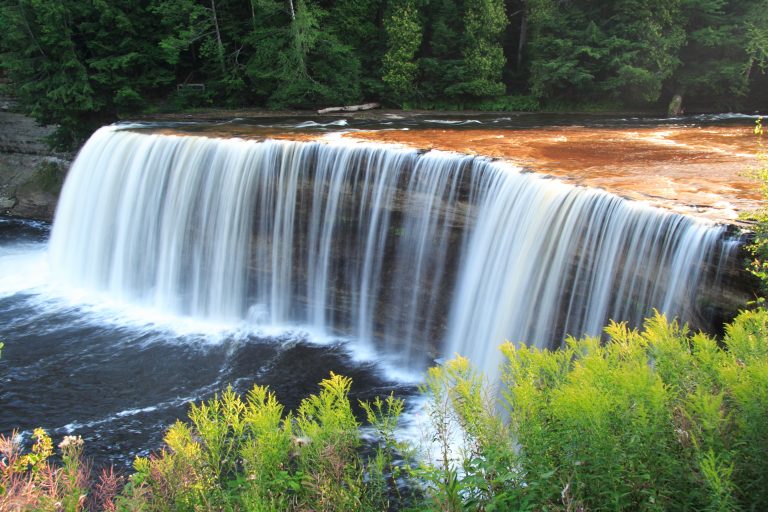
Root-beer-coloured water thundering over the Upper Falls in Michigan's eastern Upper Peninsula, on the North Country Trail.
-
 Pukaskwa National Park
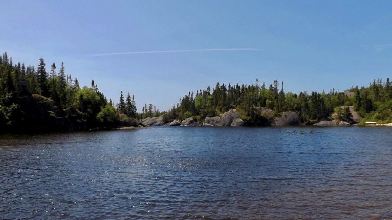
The wild Lake Superior shore of northern Ontario, with the Coastal Hiking Trail, the White River suspension bridge and granite coves.
-
 Craig Lake State Park
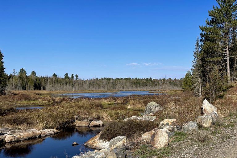
Michigan's most remote state park: six wild lakes, moose and hike-in campsites at the end of a very rough road in the Upper Peninsula.
-
 Killarney Provincial Park
White quartzite ridges and clear lakes in the La Cloche Mountains, painted by the Group of Seven, with a 50-mile (80 km) loop.
Straight-line distance between park centres. Road distance is usually longer.
Looking for somewhere closer to home?
See every park and monument within a day’s drive of where you are.