

Clearwater River Provincial Park
Fast facts
- Established: 1986
- River: the Clearwater, a Canadian Heritage River
- Whitewater: Class 2 to Class 4 rapids, with waterfalls and canyons
- History: the Methye Portage, a key fur-trade route to the Athabasca country
- Gateway: La Loche
- Managed by: Saskatchewan Parks
The landscape
The Clearwater River runs west across the northern Saskatchewan boreal forest toward Alberta, cutting through sandstone and granite in canyons, falls and long rapids. Clear water, sand beaches and spruce and jack pine forest line the banks. The Methye Portage, once the gateway for fur traders crossing into the Arctic watershed, lies at the river’s western end. Moose, black bears, wolves and river otters live along the river.
Best time to go
The paddling season is short, from late June to August, when water levels and weather are most reliable. Early summer brings higher water and bugs; late summer brings lower water with more rocks showing. Wildfire and smoke are possible in dry years.
Getting there and around
From La Loche, Highway 955 leads northeast to Warner Rapids, where the road crosses the river and paddlers put in for the lower Clearwater, the faster and more dramatic section. Paddlers wanting the upper river fly in by floatplane. Trips end at road access or with a floatplane pick-up.
Things to do
The Clearwater is a multi-day wilderness whitewater trip for experienced paddlers, with a mix of runnable rapids and mandatory portages around falls. Anglers fish for Arctic grayling, walleye and pike. The wilderness campground near Warner Rapids is a base for shorter trips.
Staying safe
This river is for skilled whitewater paddlers only. Scout every rapid you do not know, and portage around falls and anything beyond your ability. Wear a life jacket and helmet in whitewater, and carry spare paddles and a repair kit. Help is far away and there is no cell service, so carry a satellite messenger and leave a detailed trip plan. Store food away from bears and check fire status before leaving.
Know before you go
A park entry permit is required. This page is a general overview, not a live conditions report, so confirm water levels, fire restrictions and access with Sask Parks before you go.
- Coordinates
- 56.8983, -108.9810
- Magnetic declination
- 11.7° E (2026)
Set this declination on your compass, then align it to the map's north lines; it is the angle between true north and magnetic north, refreshed each year.
How declination works, and how to navigate with a map and compass
A spread of the park’s main places shows straight away, and the rest appear as you zoom in. You can also search above, or pick any place from the lists below, and the map will go to it. Places in bold, marked , have a short description.
Sights 2
Heritage site
Point of interest
Map data comes from third-party sources and may be incomplete or out of date, so carry a current official map (terms).
Looking for one of these closer to home?Destinations near me by trip type →
- Best seasons
- Summer
- Difficulty
- Strenuous (remote wilderness)
- Access / trailheads
- Grid road Highway 955 runs about 37 miles (60 km) northeast from La Loche to the park and the river crossing at Warner Rapids, the main put-in. Floatplanes serve the upper river.
- Water
- River and lakes; filter or treat all water.
- Cell / satellite coverage
- None. A satellite messenger is essential.
- Nearest ranger / SAR / emergency
- Emergencies: 911 by satellite device. Sask Parks: 1-800-205-7070.
- Permits & regulations
- A Saskatchewan park entry permit is required. Check with Sask Parks for any registration for river trips.
- Leave No Trace
- Use existing campsites, carry out all waste, keep fires small, and leave fur-trade sites undisturbed.
January
- Below freezing all day
February
- Below freezing all day
March
- Below freezing all day
April
- Below-freezing nights
May
June
July
August
September
October This month
- Below-freezing nights
November
- Below freezing all day
December
- Below freezing all day
What to bring depends on your trip: how long you’re out, where you sleep, and how far you go from the road. The planner builds the list for yours.
Plan a trip here →Averages for 1981–2010 from Environment Canada climate normals, measured at the Buffalo Narrows Airport station, 76 miles (123 km)123 km (76 miles) away at 1,423 feet (434 m)434 m (1,423 feet). That is the nearest station with long-term records, so treat these as a regional guide. Higher trails run colder, by about 3.5°F for every 1,000 ft (2°C per 300 m)2°C for every 300 m (3.5°F per 1,000 ft) of climb. Daylight runs from sunrise to sunset on the 15th, on the park’s own clock, for a level horizon. Valleys and slopes facing away from the sun are in shade earlier.
Nearby parks
-
 Meadow Lake Provincial Park
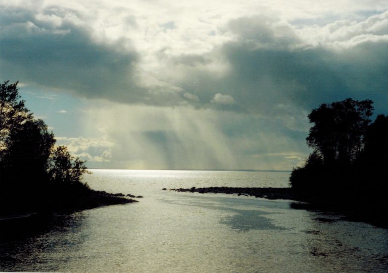
Saskatchewan's long-distance backpacking route: the 84-mile (135 km) Boreal Trail through a string of lakes and rivers.
-
 Lac La Ronge Provincial Park
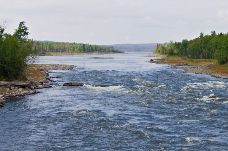
Close to 100 lakes and more than 30 fur-trade canoe routes on the Churchill River system, including Saskatchewan's highest falls.
-
 Prince Albert National Park
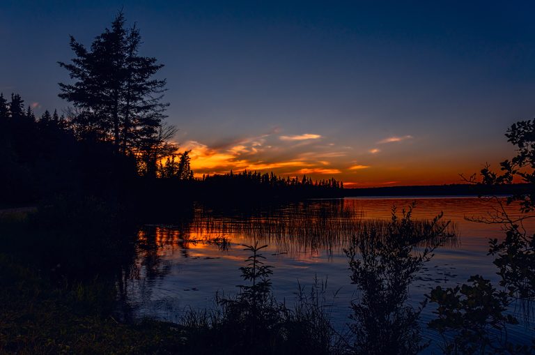
Boreal lakes and forest in central Saskatchewan, with Grey Owl's cabin at Ajawaan Lake, canoe routes and a free-roaming bison herd.
-
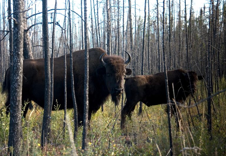 Wood Buffalo National Park
Canada's largest national park, bigger than Switzerland, with free-roaming wood bison and wild whooping cranes.
Straight-line distance between park centres. Road distance is usually longer.
Looking for somewhere closer to home?
See every park and monument within a day’s drive of where you are.