

Cape Chignecto Provincial Park
Fast facts
- Size: about 16 square miles (42 km²)
- Signature route: a 32-mile (52 km) coastal loop, rated difficult
- Setting: a cliff-lined headland between Chignecto Bay and the Minas Channel of the Bay of Fundy
- Gateway: Advocate Harbour
- Managed by: Nova Scotia Provincial Parks
The landscape
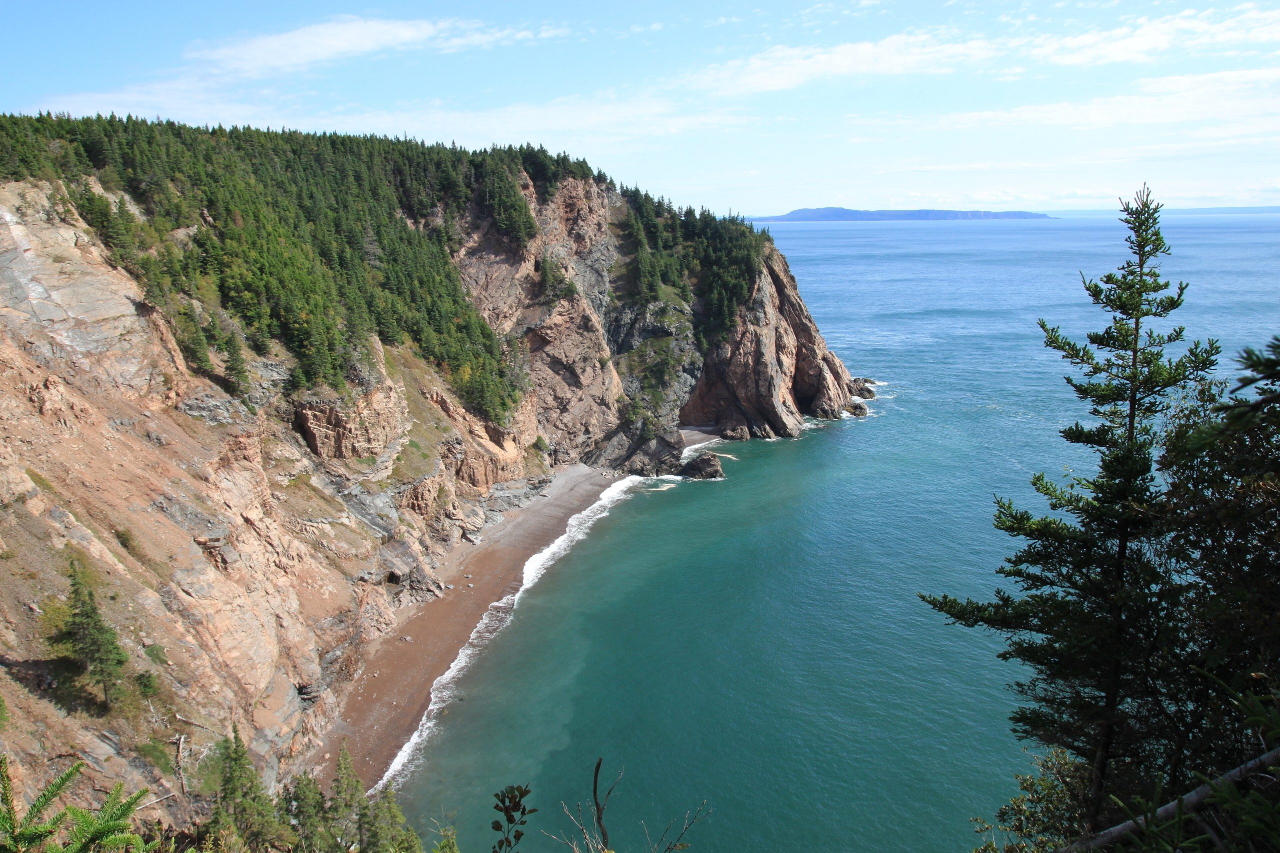
Cape Chignecto is a rugged headland at the head of the Bay of Fundy. Sheer cliffs, some several hundred feet high, drop to cobble beaches, and deep ravines cut through the old forest behind them. The Three Sisters sea stacks stand off the shore near Eatonville. The bay’s tides, the highest in the world, rise and fall by tens of feet twice a day, draining coves to mud and rock. Moose, black bears, bald eagles and seabirds live along the coast.
Best time to go
Summer and early fall are the hiking season. Fog is common, especially in early summer, and the coast stays cool. Late September brings colour and quieter trails. Winter access is limited.
Getting there and around
The park office and Red Rocks trailhead are at Advocate Harbour, on Route 209 in Cumberland County. Every camper registers there before heading out. The coastal loop can be hiked in two to four days, with backcountry campsites and cabins along the way. Kayakers launch for designated coastal sites.
Things to do
The coastal loop is one of the toughest hikes in Atlantic Canada, with constant steep climbs in and out of ravines and big views over the bay. Day hikers can walk shorter sections from Red Rocks or visit the Eatonville day-use area for the Three Sisters. Experienced sea kayakers paddle the coast, timing their trips around the tides.
Staying safe
The trail is physically demanding: plan short days and carry enough water between streams. Keep well back from cliff edges, which are unstable. Anyone going to the shore must know the tide times, because the Fundy tide rises fast and can cut off beaches and coves. Fog and cold water make kayaking a serious undertaking. Carry a satellite messenger and leave a trip plan.
Know before you go
Registration is mandatory, open fires are banned at backcountry sites, and campsite permits are needed for every tent. This page is a general overview, not a live conditions report, so confirm current conditions and reservations with Nova Scotia Provincial Parks before you go.
- Coordinates
- 45.3462, -64.8839
- Magnetic declination
- 16.1° W (2026)
Set this declination on your compass, then align it to the map's north lines; it is the angle between true north and magnetic north, refreshed each year.
How declination works, and how to navigate with a map and compass
A spread of the park’s main places shows straight away, and the rest appear as you zoom in. You can also search above, or pick any place from the lists below, and the map will go to it. Places in bold, marked , have a short description.
Getting there 1
Visitor centre
On the trail 6
Route
Campground
Huts and shelters
Sights 4
Viewpoints
Lake
Peak
Map data comes from third-party sources and may be incomplete or out of date, so carry a current official map (terms).
Looking for one of these closer to home?Destinations near me by trip type →
- Best seasons
- Summer, Early fall
- Difficulty
- Strenuous
- Access / trailheads
- Via Advocate Harbour on Route 209. The coastal trail starts only from the Red Rocks trailhead at the park office; the Eatonville day-use area and the New Yarmouth parking area give other access.
- Water
- Streams along the trail; boil, filter or treat all water.
- Cell / satellite coverage
- Limited to none along the coastal trail. Carry a satellite messenger.
- Nearest ranger / SAR / emergency
- Emergencies: 911. Park office: 902-392-2085.
- Permits & regulations
- All campers must register at the park office before entering. Each tent needs a campsite permit; book backcountry sites as "Cape Chignecto Backcountry" or "Backcountry Kayaking". Open fires are banned at backcountry sites.
- Leave No Trace
- Camp only at designated sites, use stoves (no open fires), bury human waste at least 330 feet (100 m) from water where there are no privies, and pack out all garbage.
January
- Below freezing all day
February
- Below freezing all day
March
- Below-freezing nights
April
- Below-freezing nights
May
June
July
August
September
October This month
November
- Below-freezing nights
December
- Below-freezing nights
What to bring depends on your trip: how long you’re out, where you sleep, and how far you go from the road. The planner builds the list for yours.
Plan a trip here →Averages for 1981–2010 from Environment Canada climate normals, measured at the Alma station, 18 miles (29 km)29 km (18 miles) away at 140 feet (43 m)43 m (140 feet). Higher trails run colder, by about 3.5°F for every 1,000 ft (2°C per 300 m)2°C for every 300 m (3.5°F per 1,000 ft) of climb. Daylight runs from sunrise to sunset on the 15th, on the park’s own clock, for a level horizon. Valleys and slopes facing away from the sun are in shade earlier.
Nearby parks
-
 Fundy National Park
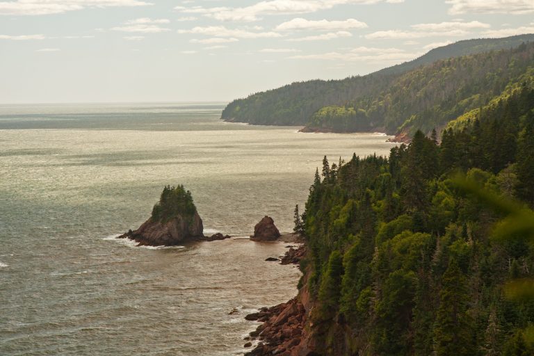
Forested highlands above the Bay of Fundy and the world's highest tides, with waterfalls, the Fundy Circuit and tidal flats at Alma.
-
 Kejimkujik National Park
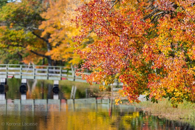
Lakes, rivers and old-growth hemlock in inland Nova Scotia, with canoe routes, Mi'kmaw petroglyphs and dark skies.
-
 Kouchibouguac National Park
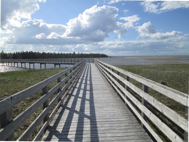
Barrier islands, salt marshes and warm beaches on New Brunswick's Acadian coast, with grey seals, cycling trails and dark-sky stargazing.
-
 Prince Edward Island National Park
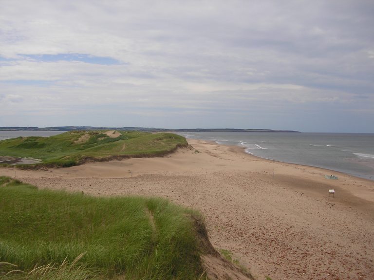
Red sand beaches, dunes and sandstone cliffs on Prince Edward Island's north shore, with Green Gables Heritage Place at Cavendish.
Straight-line distance between park centres. Road distance is usually longer.
Looking for somewhere closer to home?
See every park and monument within a day’s drive of where you are.