

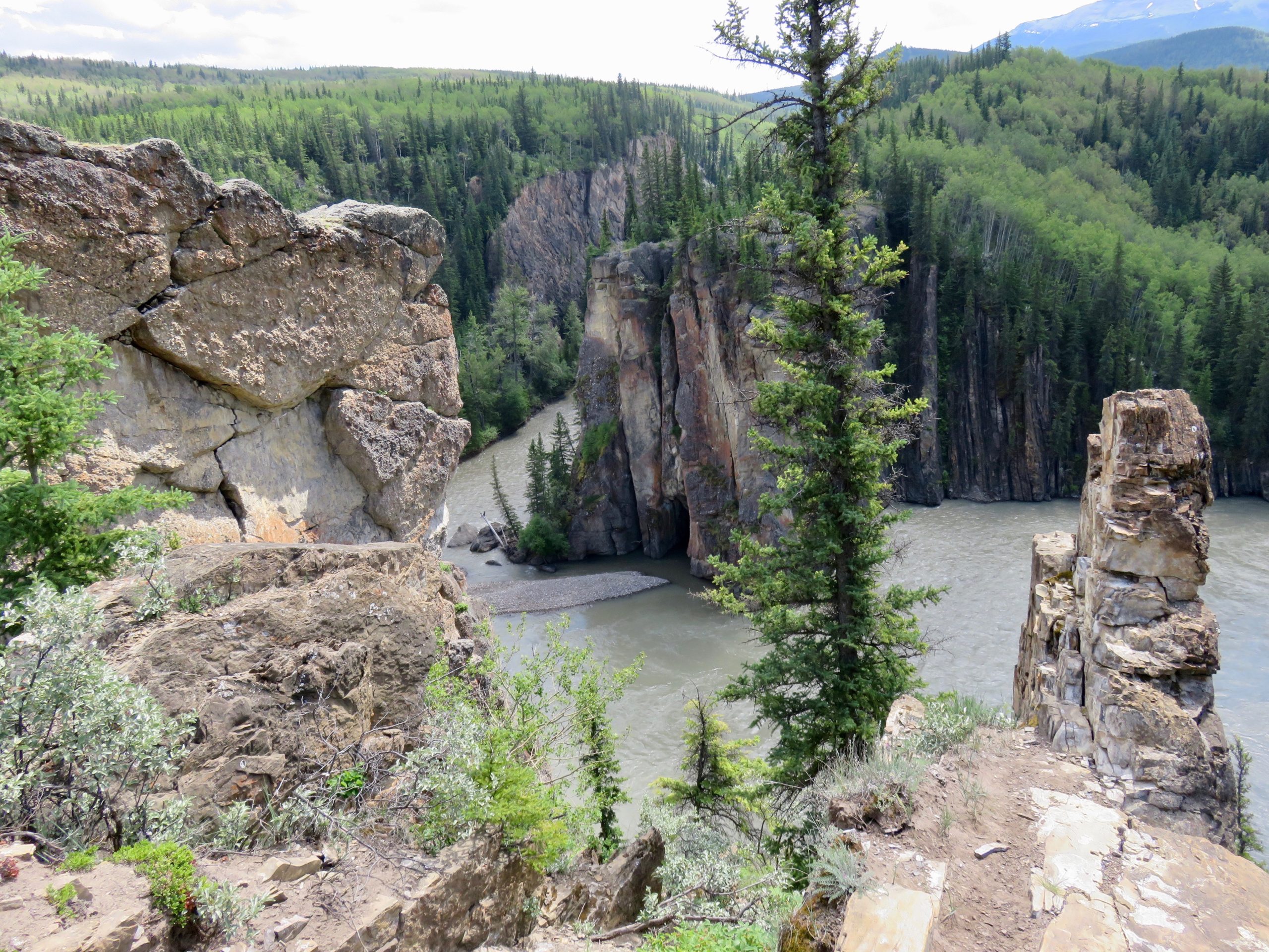
Willmore Wilderness Park
Fast facts
- Established: 1959
- Size: about 1,775 square miles (4,597 km²)
- Trails: more than 466 miles (750 km), shared with horse parties
- Neighbours: Jasper National Park to the south; part of Kakwa–Willmore Interprovincial Park
- Gateway: Grande Cache and Hinton, about 185 miles (300 km) from Edmonton
- Managed by: Alberta Parks
The landscape
Willmore is a vast roadless tract of the northern Rockies: high peaks, old glaciers, broad subalpine valleys and big rivers. Its windswept front ranges are critical winter range for bighorn sheep and mountain goats, and nearly a fifth of Alberta’s sheep and goats live here. Grizzly bears, mountain caribou, wolves and cougars roam a landscape that has barely changed since the fur-trade era.
Best time to go
July to September is the practical window, after snowmelt drops the rivers and before early snow. High water in June makes crossings dangerous. Fall is hunting season in much of the park, so wear bright colours. Winter use is rare and demanding.
Getting there and around
Most trips start from Rock Lake, northwest of Hinton, or Sulphur Gates near Grande Cache, with Big Berland as a third option. Travel is on foot or horseback. Trails are often faint and unmaintained, and many rivers have no bridges. Plan routes with good topographic maps and allow extra days for weather and high water.
Things to do
Willmore is for self-sufficient, multi-day backpacking and horse trips across passes and along river valleys. Wildlife viewing is exceptional. Historic trapper cabins, including the Summit, Sulphur and Sheep Creek cabins, are open for public use. Anglers fish the rivers and lakes for bull trout and Arctic grayling.
Staying safe
Alberta Parks says visitors must be experienced and well equipped. Help can be days away and there is no cell service, so carry a satellite messenger, a detailed map and compass, and a solid first aid kit. River crossings are the biggest hazard: scout, cross early in the day when levels are lower, and turn back if in doubt. Carry bear spray and store food properly. Leave a detailed trip plan with an expected return date.
Know before you go
Random camping is allowed with a Public Lands Camping Pass, and there are no facilities. This page is a general overview, not a live conditions report, so contact Alberta Parks for current trail, fire and river conditions before you go.
- Coordinates
- 53.6844, -119.0745
- Magnetic declination
- 15.5° E (2026)
Set this declination on your compass, then align it to the map's north lines; it is the angle between true north and magnetic north, refreshed each year.
How declination works, and how to navigate with a map and compass
A spread of the park’s main places shows straight away, and the rest appear as you zoom in. You can also search above, or pick any place from the lists below, and the map will go to it. Places in bold, marked , have a short description.
On the trail 15
Campgrounds
Huts and shelters
Sights 35
Viewpoints
Waterfall
Points of interest
Peaks 30
Map data comes from third-party sources and may be incomplete or out of date, so carry a current official map (terms).
Looking for one of these closer to home?Destinations near me by trip type →
- Best seasons
- Summer, Early fall
- Difficulty
- Strenuous (remote wilderness)
- Access / trailheads
- Three main access points: Rock Lake Provincial Park, Sulphur Gates Provincial Recreation Area near Grande Cache, and Big Berland Provincial Recreation Area. Rock Lake and Sulphur Gates have equestrian facilities.
- Water
- Rivers and streams throughout; filter or treat all water.
- Cell / satellite coverage
- None in the park. A satellite messenger is essential.
- Nearest ranger / SAR / emergency
- Emergencies: 911 by satellite device. Hinton Parks Office: 780-865-8395; Switzer Park Visitor Centre: 780-865-5600.
- Permits & regulations
- Random backcountry camping is allowed, with no campsites or facilities. A Public Lands Camping Pass is required.
- Leave No Trace
- Camp well away from water and trails, store food from bears, keep fires small or use a stove, and pack out everything.
January
- Below freezing all day
February
- Below-freezing nights
March
- Below-freezing nights
April
- Below-freezing nights
May
June
July
August
September
October This month
- Below-freezing nights
November
- Below-freezing nights
December
- Below freezing all day
What to bring depends on your trip: how long you’re out, where you sleep, and how far you go from the road. The planner builds the list for yours.
Plan a trip here →Averages for 1981–2010 from Environment Canada climate normals, measured at the Jasper East Gate station, 78 miles (125 km)125 km (78 miles) away at 3,290 feet (1,003 m)1,003 m (3,290 feet). That is the nearest station with long-term records, so treat these as a regional guide. Higher trails run colder, by about 3.5°F for every 1,000 ft (2°C per 300 m)2°C for every 300 m (3.5°F per 1,000 ft) of climb. Daylight runs from sunrise to sunset on the 15th, on the park’s own clock, for a level horizon. Valleys and slopes facing away from the sun are in shade earlier.
Nearby parks
-
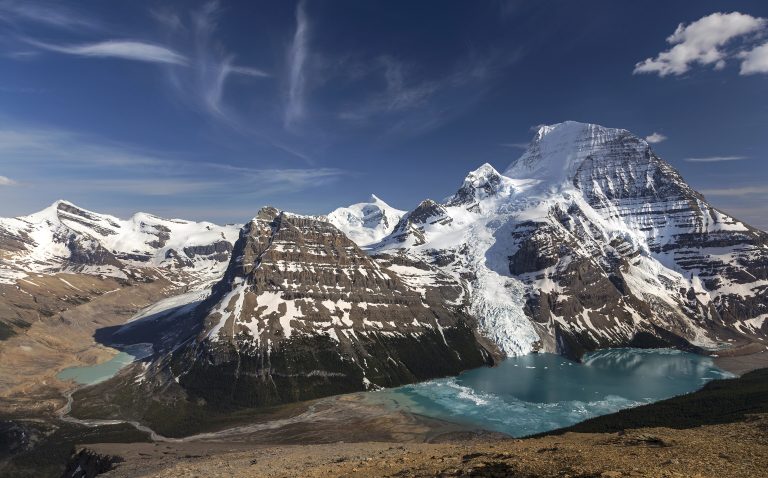 Mount Robson Provincial Park
The highest peak in the Canadian Rockies and the Berg Lake Trail, where glaciers calve into a lake below the mountain’s north face.
-
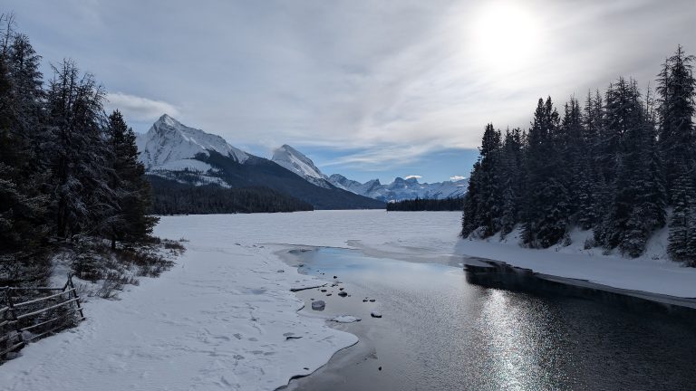 Jasper National Park
The largest park in the Canadian Rockies: the Columbia Icefield, Maligne Lake, the Skyline Trail and a dark-sky preserve.
-
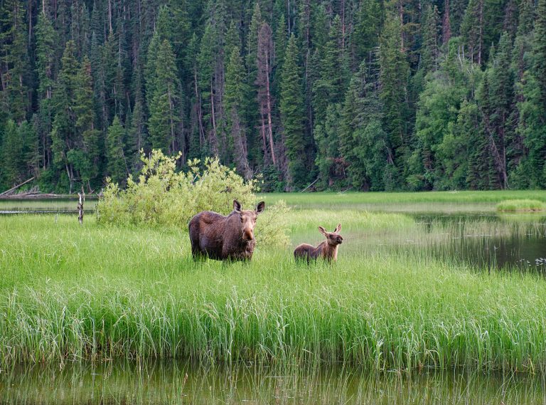 Bowron Lake Provincial Park
A 72-mile (116 km) ring of lakes, rivers and portages in the Cariboo Mountains, paddled over six to ten days.
-
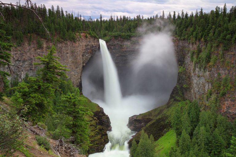 Wells Gray Provincial Park
The waterfall park: Helmcken Falls, volcanic canyons and the largest canoe-only lake in North America, north of Clearwater.
Straight-line distance between park centres. Road distance is usually longer.
Looking for somewhere closer to home?
See every park and monument within a day’s drive of where you are.