

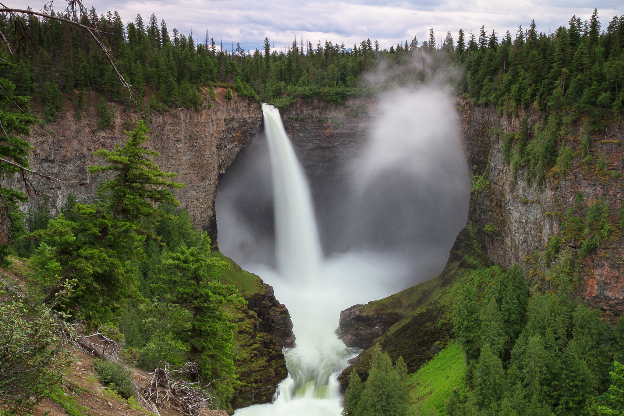
Wells Gray Provincial Park
Fast facts
- Established: 1939
- Size: about 2,085 square miles (5,400 km²), one of the largest parks in British Columbia
- Signature feature: Helmcken Falls, about 463 feet (141 m) high
- Canoe country: Murtle Lake, the largest canoe-only lake in North America
- Gateway: Clearwater, on Highway 5
- Managed by: BC Parks
The landscape
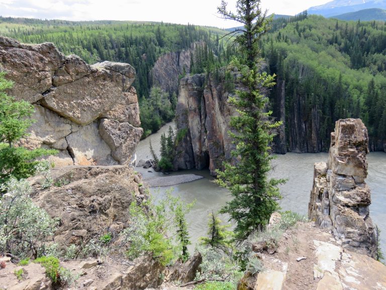
Wells Gray covers a vast area of the Cariboo Mountains and the volcanic plateau to their south. Lava flows and ice shaped the land, and the Clearwater and Murtle rivers cut through it in a string of waterfalls, including Helmcken, Dawson and Spahats. Further north are large, remote lakes and alpine ridges such as Trophy Mountain, known for wildflowers. Black and grizzly bears, moose, caribou and wolves live in the park.
Best time to go
Summer is the main season, when the Corridor road, campgrounds and lakes are all open. Trophy Mountain’s wildflowers peak in late July and August. Fall brings colour and fewer people. In winter, Helmcken Falls builds a huge ice cone and the park is quiet, with skiing and snowshoeing.
Getting there and around
From Clearwater on Highway 5, the Clearwater Valley Road leads north past the park’s main waterfalls to campgrounds and the boat launch at Clearwater Lake. The road becomes gravel further in, with industrial traffic. Murtle Lake, in the east, is reached by a separate road from Blue River and a short portage.
Things to do
Most visitors drive the Corridor for the waterfalls and short walks. Hikers head to Trophy Mountain meadows or multi-day backcountry trails. Paddlers explore Clearwater and Azure lakes, with boat-access campsites and waterfalls on the shore, or Murtle Lake, with 62 miles (100 km) of motor-free shoreline. Boat tours run on Clearwater Lake.
Staying safe
Stay behind the barriers at the falls, where the cliff edges are sheer and the spray makes rock slick. Bears are common, so carry bear spray and store food properly. Big lakes get rough quickly, so paddle near shore and wear a life jacket. Drive carefully on the gravel roads and pull over for industrial trucks. Cell coverage fades fast north of Clearwater, so carry a satellite messenger and leave a trip plan.
Know before you go
Backcountry trips need permit registration, and emergency cabins cannot be booked. This page is a general overview, not a live conditions report, so check BC Parks advisories before you go.
- Coordinates
- 52.2680, -120.0500
- Magnetic declination
- 15.4° E (2026)
Set this declination on your compass, then align it to the map's north lines; it is the angle between true north and magnetic north, refreshed each year.
How declination works, and how to navigate with a map and compass
A spread of the park’s main places shows straight away, and the rest appear as you zoom in. You can also search above, or pick any place from the lists below, and the map will go to it. Places in bold, marked , have a short description.
Getting there 1
Ranger station
On the trail 41
Trailheads
Campgrounds
Huts and shelters
Sights 130
Viewpoints
Waterfalls
Lakes
Heritage site
Points of interest
Islands
Peaks 30
Map data comes from third-party sources and may be incomplete or out of date, so carry a current official map (terms).
Looking for one of these closer to home?Destinations near me by trip type →
- Best seasons
- Summer, Early fall
- Difficulty
- Easy to strenuous
- Access / trailheads
- Highway 5 to Clearwater, then the Clearwater Valley Road north into the park's Corridor, past Spahats Creek, Dawson Falls and Helmcken Falls to Clearwater Lake. Murtle Lake is reached from Blue River.
- Water
- Lakes and streams; treat all backcountry water.
- Cell / satellite coverage
- Limited to around Clearwater; little to none in the park. Carry a satellite messenger.
- Nearest ranger / SAR / emergency
- Emergencies: 911 (RCMP coordinate search and rescue).
- Permits & regulations
- Backcountry camping needs permit registration. Rustic cabins are for emergencies only and cannot be booked.
- Leave No Trace
- Camp in designated sites, store food from bears, stay behind barriers at falls, and pack out all waste.
January
- Below freezing all day
February
- Below-freezing nights
March
- Below-freezing nights
April
- Below-freezing nights
May
June
July
August
- Day-to-night swing of 30°F (17°C)Day-to-night swing of 17°C (30°F)
September
October This month
- Below-freezing nights
November
- Below-freezing nights
December
- Below freezing all day
What to bring depends on your trip: how long you’re out, where you sleep, and how far you go from the road. The planner builds the list for yours.
Plan a trip here →Averages for 1981–2010 from Environment Canada climate normals, measured at the Blue River Airport station, 27 miles (43 km)43 km (27 miles) away at 2,265 feet (690 m)690 m (2,265 feet). Higher trails run colder, by about 3.5°F for every 1,000 ft (2°C per 300 m)2°C for every 300 m (3.5°F per 1,000 ft) of climb. Daylight runs from sunrise to sunset on the 15th, on the park’s own clock, for a level horizon. Valleys and slopes facing away from the sun are in shade earlier.
Nearby parks
-
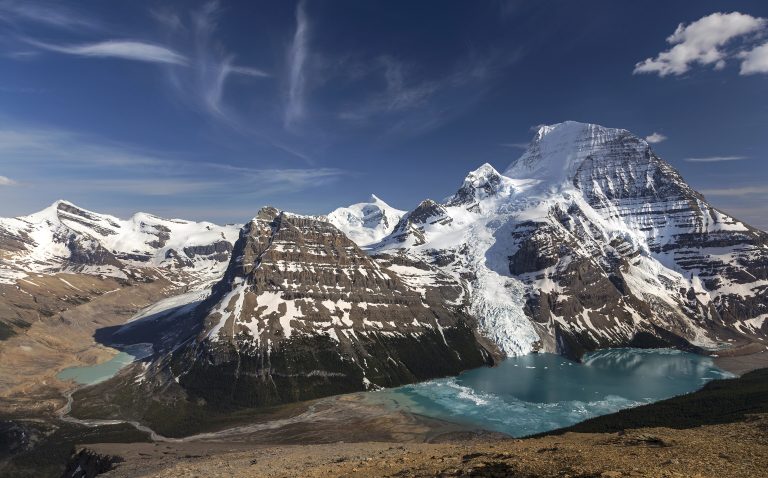 Mount Robson Provincial Park
The highest peak in the Canadian Rockies and the Berg Lake Trail, where glaciers calve into a lake below the mountain’s north face.
-
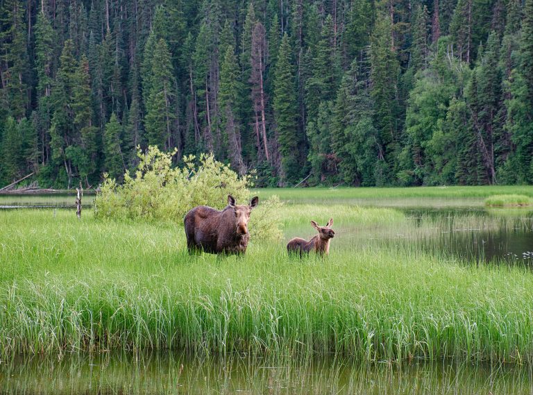 Bowron Lake Provincial Park
A 72-mile (116 km) ring of lakes, rivers and portages in the Cariboo Mountains, paddled over six to ten days.
-
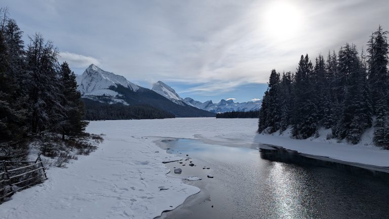 Jasper National Park
The largest park in the Canadian Rockies: the Columbia Icefield, Maligne Lake, the Skyline Trail and a dark-sky preserve.
-
 Willmore Wilderness Park
1,775 square miles (4,597 km²) of roadless Rockies north of Jasper, with 470 miles (750 km) of trail and no facilities.
Straight-line distance between park centres. Road distance is usually longer.
Looking for somewhere closer to home?
See every park and monument within a day’s drive of where you are.